Month guide
Best national parks to visit in May
May is waterfall month in the Sierra and the start of high-country season in the Rockies. The low deserts are getting too hot, so the best May trips go up in elevation or north.
Short answer
In May, go to Yosemite for waterfalls, Great Sand Dunes for Medano Creek, the Grand Canyon's South Rim, Capitol Reef, Canyonlands, Mesa Verde, Shenandoah, or Channel Islands. NOAA normals put May highs near 71F in Yosemite Valley and 70F on the South Rim.
How the May picks were chosen
- Average daily highs at the park's NOAA station land in a comfortable hiking range for May, not a heat or cold extreme.
- May falls inside the park's own best season, or close to it, so the trip is not fighting the calendar.
- Main roads and visitor areas are typically open, with any seasonal closures called out below.
- Every number comes from NOAA's 1991-2020 climate normals, with the station named, so you can check the source.
Recommended parks
Each pick links to the full park guide with season tables, logistics, packing, and route context.
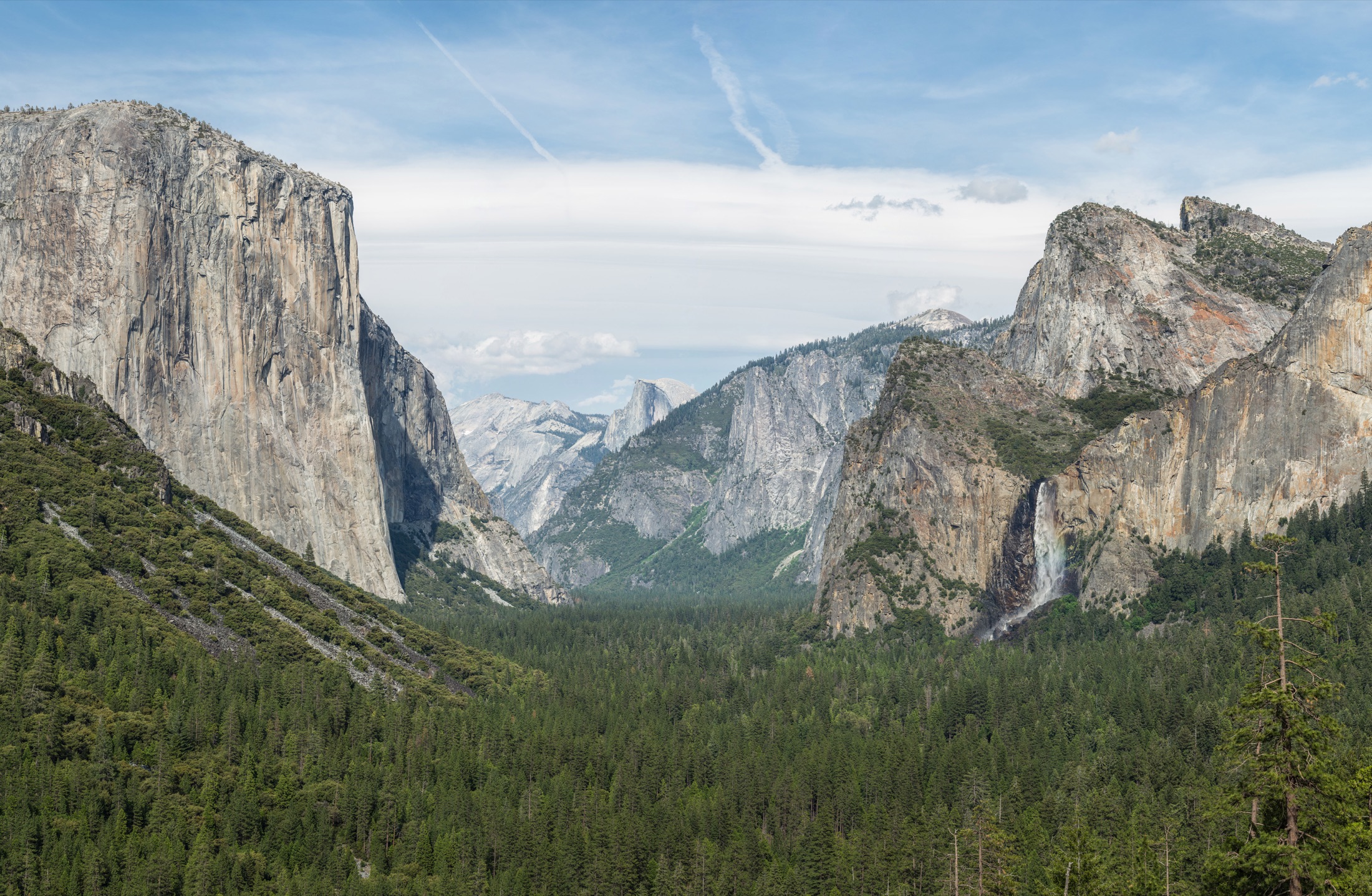
Waterfall peakYosemite
- Best for
- Yosemite Falls, Mist Trail, and valley meadows
- Watch
- Tioga Road and Glacier Point Road open on snow-dependent dates, and peak-season reservation systems have applied in recent years.
Yosemite Valley averages 71F highs and 45F lows in May, when snowmelt pushes the park's waterfalls toward their peak.
May by the numbers
- Avg high
- 71F
- Avg low
- 45F
- Precip
- 1.9 in
NOAA station YOSEMITE PARK HQ (USC00049855), Yosemite Valley.
Pack for Yosemite in May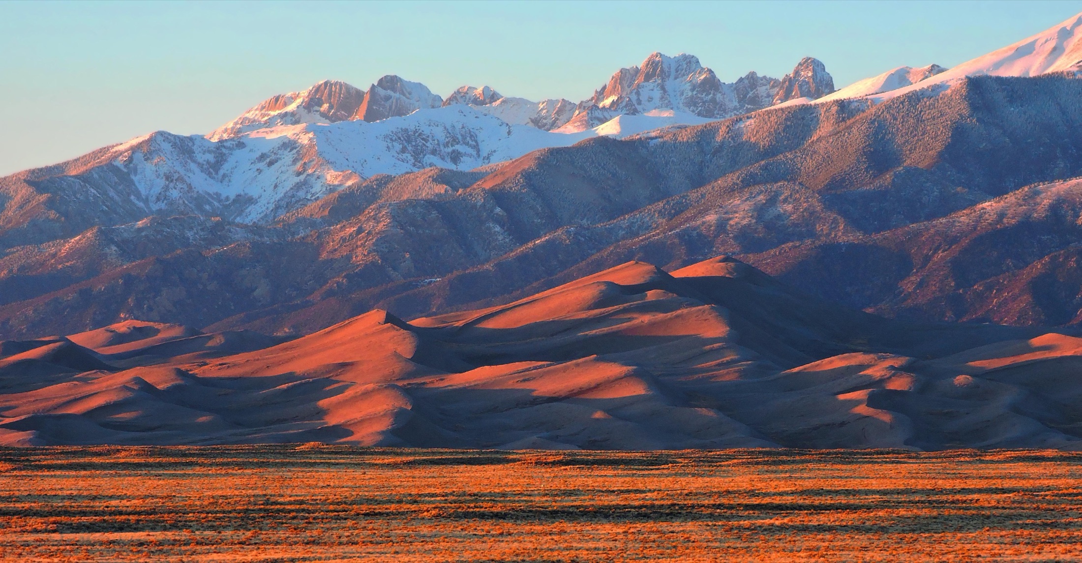 Medano Creek flowing
Great Sand Dunes
- Best for
- Creek play, dune climbs, and stargazing
- Watch
- Afternoon wind is common in spring. Plan dune climbs for the morning.
The visitor center averages 66F highs and 38F lows in May, and late May is when Medano Creek typically runs at the foot of the dunes.
May by the numbers
- Avg high
- 66F
- Avg low
- 38F
- Precip
- 1.2 in
- Snow
- 1.7 in
NOAA station GREAT SAND DUNES NP & PRESERVE (USC00053541), the visitor center at the foot of the dunefield.
Pack for Great Sand Dunes in May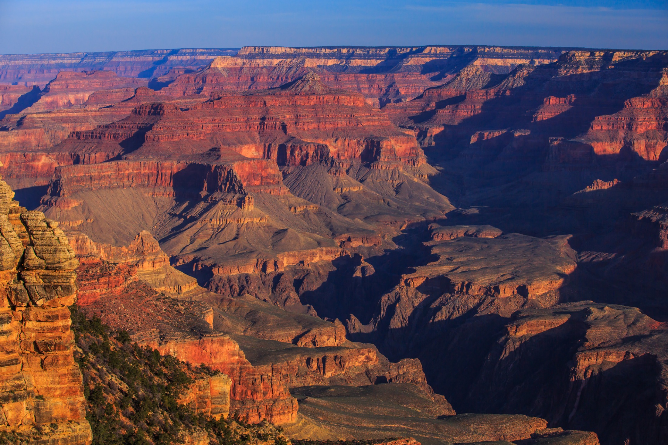 Rim walks, cool mornings
Grand Canyon
- Best for
- South Rim viewpoints and short inner-canyon hikes
- Watch
- Inner-canyon heat builds fast. Do not hike to the river and back in one day.
The South Rim averages 70F highs and 36F lows in May, but Phantom Ranch at the river averages 91F. Rim walks are ideal; inner-canyon hikes need a dawn start.
May by the numbers
- Avg high
- 70F
- Avg low
- 36F
- Precip
- 0.4 in
- Snow
- 0.1 in
NOAA station GRAND CANYON NP 2 (USC00023596), the South Rim, Grand Canyon Village.
Pack for Grand Canyon in May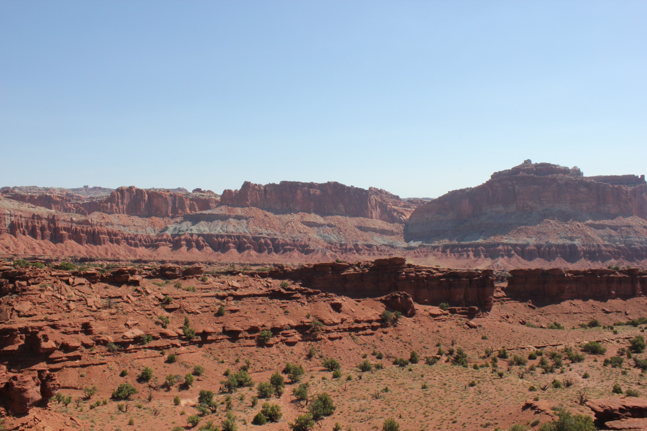 Before summer heat
Capitol Reef
- Best for
- Hickman Bridge, Fruita, and Capitol Gorge
- Watch
- Flash floods come with storms. Check the forecast before entering narrow canyons.
Fruita averages 74F highs and 48F lows in May, at the start of the park's May to October season.
May by the numbers
- Avg high
- 74F
- Avg low
- 48F
- Precip
- 0.7 in
NOAA station CAPITOL REEF NP (USC00421171), Fruita and the scenic drive.
Pack for Capitol Reef in May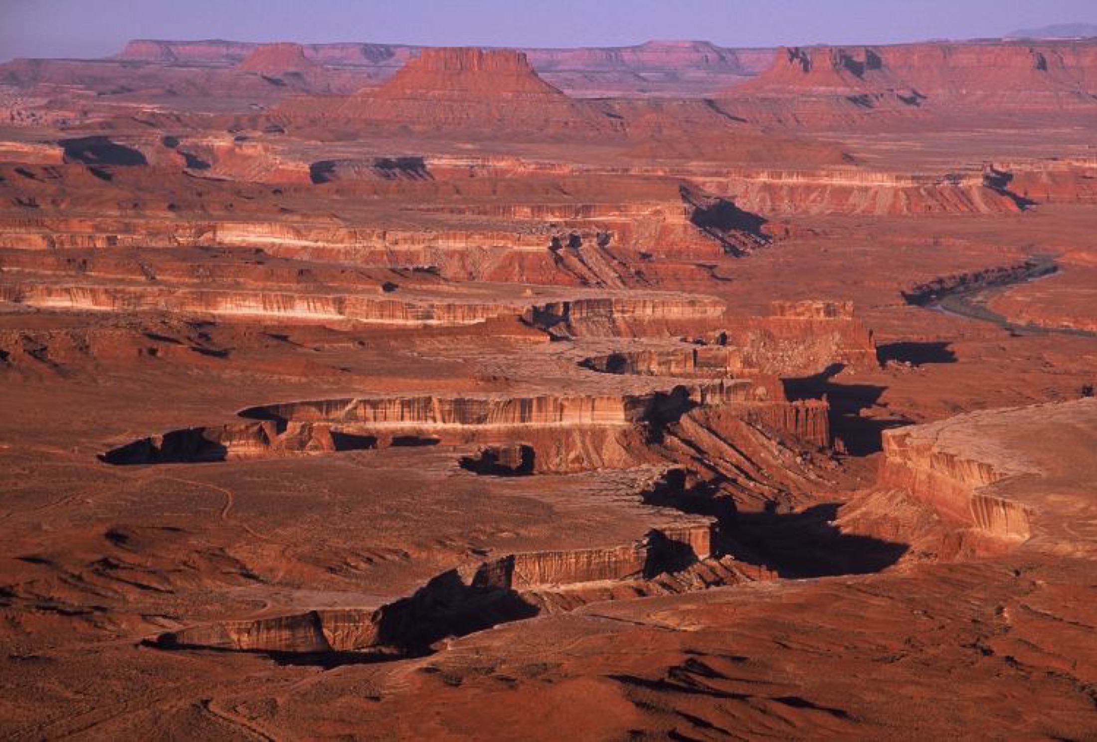 Mesa-top hiking
Canyonlands
- Best for
- Island in the Sky overlooks and Upheaval Dome
- Watch
- Shade is rare. Start early and carry more water than you think.
Island in the Sky averages 72F highs and 50F lows in May, near the end of its spring window.
May by the numbers
- Avg high
- 72F
- Avg low
- 50F
- Precip
- 0.9 in
- Snow
- 0.1 in
NOAA station CANYONLANDS-THE NECK (USC00421163), Island in the Sky mesa top.
Pack for Canyonlands in May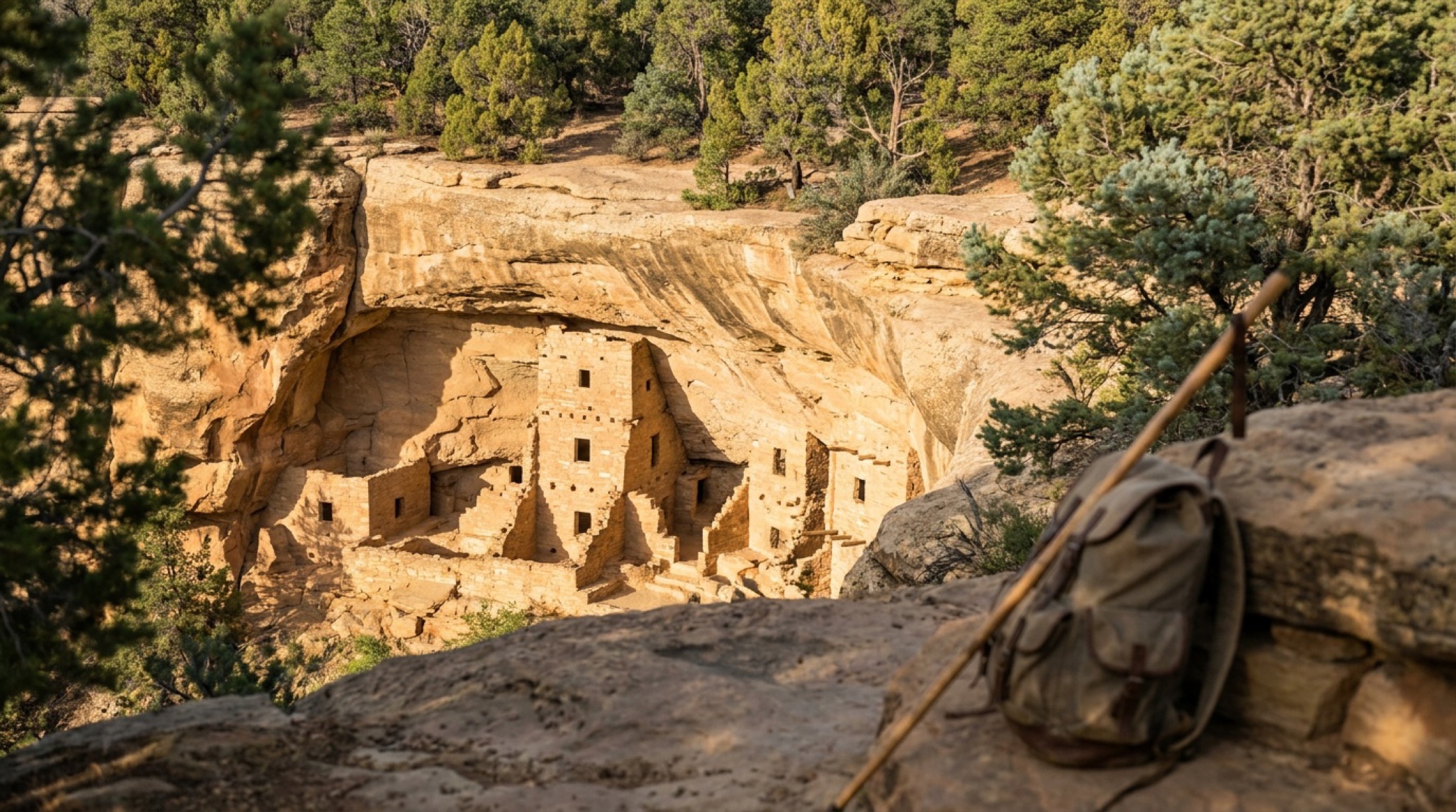 Cliff dwelling tours restart
Mesa Verde
- Best for
- Cliff Palace, Balcony House, and the Mesa Top Loop
- Watch
- Cliff dwelling tours require tickets. Book ahead rather than hoping for a same-day spot.
Chapin Mesa averages 69F highs and 43F lows in May, when ranger-guided cliff dwelling tours ramp up for the season.
May by the numbers
- Avg high
- 69F
- Avg low
- 43F
- Precip
- 1.1 in
- Snow
- 0.6 in
NOAA station MESA VERDE NP (USC00055531), Chapin Mesa, near the cliff dwellings.
Pack for Mesa Verde in May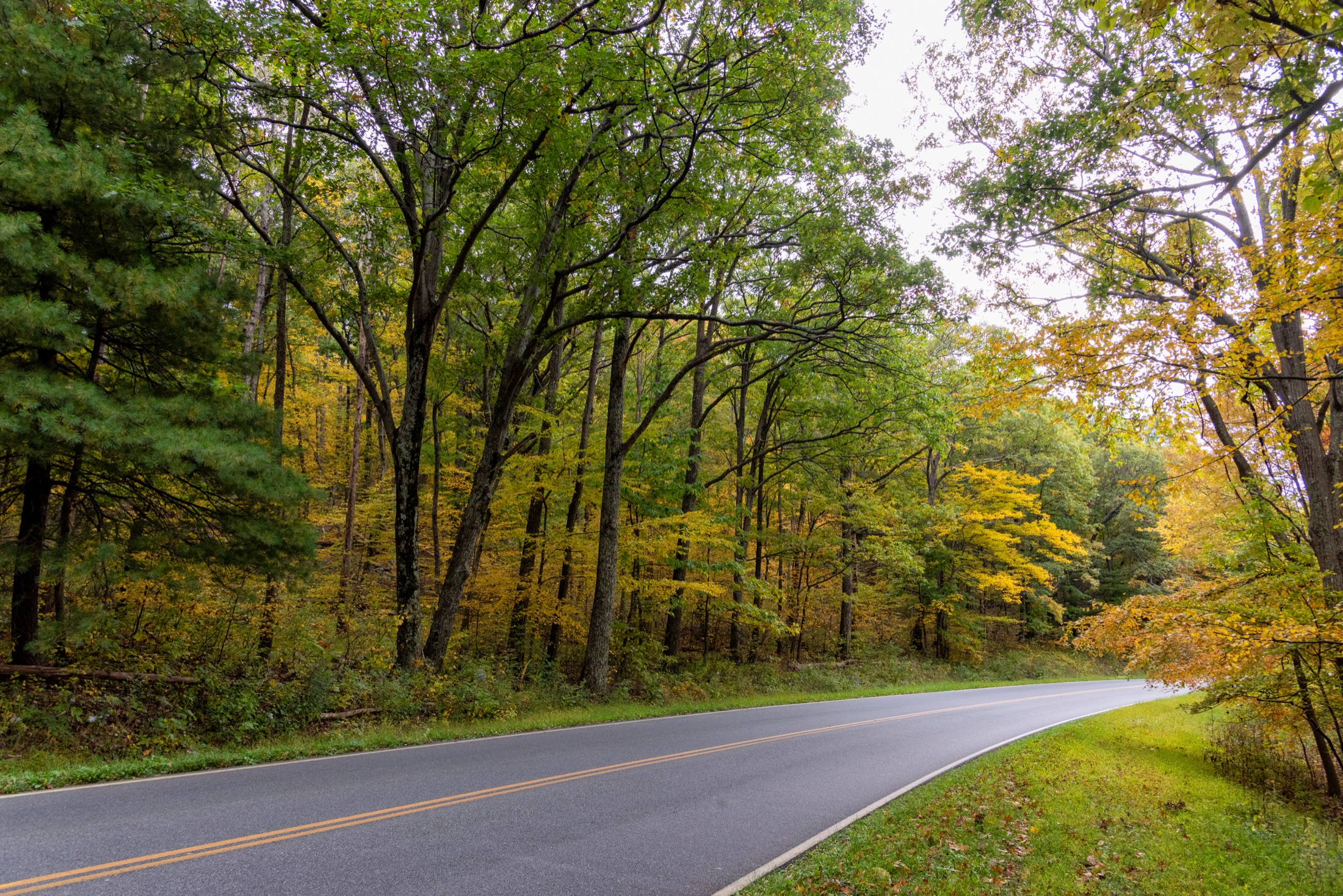 Green ridge, cool air
Shenandoah
- Best for
- Skyline Drive, Dark Hollow Falls, and Big Meadows
- Watch
- NOAA publishes no rainfall normal for Big Meadows, so plan for showers and pack a shell anyway.
Big Meadows on the ridge averages 64F highs and 46F lows in May, much cooler than the valley below.
May by the numbers
- Avg high
- 64F
- Avg low
- 46F
- Precip
- n/a
NOAA station BIG MEADOWS (USC00440720), Big Meadows, on the Skyline Drive ridge.
Pack for Shenandoah in May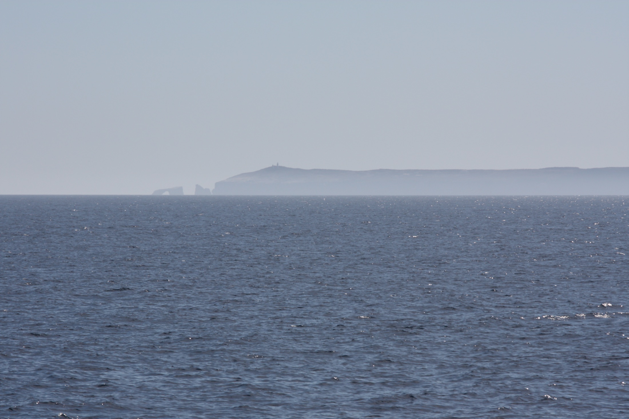 Island hiking
Channel Islands
- Best for
- Santa Cruz Island hikes, kayaking, and island foxes
- Watch
- Fog and wind can still cancel boats. Pack layers for a cool, breezy island day.
The mainland harbor averages 68F highs and 54F lows in May with almost no rain, just 0.3 inches for the month.
May by the numbers
- Avg high
- 68F
- Avg low
- 54F
- Precip
- 0.3 in
NOAA station OXNARD VENTURA CO AP (USW00093110), the Ventura and Oxnard coast, where boats depart (gateway station).
Pack for Channel Islands in MayWhat to pack for the national parks in May
Built from the NOAA averages for the parks above, so it covers the whole spread, from the coldest morning to the warmest afternoon on this list.
A warm layer for mornings
The coldest pick, Grand Canyon, averages 36F lows in May. A light puffy or fleece covers sunrise starts.
Layers for a big daily swing
Grand Canyon swings from about 36F at dawn to 70F in the afternoon. Dress in layers you can peel off on the trail.
May at every national park, by the numbers
Average May highs, lows, and precipitation for the 61 national parks with a usable NOAA station, warmest first. "Best season" marks parks whose own peak window includes May. Tap a park for its full guide, or a pack link for a May packing list.
| Park | High | Low | Precip | Snow | Best season | Plan |
|---|---|---|---|---|---|---|
| Warm: average highs 75F and up | ||||||
| Death Valley | 101F | 75F | 0.0 in | Yes | Pack list | |
| Saguarogateway station | 92F | 62F | 0.2 in | Yes | Pack list | |
| Joshua Tree | 90F | 63F | 0.1 in | Yes | Pack list | |
| Everglades | 89F | 67F | 5.8 in | Pack list | ||
| Big Bend | 89F | 62F | 1.3 in | Yes | Pack list | |
| Biscaynegateway station | 88F | 68F | 5.8 in | Yes | Pack list | |
| White Sands | 88F | 50F | 0.5 in | Yes | Pack list | |
| Virgin Islandsgateway station | 87F | 78F | 3.0 in | Pack list | ||
| American Samoagateway station | 86F | 78F | 11.7 in | Pack list | ||
| Dry Tortugas | 86F | 75F | 2.0 in | Yes | Pack list | |
| Carlsbad Caverns | 84F | 58F | 1.3 in | Pack list | ||
| Congareegateway station | 84F | 62F | 3.0 in | Yes | Pack list | |
| Zion | 84F | 53F | 0.8 in | Yes | Pack list | |
| Mammoth Cave | 81F | 57F | 5.2 in | Pack list | ||
| Hot Springs | 80F | 60F | 6.5 in | Yes | Pack list | |
| Arches | 80F | 53F | 0.8 in | Pack list | ||
| Pinnacles | 80F | 43F | 0.6 in | Yes | Pack list | |
| Guadalupe Mountains | 79F | 55F | 0.9 in | Pack list | ||
| Petrified Forest | 78F | 44F | 0.5 in | Yes | Pack list | |
| Gateway Archgateway station | 77F | 58F | 4.8 in | Yes | Pack list | |
| Great Smoky Mountains | 75F | 51F | 5.5 in | Pack list | ||
| Mild: average highs 60F to 74F | ||||||
| Capitol Reef | 74F | 48F | 0.7 in | Yes | Pack list | |
| Canyonlands | 72F | 50F | 0.9 in | 0.1 in | Yes | Pack list |
| Badlands | 72F | 46F | 3.6 in | 0.5 in | Pack list | |
| New River Gorgegateway station | 72F | 50F | 5.1 in | Pack list | ||
| Cuyahoga Valleygateway station | 71F | 51F | 3.8 in | Pack list | ||
| Hawaii Volcanoes | 71F | 53F | 6.5 in | Pack list | ||
| Yosemite | 71F | 45F | 1.9 in | Yes | Pack list | |
| Grand Canyon | 70F | 36F | 0.4 in | 0.1 in | Yes | Pack list |
| Mesa Verde | 69F | 43F | 1.1 in | 0.6 in | Pack list | |
| Indiana Dunes | 68F | 50F | 4.3 in | Pack list | ||
| Channel Islandsgateway station | 68F | 54F | 0.3 in | Yes | Pack list | |
| Theodore Roosevelt | 67F | 41F | 2.6 in | 0.4 in | Pack list | |
| North Cascades | 67F | 46F | 3.0 in | Pack list | ||
| Black Canyon of the Gunnison | 66F | 38F | 1.6 in | Pack list | ||
| Wind Cave | 66F | 41F | 3.7 in | 0.9 in | Pack list | |
| Great Sand Dunes | 66F | 38F | 1.2 in | 1.7 in | Pack list | |
| Acadia | 65F | 45F | 4.5 in | Pack list | ||
| Shenandoah | 64F | 46F | n/a | Pack list | ||
| Great Basin | 64F | 40F | 1.3 in | 0.7 in | Pack list | |
| Voyageursgateway station | 64F | 38F | 3.1 in | 0.2 in | Pack list | |
| Glacier | 64F | 39F | 2.6 in | 0.5 in | Pack list | |
| Haleakala | 63F | 46F | 2.4 in | Yes | Pack list | |
| Bryce Canyon | 63F | 37F | 0.9 in | 1.5 in | Pack list | |
| Wrangell-St. Elias | 62F | 31F | 0.9 in | 0.6 in | Pack list | |
| Grand Teton | 62F | 33F | 2.0 in | 0.9 in | Pack list | |
| Redwood National and State Parks | 61F | 47F | 3.6 in | Pack list | ||
| Rocky Mountaingateway station | 61F | 35F | 2.3 in | 9.5 in | Pack list | |
| Lassen Volcanic | 61F | 35F | 2.9 in | Pack list | ||
| Kings Canyon | 60F | 38F | 1.4 in | 4.9 in | Pack list | |
| Olympicgateway station | 60F | 48F | 1.1 in | Pack list | ||
| Cool: average highs 45F to 59F | ||||||
| Lake Clark | 59F | 39F | 0.4 in | 0.8 in | Pack list | |
| Sequoia | 58F | 33F | 2.1 in | 6.0 in | Pack list | |
| Gates of the Arcticgateway station | 56F | 34F | 0.9 in | 1.0 in | Pack list | |
| Katmaigateway station | 55F | 36F | 1.4 in | 0.6 in | Pack list | |
| Yellowstone | 55F | 29F | 2.7 in | 5.4 in | Pack list | |
| Denali | 55F | 31F | 0.8 in | 2.6 in | Pack list | |
| Glacier Bay | 54F | 39F | 3.1 in | Pack list | ||
| Kenai Fjordsgateway station | 53F | 39F | 3.5 in | Pack list | ||
| Crater Lake | 49F | 29F | 3.7 in | 14.5 in | Pack list | |
| Mount Rainier | 48F | 33F | 5.1 in | Pack list | ||
Source: NOAA NCEI U.S. Climate Normals, 1991-2020 monthly averages, one station per park at or near its main visitor area (each park guide names its station and distance). Gateway stations sit outside the park where no in-park station publishes normals. Isle Royale and Kobuk Valley have no representative station and are left out. Averages describe a typical year, not a forecast.
Planning notes
Snowmelt runs the calendar
High roads in Yosemite, Rocky Mountain, and Glacier open when plows finish, not on fixed dates. Check road status before you lock in anything above the valleys.
Memorial Day is the starting gun
The holiday weekend marks the start of summer crowds. The first three weeks of May are the calm version of the same weather.
The rim and the river are different trips
Grand Canyon's South Rim averages 70F highs in May while Phantom Ranch averages 91F. Pack for both if you plan to drop below the rim.
Frequently asked questions
When are Yosemite's waterfalls at their peak?
Snowmelt usually pushes the falls to their peak in May and June. Big snow years run longer, and dry years peak earlier and fade by midsummer.
What is the warmest national park in May?
Death Valley has the warmest May normals of any park with a NOAA station, averaging 101F highs and 75F lows. In the lower 48 the warmest are Death Valley (101F), Saguaro (92F), and Joshua Tree (90F), based on NOAA's 1991-2020 climate normals.
Which national parks stay coolest in May?
In the lower 48, the coolest May normals belong to Mount Rainier (48F average highs), Crater Lake (49F average highs), and Yellowstone (55F average highs). Figures are for each park's NOAA station, named in its park guide. High elevation and ocean air do the work.
Pack and plan this trip
Gear keyed to what these parks are for, the tools to size your days and budget, and explainers worth a read before you go.
What to pack
Plan with our tools
More trip planning paths
Month guide
Best National Parks to Visit in April
Where to go in April: Utah canyon country and spring green in the East. Ranked with NOAA 1991-2020 climate normals, with highs and lows for every park.
Open guideMonth guide
Best National Parks to Visit in June
Where to go in June: the high country opening and Alaska's first weeks. Ranked with NOAA 1991-2020 climate normals, with highs and lows for every park.
Open guideSeason guide
Best National Parks in Spring
A researched shortlist of the best national parks in spring, focused on peak waterfalls, wildflower blooms, and the last comfortable desert window before summer heat.
Open guide