Skip to content
KITAUTHORITY
Jagged glacier-capped peaks of The Triplets, Cascade Peak, and Johannesburg Mountain rising above forested ridges along the Cascade Pass Trail in North Cascades National Park, Washington.

National Park · Washington

North Cascades

Jagged peaks, 300-plus glaciers, and turquoise lakes an hour from a highway, with almost no crowds.

Adam Lusch via Wikimedia Commons (CC BY-SA 2.0)
Washington Pass, the North Cascades Highway, and the Liberty Bell Group

Field briefing

North Cascades changes fast with season and elevation.

Before you go

North Cascades is Washington's wildest, least-crowded national park: a maze of glaciated peaks, deep valleys, and electric-blue lakes that sees fewer than 20,000 visitors a year.

Plan your trip for mid-July through September, when the snow has melted off the high passes and the North Cascades Highway is fully open. The window is short, so pack for fast-changing mountain weather: rain layers, warm midlayers, sturdy boots, sun protection, and plenty of water. Many of the best experiences are earned on foot or require a free backcountry permit, so build in time for the drive and the climb.

Best window
Mid-July through September, when the high passes are clear of snow.
Signature routes
Cascade Pass, Diablo Lake Overlook
Pack focus
Water, layers

The landmarks worth the trip. Tap any photo to enlarge.

Location
Washington
Established
October 2, 1968
Size
505k acres
Visitors
16k / year
Best time
Mid-July through September, when the high passes are clear of snow.
Entrance
No entrance fee. The park is free to enter, with no timed-entry reservation. A free backcountry permit is required for overnight trips, and a Northwest Forest Pass or America the Beautiful pass is needed at some adjacent trailheads.
Nearest airport
Seattle-Tacoma International (SEA), about 2.5 hours by car to the Newhalem visitor center; Bellingham International (BLI) is closer at roughly 1.5 hours.

When to go

Conditions, crowds, and what each season asks you to pack.

Spring

Low crowds

Highs in the 40s to low 60s F at valley level; upper trails stay buried in snow well into June.

Pack Waterproof layers and traction for lingering snow on shaded trails.

Summer

70-80F

Moderate crowds

Valley highs 70-80F, cool and crisp up high; the clear, dry window most visitors aim for.

Pack Sun protection, plenty of water, and bug spray for the lakeshores.

Fall

Moderate crowds

Highs in the 50s to 60s F with golden larches in late September and early October.

Pack Warm midlayers and a headlamp for shorter daylight.

Winter

Low crowds

Cold and snowy, highs in the 30s F; the North Cascades Highway closes from roughly November to May.

Pack Full winter kit, snowshoes or skis, and avalanche awareness.

Tents set in forest near Ross Lake

Top things to do

Pelton Basin and glacier-covered peaks from Cascade Pass

Cascade Pass

Hard

A classic switchbacking day hike to a glacier-rimmed pass, the park's most-loved trail.

Turquoise Diablo Lake seen from the overlook

Diablo Lake Overlook

Easy

The famous turquoise reservoir view, right off Highway 20 with almost no walking.

Maple Pass Loop crossing open North Cascades high country

Maple Pass Loop

7 mi loopHard

A roughly 7-mile loop ringed by alpine larches that turn gold in fall.

Washington Pass and the North Cascades Highway below the Liberty Bell Group

North Cascades Highway (SR 20)

30 mi park drive

One of the most scenic drives in the country, threading the heart of the range.

Sahale Arm and Cascade Pass in the North Cascades

Sahale Arm

Strenuous

An extension above Cascade Pass to a glacier camp with 360-degree peak views.

How long to spend

Anchor the day around Cascade Pass

Put the access rule first: shuttle, parking, timed-entry, or reservation windows should decide the order of the day. For one day in North Cascades, make Cascade Pass the non-negotiable, add Diablo Lake Overlook only if the first stop runs clean, and keep Maple Pass Loop as the flexible finish.

  1. 1Start with Cascade Pass: A classic switchbacking day hike to a glacier-rimmed pass, the park's most-loved trail.
  2. 2Add Diablo Lake Overlook: The famous turquoise reservoir view, right off Highway 20 with almost no walking.
  3. 3Use Maple Pass Loop as the optional finish, not as a reason to rush the whole day.

Plan your trip

Turn North Cascades's conditions into water, pack, and sleep-system decisions.

Maple Pass Loop trail crossing open North Cascades high country

Build around conditions

Let season, elevation, and weather set the plan.

Plan your trip

4 quick tools, already seeded for North Cascades. Tune the numbers around temperature swings, footing, layers, and how much margin the route needs.

  1. 01Size your water for a warm day on the trail
  2. 02Dial in your pack base weight before you load up
  3. 03Find the pack size a multi-day trip here needs
  4. 04Check you will sleep warm down to about 70F

What to pack

Start with the gear decisions North Cascades changes: water, footing, weather, and overnight needs. The checklist is there once your route and dates are set.

Pack planning

Decide what North Cascades asks of your kit before you start checking boxes.

Use this as a constraint check while you are still shaping the trip. The active checklist becomes useful once your route, dates, and sleep plan are set.

  • First constraintHydration and exposureWater, hat, sunscreen, sunglasses, Navigationmap, downloaded GPS, or a GPS watch, 3 more
  • Route realityFooting and tractionHiking boots, Hiking socks, Trekking poles
  • Load choicePack and carry systemBackpacking pack
  • If overnightSleep and shelterBackpacking tent, Sleeping bag, Sleeping pad, 1 more

Checklist mode

21 items, grouped for the trip you are actually taking.

  1. Dates and season are set.
  2. Primary route, campground, or lodge is chosen.
  3. Water, footwear, and overnight needs are sized.

Gear for North Cascades

The buying guides that match what North Cascades asks of your kit. Each one has our current top picks across budget and use case.

Where to stay

Washington Pass and the North Cascades Highway below the Liberty Bell Group

Stay strategy

Choose the base that protects the permit window.

Stay strategy

Base along Highway 20 unless you are deliberately going remote.

North Cascades trips split between the Highway 20 corridor, Ross Lake, and deep backcountry. Camp near Newhalem or Colonial Creek for the simplest first visit, use Marblemount or Concrete for a roof, and choose Ross Lake or Stehekin only when the access itself is part of the plan.

Main road
State Route 20 is the paved cross-park artery
Winter closure
Highway 20 closes over the high passes in winter
In-park lodges
No standard park lodge inside the national park
Backcountry
Permits required for wilderness camping

Compare base options

Use the options below to protect the permit, pickup, and early-start parts of the trip before you optimize for comfort.

Tents set in forest near Ross Lake

Best first base

Newhalem, Goodell Creek, or Colonial Creek campgrounds

Camping details
Best for
Highway 20 overlooks, Diablo Lake, day hikes, and first-time logistics
Tradeoff
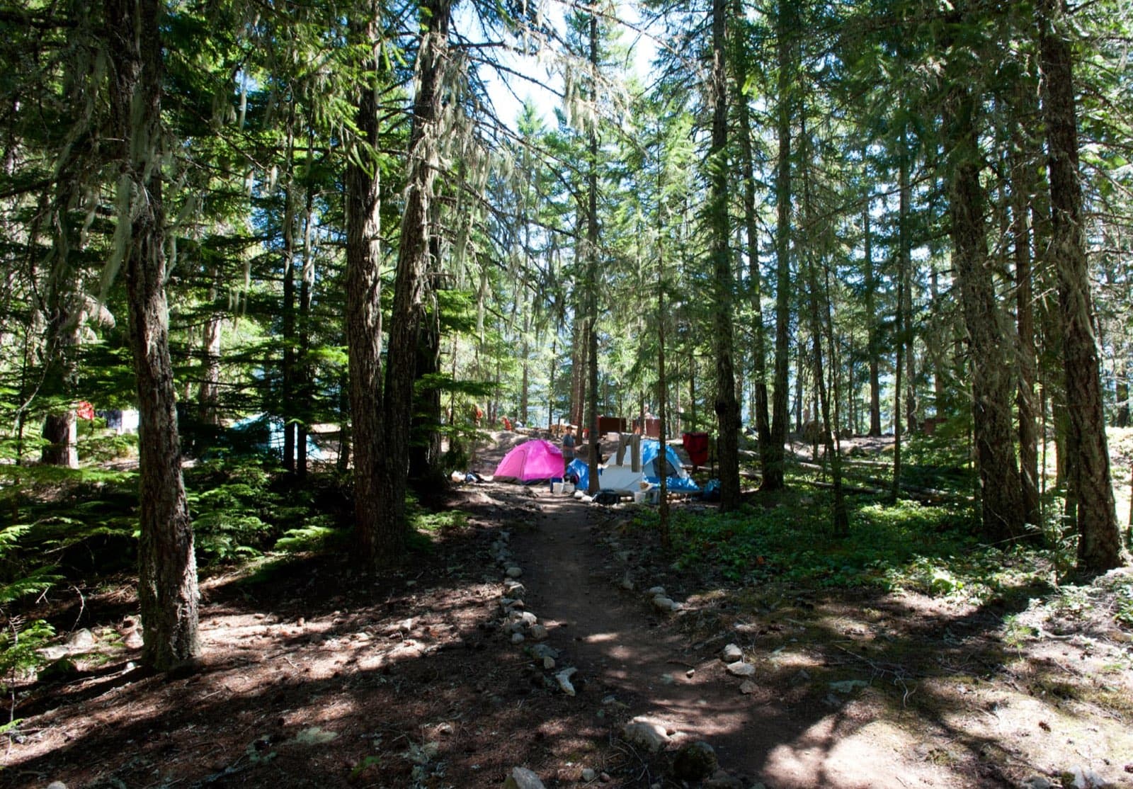
Camp-focused, with limited services and seasonal demand.
Planning detail

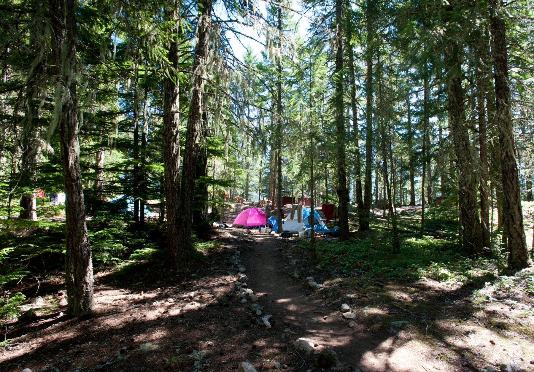
Camp along Highway 20 if you want the classic North Cascades sampler without complicated access. Colonial Creek is especially useful for Diablo Lake and the central corridor.

Jagged North Cascades peaks and glaciers

Roof outside

Marblemount or Concrete

Directions
Best for
Hotel or cabin nights before Cascade Pass, Diablo, and Highway 20 days
Tradeoff
Small-town inventory and some driving before the best views.
Planning detail

Use these west-side towns when you want a bed and an early start toward Cascade River Road or the Highway 20 corridor.

Turquoise Diablo Lake seen from the overlook

Water access

Ross Lake Resort or Learning Center programs

Best for
Paddling, lake time, educational programs, and a nonstandard base
Tradeoff
Access is more constrained than a normal roadside hotel.
Planning detail

Pick this only when the lake or program is the reason. It is not the easiest way to sample every highway overlook and trailhead.

Sahale Arm and Cascade Pass in the North Cascades

Permit trip

Cascade Pass, Sahale Arm, or deeper wilderness

Wilderness permits
Best for
Experienced hikers chasing the park's alpine heart
Tradeoff
Permits, snow, road status, and weather can all reshape the plan.
Planning detail

For overnight trips, solve the permit and road-access puzzle before buying gear around a route. Snow can linger high well into summer.

Road first

Check Highway 20 and Cascade River Road status before treating any trailhead as guaranteed.

One zone per day

The map looks compact, but mountain roads make zone-hopping slow.

Camping reservations

Camping reservations

Camping reservations for North Cascades

Campground systems change by season and sometimes by individual campground. Start with the official park camping page, then confirm open dates, reservation windows, and permit rules before booking.

Reviewed June 6, 2026

Booking window

Check the official park camping page before choosing dates.

  • Use the official park page as the source of truth for campground status, seasonal closures, and first-come rules.
  • Many federal campsite, backcountry, tour, and permit reservations are handled through Recreation.gov, but not every park uses the same system.

Where to book or verify

Official NPS camping page

Use this first for current campground status and park-specific rules.

Search Recreation.gov

Check for federal campground, backcountry, tour, and permit inventory tied to this park.

Permits and reservations

Use this for wilderness permits, timed systems, tours, and other park-specific reservations.

Getting there and practical info

Tents set in forest near Ross Lake

Plan the handoff from arrival to shuttle.

Parking, pedestrian entrances, and shuttle timing decide how calmly the first morning starts.

Getting there

Get to North Cascades, then remove the first-morning friction.

Nearest airport
Seattle-Tacoma International (SEA), about 2.5 hours by car to the Newhalem visitor center; Bellingham International (BLI) is closer at roughly 1.5 hours.
Access rhythm
Plan the last mile
Region
Washington
  1. Car strategy

    From Seattle, drive north on Interstate 5 then east on State Route 20, the North Cascades Highway, reaching the Newhalem area in about 2.5 hours.

  2. Car strategy

    SR 20 is the main artery through the park complex and the only paved road that crosses it.

  3. Car strategy

    Note that the highway's eastern section over Rainy and Washington Passes closes for the winter, roughly November through May, so confirm the road status before a shoulder-season trip.

Pair this with lodging: sleep where the park transfer is simple, especially if your route needs an early start.

LocationWashington

Frequently asked questions

Do you need a reservation to visit North Cascades National Park?

No. There is no entrance fee and no timed-entry reservation to drive through or visit the park. You do need a free backcountry permit for any overnight trip into the wilderness, and some adjacent trailheads ask for a Northwest Forest Pass or America the Beautiful pass for parking.

When is the best time to visit North Cascades?

Mid-July through September is the prime window, when snow has cleared from the high trails and the full North Cascades Highway is open. Late September into early October adds golden larch color. Winter closes the cross-park highway and buries most trails in snow.

Why does North Cascades get so few visitors?

With around 16,485 recreation visits in 2024, it is one of the least-visited national parks in the lower 48. The terrain is steep and roadless, the best sights require hiking, and the dramatic Diablo Lake and Ross Lake areas are technically separate recreation units, so the national park itself stays quiet.

Can you see the park without a long hike?

Yes. The North Cascades Highway and the Diablo Lake Overlook deliver world-class mountain and turquoise-lake views with little or no walking. That said, the signature high-country scenery at places like Cascade Pass and Maple Pass is earned on foot.

Keep planning