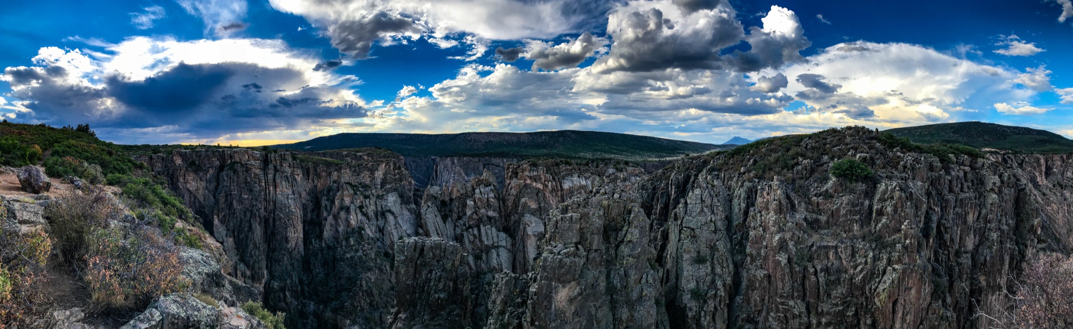
When to go
Conditions, crowds, and what each season asks you to pack.
Spring
Highs in the 50s to 60s F, chilly mornings, lingering snow and ice on shaded rim trails into April.
Pack Layers and traction, since shaded inner trails stay icy after the rims thaw.
Summer
Warm and dry on the rims, highs in the 70s to mid 80s F, with afternoon thunderstorms common in July and August.
Pack Sun protection, two-plus liters of water, and a rain shell for afternoon storms.
Fall
Crisp and clear, highs in the 50s to 70s F, cold nights, peak color in late September and October.
Pack Warm layers for cold mornings and a wind layer for exposed overlooks.
Winter
Cold, highs in the 30s to 40s F, snow on the rims and the South Rim Road closed past the visitor center.
Pack Snowshoes or microspikes, insulation, and traction for icy overlooks.
Crowds by month, from NPS visit counts
Busiest: June. An average June brings about 54,300 recreation visits to Black Canyon of the Gunnison, roughly 1,810 a day. Peak crowds run June to July and September.
Quietest: December. About 5,070 visits, 9% of the busiest month. Crowds stay low December to April.
- Low
- Moderate
- High
- Peak
Bar height is each month's average visits compared with the busiest month. Low is under 25% of that peak, Moderate 25 to 49%, High 50 to 74%, Peak 75% and up.
See the monthly numbers
| Month | Avg visits | Share of year | Crowds |
|---|---|---|---|
| January | 10,319 | 3% | Low |
| February | 7,238 | 2% | Low |
| March | 9,502 | 3% | Low |
| April | 11,311 | 4% | Low |
| May | 36,019 | 11% | High |
| June | 54,324 | 17% | Peak |
| July | 43,330 | 13% | Peak |
| August | 40,322 | 13% | High |
| September | 49,489 | 15% | Peak |
| October | 39,756 | 12% | High |
| November | 14,651 | 5% | Moderate |
| December | 5,069 | 2% | Low |
Source: NPS Visitor Use Statistics, monthly recreation visits, averaged over 2023–2025. October and November 2025 are left out of the averages because of the federal government shutdown. Visits count entries, not unique people. NPS monthly report for Black Canyon of the Gunnison · Crowd calendar for all 63 parks
Black Canyon of the Gunnison weather by month
Average daily highs and lows, plus monthly precipitation, from NOAA's 1991-2020 climate normals for the South Rim. Shaded months are the park's best season. Tap a month to build a pack list for it.
| Month | Jan | Feb | Mar | Apr | May | Jun | Jul | Aug | Sep | Oct | Nov | Dec |
|---|---|---|---|---|---|---|---|---|---|---|---|---|
| High (F) | 37 | 40 | 49 | 56 | 66 | 76 | 82 | 81 | 72 | 60 | 47 | 36 |
| Low (F) | 13 | 16 | 23 | 29 | 38 | 46 | 53 | 52 | 44 | 33 | 23 | 13 |
| Precip (in) | 1.7 | 1.7 | 2.0 | 1.8 | 1.6 | 0.7 | 1.7 | 1.7 | 2.1 | 1.9 | 1.5 | 1.5 |
Station BLACK CANYON OF THE GUNNISON (USC00050754), 8,151 ft, under a mile from South Rim Visitor Center. The canyon floor at East Portal is far lower and warmer. NOAA marks this station's precipitation normals as estimated from nearby stations.
Source: NOAA NCEI U.S. Climate Normals, 1991-2020 monthly averages. Averages describe a typical year, not a forecast; check current conditions and alerts before you go. Precipitation includes the water in melted snow.
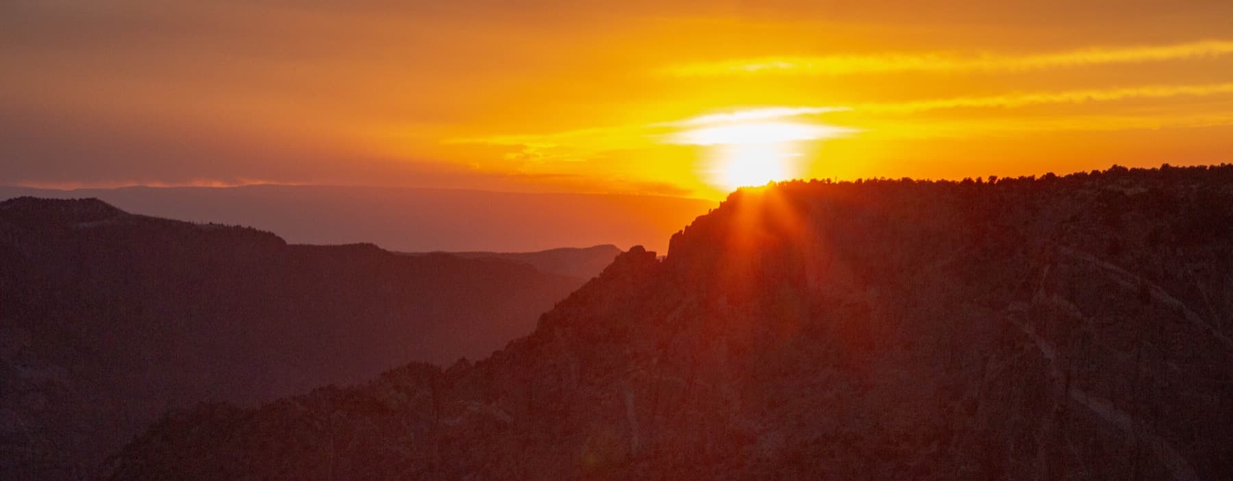
Top things to do
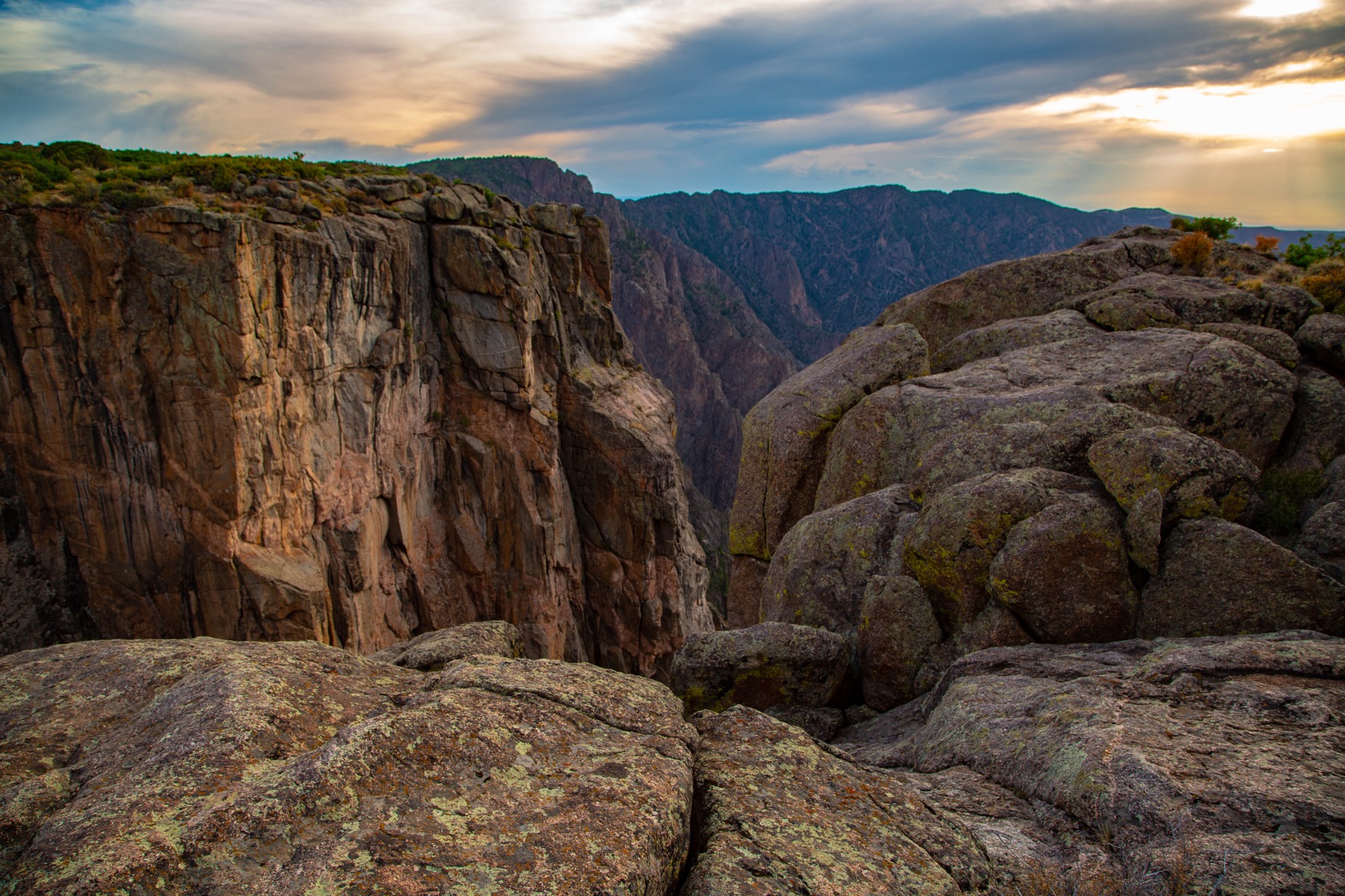
South Rim Road
A 7-mile drive linking a dozen overlooks; the easiest way to take in the canyon.
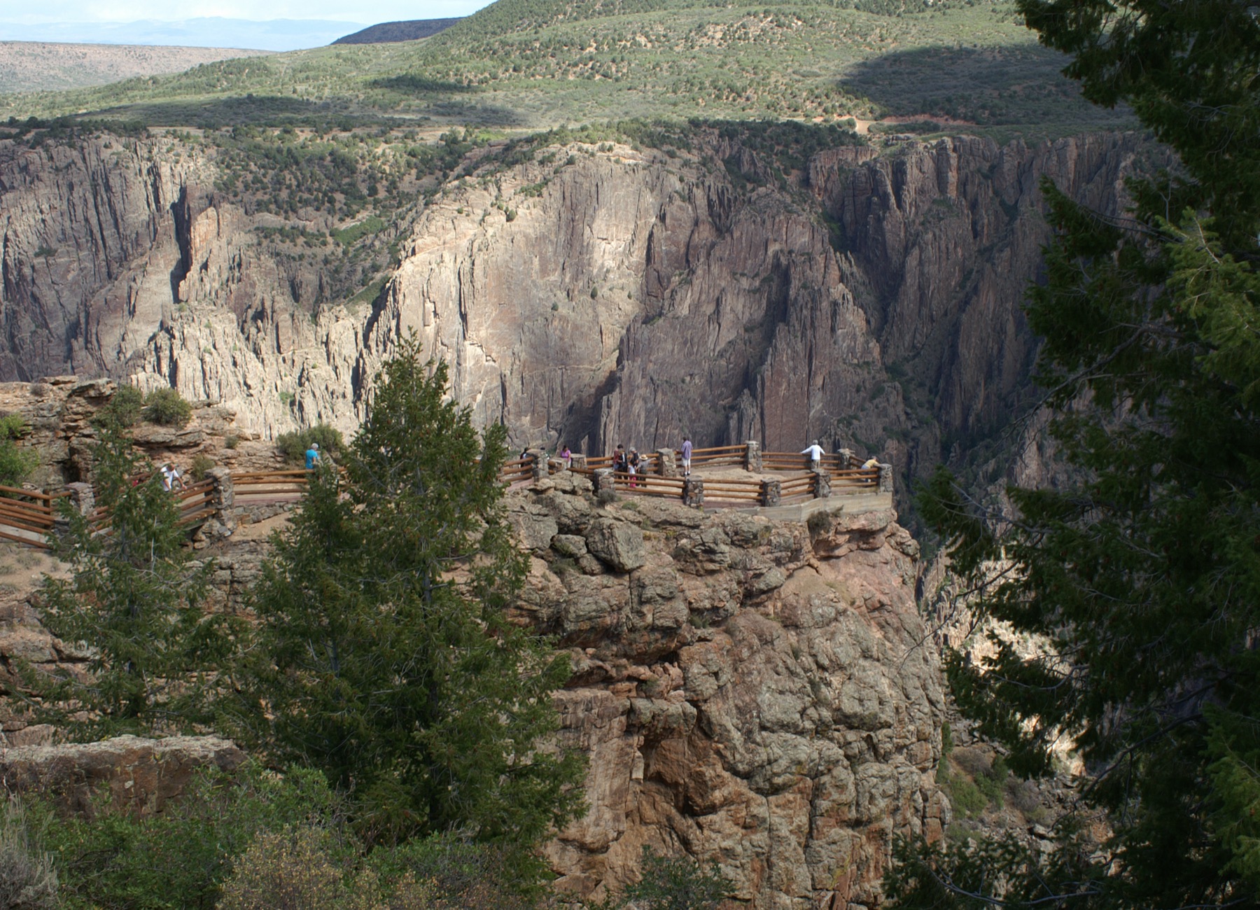
Gunnison Point
A short walk from the South Rim Visitor Center to a classic head-on view into the gorge.
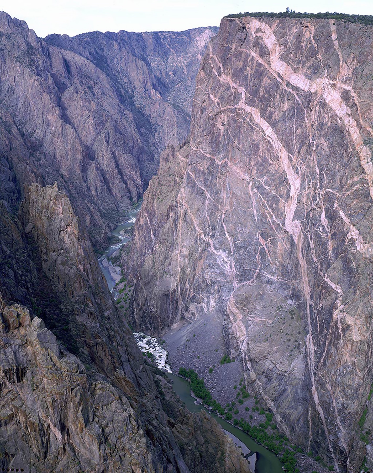
Painted Wall View
Look across at Colorado's tallest cliff, a 2,250-foot face streaked with pink pegmatite.
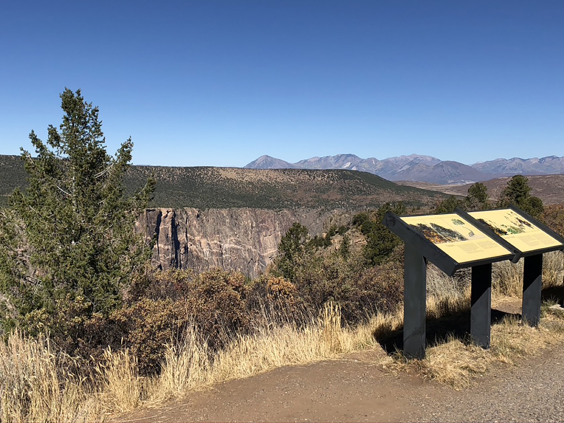
Warner Point Nature Trail
A 1.5-mile round-trip at the road's end with the widest, most open canyon panorama.
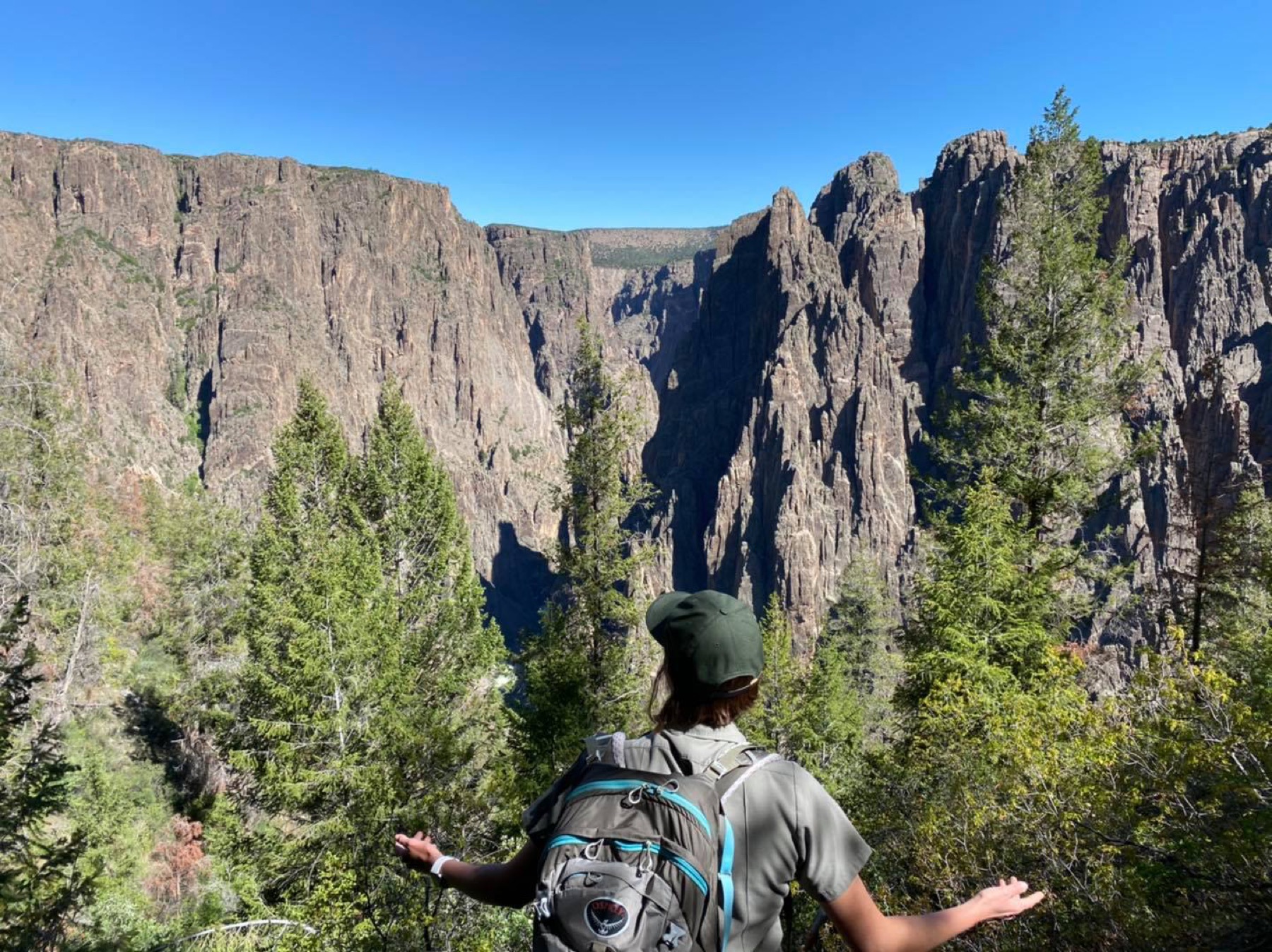
Inner Canyon routes
Steep, unmaintained scrambles like Gunnison Route drop to the river and require a wilderness permit.
Anchor the day around South Rim Road
Put the access rule first: shuttle, parking, timed-entry, or reservation windows should decide the order of the day. For one day in Black Canyon of the Gunnison, make South Rim Road the non-negotiable, add Gunnison Point only if the first stop runs clean, and keep Painted Wall View as the flexible finish.
- 1Start with South Rim Road: A 7-mile drive linking a dozen overlooks; the easiest way to take in the canyon.
- 2Add Gunnison Point: A short walk from the South Rim Visitor Center to a classic head-on view into the gorge.
- 3Use Painted Wall View as the optional finish, not as a reason to rush the whole day.
Where to stay
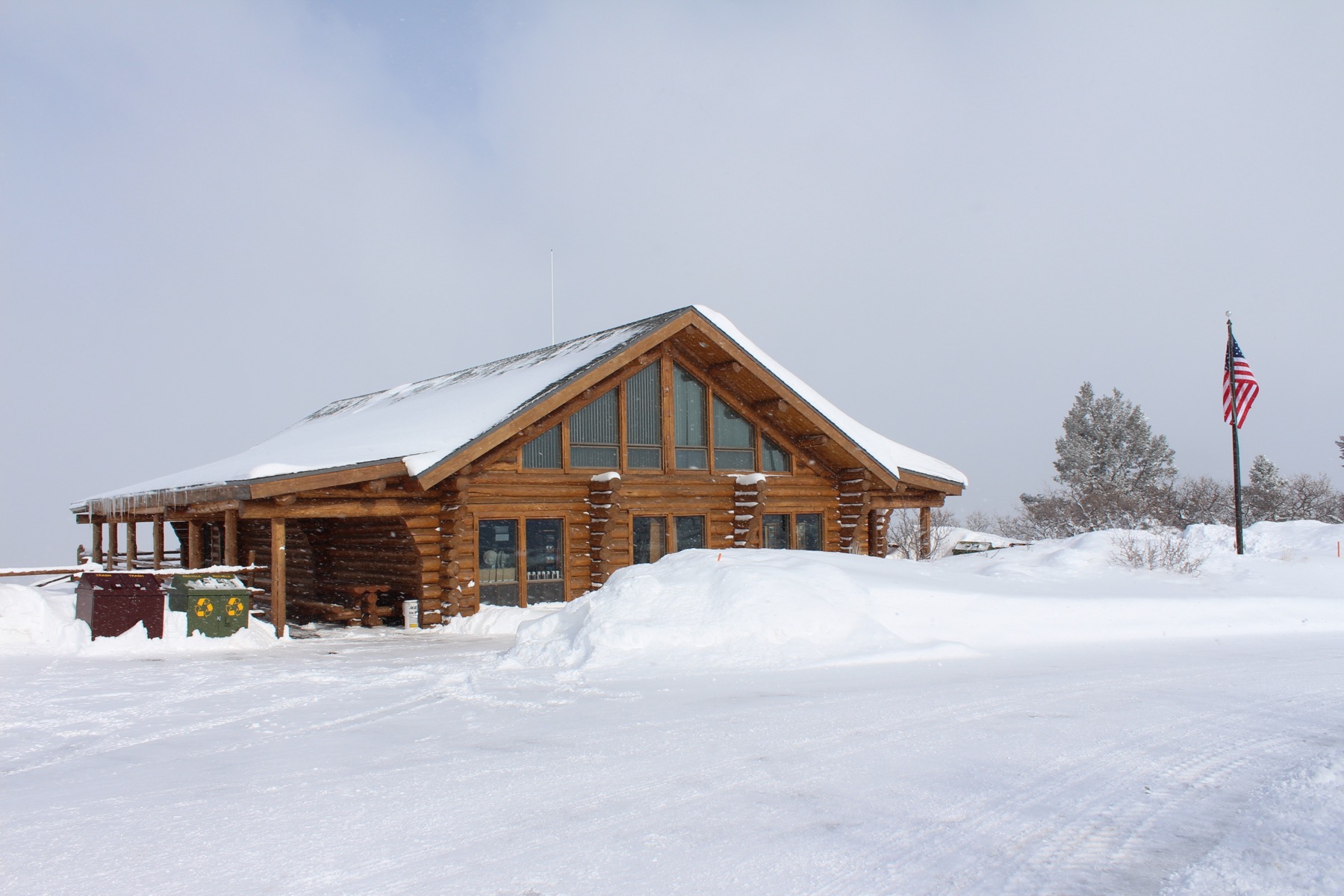
Stay strategy
Sleep where the first morning stays simple.
Stay strategy
Use Montrose for services, or camp on the rim for quiet starts.
Black Canyon is compact, but the rim choice matters. The South Rim is the default for first visits, the visitor center, South Rim Road, and the easiest camping. Montrose is the practical hotel base. The North Rim is a quieter, separate approach through Crawford, not a quick cross-park detour.
- Default side
- South Rim for first visits
- Nearest town
- Montrose, about 15 miles from the South Rim entrance
- Remote side
- North Rim via Crawford, with no road across the canyon
- River access
- Inner canyon routes need a wilderness permit
Compare base options
Compare each base by the first morning: where you park, what you ride, and how many decisions happen before the trail or viewpoint.
Paid links: we may earn a commission if you book, at no extra cost to you.
- Best for
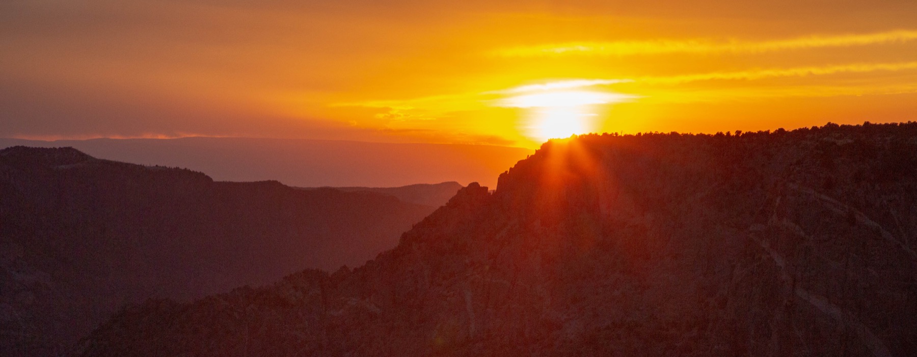
- Sunrise, stargazing, and quick access to South Rim Road overlooks
- Tradeoff
- No lodge, limited services, and winter access narrows.
Planning detail
Camp here when the trip is about overlooks, night sky, and short hikes instead of town amenities. It keeps the first and last light close.
- Best for
- Hotels, restaurants, groceries, and a low-friction South Rim day
- Tradeoff
- You drive in and out for sunrise, sunset, and stargazing.
Planning detail
Montrose is the easiest base for most visitors. It is close enough for a half-day canyon visit and practical for a weather-flexible weekend.
Quiet rim
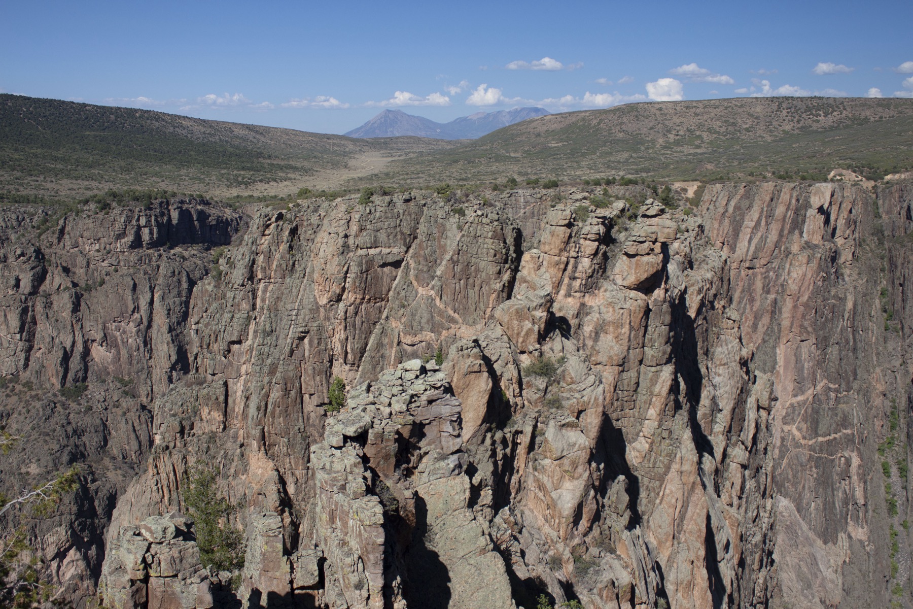
North Rim via Crawford
- Best for
- Repeat visitors, climbers, and solitude-first trips
- Tradeoff
- It is a separate, seasonal approach with fewer services.
Planning detail
Do not plan to hop between rims casually. Use the North Rim when its remoteness is the point and you have checked road status and campground availability.
- Best for
- Experienced scramblers who want the Gunnison River
- Tradeoff
- Loose rock, exposure, and route-finding turn it into an all-day effort.
Planning detail
Treat the inner canyon as a serious route, not a hike add-on. Get the permit, start early, and choose a rim day instead if storms or heat build.
Camping reservations
Camping reservations
Reserve a South Rim site early for 2026: fire recovery has cut the campground to 25 sites.
South Rim Campground is the first choice and is reservation-only on Recreation.gov, but the 2025 South Rim Fire left just 25 non-electric sites open for the May 18 to September 30, 2026 season. North Rim and East Portal stay first-come, first-served with payment only through the Recreation.gov app.
Reviewed June 11, 2026
Booking window
South Rim sites are reservable on Recreation.gov for camping between May 18 and September 30, 2026; North Rim and East Portal take no reservations at all.
- The 2025 South Rim Fire closed most of the campground: only 25 non-electric sites are open in 2026, electric Loop B included in the closures, and windblown ash and fire debris are possible.
- North Rim and East Portal are first-come only, and payment MUST go through Scan and Pay on the Recreation.gov mobile app; the park went cashless in April 2025.
- There is essentially no cell service at any campground, so download the Recreation.gov app and your confirmation before you enter the park.
- East Portal sits at the bottom of the canyon inside Curecanti National Recreation Area and is reached only through the park on East Portal Road, which closes to vehicles in winter; at North Rim, the combined RV, car, and trailer limit is 22 feet.
Where to book or verify
Official page with 2026 fire-recovery status, fees, and the Scan and Pay rules.
The only reservable campground in the park; also hosts Scan and Pay for the first-come campgrounds.
Check for federal campground, backcountry, tour, and permit inventory tied to this park.
Use this for wilderness permits, timed systems, tours, and other park-specific reservations.
Campgrounds to know
South Rim Campground
Details- Booking
- Reservable on Recreation.gov for May 18 to September 30, 2026.
- Season
- Limited 2026 season due to fire recovery; normally partially open year-round.
- Sites
- Normally 88 sites; 25 non-electric sites open in 2026, seasonal water, no showers or dump station.
- A mile from the South Rim Visitor Center at 8,400 feet, the only practical base for sunrise at the overlooks; book early while supply is cut.
North Rim Campground
Details- Booking
- No reservations; pay via Scan and Pay on the Recreation.gov app.
- Season
- Open seasonally; the last 5.6 miles of road are unpaved.
- Sites
- 13 sites in pinyon and juniper, 22-foot combined length limit, generators prohibited.
- The quiet side of the canyon with the steepest views and a fraction of the visitors; remote, with very limited services.
East Portal Campground
Details- Booking
- No reservations; pay via Scan and Pay on the Recreation.gov app.
- Season
- Closed in winter when East Portal Road closes.
- Sites
- 15 sites, 10 of them tent or walk-in, shaded by box elders on the Gunnison River.
- The only drive-to riverside camping, technically in Curecanti but accessed through the park; the road is open to pedestrians and cyclists when closed to vehicles.
Getting there and practical info
Plan the handoff from arrival to shuttle.
Parking, pedestrian entrances, and shuttle timing decide how calmly the first morning starts.
Getting there
Get to Black Canyon of the Gunnison, then remove the first-morning friction.
- Nearest airport
- Montrose Regional Airport (MTJ), about 15 miles and 30 minutes from the South Rim entrance. Grand Junction Regional (GJT) is roughly 1.5 hours away with more flight options.
- Access rhythm
- Plan the last mile
- Region
- Colorado
Car strategy
The popular South Rim sits about 15 miles east of Montrose, Colorado: take US-50 east, then CO-347 north to the entrance, roughly a 30-minute drive.
Fly in
Fly into Montrose Regional Airport (MTJ) for the shortest trip, or Grand Junction (GJT), about 1.5 hours northwest, for more flights.
Car strategy
The North Rim is reached by a separate, partly gravel route from Crawford and takes 1.5 to 2 hours from the South Rim; there is no road connecting the two rims inside the park.
Book ahead
- Rental cars at Montrose Regional Airport (MTJ)Paid link, Economybookings
- Guided tours in Black Canyon of the GunnisonPaid link, Viator
Paid links: we may earn a commission if you book, at no extra cost to you.
Pair this with lodging: sleep where the park transfer is simple, especially if your route needs an early start.
Plan your trip
Build one complete pack brief from Black Canyon of the Gunnison's season, activity, and trip length. Fine-tune an individual calculation only if you need it.
Fine-tune water, pack size, warmth, or stove fuel
Build around conditions
Let season, elevation, and weather set the plan.
Plan your trip
2 quick tools, already seeded for Black Canyon of the Gunnison. Tune the numbers around temperature swings, footing, layers, and how much margin the route needs.
What to pack
Start with the gear decisions Black Canyon of the Gunnison changes: water, footing, weather, and overnight needs. The checklist is there once your route and dates are set.
Kit Authority
Black Canyon of the Gunnison packing list
0 of 15 packed. Check items as you pack, then take this list to the store, trailhead, or campsite.
Pack planning
Decide what Black Canyon of the Gunnison asks of your kit before you start checking boxes.
Use this as a constraint check while you are still shaping the trip. The active checklist becomes useful once your route, dates, and sleep plan are set.
- First constraintHydration and exposureWater, hat, sunscreen, sunglasses, Navigationmap, downloaded GPS, or a GPS watch, 3 more
- Route realityFooting and tractionHiking boots, Hiking socks, Trekking poles
- Load choicePack and carry systemDaypack
- Season checkLayers for conditionsMoisture-wicking base layers, Rain jacket, Insulated jacket, 1 more
Checklist mode
15 items, grouped for the trip you are actually taking.
- Dates and season are set.
- Primary route, campground, or lodge is chosen.
- Water, footwear, and overnight needs are sized.
One researched pick
The first gear decision for Black Canyon of the Gunnison
Offline maps, photos, and long drives make a high-capacity power bank a practical trip backup.
We may earn a commission from links on this page, at no extra cost to you. Product prices and availability are accurate as of the date/time indicated and are subject to change. Any price and availability information displayed on Amazon at the time of purchase will apply to the purchase of this product.
THE POWER PICK
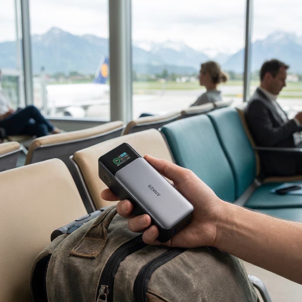
Anker 737 PowerCore 24K
Best Overall
Kit Score 8.8/10
$109.99 Price checked Oct 23, 4:16 PM CDT
Best for: Travelers who carry a USB-C laptop and want high output, a live power display, and substantial capacity below the common 100Wh threshold.
- Smart digital display shows exact battery percentage, input/output wattage in real time
- At 1.39 lb it is noticeably heavier than phone-only banks, not a featherlight day-trip option
- Capacity
- 24,000mAh (86.4Wh)
- Max Output
- 140W (USB-C PD 3.1)
- Ports
- 2× USB-C, 1× USB-A
- Weight
- 1.39 lb (630g)
- Dimensions
- 6.13 × 2.15 × 1.95 in
- Airline Status
- 86.4Wh; below the common 100Wh limit
About this pick
The Anker 737 combines a printed 86.4Wh rating, up to 140W USB-C PD 3.1 output, three ports, and a real-time smart display. Its capacity sits below the common 100Wh threshold, while airline count, storage, and onboard-use rules still apply.
Strengths
- Smart digital display shows exact battery percentage, input/output wattage in real time
- 140W PD 3.1 output is fast enough for most laptops at full speed
- Its printed 86.4Wh rating leaves 13.6Wh of headroom below the common 100Wh threshold
- Two USB-C ports and one USB-A port can serve three devices within the 140W total-output ceiling
Weaknesses
- At 1.39 lb it is noticeably heavier than phone-only banks, not a featherlight day-trip option
- No built-in cable, and the boxed cable varies by seller (Amazon listing: 140W USB-C to C; Anker support page: short USB-A to C)
Kit Score breakdown
Gear for Black Canyon of the Gunnison
The buying guides that match what Black Canyon of the Gunnison asks of your kit. Each one has our current top picks across budget and use case.
Can you photograph here? Permit and drone rules
Black Canyon shares a permit office with Curecanti, uses NPS Form 10-931 with a $100 fee, and its narrow gorge flips the usual golden-hour logic.
- Permit
- Usually fine for personal shoots; commercial or large productions can need a permit
- Drones
- Effectively banned: launching, landing, or operating a drone within park boundaries is prohibited
- Land
- Yes for personal and editorial photography throughout the park
From our photography sister site, Aperture Authority. Verified 2026-07-01.
Frequently asked questions
Do you need a reservation to visit Black Canyon of the Gunnison?
No. Unlike some larger parks, Black Canyon does not require timed-entry or vehicle reservations. You just need an entrance pass, which is $30 per private vehicle for 7 days. The park is cashless, so pay by card at the entrance or buy a digital pass on Recreation.gov ahead of time.
How much time do you need at Black Canyon of the Gunnison?
A half-day is enough to drive the 7-mile South Rim Road, stop at the main overlooks, and walk a couple of short rim trails. A full day lets you add longer rim hikes and linger for sunset and stargazing. Hiking down into the inner canyon to the river turns it into a strenuous all-day outing that requires a wilderness permit.
Can you hike to the bottom of the Black Canyon?
Yes, but it is for experienced, fit hikers only. The inner-canyon routes, such as the Gunnison Route, are steep, unmaintained, and involve loose rock and hand-over-hand scrambling, dropping roughly 1,800 feet in about a mile. You need a free wilderness use permit from the park, and most people allow a full day for the round trip.
When is the best time to visit Black Canyon of the Gunnison?
Late spring through early fall is ideal, with summer being the busiest and warmest when all roads and the visitor center are open. September and October bring crisp weather and fall color, though September stays nearly as busy as summer. In winter the South Rim Road closes past the visitor center, so access is limited to snowshoeing and the area near the entrance.
Keep planning
Nearby parks
 Mesa VerdeOver 5,000 ancestral Puebloan sites, including cliff dwellings you can climb into on a ranger-led tour.
 Great Sand DunesClimb the tallest dunes in North America, then cool off in a creek that ripples across the sand each spring.
 Rocky MountainA high-altitude Colorado classic where you drive above 12,000 feet, then hike alpine lakes under the Continental Divide.