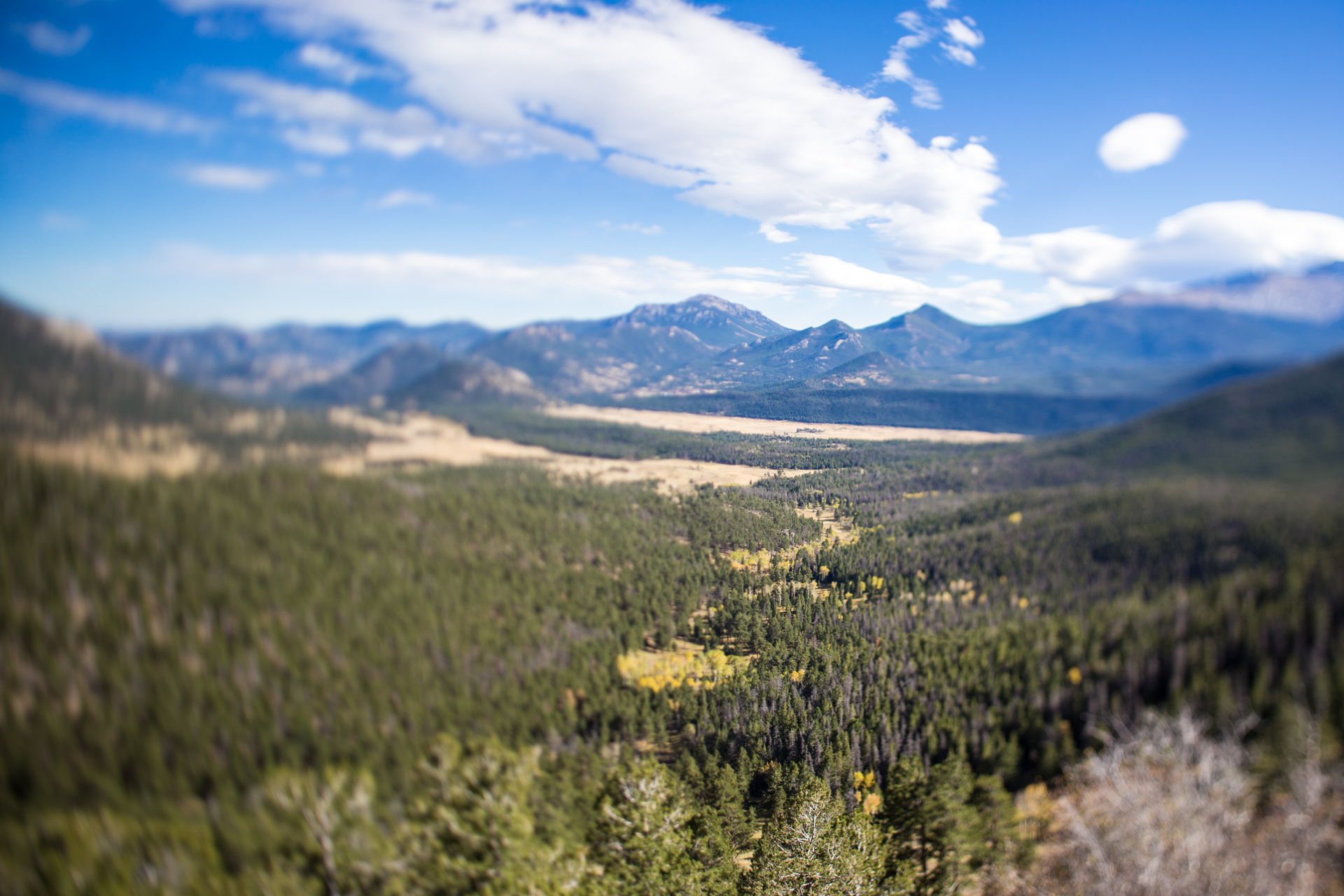
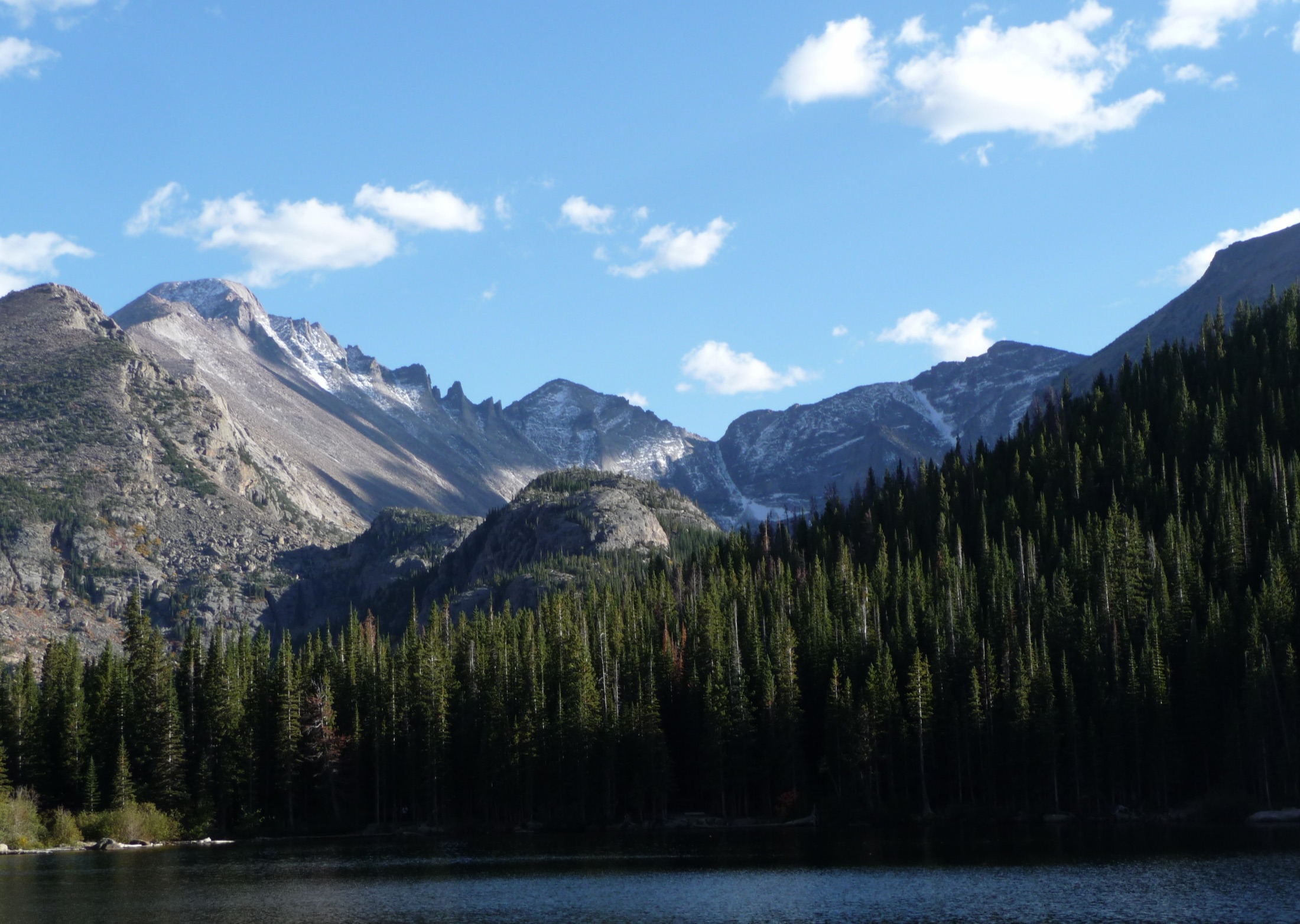
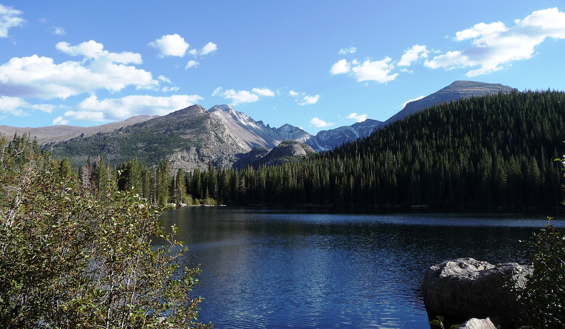
Skip to content
KITAUTHORITY
Glacier Gorge and rugged peaks rising above the still waters of Bear Lake, framed by pine forest, in Rocky Mountain National Park, Colorado

National Park · Colorado

Rocky Mountain

A high-altitude Colorado classic where you drive above 12,000 feet, then hike alpine lakes under the Continental Divide.

Daniel Mayer / Wikimedia Commons (CC BY-SA 3.0)
Bear Lake reflecting the Glacier Gorge ridgeline in Rocky Mountain National Park

Field briefing

Rocky Mountain changes fast with season and elevation.

Before you go

Rocky Mountain National Park is a high-altitude park where the headline drive, Trail Ridge Road, and the best alpine-lake hikes all sit between roughly 8,000 and 12,000 feet, so the season makes or breaks your trip.

Aim for July through September when Trail Ridge Road is open and trails are mostly clear; go in late September for golden aspen and bugling elk with thinner crowds. Build in time to acclimate to the elevation, start hikes early to beat the near-daily summer thunderstorms, and pack a rain shell and warm layers even in summer because the tundra runs cold. From late May to mid-October you also need a timed-entry reservation through Recreation.gov on top of your entrance pass, so book ahead.

Best window
July through September
Signature routes
Trail Ridge Road, Bear Lake
Pack focus
Water, weather checks, layers

The landmarks worth the trip. Tap any photo to enlarge.

Location
Colorado
Established
1915
Size
266k acres
Visitors
4.2M / year
Best time
July through September
Entrance
$30 per vehicle for 1 day, $35 per vehicle for 7 days, $70 park annual pass. Late May to mid-October a timed-entry reservation (separate $2 Recreation.gov fee) is also required to enter during peak hours.
Nearest airport
DEN (Denver International), about 2 hours to the Estes Park entrance

When to go

Conditions, crowds, and what each season asks you to pack.

Spring

40-60F

Low crowds

Highs 40-60F at lower elevations, deep snow lingering up high and on Trail Ridge Road into May or June.

Pack Waterproof boots and microspikes: trails stay snowy and muddy well into May.

Summer

70-80F

Peak crowds

Highs 70-80F in Estes Park, 50-60F on the tundra, with near-daily afternoon thunderstorms.

Pack Rain shell and an early start to beat the afternoon lightning above treeline.

Fall

50-70F

High crowds

Highs 50-70F, crisp clear days, golden aspen peaking in mid to late September with bugling elk.

Pack Layers for cold mornings and a zoom or binoculars for the elk rut.

Winter

20-40F

Low crowds

Highs 20-40F, heavy snow up high, Trail Ridge Road closed at its upper section.

Pack Insulated layers plus snowshoes or microspikes for the lower-elevation trails that stay open.

Autumn tundra and distant Longs Peak along Trail Ridge Road

Top things to do

Trail Ridge Road crossing alpine tundra above 12,000 feet

Trail Ridge Road

48 mi drive

48 miles of paved highway cresting above 12,000 feet, the highest continuous paved road in the U.S.; open late May to October.

Bear Lake with high country peaks behind it

Bear Lake

0.5 mi loopEasy

An easy half-mile loop around a subalpine lake; the trailhead anchors the park's most popular hiking corridor.

Emerald Lake at the head of a glacial basin

Emerald Lake

3.6 mi round tripModerate

A 3.6-mile round-trip past Nymph and Dream lakes to a glacial basin under Hallett Peak; the park's signature day hike.

Longs Peak rising above the subalpine lake corridor

Longs Peak

15 mi round tripStrenuous

The park's only 14er at 14,259 feet; a strenuous 15-mile round trip on the Keyhole Route for fit, experienced hikers.

Alberta Falls cascading through granite boulders

Alberta Falls

1.6 mi round tripEasy

A 1.6-mile round-trip to a tumbling waterfall; a quick, family-friendly payoff off Bear Lake Road.

How long to spend

Anchor the day around Trail Ridge Road

Put the access rule first: shuttle, parking, timed-entry, or reservation windows should decide the order of the day. For one day in Rocky Mountain, make Trail Ridge Road the non-negotiable, add Bear Lake only if the first stop runs clean, and keep Emerald Lake as the flexible finish.

  1. 1Start with Trail Ridge Road: 48 miles of paved highway cresting above 12,000 feet, the highest continuous paved road in the U.S.; open late May to October.
  2. 2Add Bear Lake: An easy half-mile loop around a subalpine lake; the trailhead anchors the park's most popular hiking corridor.
  3. 3Use Emerald Lake as the optional finish, not as a reason to rush the whole day.

Plan your trip

Turn Rocky Mountain's conditions into water, pack, and sleep-system decisions.

Emerald Lake tucked below steep alpine walls

Build around conditions

Let season, elevation, and weather set the plan.

Plan your trip

4 quick tools, already seeded for Rocky Mountain. Tune the numbers around temperature swings, footing, layers, and how much margin the route needs.

  1. 01Size your water for a warm day on the trail
  2. 02Dial in your pack base weight before you load up
  3. 03Find the pack size a multi-day trip here needs
  4. 04Check you will sleep warm down to about 20F

What to pack

Start with the gear decisions Rocky Mountain changes: water, footing, weather, and overnight needs. The checklist is there once your route and dates are set.

Pack planning

Decide what Rocky Mountain asks of your kit before you start checking boxes.

Use this as a constraint check while you are still shaping the trip. The active checklist becomes useful once your route, dates, and sleep plan are set.

  • First constraintHydration and exposureWater, hat, sunscreen, sunglasses, Navigationmap, downloaded GPS, or a GPS watch, 3 more
  • Route realityFooting and tractionHiking boots, Hiking socks, Trekking poles
  • Load choicePack and carry systemBackpacking pack
  • If overnightSleep and shelterBackpacking tent, Sleeping bag, Sleeping pad, 1 more

Checklist mode

22 items, grouped for the trip you are actually taking.

  1. Dates and season are set.
  2. Primary route, campground, or lodge is chosen.
  3. Water, footwear, and overnight needs are sized.

Gear for Rocky Mountain

The buying guides that match what Rocky Mountain asks of your kit. Each one has our current top picks across budget and use case.

Where to stay

Trail Ridge Road climbing through open alpine tundra

Stay strategy

Sleep where the first morning stays simple.

Stay strategy

Choose Estes Park for Bear Lake, Grand Lake for the quieter west side.

Rocky Mountain has no hotel lodging inside the park, so the base choice is really an east side versus west side decision. Estes Park is the efficient play for first visits, timed-entry mornings, and Bear Lake hikes. Grand Lake works when you want Kawuneeche Valley, a quieter town, or a Trail Ridge Road crossing built into the trip.

Default base
Estes Park, east side
Quiet base
Grand Lake, west side
Inside lodging
No hotels, campgrounds only
Key friction
Timed entry and Bear Lake parking

Compare base options

Compare each base by the first morning: where you park, what you ride, and how many decisions happen before the trail or viewpoint.

Trail Ridge Road crossing open tundra above treeline

Most first trips

Estes Park

Best for
Bear Lake Road, Emerald Lake, Alberta Falls, shuttles, rentals, and the broadest dining
Tradeoff
It is the busiest and priciest gateway in peak summer.
Planning detail

Base here when your trip depends on early starts in the Bear Lake corridor or short drives to Beaver Meadows. Pair lodging with timed-entry planning, then use shuttles when parking pressure is high.

Bear Lake below forested slopes and high granite peaks

Quieter west side

Grand Lake

Best for
Kawuneeche Valley, moose viewing, a slower town feel, and linking both sides over Trail Ridge Road
Tradeoff
It is farther from Bear Lake and Estes Park trailheads.
Planning detail

Grand Lake is the better base when the west side is the point, or when you want to cross Trail Ridge Road once and keep the trip from orbiting a single crowded corridor.

Emerald Lake tucked below steep alpine walls

Inside the park

Moraine Park, Glacier Basin, Aspenglen, or Timber Creek

Best for
Campers who want dawn access without a hotel commute
Tradeoff
Summer sites fill fast and do not solve timed-entry needs by themselves.
Planning detail

Moraine Park, Glacier Basin, and Aspenglen put you on the east side. Timber Creek is the west-side option. Backcountry camping is a separate wilderness permit decision.

First night

Sleep lower and take the first day easy if you are coming from sea level.

Road check

Trail Ridge Road is seasonal, so never make the west side depend on it without checking status.

Camping reservations

Camping reservations

Camping reservations for Rocky Mountain

Campground systems change by season and sometimes by individual campground. Start with the official park camping page, then confirm open dates, reservation windows, and permit rules before booking.

Reviewed June 6, 2026

Booking window

Check the official park camping page before choosing dates.

  • Use the official park page as the source of truth for campground status, seasonal closures, and first-come rules.
  • Many federal campsite, backcountry, tour, and permit reservations are handled through Recreation.gov, but not every park uses the same system.

Where to book or verify

Official NPS camping page

Use this first for current campground status and park-specific rules.

Search Recreation.gov

Check for federal campground, backcountry, tour, and permit inventory tied to this park.

Permits and reservations

Use this for wilderness permits, timed systems, tours, and other park-specific reservations.

Getting there and practical info

Autumn tundra and distant Longs Peak along Trail Ridge Road

Plan the handoff from arrival to shuttle.

Parking, pedestrian entrances, and shuttle timing decide how calmly the first morning starts.

Getting there

Get to Rocky Mountain, then remove the first-morning friction.

Nearest airport
DEN (Denver International), about 2 hours to the Estes Park entrance
Access rhythm
Park once, ride in
Region
Colorado
  1. Fly in

    Most visitors fly into Denver International Airport (DEN) and drive about 2 hours northwest to the Estes Park gateway on the park's east side via US-36.

  2. Car strategy

    The west-side Grand Lake entrance is roughly 2 to 2.5 hours from Denver via US-40.

  3. Car strategy

    Trail Ridge Road, which connects the two sides, typically opens around Memorial Day and closes by late October depending on snow; check the recorded status line at (970) 586-1222 before counting on the crossing.

Pair this with lodging: sleep where the park transfer is simple, especially if your route needs an early start.

LocationColorado

Frequently asked questions

Do I need a reservation to visit Rocky Mountain National Park?

Yes, during the busy season. From late May through mid-October the park uses a timed-entry permit system, so you reserve an arrival window in advance through Recreation.gov. The Bear Lake Road corridor requires its own permit. The timed-entry reservation costs a $2 processing fee and is separate from your entrance pass, which is still required.

How much does it cost to enter Rocky Mountain National Park?

A 1-day vehicle pass is $30 and a 7-day vehicle pass is $35. A park-specific annual pass is $70, and the America the Beautiful interagency pass is also accepted. Entrance stations take credit or debit cards only, not cash.

When is Trail Ridge Road open?

Trail Ridge Road, the high alpine highway across the park, typically opens around Memorial Day weekend and closes in late October, with the exact dates driven by snow. Its upper section is closed all winter. Call the recorded status line at (970) 586-1222 for current conditions before you go.

What is the best time to visit Rocky Mountain National Park?

July through September is the prime window: Trail Ridge Road is open, alpine trails are mostly snow-free, and wildflowers peak. Late September brings golden aspen and the elk rut with somewhat thinner crowds. Expect near-daily afternoon thunderstorms in summer, so start hikes early.

Do I need to worry about altitude at Rocky Mountain National Park?

Yes. The park ranges from about 7,500 feet at the entrances to over 14,000 feet at Longs Peak, and Trail Ridge Road tops 12,000 feet. Many visitors feel the thin air as shortness of breath or headaches, so take it slow your first day, drink plenty of water, and give yourself time to acclimate before strenuous hikes.

Keep planning