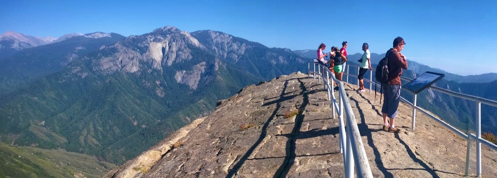
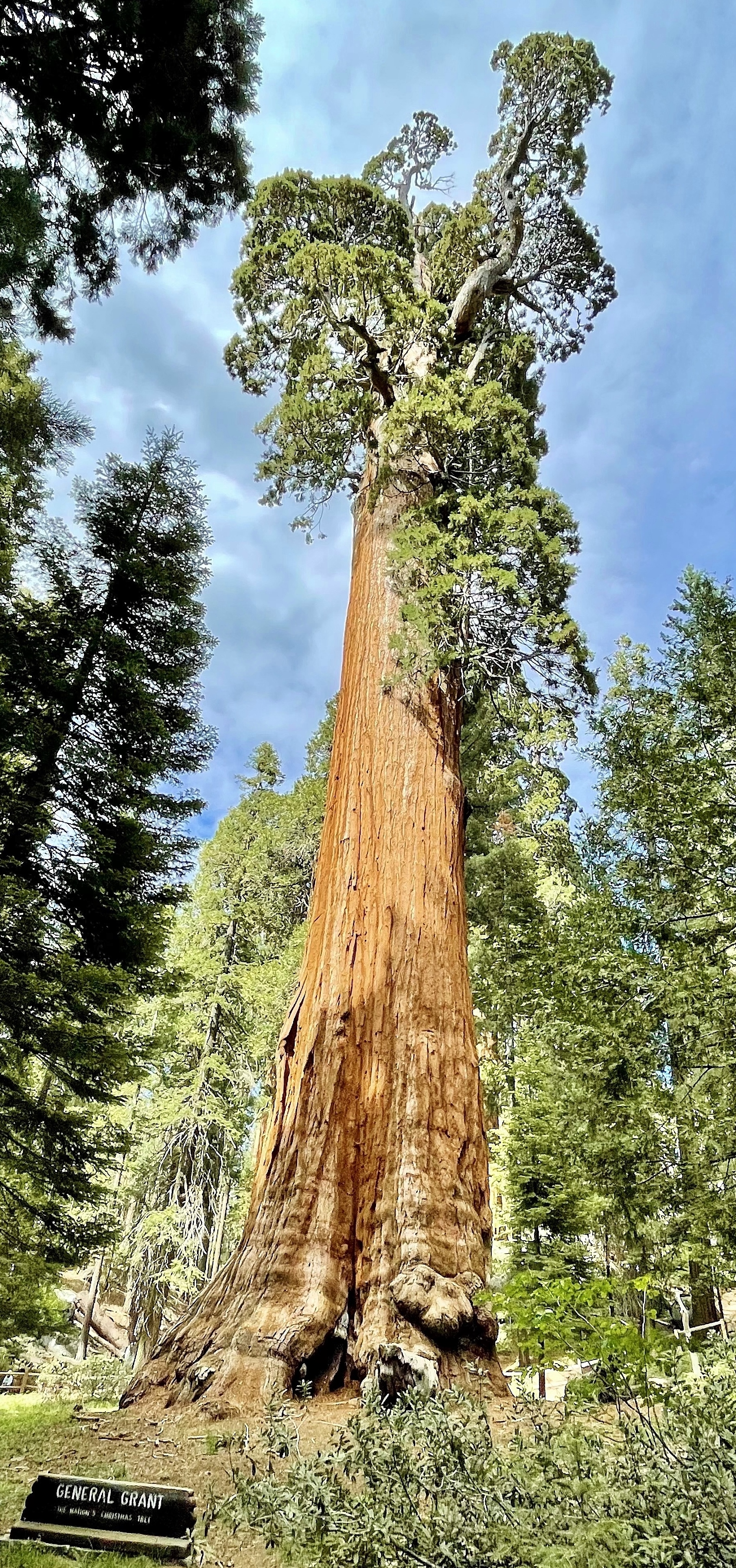
Skip to content
KITAUTHORITY
A wide landscape view of Kings Canyon National Park from the Don Cecil Trail, looking out over forested ridges and the steep granite canyon walls of the Sierra Nevada under a clear sky.

National Park · California

Kings Canyon

A glacier-carved canyon deeper than the Grand Canyon, giant sequoias, and a roadless High Sierra backcountry.

Martin Stiburek (Wikimedia Commons user Pimlico27) (CC BY-SA 4.0)
Kings Canyon seen from the Scenic Byway above the canyon floor

Field briefing

Kings Canyon changes fast with season and elevation.

Before you go

Kings Canyon pairs the giant sequoias and easy strolls of Grant Grove (open year-round) with a wild, glacier-carved canyon at Cedar Grove that you can only reach when the Scenic Byway is open, roughly late spring through fall.

Plan your big canyon hikes and the drive itself for summer; that is also when the High Sierra backcountry beyond the road becomes accessible. Bring sun protection and lots of water for hot canyon trails, plus warm layers for cool nights at elevation. In winter, focus on snowshoeing and the sequoias around Grant Grove, and carry tire chains.

Best window
July through August, when the Cedar Grove road is open and high trails are clear of snow
Signature routes
General Grant Tree, Kings Canyon Scenic Byway
Pack focus
Water, weather checks, layers

The landmarks worth the trip. Tap any photo to enlarge.

Location
California
Established
March 4, 1940
Size
462k acres
Visitors
699k / year
Best time
July through August, when the Cedar Grove road is open and high trails are clear of snow
Entrance
$35 per private vehicle, valid 7 days and covers both Kings Canyon and Sequoia
Nearest airport
Fresno Yosemite International (FAT), about 1.5 hours to Grant Grove

When to go

Conditions, crowds, and what each season asks you to pack.

Spring

45-60F

Low crowds

Grant Grove highs 45-60F with lingering snow; the Cedar Grove road usually opens by late April or May

Pack Waterproof boots and layers for muddy, snowmelt-soaked trails.

Summer

High crowds

Warm and dry, with canyon-floor highs in the 80s-90s F and cool 60s-70s F up at Grant Grove

Pack Sun protection, plenty of water, and lighter layers for hot canyon hikes.

Fall

55-70F

Moderate crowds

Crisp and quiet, highs 55-70F, with the Cedar Grove road typically closing by mid-November

Pack Warm layers for cold mornings and a headlamp for shorter daylight.

Winter

35-45F

Low crowds

Snowy at Grant Grove with highs 35-45F; Cedar Grove and the canyon road are closed

Pack Traction (snowshoes or microspikes), insulation, and tire chains for the drive.

Morning light over the Kings Canyon Scenic Byway and canyon walls

Top things to do

Visitors at the base of the General Grant Tree

General Grant Tree

Easy

The second-largest tree on Earth and the Nation's Christmas Tree, on a short paved loop in Grant Grove.

The Kings Canyon Scenic Byway overlooking the canyon

Kings Canyon Scenic Byway

A jaw-dropping drive down into the canyon, open roughly late spring through fall.

Zumwalt Meadow beneath steep canyon walls

Zumwalt Meadow

Easy

An easy loop along the river with granite walls towering overhead in Cedar Grove.

Mist Falls flowing through polished granite

Mist Falls

About 8 mi round trip

A roughly 8-mile round-trip hike to one of the park's biggest, loudest waterfalls.

Roaring River Falls pouring into a shaded pool

Roaring River Falls

0.3 mi paved walkEasy

A 0.3-mile paved walk to a powerful chute of water near Cedar Grove.

How long to spend

Anchor the day around General Grant Tree

Put permit timing ahead of ambition, then build the route around what is actually approved. For one day in Kings Canyon, make General Grant Tree the non-negotiable, add Kings Canyon Scenic Byway only if the first stop runs clean, and keep Zumwalt Meadow as the flexible finish.

  1. 1Start with General Grant Tree: The second-largest tree on Earth and the Nation's Christmas Tree, on a short paved loop in Grant Grove.
  2. 2Add Kings Canyon Scenic Byway: A jaw-dropping drive down into the canyon, open roughly late spring through fall.
  3. 3Use Zumwalt Meadow as the optional finish, not as a reason to rush the whole day.

Plan your trip

Turn Kings Canyon's conditions into water, pack, and sleep-system decisions.

Zumwalt Meadow and the South Fork Kings River below granite walls

Build around conditions

Let season, elevation, and weather set the plan.

Plan your trip

4 quick tools, already seeded for Kings Canyon. Tune the numbers around temperature swings, footing, layers, and how much margin the route needs.

  1. 01Size your water for a mild day on the trail
  2. 02Dial in your pack base weight before you load up
  3. 03Find the pack size a multi-day trip here needs
  4. 04Check you will sleep warm down to about 35F

What to pack

Start with the gear decisions Kings Canyon changes: water, footing, weather, and overnight needs. The checklist is there once your route and dates are set.

Pack planning

Decide what Kings Canyon asks of your kit before you start checking boxes.

Use this as a constraint check while you are still shaping the trip. The active checklist becomes useful once your route, dates, and sleep plan are set.

  • First constraintHydration and exposureWater, Electrolyte mix, hat, sunscreen, sunglasses, 4 more
  • Route realityFooting and tractionHiking boots, Hiking socks, Trekking poles
  • Load choicePack and carry systemBackpacking pack
  • If overnightSleep and shelterBackpacking tent, Sleeping bag, Sleeping pad, 1 more

Checklist mode

21 items, grouped for the trip you are actually taking.

  1. Dates and season are set.
  2. Primary route, campground, or lodge is chosen.
  3. Water, footwear, and overnight needs are sized.

Gear for Kings Canyon

The buying guides that match what Kings Canyon asks of your kit. Each one has our current top picks across budget and use case.

Where to stay

The road into Kings Canyon from the Scenic Byway

Stay strategy

Choose the base that protects the permit window.

Stay strategy

Use Grant Grove year-round, Cedar Grove only when the canyon road is open.

Kings Canyon has two different trip shapes. Grant Grove is the year-round sequoia base near Highway 180. Cedar Grove is the seasonal canyon-floor base for Zumwalt Meadow, Mist Falls, Roaring River Falls, and the deepest-canyon experience. Do not book one and assume it behaves like the other.

Year-round area
Grant Grove
Seasonal canyon
Cedar Grove, road usually late spring to fall
Shared pass
Covers Sequoia and Kings Canyon
Nearest airport
Fresno, about 1.5 hours to Grant Grove

Compare base options

Use the options below to protect the permit, pickup, and early-start parts of the trip before you optimize for comfort.

The General Grant Tree rising from Grant Grove

Sequoia base

Grant Grove

Best for
General Grant Tree, winter access, quick sequoia walks, and linking to Sequoia
Tradeoff
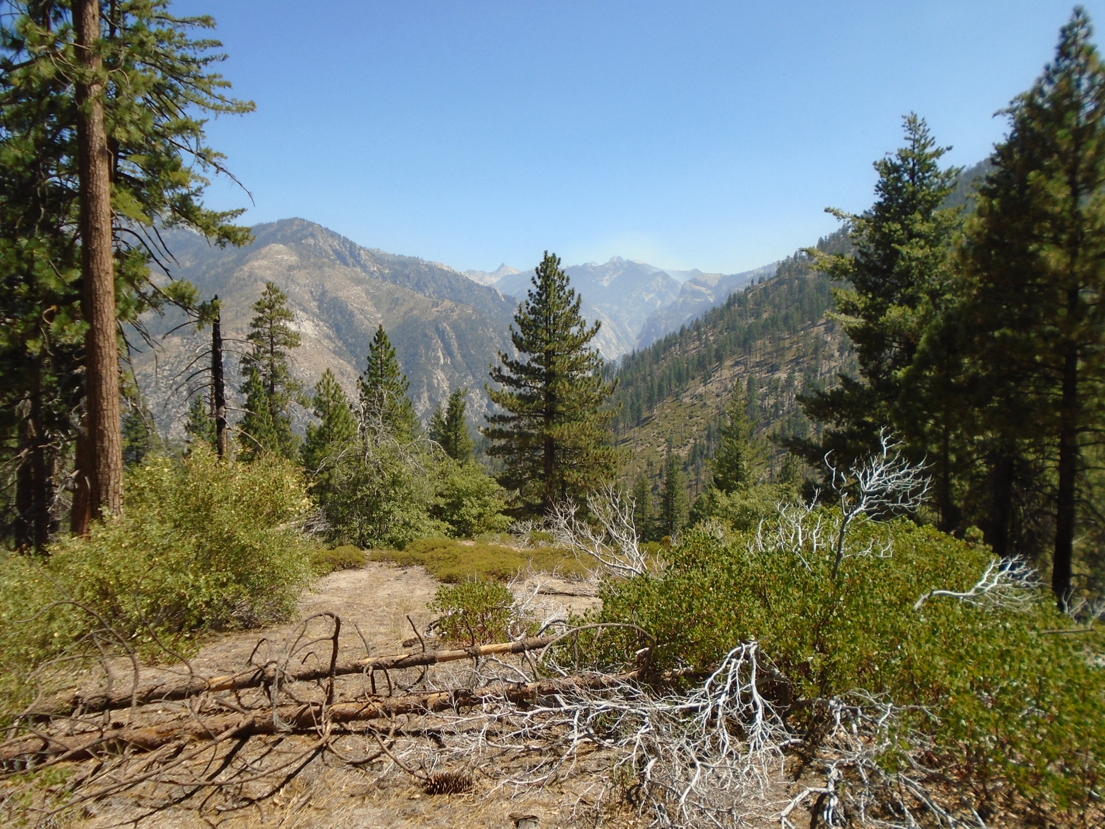
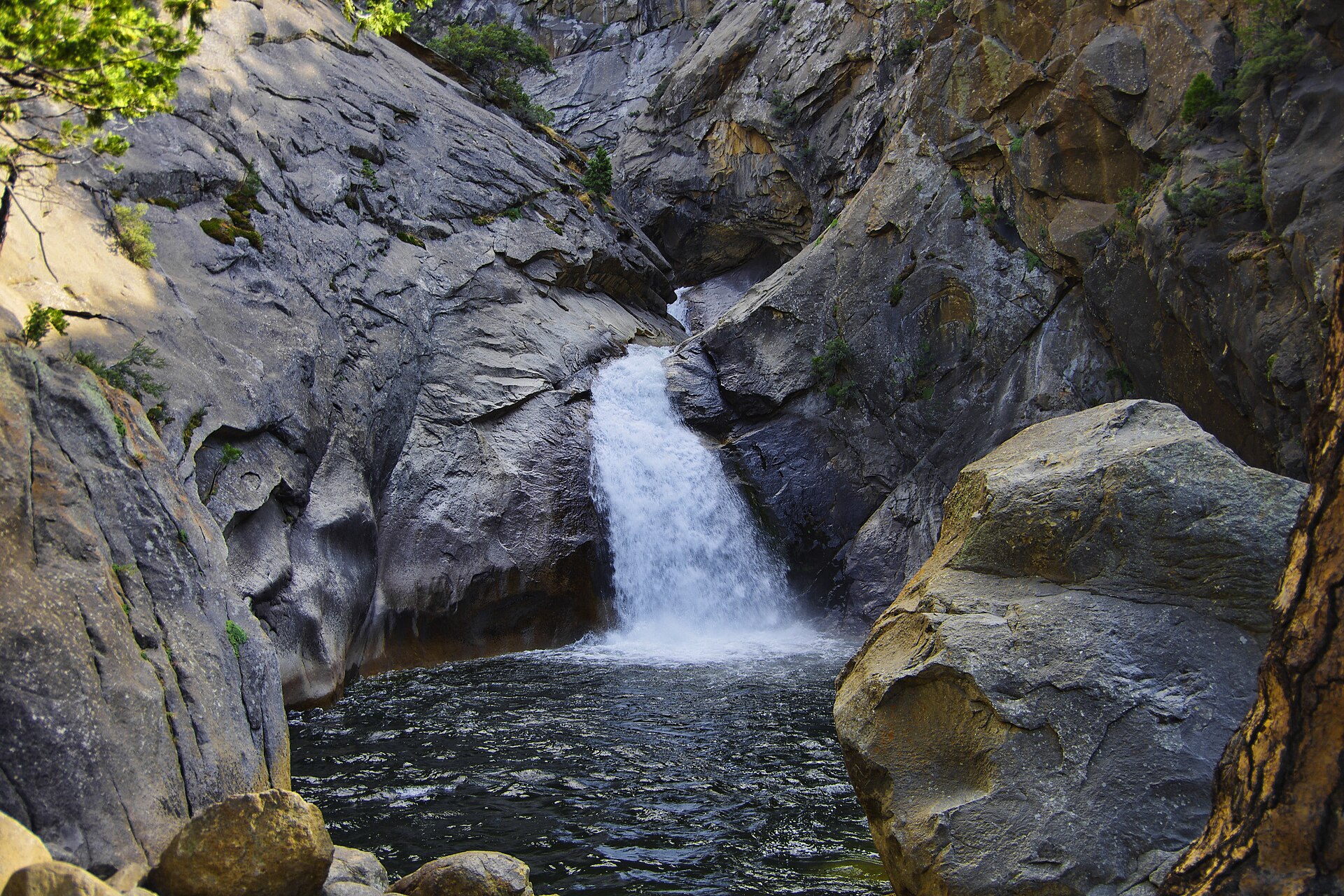
It is not the canyon-floor experience.
Planning detail

Choose Grant Grove when the sequoias are the focus, when snow is possible, or when you need a base that does not depend on the Cedar Grove road.

A sweeping view into Kings Canyon from the scenic road

Canyon base

Cedar Grove

Best for
Zumwalt Meadow, Mist Falls, Roaring River Falls, and High Sierra trailheads
Tradeoff
Seasonal access, fewer services, and a long winding drive.
Planning detail

This is the right base when Kings Canyon itself is the point. Confirm the Scenic Byway is open before you commit lodging or a day plan to Cedar Grove.

Zumwalt Meadow and the South Fork Kings River below granite walls

Outside buffer

Highway 180 gateways, Hume Lake, or Fresno side

Best for
Overflow lodging, lower rates, and arrival or departure nights
Tradeoff
More driving before trail time.
Planning detail

Use outside bases when park lodging is full or when the trip is a broader Sequoia, Kings Canyon, and national forest loop.

Winter

Plan winter trips around Grant Grove and carry tire chains.

Canyon day

If Cedar Grove is open, give it a full day rather than treating it as a quick side road.

Camping reservations

Camping reservations

Camping reservations for Kings Canyon

Campground systems change by season and sometimes by individual campground. Start with the official park camping page, then confirm open dates, reservation windows, and permit rules before booking.

Reviewed June 6, 2026

Booking window

Check the official park camping page before choosing dates.

  • Use the official park page as the source of truth for campground status, seasonal closures, and first-come rules.
  • Many federal campsite, backcountry, tour, and permit reservations are handled through Recreation.gov, but not every park uses the same system.

Where to book or verify

Official NPS camping page

Use this first for current campground status and park-specific rules.

Search Recreation.gov

Check for federal campground, backcountry, tour, and permit inventory tied to this park.

Permits and reservations

Use this for wilderness permits, timed systems, tours, and other park-specific reservations.

Getting there and practical info

Morning light over the Kings Canyon Scenic Byway and canyon walls

Plan the last mile as carefully as the destination.

Airports, roads, entrances, and local movement belong in the same plan.

Getting there

Get to Kings Canyon, then move through the park without wasting the day.

Nearest airport
Fresno Yosemite International (FAT), about 1.5 hours to Grant Grove
Access rhythm
Plan the last mile
Region
California
  1. Fly in

    Most visitors fly into Fresno Yosemite International Airport (FAT) and drive east on Highway 180, reaching the Big Stump entrance and Grant Grove in about 1.5 hours.

  2. Access note

    To see the canyon itself, continue on the Kings Canyon Scenic Byway another 30-plus miles down to Cedar Grove, a slow, winding descent that is only open roughly late April or May through mid-November.

  3. Car strategy

    The park shares an entrance and fee with neighboring Sequoia National Park, and the two connect via the Generals Highway.

Pair this with lodging: the simplest base is the one that removes a real morning problem, not just the one nearest the map pin.

LocationCalifornia

Frequently asked questions

Is Kings Canyon open in winter?

Partly. The Grant Grove area, with its giant sequoias and the General Grant Tree, stays open all year and is great for snowshoeing. The Kings Canyon Scenic Byway down to Cedar Grove and the canyon floor closes for winter, typically from around mid-November until late spring. Carry tire chains, since they are often required on park roads after snow.

How much does it cost to enter Kings Canyon?

Entry is $35 per private vehicle, and the pass is good for seven days. The same fee covers both Kings Canyon and neighboring Sequoia National Park, since they are managed together. There is no timed-entry reservation system, so you can simply drive up and pay at the entrance.

Is Kings Canyon really deeper than the Grand Canyon?

Yes, by some measures. Measured from the highest peaks down to the river, the Kings Canyon area reaches depths over 8,000 feet, making it one of the deepest canyons in North America. It is a steep, glacier-carved gorge rather than the wide, layered look of the Grand Canyon, so it feels very different in person.

How far is Kings Canyon from Sequoia National Park?

They are right next to each other and managed as one unit. The Generals Highway connects Grant Grove in Kings Canyon to the Giant Forest in Sequoia in under an hour of driving. Many visitors see both parks on a single trip using one shared entrance fee.

Keep planning