Destinations
California outdoors
From 13,000-foot Sierra peaks to below-sea-level desert, California packs more outdoor range into one state than just about anywhere.
Top parks in California
See all 266 parks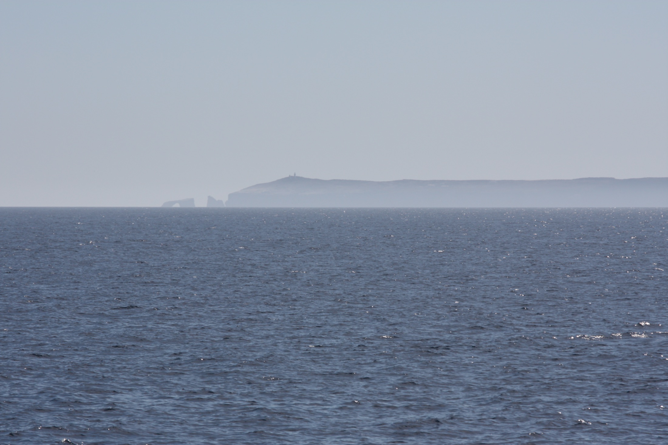
Channel Islands
Five wild islands an hour off the California coast: kayak sea caves, hike empty bluffs, and camp under dark skies, no crowds.
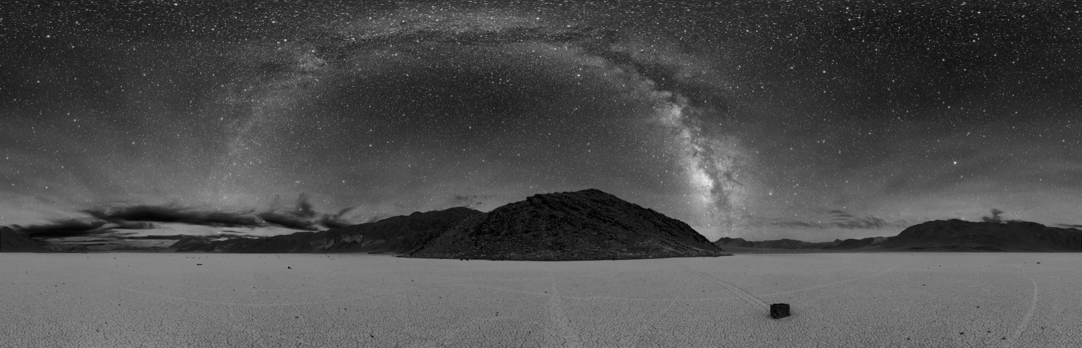
Death Valley
The hottest, driest, lowest national park in the country, where below-sea-level salt flats meet 11,000-foot peaks.
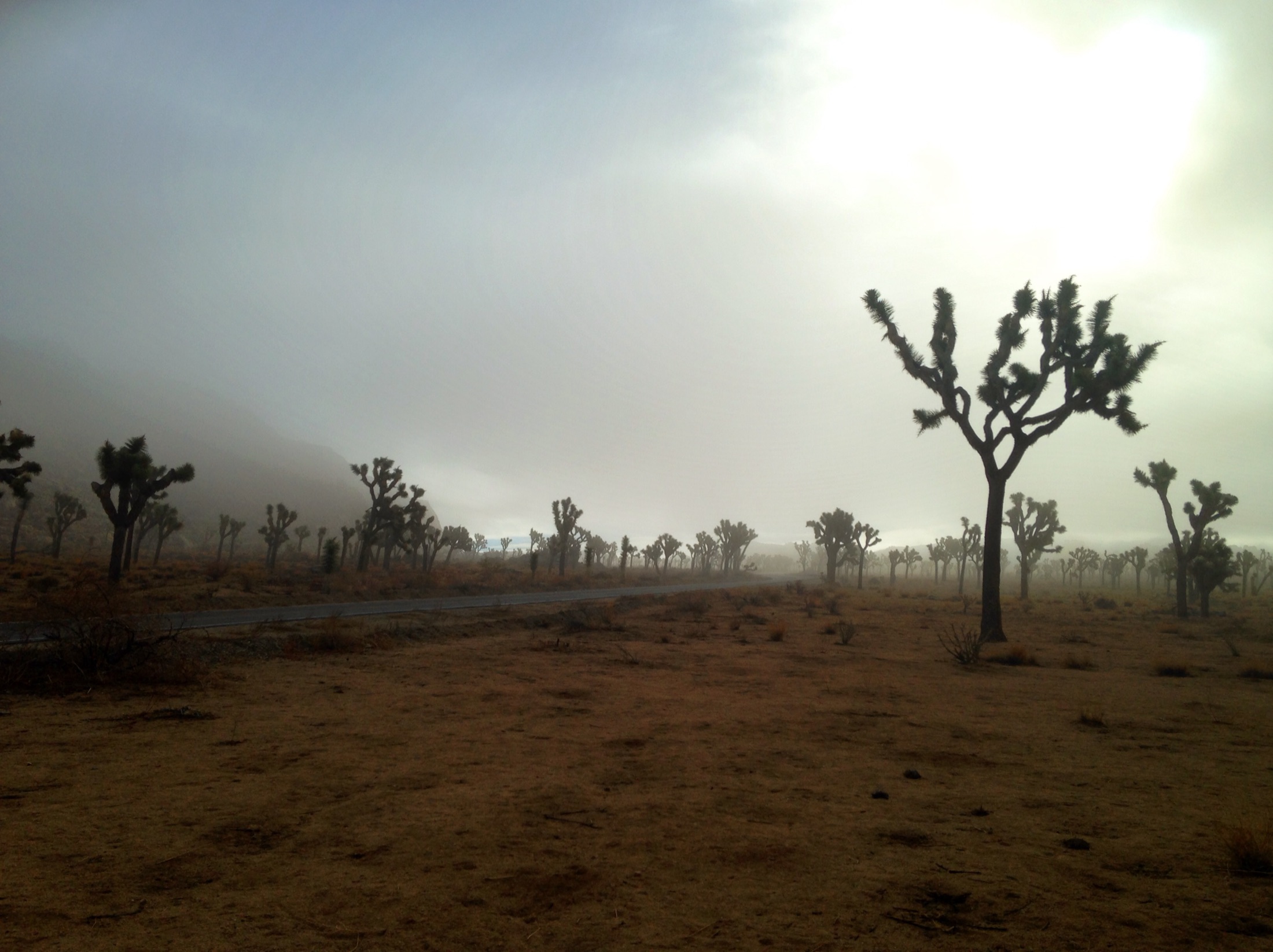
Joshua Tree
Where the Mojave and Colorado deserts meet: spiky Joshua trees, golden boulder piles, and some of the darkest night skies in Southern California.
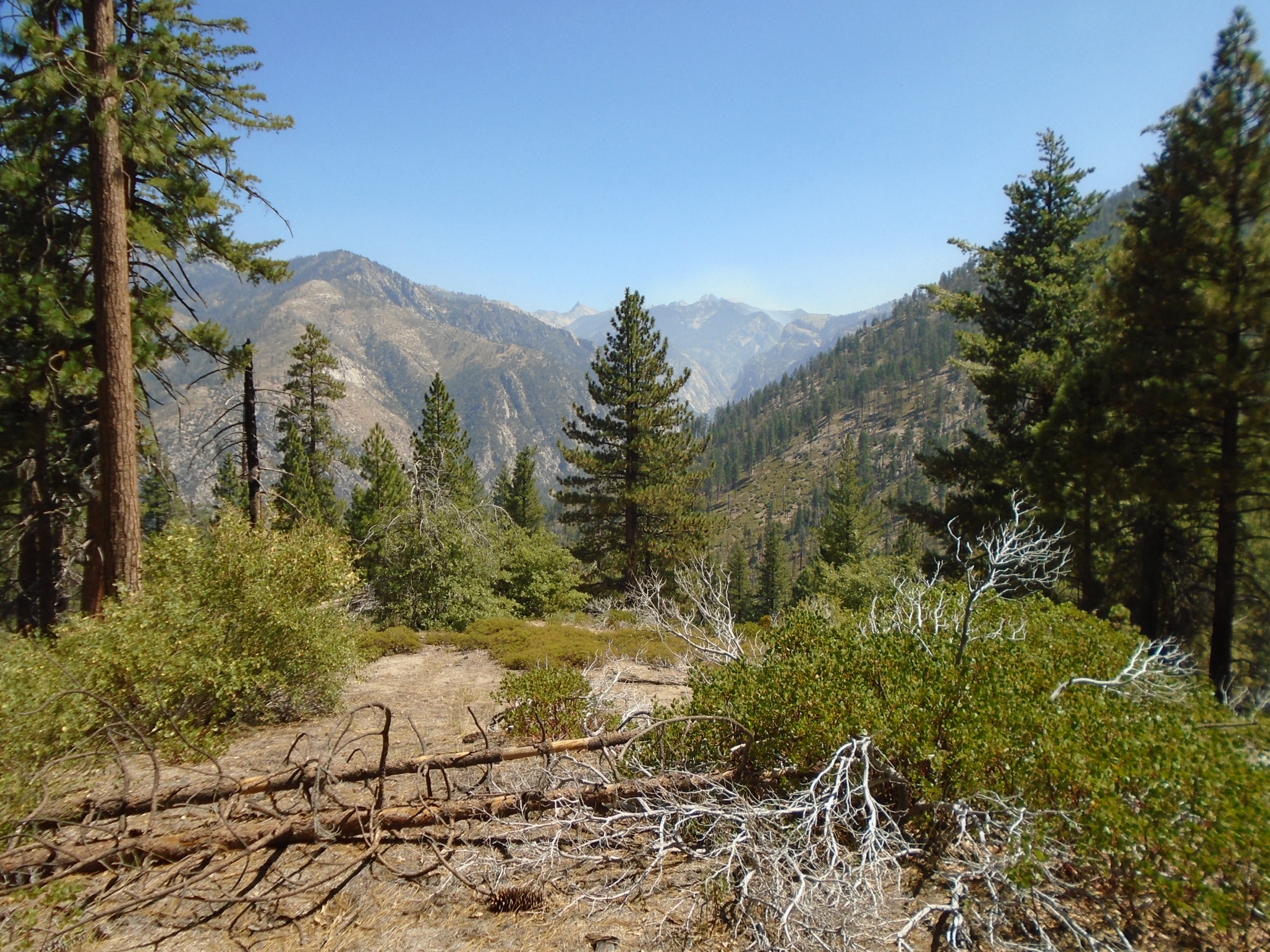
Kings Canyon
A glacier-carved canyon deeper than the Grand Canyon, giant sequoias, and a roadless High Sierra backcountry.
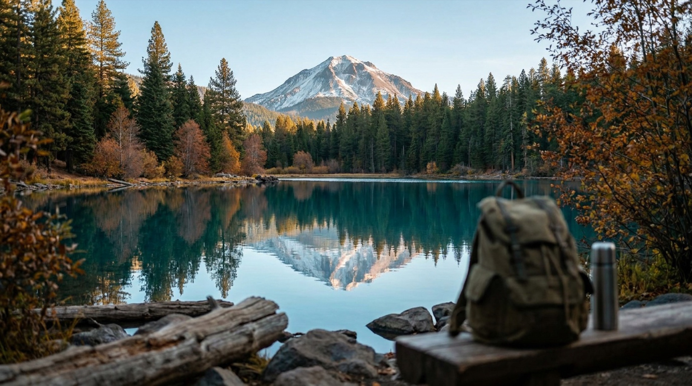
Lassen Volcanic
A compact volcanic wonderland where boiling mud pots, a recovering blast zone, and a summit hike crowd into one quiet park.
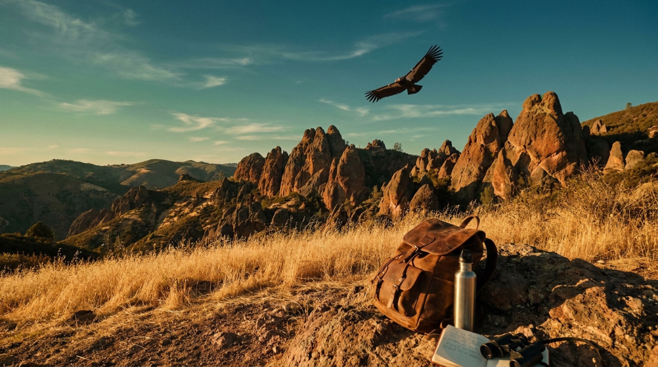
Pinnacles
Volcanic rock spires, two talus caves you can climb through, and the best odds anywhere of spotting a wild California condor.
Redwood National and State Parks
Home to the tallest trees on Earth, where coast redwoods top 350 feet over fern canyons and a wild Pacific shore.
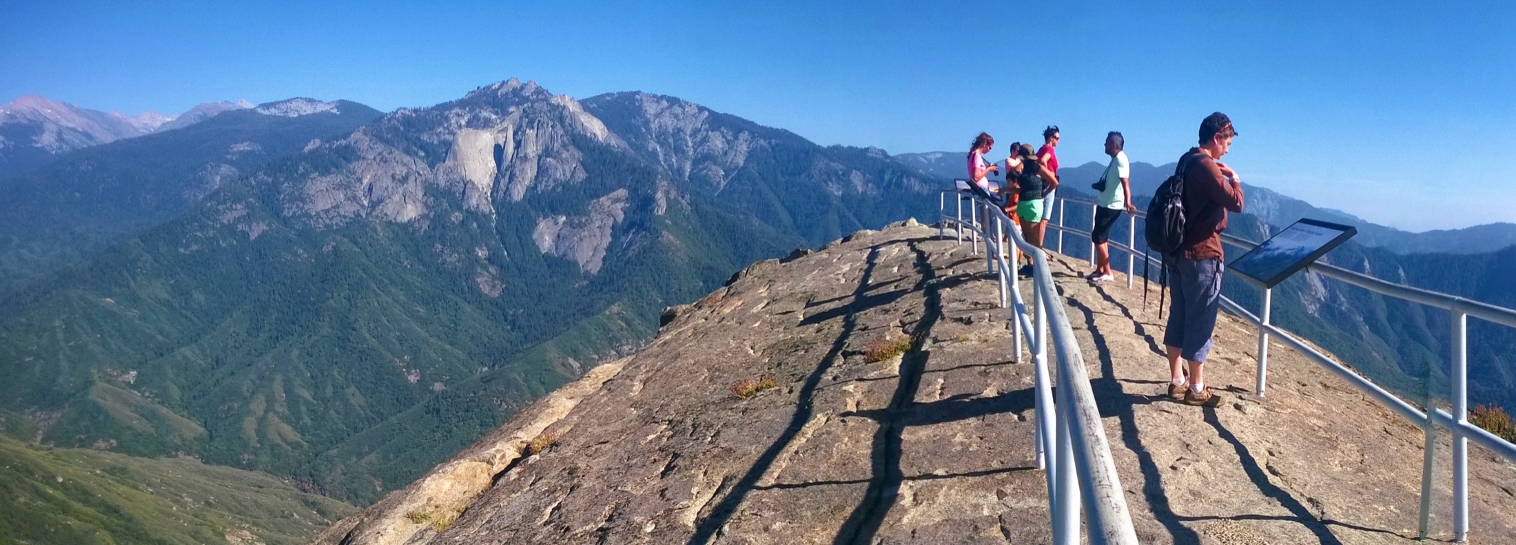
Sequoia
Home of the General Sherman, the largest tree on Earth, in a high Sierra forest of giant sequoias.
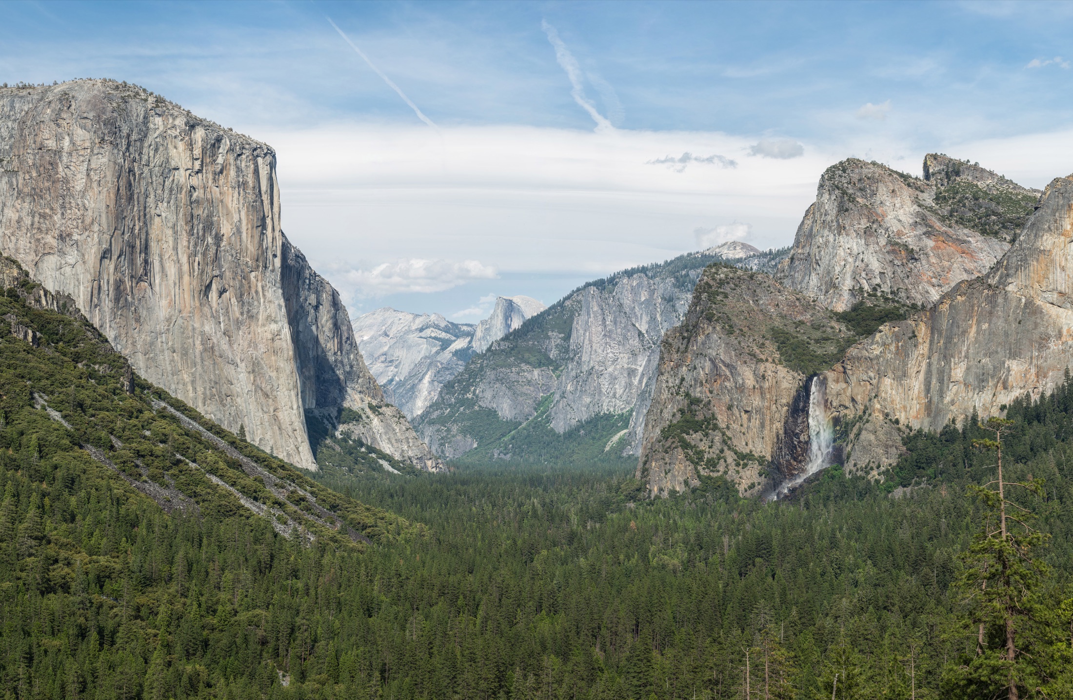
Yosemite
Granite walls, giant sequoias, and waterfalls that thunder in spring and vanish by late summer.
Planning a California trip
California is the rare state where you can stand under 300-foot redwoods in the morning and watch the sun set over a desert basin that drops below sea level the same week. The range is the whole point here. You get the granite walls and waterfalls of the high Sierra, the largest trees on earth in the southern Sierra, a chain of desert parks full of wildflowers and dark skies, rugged Pacific coastline, and volcanic country up north. The federal parks anchor the headline trips, and the 280-plus state parks fill in the rest, from Big Sur's redwoods-meets-ocean stretch to Anza-Borrego, the largest state park in California at nearly 600,000 acres.
Timing matters more in California than in most places because the state is really several climates stacked together. Spring (March to May) is the sweet spot: waterfalls run hard, deserts bloom, and the coast and foothills sit at comfortable hiking temperatures. Fall (September to November) brings thinner crowds and excellent trail conditions. The two big rules: the high Sierra is snowed in roughly November through May, so plan summer for the alpine country, and the desert parks turn dangerously hot from April through October, often topping 100F, so save those for the cooler months.
Because you might hike a snowy pass and a 100F desert wash on the same trip, pack in layers and plan for extremes. A solid base layer, an insulating mid-layer, and a wind or rain shell cover most of the state. Add real sun protection and far more water than feels necessary for any desert or low-elevation day, plus traction and warm gear if you are heading into the Sierra high country.
Getting around California
California has two main gateways for outdoor trips, and which one you fly into should follow which corner of the state you want. San Francisco (SFO) is the natural base for the central and northern outdoors: it is roughly 180-200 miles and about 3.5 hours to Yosemite Valley, with the redwood coast and the northern volcanic country reaching out from there. Los Angeles (LAX) is the better call for the southern desert parks; it sits closer to Joshua Tree than Las Vegas does and works well for stringing the desert parks together. Sacramento, San Diego, and Palm Springs are useful regional alternates, and for Death Valley specifically, Las Vegas (just over the Nevada line) is often the easiest jumping-off point.
Distances are the thing people underestimate. From LAX it is roughly 5 to 6 hours and close to 300 miles up to Yosemite, so do not try to pair Yosemite with the southern deserts in one short trip. Within the desert region, plan on 4 to 6 hours of driving between Joshua Tree and Death Valley depending on your route. A car is essentially required: the parks are far apart and public transit between them is thin. Fuel up before remote stretches, especially around Death Valley, where gas stations are sparse and far between, and download offline maps since cell service drops off quickly once you leave the interstates.
Region split
Do not try to make California one park trip.
California's parks reward separate trips: Sierra granite and big trees, coast and redwoods, desert winter sun, or a ferry-based island plan. The best itinerary picks one region instead of chasing the whole list.
Best window
May to October for the Sierra, winter to spring for the deserts, summer to fall for the coast.
Base logic
Valley access drives Yosemite, gateway towns drive the Sierra, ferry schedules drive Channel Islands.
Packing focus
Elevation layers, bear storage rules, sun protection, and coastal wind or fog.
Trip shape
Pair nearby parks only when the drive is honest, such as Sequoia and Kings Canyon.
Classic first trip
Build around Yosemite Valley and one higher-country day if roads are open. Add Sequoia and Kings only with enough nights.
Winter or shoulder trip
Use Joshua Tree, Death Valley, or Pinnacles when Sierra snow makes alpine plans harder.
Start with these guides
All 25 California park guides
- Anza-Borrego Desert State Park
- Cabrillo National Monument
- Calaveras Big Trees State Park
- Channel Islands National Park
- Death Valley National Park
- Devils Postpile National Monument
- Emerald Bay State Park
- Humboldt Redwoods State Park
- Joshua Tree National Park
- Julia Pfeiffer Burns State Park
- Kings Canyon National Park
- Lassen Volcanic National Park
- Lava Beds National Monument
- Mojave National Preserve
- Morro Bay State Park
- Mount Tamalpais State Park
- Muir Woods National Monument
- Pfeiffer Big Sur State Park
- Pinnacles National Park
- Point Reyes National Seashore
- Red Rock Canyon State Park
- Redwood National and State Parks
- Sequoia National Park
- Whiskeytown National Recreation Area
- Yosemite National Park
State park directory
Every California state park
A source-backed inventory layer for planning breadth. Full Kit Authority guides are marked when a park has camping detail, rules, and packing notes; the rest link straight to the official page. Looking for rail trails and state trails? They have their own Trail Guide.
266 parks
9 full guides · 238 with photos
Anza-Borrego Desert State Park
State Park
Largest state park in California, with 500 miles of dirt roads, 12 wilderness areas and many miles of hiking trails through desert wonders including bighorn sheep, wildflowers, palm groves and cacti.
- Camping
- RV Camping
- Hiking
- Picnicking
California State Parks
Full guideCalaveras Big Trees State Park
State Park
Preserves a prime example of mixed conifer forest with two groves of giant sequoias, the North Grove and South Grove.
- Camping
- RV Camping
- Hiking
- Fishing
California State Parks
Full guideEmerald Bay State Park
State Park
Emerald Bay State Park features two campgrounds, the scenic Rubicon foot trail, the Scandinavian-style Vikingsholm, and Fannette Island, the only island in Lake Tahoe.
- Camping
- Hiking
- Swimming
- Paddling
California State Parks
Full guideHumboldt Redwoods State Park
State Park
The park harbors the largest remaining old-growth redwood forest in the world, best experienced on the 32-mile Avenue of the Giants.
- Camping
- RV Camping
- Historic Site
- Picnicking
California State Parks
Full guideJulia Pfeiffer Burns State Park
State Park
Known for the 80-foot McWay Falls spilling onto a scenic beach, this Big Sur park also includes towering redwoods and historic Partington Cove.
- Picnicking
- Wildlife Viewing
- Hiking
California State Parks
Full guideMorro Bay State Park
State Park
Coastal park featuring the iconic Morro Rock, an estuary, volcanic peaks, a campground and the Morro Bay Museum of Natural History.
- Camping
- RV Camping
- Hiking
- Fishing
California State Parks
Full guideMount Tamalpais State Park
State Park
Just north of the Golden Gate Bridge, Mount Tamalpais rises from Marin County with deep canyons and hillsides cloaked in redwood forests, oak woodlands and grasslands.
- Camping
- Hiking
- Horseback Riding
- Fishing
California State Parks
Full guidePfeiffer Big Sur State Park
State Park
This popular Big Sur park lets visitors experience coast redwoods and the Big Sur River meandering through the forest, and is home to Big Sur's largest campground.
- Camping
- RV Camping
- Cabins
- Hiking
California State Parks
Full guideRed Rock Canyon State Park
State Park
Where the southern Sierra Nevada meets the El Paso Range, this park features scenic desert cliffs, buttes and rock formations with dramatic shapes and vivid colors.
- Hiking
- Horseback Riding
- Picnicking
- Historic Site
California State Parks
Full guideAhjumawi Lava Springs State Park
State Park
Reachable only by boat in remote northeastern Shasta County, a place of primeval beauty and rugged backcountry marked by jagged lava flows and black basalt.
- Camping
- Hiking
- Fishing
- Boating
California State Parks
Official pageAlbany State Marine Reserve
State Marine Reserve
Urban park that protects marine habitat in the eastern San Francisco Bay.
- Hiking
- Fishing
- Boating
- Wildlife Viewing
California State Parks
Official pageAnderson Marsh State Historic Park
State Historic Park
Freshwater marsh landscape with a rich cultural heritage spanning 14,000 years.
- Hiking
- Boating
- Picnicking
- Wildlife Viewing
California State Parks
Official pageAndrew Molera State Park
State Park
Almost 5,000 acres of largely undeveloped diverse coast range terrain with 15 miles of trails and the Big Sur Rivermouth.
- Hiking
- Boating
- Swimming
- Picnicking
California State Parks
Official pageAngel Island State Park
State Park
The largest natural island in the San Francisco Bay, offering spectacular views of the San Francisco skyline, the Marin Headlands, and Mount Tamalpais.
- Camping
- Hiking
- Fishing
- Boating
California State Parks
Official pageAño Nuevo State Park
State Park
Rugged peninsula that draws visitors from around the world to witness elephant seals mate, give birth, and rest from long sea voyages.
- Hiking
- Picnicking
- Wildlife Viewing
- Historic Site
California State Parks
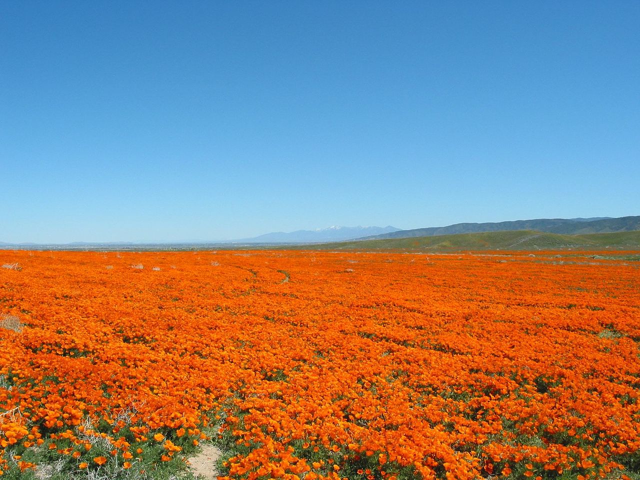
Official pageAntelope Valley California Poppy Reserve State Natural Reserve
State Natural Reserve
This park in the western Mojave Desert is located on California's most consistent poppy-bearing land, with wildflowers creating stunning spring views of the Antelope Valley.
- Hiking
- Picnicking
- Wildlife Viewing
- Historic Site
California State Parks
Official pageAntelope Valley Indian Museum State Historic Park
State Historic Park
This regional museum displays exhibits representing Native American cultures from the Antelope Valley, California coast, Great Basin, and the Southwest.
- Hiking
- Picnicking
- Wildlife Viewing
- Historic Site
California State Parks
Official pageArmstrong Redwoods State Natural Reserve
State Natural Reserve
Sonoma County reserve that preserves stately coast redwood forest that covered much of the area before logging operations began in the 19th century.
- Hiking
- Picnicking
- Horseback Riding
- Historic Site
California State Parks
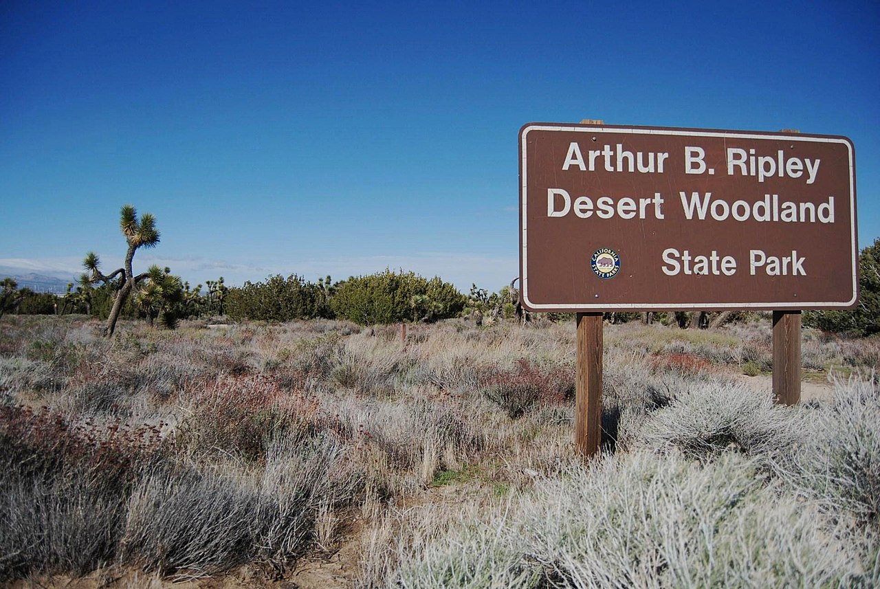
Official pageArthur B. Ripley Desert Woodland State Park
State Park
Protects an impressive stand of native Joshua and juniper trees that once grew in great abundance throughout the Antelope Valley.
- Hiking
- Picnicking
- Wildlife Viewing
- Historic Site
California State Parks
Official pageAsilomar State Beach
State Beach
Pacific Grove park with the historic Y.W.C.A. conference grounds designed by architect Julia Morgan and the Asilomar Dunes Natural Preserve above a coastal trail of white beaches and rocky tidepools.
- Hiking
- Swimming
- Picnicking
- Wildlife Viewing
California State Parks
Official pageAuburn State Recreation Area
State Recreation Area
Offers hiking, fishing, camping, whitewater recreation and more along two forks of the American River in the heart of the gold country.
- Camping
- Hiking
- Fishing
- Boating
California State Parks
Official pageAustin Creek State Recreation Area
State Recreation Area
Sonoma County park offering recreation on 6,000 acres and 20 miles of trails through meadows, woodlands and rolling hills, home to the historic Pond Farm Pottery.
- Camping
- Hiking
- Fishing
- Swimming
California State Parks
Official pageAzalea State Natural Reserve
State Natural Reserve
A reserve for western azalea along California's northern coast, with a profusion of white and pink blossoms in spring.
- Hiking
- Picnicking
California State Parks
Official pageBale Grist Mill State Historic Park
State Historic Park
In the heart of Napa Valley, a fully restored water-powered grist mill built in 1846 by Edward Turner Bale, offering a look into California's rural pioneer past.
- Hiking
- Picnicking
- Historic Site
- Geocaching
California State Parks
Official page


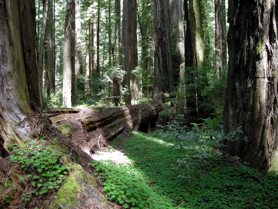


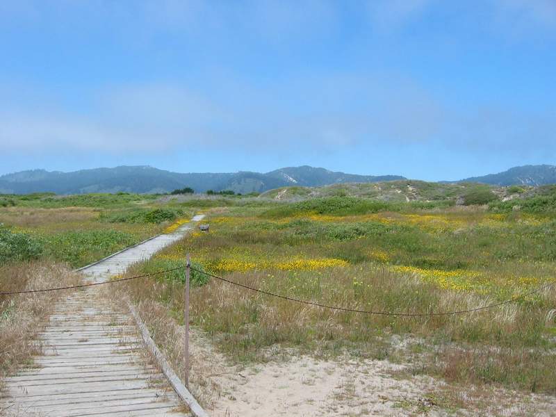






Inventory source: USGS PAD-US 4.1. Photos are public-domain or Creative Commons via Wikimedia Commons, credited per image. Official reservations and rules remain state-specific, so use the state booking links before committing to dates.
Native plants of California
California packs coastal bluffs, oak savanna, redwood understory, and high Sierra meadows into one state park system. These natives show up across that whole range, and most transfer readily to a California garden.
California poppy
Eschscholzia californica
The state flower, washing hillsides and grasslands in orange from February through May.
Scatter seed on bare soil in fall and let it self-sow. Grow itCalifornia fuchsia
Epilobium canum
Scarlet trumpet flowers on dry slopes and canyon walls in late summer, when little else blooms.
A drought-tolerant hummingbird plant for hot banks. Grow itDouglas iris
Iris douglasiana
Purple-blue iris of the coastal bluffs and prairies from Sonoma to Big Sur.
A tough evergreen iris for dry part shade. Grow itWestern columbine
Aquilegia formosa
Nodding red-and-yellow flowers along shaded streams in the Sierra and coast ranges.
Self-sows politely in a moist, dappled bed. Grow itBlue elderberry
Sambucus cerulea
A small tree with powder-blue berry clusters that feed birds through oak woodland and foothill parks.
A fast, wildlife-friendly screen with edible fruit. Grow itCommon yarrow
Achillea millefolium
Flat white flower heads over ferny foliage, from beach dunes to subalpine meadows.
An easy, long-blooming pollinator perennial. Grow itKinnikinnick (bearberry)
Arctostaphylos uva-ursi
A glossy evergreen manzanita relative carpeting sandy coastal and mountain ground.
An evergreen native groundcover for lean soil. Grow it
Grow-at-home guides for these come from our sister site, Sprout Authority.
Frequently asked questions
What is the best time to visit California's national parks?
Spring (March to May) and fall (September to November) are the best overall windows, with comfortable temperatures and lighter crowds than midsummer. The catch is that timing depends on elevation: visit the high Sierra parks in summer, when the snow has cleared, and save the desert parks for the cooler months, since they regularly top 100F from April through October. Spring is especially good for peak waterfalls in the Sierra and wildflower blooms in the desert.
Which California national park is the best one to visit?
Yosemite is the most iconic and the usual first choice, with its granite cliffs, waterfalls, and giant sequoias drawing the biggest crowds. But the best park really depends on your season and your style: Joshua Tree is ideal for cooler-month desert hiking and rock climbing, Death Valley delivers otherworldly low-desert landscapes in winter, and the redwood parks up north offer the tallest trees on earth. If you only have time for one classic trip, start with Yosemite in late spring or early fall.
Do I need a car to visit California's outdoor areas?
Yes, for almost any multi-park trip a car is essential. The parks are spread across hundreds of miles with limited public transit between them, and distances are large (5 to 6 hours from Los Angeles up to Yosemite, and 4 to 6 hours between Joshua Tree and Death Valley). Fly into San Francisco for central and northern trips or Los Angeles for the southern deserts, rent a car, and download offline maps since cell service drops out quickly in remote areas.