Destinations
Oregon outdoors
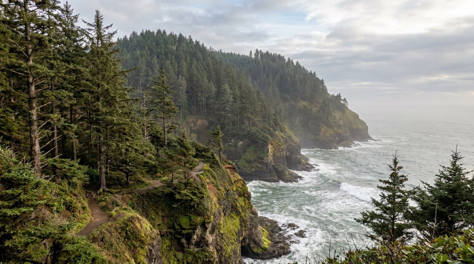
From a 1,943-foot-deep volcanic crater lake to a 363-mile public coastline, Oregon packs alpine, high desert, and sea into one state.
Top parks in Oregon
See all 183 parks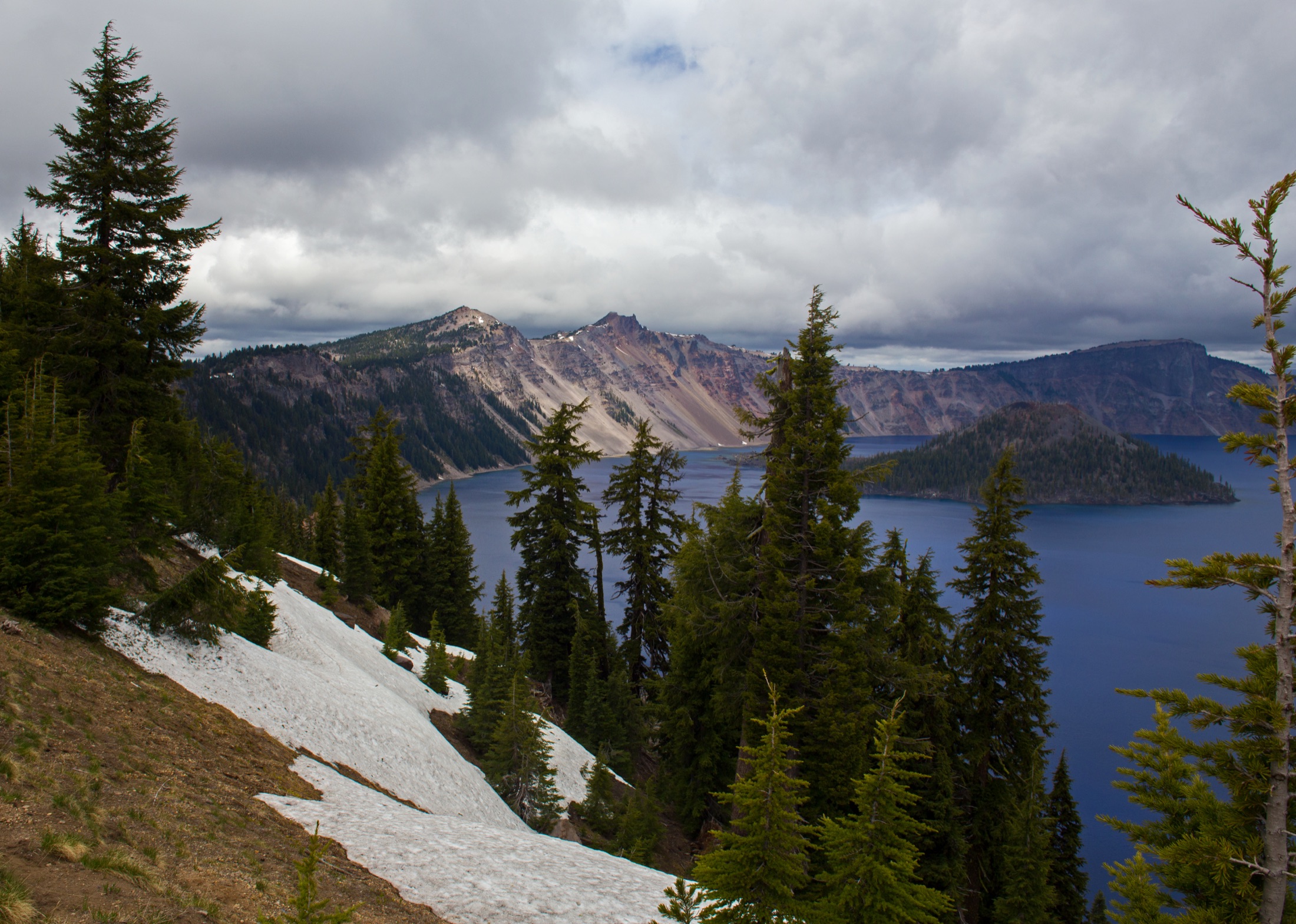
Crater Lake
The deepest lake in the United States, a 1,943-foot caldera of impossibly blue water rimmed by a 33-mile drive.
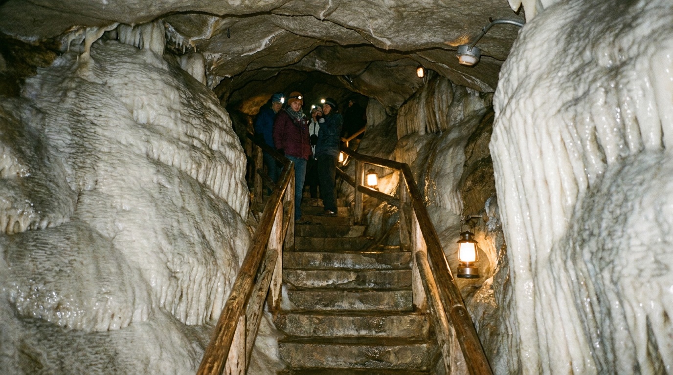
Oregon Caves National Monument and Preserve
A marble cave high in the Siskiyou Mountains, seen only on a guided tour, with a historic 1934 lodge and surface trails through old-growth forest near Cave Junction.
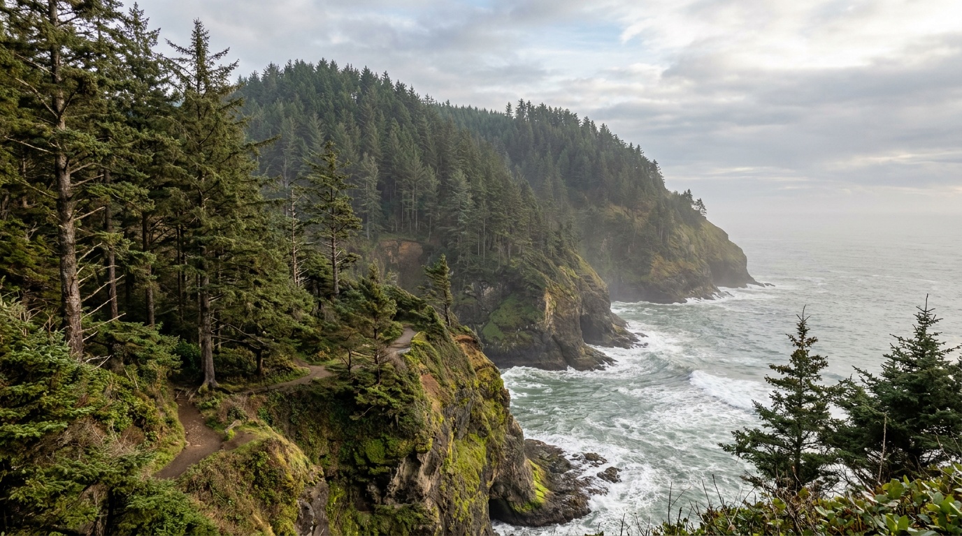
Cape Lookout State Park
A sand-spit and old-growth headland park on the Three Capes coast south of Tillamook, with a long beach, a forested cape trail to the ocean's edge, and a popular reservable campground.
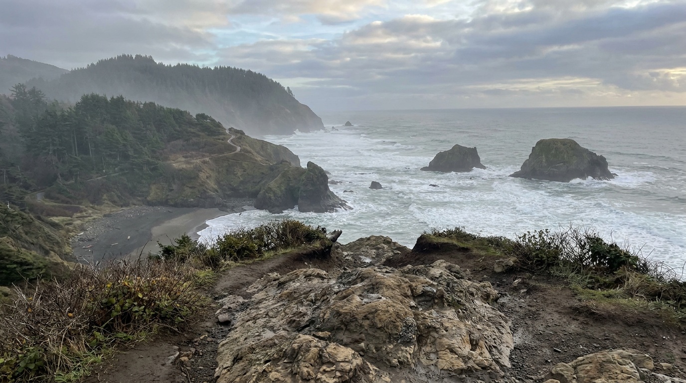
Ecola State Park
A dramatic headland park just north of Cannon Beach, with sweeping ocean viewpoints, the Tillamook Head trail, surf at Indian Beach, and a view of Terrible Tilly lighthouse. Day-use only.
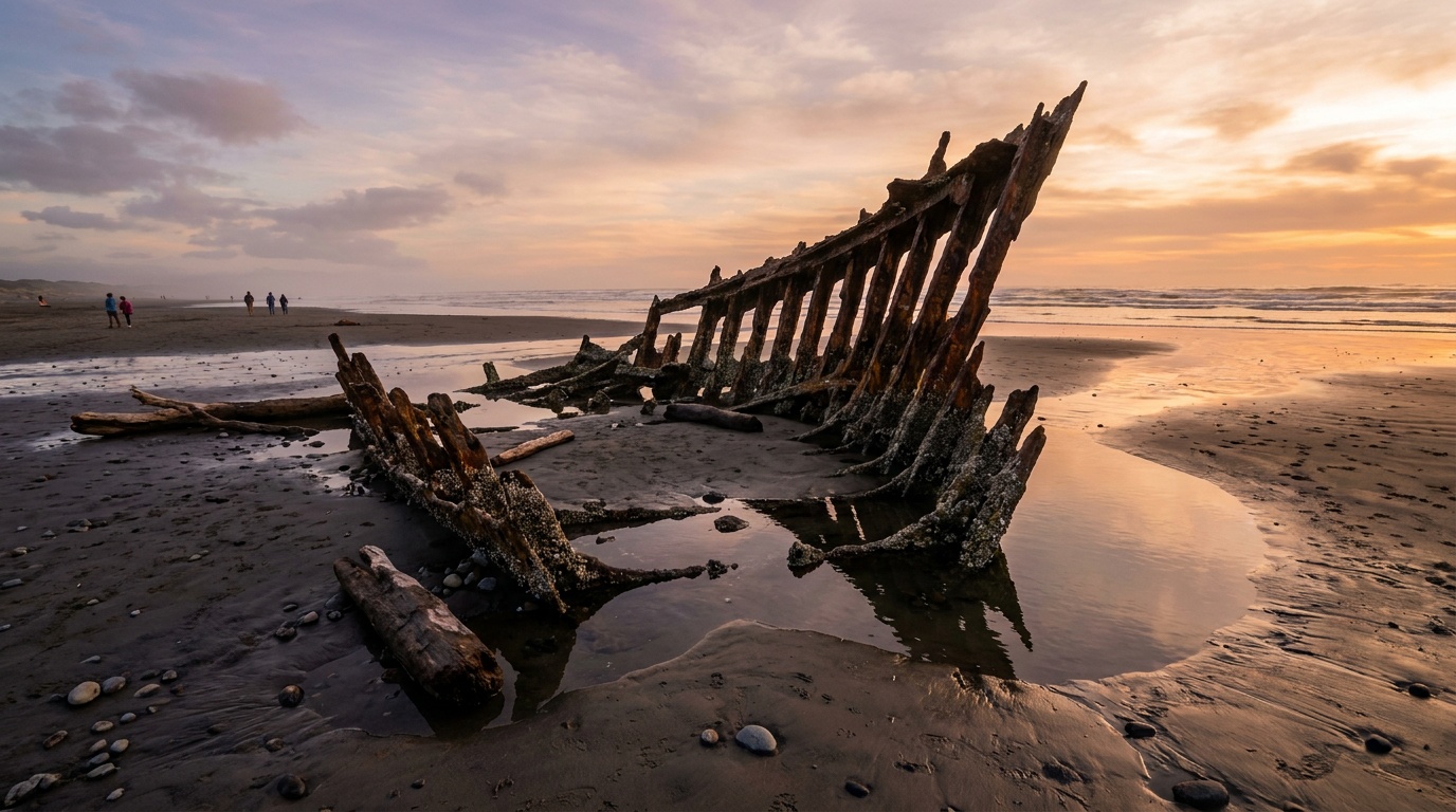
Fort Stevens State Park
A huge Oregon Coast park where the Columbia River meets the Pacific: the Peter Iredale shipwreck, historic military batteries, a freshwater lake, paved bike paths, and one of the largest campgrounds in the state.
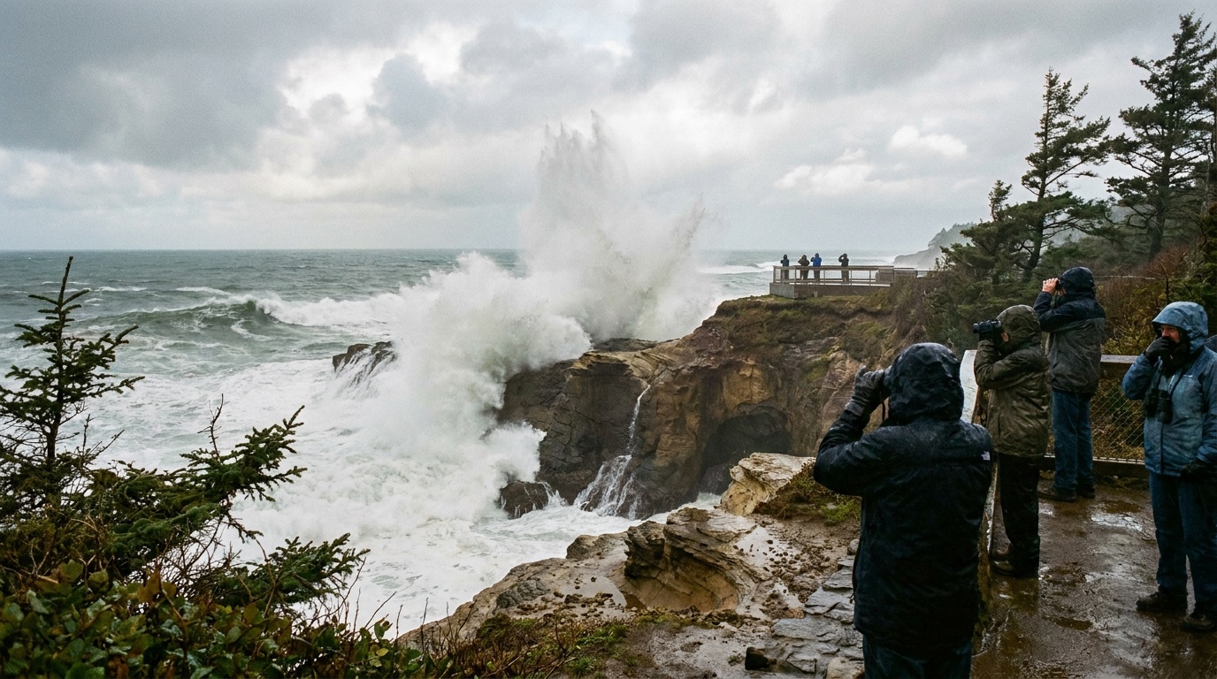
Shore Acres State Park
A clifftop Oregon Coast day-use park built around formal botanical gardens, dramatic storm-watching, and sea-lion overlooks, with no camping of its own.
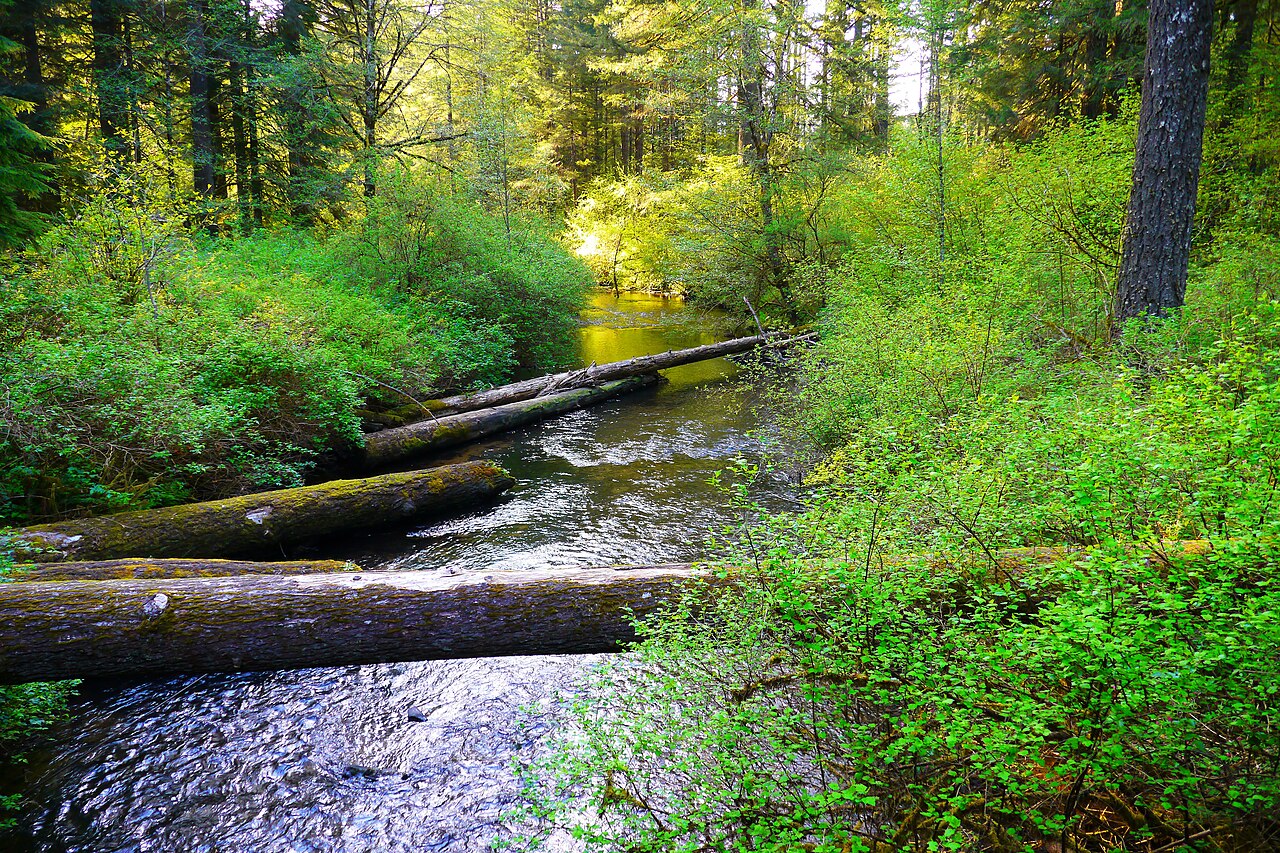
Silver Falls State Park
Oregon's waterfall showcase, with the Trail of Ten Falls, forest camping, cabins, group sites, and shoulder-season rain logic.
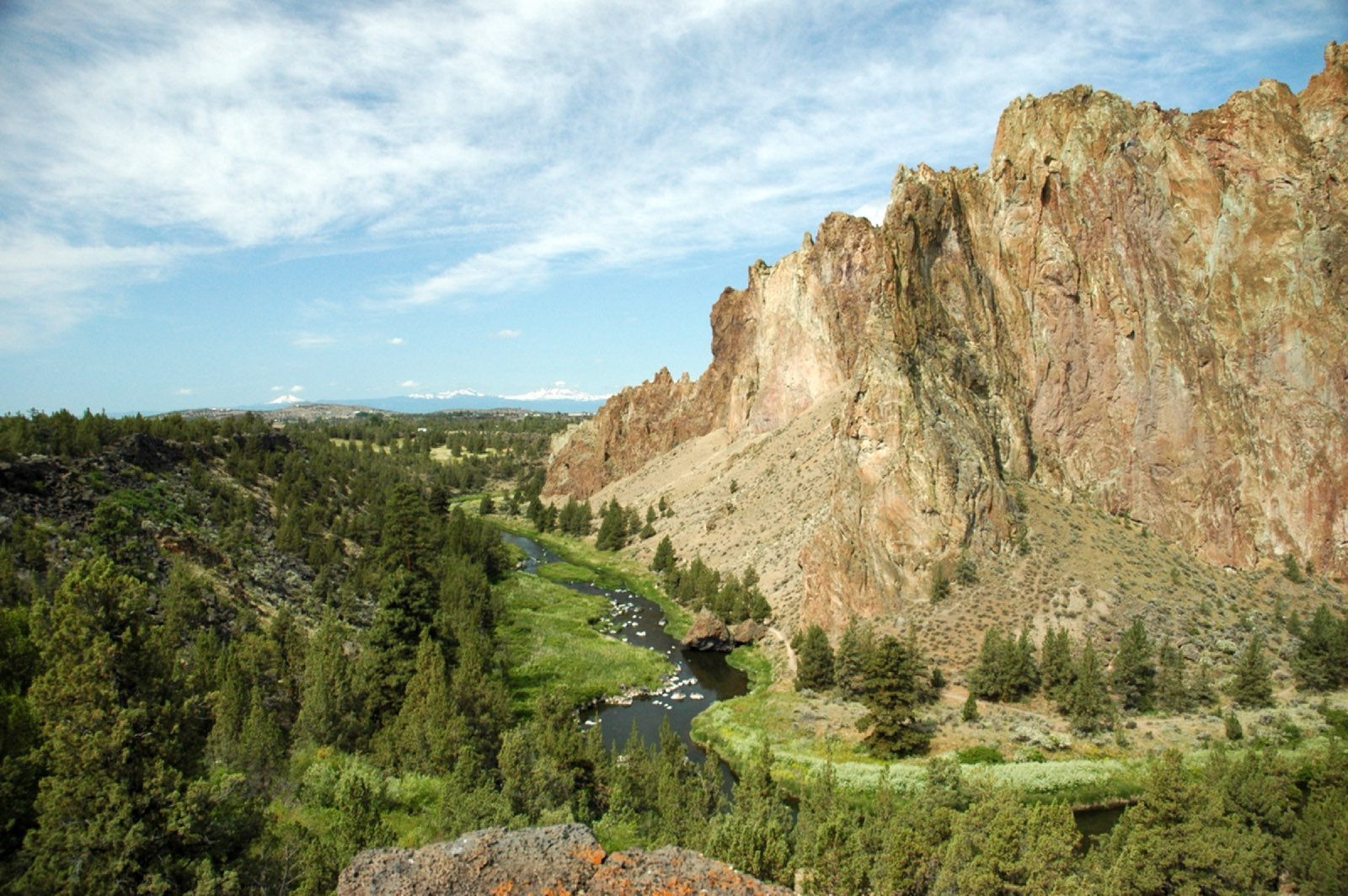
Smith Rock State Park
The birthplace of American sport climbing: tuff spires over the Crooked River, the Misery Ridge loop, and a tents-only walk-in Bivouac area with no vehicle camping.

Agate Beach State Recreation Site
Agate Beach Wayside sits between old and new Highway 101 with a tunnel trail to a large sandy beach popular for razor clamming and surfing.
Planning a Oregon trip
Oregon is one of those states where you can stand in old-growth forest in the morning, cross high desert by afternoon, and watch the sun drop into the Pacific by evening. The crown jewel is Crater Lake, the deepest lake in the United States at around 1,943 feet, sitting in the collapsed caldera of an ancient volcano and holding a blue so saturated it looks unreal. But the state's outdoor reputation is much broader than its one national park.
The whole 363-mile coastline is public land by law, which makes Oregon special: every beach, headland, and tide pool is yours to walk. The central coast around Yachats and Cape Perpetua gives you dramatic basalt cliffs and Thor's Well, while the south coast around Bandon trades crowds for wide empty sand. Inland, the Columbia River Gorge stacks waterfalls along a single corridor east of Portland, Mount Hood offers year-round snow and alpine trails, and the high desert around Bend (Smith Rock, the Deschutes River, the Cascade Lakes) is a sunny playground that stays open when the mountains are buried.
When to go depends on where. Summer (July through September) is the sweet spot for the mountains and Crater Lake, with daytime highs around 65-80F and the rim road and trails finally clear of snow. Crater Lake gets buried in roughly 40 feet of snow a year, and Rim Drive plus the north entrance typically close from November into May, so a winter visit means snowshoes and the south entrance only. The coast and the Gorge stay walkable year-round; just expect rain and bring layers October through May.
The packing through-line for Oregon is rain readiness and layers, full stop. Even in summer the coast runs cool and damp, mountain mornings start cold, and the high desert swings hot to chilly the same day. A waterproof shell, warm midlayer, and real traction underfoot will carry you across nearly every corner of the state.
Getting around Oregon
Portland International Airport (PDX) is the main gateway and the most practical landing spot for the northern half of the state: the city itself, the Columbia River Gorge, Mount Hood, and the north coast are all within easy reach. From PDX it is about 38 miles (roughly 50 minutes) to the Mount Hood village area, and the Gorge waterfall corridor begins just east of the city along I-84.
If your trip centers on the high desert, fly into Redmond Municipal Airport (RDM), the closest hub to Bend. For Crater Lake, the nearest airport is Rogue Valley International in Medford (MFR) to the south, which saves you the long haul down from Portland.
Driving is how you actually see Oregon, and the distances are real. Portland to Bend runs about 160 miles (3 hours), often via Mount Hood and US-97. Portland to Crater Lake is roughly 250 miles and 4.5 to 5 hours on the more direct route; add time and scenery if you route through the Gorge and Mount Hood instead (closer to 300 miles). Bend to Crater Lake is a manageable couple of hours south, which makes a Bend-based trip a smart way to pair high desert and the national park. Coast-to-mountains crossings are shorter than the map suggests, but mountain passes can hold snow into late spring, so check conditions before you commit to a route in the shoulder seasons.
All 8 Oregon park guides
State park directory
Every Oregon state park
A source-backed inventory layer for planning breadth. Full Kit Authority guides are marked when a park has camping detail, rules, and packing notes; the rest link straight to the official page. Looking for rail trails and state trails? They have their own Trail Guide.
179 parks
6 full guides · 151 with photos
Cape Lookout State Park
State Park
Located on a sand spit between Netarts Bay and the ocean, Cape Lookout is a destination for hiking, beachcombing, and the Three Capes Scenic Route.
- Camping
- RV Camping
- Cabins
- Hiking
Oregon State Parks
Full guideEcola State Park
State Park
Wrapping around Tillamook Head between Seaside and Cannon Beach, Ecola stretches along nine miles of coastline with cliffside trails and ocean views.
- Hiking
- Backpacking
- Beach
- Picnicking
Oregon State Parks
Full guideFort Stevens State Park
State Park
A 4,300-acre park at the mouth of the Columbia River near Astoria, offering one of the nation's largest campgrounds, a historic military fort, a freshwater lake and a shipwreck.
- Camping
- RV Camping
- Cabins
- Hiking
Oregon State Parks
Full guideShore Acres State Park
State Park
A clifftop park on the former estate of timber baron Louis Simpson, featuring formal gardens and dramatic ocean views.
- Wildlife Viewing
- Hiking
- Picnicking
- Beach
Oregon State Parks
Full guideSilver Falls State Park
State Park
Called the crown jewel of Oregon's parks, home to the Trail of Ten Falls and over 35 miles of backcountry trails through forested canyon.
- Camping
- Cabins
- Fishing
- Horseback Riding
Oregon State Parks
Full guideSmith Rock State Park
State Park
A deep river canyon park world-renowned for rock climbing, with thousands of routes plus hiking and mountain biking trails.
- Wildlife Viewing
- Fishing
- Horseback Riding
- Hiking
Oregon State Parks
Full guideAgate Beach State Recreation Site
State park system area
Agate Beach Wayside sits between old and new Highway 101 with a tunnel trail to a large sandy beach popular for razor clamming and surfing.
- Fishing
- Beach
- Picnicking
Oregon State Parks
Official pageAinsworth State Park
State Park
Nestled in the Columbia River Gorge near the eastern end of the Waterfall Corridor, Ainsworth offers a shaded campground and access to gorge hiking trails.
- Camping
- RV Camping
- Hiking
- Picnicking
Oregon State Parks
Official pageAlderwood State Wayside
State Wayside
A forested park along Highway 36 with large Douglas fir trees, a picnic area, restroom, and a short trail along the Long Tom River.
- Fishing
- Hiking
- Picnicking
Oregon State Parks
Official pageAlfred A. Loeb State Park
State Park
Loeb sits in a grove of ancient myrtlewood trees along the Chetco River, offering riverside campsites, cabins, and renowned salmon and steelhead fishing.
- Camping
- RV Camping
- Cabins
- Fishing
Oregon State Parks
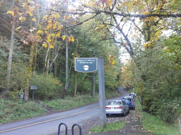
Official pageAngel's Rest Trailhead
State park system area
The west Gorge trail climbs through trees and over boulders to the Angel's Rest viewpoint, offering a 270-degree view of the Columbia River Gorge.
- Hiking
- Backpacking
Oregon State Parks
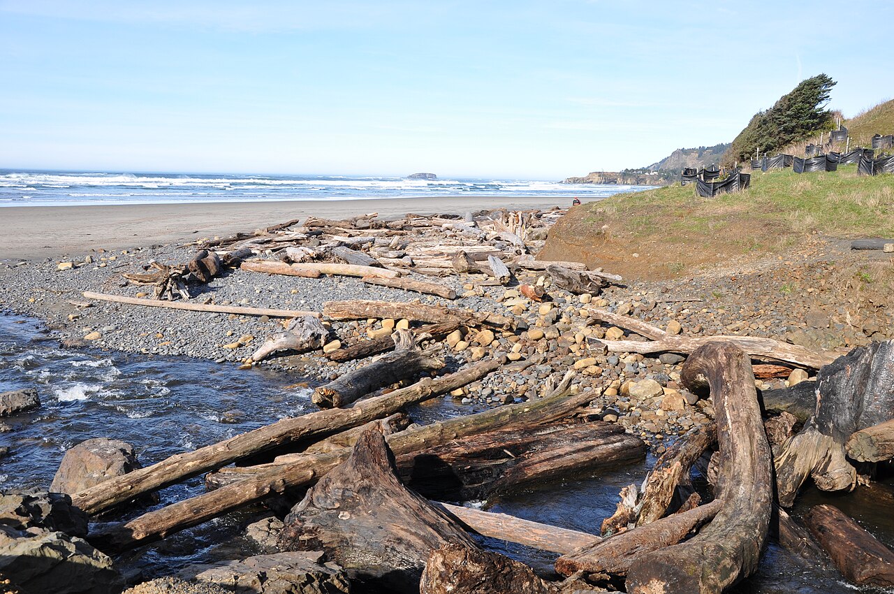
Official pageArizona Beach State Recreation Site
State park system area
Arizona Beach is a sheltered stretch of sand between two rocky headlands, with wetlands that attract elk and waterfowl and a youth fishing pond.
- Camping
- RV Camping
- Fishing
- Beach
Oregon State Parks
Official pageBald Peak State Scenic Viewpoint
State Scenic Viewpoint
Bald Peak offers a grassy hillside with views over the Chehalem hills and a short stroll through a Douglas fir woodland.
- Picnicking
- Hiking
Oregon State Parks
Official pageBandon State Natural Area
State Natural Area
Bandon State Natural Area comprises several beach access points along Beach Loop Road, with valuable habitat for wildlife and shorebirds.
- Fishing
- Beach
- Hiking
- Picnicking
Oregon State Parks
Official pageBeachside State Recreation Site
State park system area
A small campground south of Waldport set alongside miles of broad sandy beach, with every campsite seconds from the shore.
- Camping
- RV Camping
- Beach
- Wildlife Viewing
Oregon State Parks
Official pageBenson State Recreation Area
State Recreation Area
Benson stretches along the Columbia River near Multnomah Falls and features a disc golf course, a group picnic shelter, and a stocked lake for swimming and fishing.
- Fishing
- Swimming
- Paddling
- Disc Golf
Oregon State Parks
Official pageBeverly Beach State Park
State Park
Hidden in a forest between Cape Foulweather and Yaquina Head, Beverly Beach has a creekside campground steps from miles of ocean beach.
- Camping
- RV Camping
- Beach
- Playground
Oregon State Parks
Official pageBob Straub State Park
State Park
Located in Pacific City, this park provides beach access and a place to walk and explore the Nestucca sand spit at the mouth of the Nestucca River.
- Beach
- Fishing
Oregon State Parks
Official pageBoiler Bay State Scenic Viewpoint
State Scenic Viewpoint
A rugged, basalt-rimmed bay that is a great place to watch surf and gray whales year round and one of Oregon's best sites for seeing ocean-going birds.
- Wildlife Viewing
Oregon State Parks
Official pageBonnie Lure State Recreation Area
State Recreation Area
An off-the-beaten-path park along Eagle Creek where visitors may glimpse a pileated woodpecker or hook a steelhead trout.
- Fishing
- Wildlife Viewing
Oregon State Parks
Official pageBooth State Scenic Corridor
State Scenic Corridor
A wooded wayside along Highway 140 where you can picnic under old-growth ponderosa pines and watch for mule deer, coyote, and cougar.
- Picnicking
- Wildlife Viewing
Oregon State Parks
Official pageBradley State Scenic Viewpoint
State Scenic Viewpoint
One of the few rest stops along Highway 30, with a restroom, monument, and a Douglas fir forest overlooking the Columbia River.
- Picnicking
Oregon State Parks
Official pageBrian Booth State Park
State Park
Made up of Ona Beach day-use and Beaver Creek State Natural Area, the park offers beach access, a creek paddle, and five miles of trails.
- Beach
- Paddling
- Hiking
- Picnicking
Oregon State Parks
Official pageBridal Veil Falls State Scenic Viewpoint
State Scenic Viewpoint
Located off the Columbia River Highway, this park features two short hikes, one to Bridal Veil Falls and the other to overlooks of the Columbia River.
- Hiking
- Picnicking
Oregon State Parks
Official page






Inventory source: USGS PAD-US 4.1. Photos are public-domain or Creative Commons via Wikimedia Commons, credited per image. Official reservations and rules remain state-specific, so use the state booking links before committing to dates.
Native plants of Oregon
Oregon's parks move from basalt gorges to fog-belt forest to high desert, and the understory does a lot of the scenery's work. Several of its signature natives are among the most garden-worthy plants in the Northwest.
Oregon grape
Mahonia aquifolium
The state flower: holly-like evergreen leaves, yellow spring bloom, and tart blue berries through forest parks statewide.
An evergreen backbone shrub for dry shade. Grow itSalal
Gaultheria shallon
Dense evergreen thickets under the coastal spruce and fir of the state park beaches.
An evergreen understory shrub for shade. Grow itRed-flowering currant
Ribes sanguineum
Pink flower clusters in March that mark the start of spring in western Oregon woodlands.
An early-season hummingbird shrub. Grow itCommon camas
Camassia quamash
Blue drifts across wet prairies and oak savanna in April, a plant with deep First Foods history.
Western columbine
Aquilegia formosa
Red-and-yellow flowers along shaded gorge trails and Cascade streams.
Self-sows politely in a moist, dappled bed. Grow itDouglas iris
Iris douglasiana
Purple-blue iris on the southern Oregon coast's bluffs and headland prairies.
A tough evergreen iris for dry part shade. Grow it
Grow-at-home guides for these come from our sister site, Sprout Authority.
Frequently asked questions
What is the best national park in Oregon?
Crater Lake is Oregon's only national park, and it is a genuine standout. It surrounds the deepest lake in the United States (about 1,943 feet), set inside the caldera of a collapsed volcano, with an exceptionally vivid blue color fed entirely by rain and snow. The 33-mile Rim Drive, rim trails, and Mt. Scott summit hike are the highlights once the snow clears.
When is the best time to visit Oregon's parks?
For the mountains and Crater Lake, aim for July through September, when trails and the rim road are clear of snow and daytime temperatures sit around 65-80F. Crater Lake's Rim Drive and north entrance typically close from November into May under heavy snow, leaving only the south entrance open for winter snowshoeing. The Oregon coast and the Columbia River Gorge stay accessible year-round, though they are rainiest from October through May.
Do I need a car to explore Oregon's outdoors?
Yes, for nearly all of it. Public transit covers Portland well, but the Gorge waterfalls, Mount Hood, Bend's high desert, the coast, and Crater Lake are spread across long distances with limited transit. Renting a car (Portland for the north, Redmond for Bend, Medford for Crater Lake) is the only practical way to link the major outdoor areas.