Skip to content
KITAUTHORITY
An elevated wooden boardwalk trail winding through the old-growth bottomland hardwood forest and swamp of Congaree National Park, South Carolina, framed by towering trees.

National Park · South Carolina

Congaree

Walk a free boardwalk through the largest old-growth bottomland hardwood forest in the Southeast.

Ken Lund via Wikimedia Commons (CC BY-SA 2.0)
A boardwalk through green bottomland hardwood forest in Congaree

Field briefing

Congaree changes fast with season and elevation.

Before you go

Congaree protects the largest intact old-growth bottomland hardwood forest in the Southeast, a floodplain of towering trees just 20 miles from Columbia, South Carolina.

Go in spring or fall when temperatures are mild and the bugs are manageable: summer is hot, humid, and heavy with mosquitoes, while winter is quiet and often the clearest. The forest floods regularly, so check conditions at the visitor center before you go and expect mud. Bring serious insect repellent, water, and waterproof footwear, and plan your trip around the Boardwalk Loop, a Cedar Creek paddle, or the late-spring synchronous fireflies.

Best window
Spring (March through May), when temperatures are mild and the forest greens up
Signature routes
Boardwalk Loop Trail, Cedar Creek Canoe Trail
Pack focus
Water, route logistics, weather checks

The landmarks worth the trip. Tap any photo to enlarge.

Location
South Carolina
Established
1976 (national monument), redesignated a national park in 2003
Size
27k acres
Visitors
250k / year
Best time
Spring (March through May), when temperatures are mild and the forest greens up
Entrance
Free. No entrance fee and no timed-entry reservation required.
Nearest airport
Columbia Metropolitan Airport (CAE), about 20 miles and a 30 minute drive northwest of the park

When to go

Conditions, crowds, and what each season asks you to pack.

Spring

65-80F

High crowds

Mild and pleasant, highs 65-80F, with rising humidity and the forest leafing out

Pack Light layers and bug spray as mosquitoes wake up

Summer

90-95F

Moderate crowds

Hot and very humid, highs 90-95F, with afternoon thunderstorms common

Pack Heavy-duty insect repellent, sun protection, and plenty of water

Fall

70-85F

High crowds

Warm early, cooling later, highs 70-85F, lower humidity and fewer bugs

Pack Breathable layers and a light rain shell for passing showers

Winter

55-60F

Low crowds

Cool and damp, highs 55-60F, occasional frost and the clearest boardwalk views

Pack A warm midlayer and waterproof boots for muddy, flood-prone trails

Cedar Creek winding through Congaree's floodplain forest

Top things to do

The accessible Boardwalk Loop through Congaree forest

Boardwalk Loop Trail

2.4 mi loopEasy

A 2.4 mile elevated boardwalk that loops through champion old-growth trees, fully accessible and the park's signature walk.

Cedar Creek shaded by bottomland trees

Cedar Creek Canoe Trail

Variable paddleModerate

A blackwater paddle through tupelo and cypress, the best way to feel the floodplain from the water.

Weston Lake beside the floodplain forest

Weston Lake Loop Trail

4.4 mi loopModerate

A roughly 4.4 mile hike past an oxbow lake where you may spot otters, turtles, and wading birds.

Synchronous Fireflies

For about two weeks in late May or early June, fireflies flash in unison, one of the few places in the country this happens.

Harry Hampton standing beside a giant bald cypress

Harry Hampton Visitor Center

Trip starting pointEasy

The starting point with exhibits, ranger guidance on flooding conditions, and the free backcountry permit desk.

How long to spend

Anchor the day around Boardwalk Loop Trail

Put the access rule first: shuttle, parking, timed-entry, or reservation windows should decide the order of the day. For one day in Congaree, make Boardwalk Loop Trail the non-negotiable, add Cedar Creek Canoe Trail only if the first stop runs clean, and keep Weston Lake Loop Trail as the flexible finish.

  1. 1Start with Boardwalk Loop Trail: A 2.4 mile elevated boardwalk that loops through champion old-growth trees, fully accessible and the park's signature walk.
  2. 2Add Cedar Creek Canoe Trail: A blackwater paddle through tupelo and cypress, the best way to feel the floodplain from the water.
  3. 3Use Weston Lake Loop Trail as the optional finish, not as a reason to rush the whole day.

Plan your trip

Turn Congaree's conditions into water, pack, and sleep-system decisions.

A bridge over South Cedar Creek in Congaree

Build around conditions

Let season, elevation, and weather set the plan.

Plan your trip

4 quick tools, already seeded for Congaree. Tune the numbers around temperature swings, footing, layers, and how much margin the route needs.

  1. 01Size your water for a hot day on the trail
  2. 02Dial in your pack base weight before you load up
  3. 03Find the pack size a multi-day trip here needs
  4. 04Check you will sleep warm down to about 55F

What to pack

Start with the gear decisions Congaree changes: water, footing, weather, and overnight needs. The checklist is there once your route and dates are set.

Pack planning

Decide what Congaree asks of your kit before you start checking boxes.

Use this as a constraint check while you are still shaping the trip. The active checklist becomes useful once your route, dates, and sleep plan are set.

  • First constraintHydration and exposureWater, Electrolyte mix, hat, sunscreen, sunglasses, 4 more
  • Route realityFooting and tractionHiking boots, Hiking socks, Trekking poles
  • Load choicePack and carry systemBackpacking pack
  • If overnightSleep and shelterBackpacking tent, Sleeping bag, Sleeping pad, 1 more

Checklist mode

21 items, grouped for the trip you are actually taking.

  1. Dates and season are set.
  2. Primary route, campground, or lodge is chosen.
  3. Water, footwear, and overnight needs are sized.

Gear for Congaree

The buying guides that match what Congaree asks of your kit. Each one has our current top picks across budget and use case.

Where to stay

Congaree's low boardwalk during a flood event

Stay strategy

Sleep where the first morning stays simple.

Stay strategy

Stay in Columbia for comfort, camp in the park for a quieter forest night.

Congaree is close enough to Columbia that most visitors should sleep in town and treat the park as a day trip. Camp inside only when you want the firefly window, a dawn boardwalk, or a paddling start without a morning drive. Flooding and mosquitoes matter more than distance.

City base
Columbia is about 30 minutes away
In-park camping
Longleaf and Bluff campgrounds
Backcountry
Allowed by free permit
Trip check
Flooding can close trails or change paddling plans

Compare base options

Compare each base by the first morning: where you park, what you ride, and how many decisions happen before the trail or viewpoint.

Congaree boardwalk through green forest

Default base

Columbia

Best for
Hotels, restaurants, groceries, and weather-flexible day trips
Tradeoff
You give up the quietest dawn and after-dark forest windows.
Planning detail

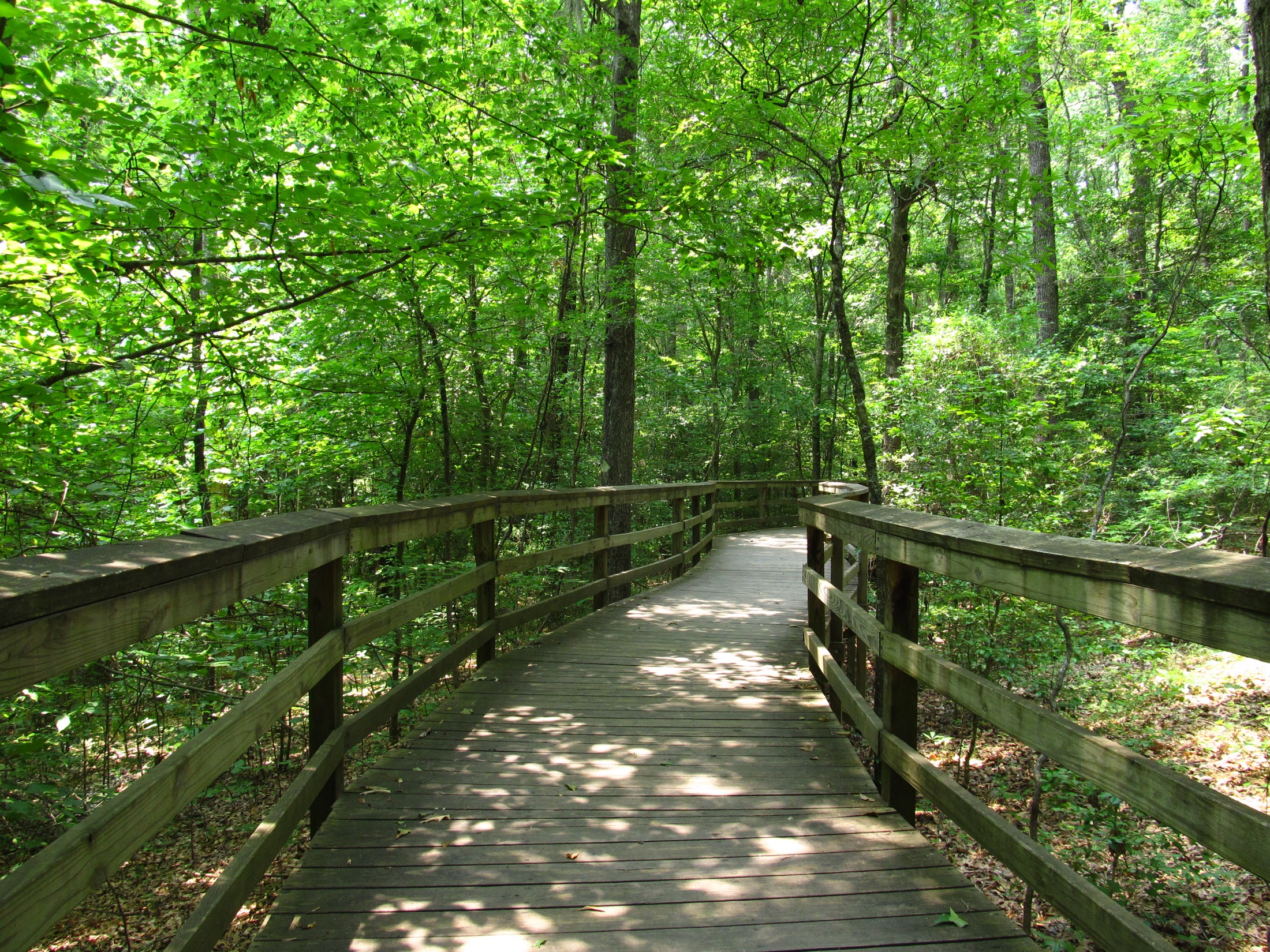
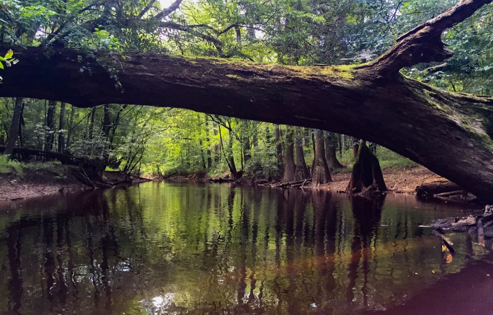
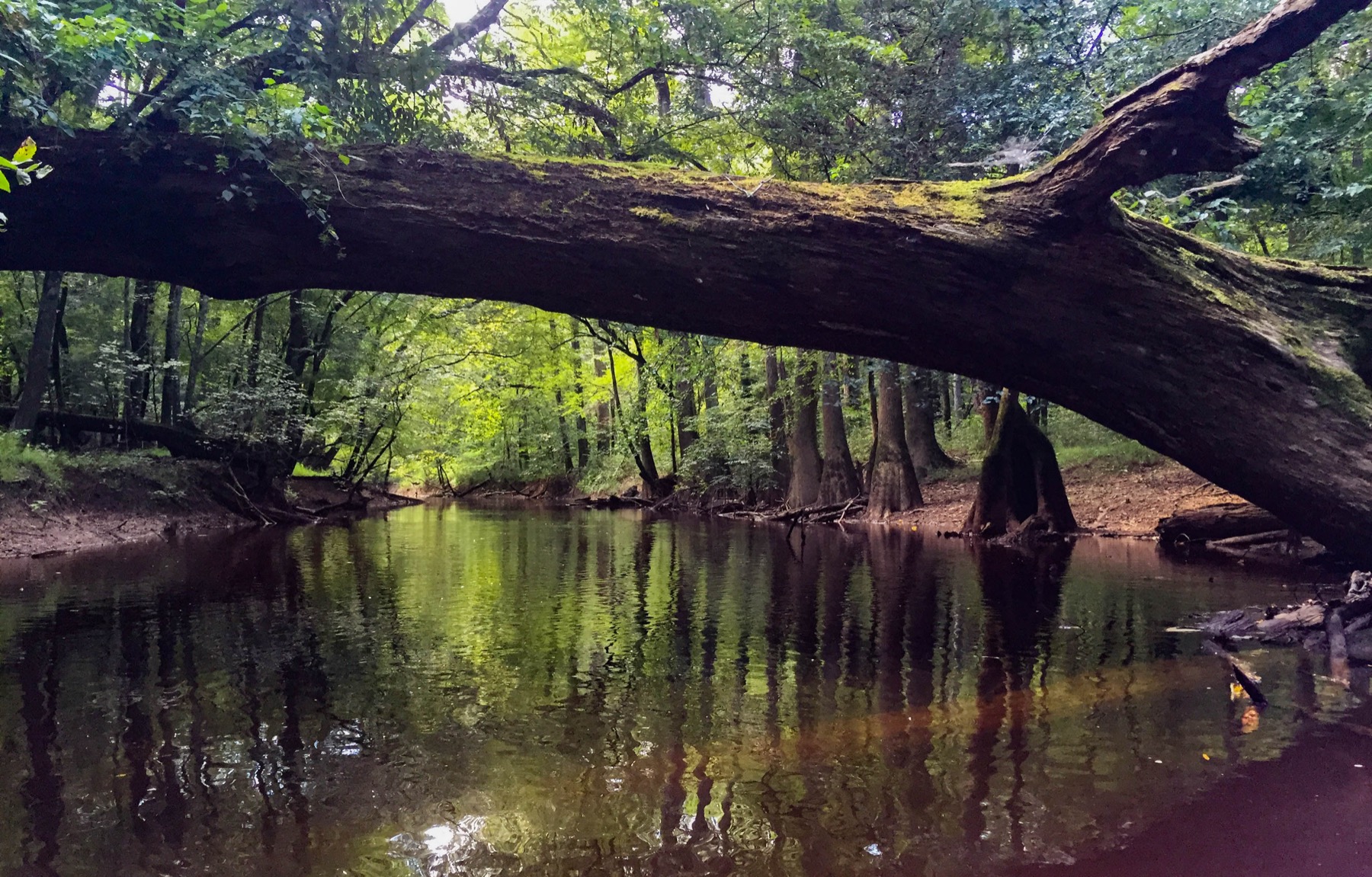
Use Columbia when comfort and flexibility matter. It is close enough to check conditions, pivot around flood levels, and still fit the Boardwalk Loop plus Cedar Creek or Weston Lake.

A bridge over South Cedar Creek in the forest

Inside the park

Longleaf or Bluff Campground

Campground details
Best for
Firefly trips, early boardwalk walks, and simple tent camping
Tradeoff
No lodge, humid nights, and mosquitoes can be intense.
Planning detail

Choose the park campgrounds when your timing revolves around the forest itself. Pack bug protection and check flood conditions before committing to trail mileage.

A bald cypress in Congaree National Park

Backcountry

Floodplain camping by permit

Backcountry details
Best for
Self-sufficient campers who understand floodplain travel
Tradeoff
Water levels, mud, insects, and navigation drive the experience.
Planning detail

Backcountry camping can be rewarding, but this is not a casual forest sleepout. Ask about current water levels and carry the bug, map, and waterproofing kit the floodplain demands.

Fireflies

For the late May or early June event, solve lodging before the lottery or event timing becomes the headline.

Bug season

Summer lodging comfort matters more here than in many mountain parks.

Camping reservations

Camping reservations

Camping reservations for Congaree

Campground systems change by season and sometimes by individual campground. Start with the official park camping page, then confirm open dates, reservation windows, and permit rules before booking.

Reviewed June 6, 2026

Booking window

Check the official park camping page before choosing dates.

  • Use the official park page as the source of truth for campground status, seasonal closures, and first-come rules.
  • Many federal campsite, backcountry, tour, and permit reservations are handled through Recreation.gov, but not every park uses the same system.

Where to book or verify

Official NPS camping page

Use this first for current campground status and park-specific rules.

Search Recreation.gov

Check for federal campground, backcountry, tour, and permit inventory tied to this park.

Permits and reservations

Use this for wilderness permits, timed systems, tours, and other park-specific reservations.

Getting there and practical info

Cedar Creek winding through Congaree's floodplain forest

Plan the handoff from arrival to shuttle.

Parking, pedestrian entrances, and shuttle timing decide how calmly the first morning starts.

Getting there

Get to Congaree, then remove the first-morning friction.

Nearest airport
Columbia Metropolitan Airport (CAE), about 20 miles and a 30 minute drive northwest of the park
Access rhythm
Plan the last mile
Region
South Carolina
  1. Fly in

    Fly into Columbia Metropolitan Airport (CAE), about 20 miles and a 30 minute drive from the park entrance.

  2. Shuttle access

    From Columbia, take I-77 to Highway 48 (Bluff Road) and follow signs to the Harry Hampton Visitor Center at 100 National Park Road, Hopkins, SC.

  3. Local movement

    The park is an easy day trip from Charlotte (about 2 hours) or Charleston (about 2 hours).

Pair this with lodging: sleep where the park transfer is simple, especially if your route needs an early start.

LocationSouth Carolina

Frequently asked questions

Is there an entrance fee for Congaree National Park?

No. Congaree is one of the free national parks, with no entrance fee and no timed-entry reservation. Camping does require a small fee and a reservation through Recreation.gov, and backcountry camping needs a free permit from the visitor center.

When is the best time to visit Congaree?

Spring and fall are ideal, with mild highs in the 65-85F range and lower humidity. Summer is hot and buggy, and winter is cool, quiet, and often offers the clearest views. Late May to early June is special for the synchronous fireflies.

Do I need to worry about mosquitoes and flooding?

Yes on both. Congaree is a floodplain forest, so mosquitoes can be intense from late spring through summer; pack strong repellent. The forest also floods regularly, which can close trails, so check current conditions at the Harry Hampton Visitor Center before you hike.

How long do I need to see Congaree?

A half-day covers the highlights. The 2.4 mile Boardwalk Loop takes one to two hours and is fully accessible. Add a Cedar Creek paddle or the Weston Lake Loop and you have a full and rewarding day.

Keep planning