Destinations
Vermont outdoors
Green Mountain peaks, gorges, and lake shores across 55 state parks, threaded by the country's oldest long-distance trail.
Top parks in Vermont
See all 59 parks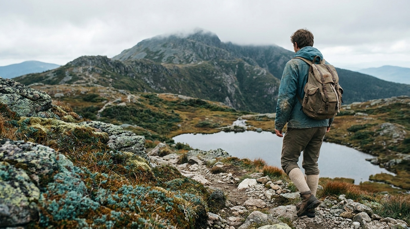
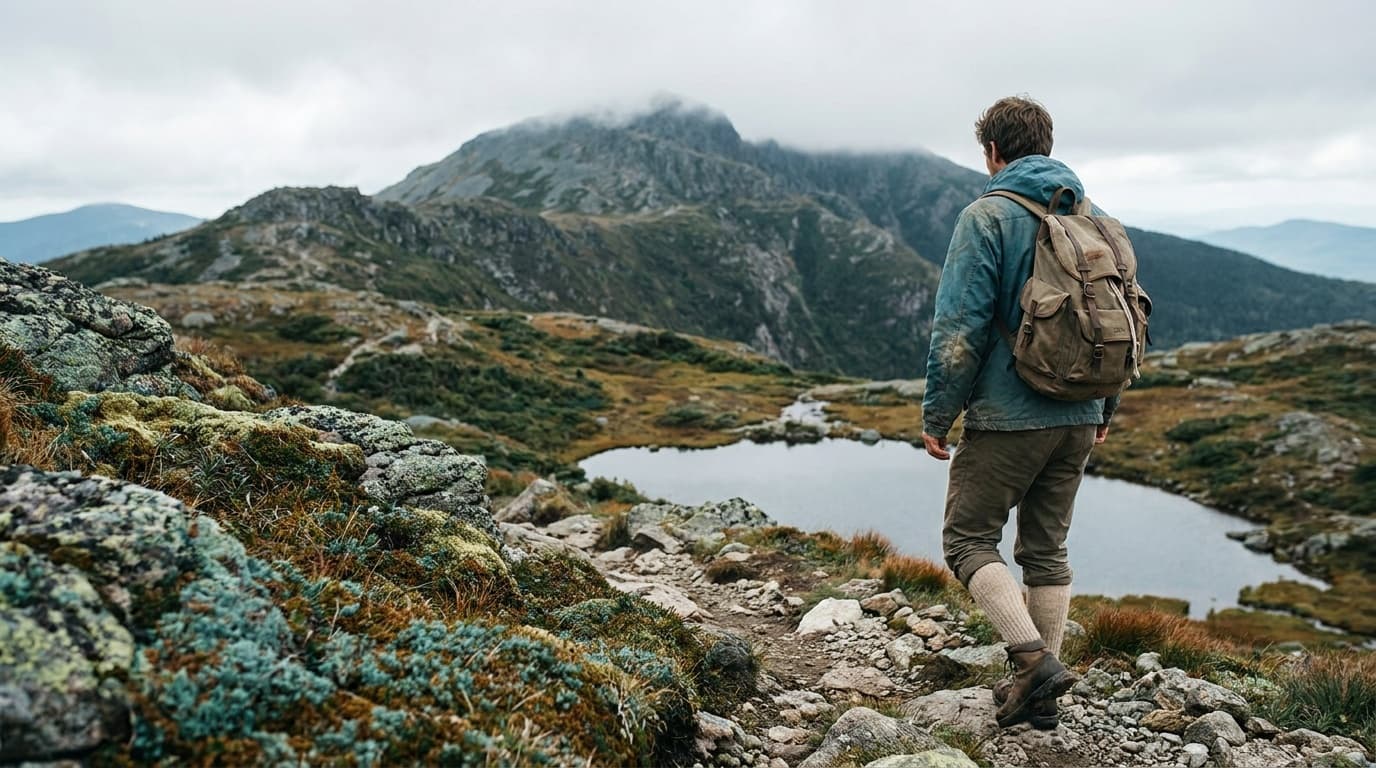
Camel's Hump State Park
Vermont's most iconic alpine summit, the only undeveloped peak above 4,000 feet in the state, reached by the Long Trail and the classic Burrows and Monroe routes on a wild 24,000-acre landscape.
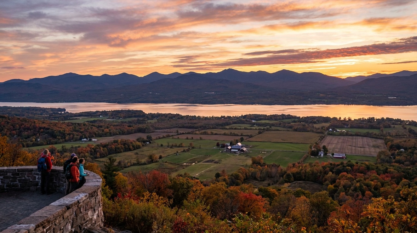
Mount Philo State Park
Vermont's oldest state park: a small summit above the Champlain Valley with a drive-up view of the lake and Adirondacks, plus ten quiet campsites.
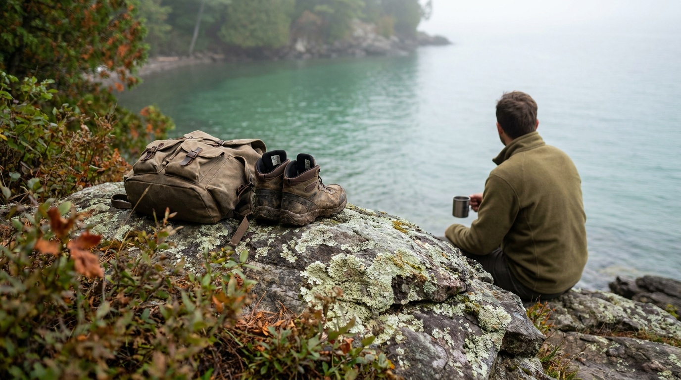
Niquette Bay State Park
A secluded 584-acre day-use park on Lake Champlain's eastern shore in Colchester, with seven miles of forested trail through rare natural communities and 4,700 feet of quiet rocky shoreline.
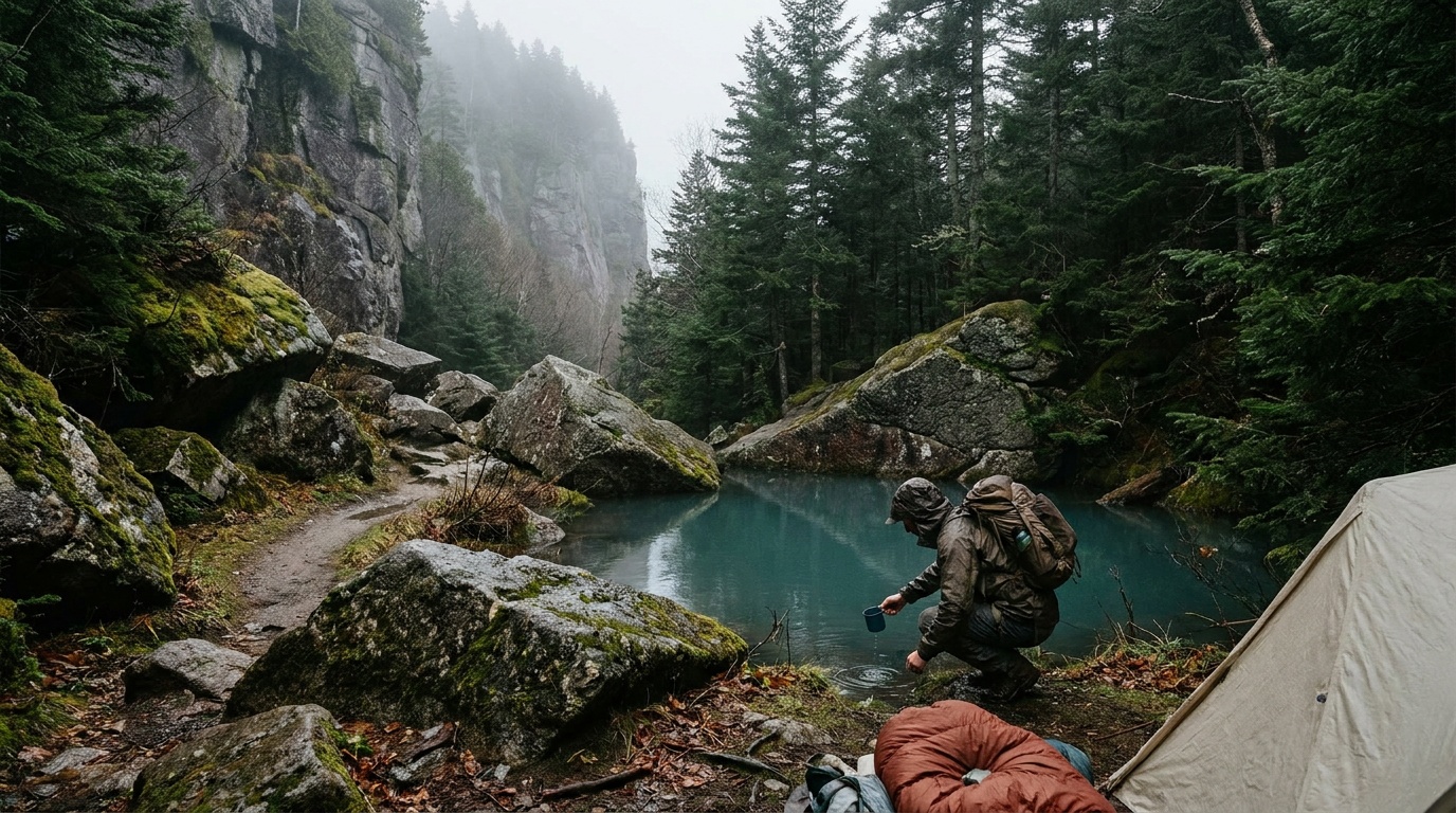
Smugglers' Notch State Park
A narrow mountain pass between Mount Mansfield and Spruce Peak, where cliffs rise nearly 1,000 feet overhead, boulders crowd the road, and a compact campground puts hikers minutes from Sterling Pond and the Long Trail.

Quechee State Park
Quechee State Park lies along US Route 4 near Quechee Gorge, drawing hundreds of thousands of visitors each year along with overnight campers.

Mount Ascutney State Park
Mount Ascutney State Park flanks 3,144-foot Mt. Ascutney to the north, south, and east, making it a favorite of outdoor enthusiasts and sightseers.

Button Bay State Park
Button Bay is a 253-acre park on a bluff in Ferrisburgh along Lake Champlain, named for the button-like clay concretions found along its shoreline.

Branbury State Park
Branbury State Park lies on the eastern shore of Lake Dunmore at the base of Mount Moosalamoo and features a 1,000-foot natural sandy beach.
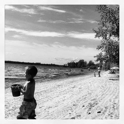
Alburgh Dunes State Park
Alburgh Dunes State Park covers 625 acres and is named for the sand dunes near one of the longest beaches on Lake Champlain.
Planning a Vermont trip
Vermont is small, but it stacks a lot of mountain into a short drive. The Green Mountains run the length of the state, and the public land draped over them, more than 50 state parks plus the roughly 400,000-acre Green Mountain National Forest, gives you summits, gorges, waterfalls, and quiet lake shores without ever feeling crowded the way bigger Western parks can. There is no national park here, so your map is built from state parks, the national forest, and the trail system, and that is a feature: it spreads the crowds out and keeps things local.
A few areas do most of the heavy lifting. Mount Mansfield, the state's highest peak at 4,393 feet, is the headline climb, with Underhill State Park as the popular jumping-off point for the Sunset Ridge route and its long views over Lake Champlain. Camel's Hump, just over 4,000 feet and one of the most recognizable profiles in the state, rewards a steep day hike with a true 360-degree summit. For something gentler, Quechee State Park frames a 165-foot gorge that locals call Vermont's Little Grand Canyon, and Smugglers' Notch threads hiking and rock-climbing trails through a narrow pass of towering cliffs. Stitching it all together is the Long Trail, the oldest long-distance hiking trail in the country, which runs ridge to ridge for the full length of Vermont and shares its southern stretch with the Appalachian Trail.
The clear winner for timing is fall. Peak foliage usually lands late September through mid-October, arriving first in the higher-elevation Northeast Kingdom and lingering in the southern valleys into late October, and it turns even an easy lake-loop hike into something memorable. Summer is warm and green with daytime highs often in the 70s to low 80s F, ideal for swimming and camping in the park system's signature three-sided lean-to shelters. Just know that the best fall campsites book out fast, sometimes within minutes of the reservation window opening. Winters are genuinely cold, with single-digit and teen F mornings common in the mountains, which is exactly why the ski and snowshoe scene is so strong.
Packing here is about layers and footwear, not gear lists. The summits sit hundreds of feet into cooler, windier air than the trailhead, so a warm layer and a wind shell ride along even on a bright summer day. The classic Vermont trail is rooty, rocky, and often wet, so waterproof boots with real tread earn their keep, and trekking poles help on the steep, eroded pitches up Camel's Hump and Mansfield. Add bug protection from late spring into summer and a headlamp if you are pushing daylight, and you are set for most of what the Green Mountains throw at you.
Getting around Vermont
Patrick Leahy Burlington International Airport (BTV) is the main gateway and the most useful one for outdoor trips. It sits about 10 minutes from Lake Champlain and within an hour or so of the northern Green Mountains, so you can land and be at a trailhead the same afternoon. Travelers coming from the south sometimes fly into Albany, New York, or Manchester, New Hampshire, and drive in, but BTV keeps you closest to the marquee peaks.
A car is essential. Vermont's outdoor areas are spread across rural valleys and mountain roads, and public transit does not reach the trailheads. The spine of the state is Interstate 89, which runs from the Burlington area southeast toward the New Hampshire line, while US-4 cuts east-west through the mountains and US-7 runs the western valley down toward the Massachusetts border.
Distances are short by Western standards. From BTV, Stowe and the Mount Mansfield trailheads are roughly 42-45 miles, about a 50-minute to one-hour drive. The Green Mountain National Forest is around 43 miles out, near an hour depending on which entry point you use. Killington, a good base for central-Vermont hiking and the southern Long Trail, is about 70 miles and 1 hour 45 minutes via I-89 south to the scenic US-4 east. Camel's Hump sits between Burlington and the interstate, well under an hour from the airport. Mountain weather and leaf-season traffic can stretch these times, so build in a buffer in October.
All 4 Vermont park guides
State park directory
Every Vermont state park
A source-backed inventory layer for planning breadth. Full Kit Authority guides are marked when a park has camping detail, rules, and packing notes; the rest link straight to the official page. Looking for rail trails and state trails? They have their own Trail Guide.
59 parks
4 full guides · 37 with photos
Camel's Hump State Park
State Park
Camel's Hump State Park grew from a 1,000-acre gift including the summit and now protects about 20,000 acres around one of Vermont's most recognizable peaks.
- Camping
- Hiking
Vermont State Parks
Full guideMount Philo State Park
State Park
Mount Philo State Park became Vermont's first state park in 1924 and offers breathtaking views of the Lake Champlain Valley and New York's Adirondack Mountains.
- Camping
- Hiking
- Picnicking
Vermont State Parks
Full guideNiquette Bay State Park
State Park
Niquette Bay State Park is a 584-acre, mostly forested park with 4,700 feet of rocky and sandy shoreline along an inlet of Malletts Bay on Lake Champlain.
- Hiking
- Swimming
- Fishing
Vermont State Parks
Full guideSmugglers' Notch State Park
State Park
Smugglers' Notch State Park surrounds a narrow mountain pass through the Green Mountains, with tall cliffs rising nearly 1,000 feet on each side of the road.
- Camping
- Hiking
- Picnicking
- Biking
Vermont State Parks
Full guideAlburgh Dunes State Park
State Park
Alburgh Dunes State Park covers 625 acres and is named for the sand dunes near one of the longest beaches on Lake Champlain.
- Swimming
- Boating
- Paddling
- Fishing
Vermont State Parks
Official pageAllis State Park
State Park
Allis State Park, established in 1928, sits on the summit of Bear Hill, where a former fire lookout tower provides sweeping views of central Vermont.
- Camping
- Hiking
- Picnicking
Vermont State Parks
Official pageBranbury State Park
State Park
Branbury State Park lies on the eastern shore of Lake Dunmore at the base of Mount Moosalamoo and features a 1,000-foot natural sandy beach.
- Camping
- Hiking
- Swimming
- Boating
Vermont State Parks
Official pageBrighton State Park
State Park
Brighton State Park sits on the shores of Spectacle Pond in a remote setting of tree-covered mountains, fast-running streams, and clear lakes.
- Camping
- Hiking
- Playground
- Swimming
Vermont State Parks
Official pageButton Bay State Park
State Park
Button Bay is a 253-acre park on a bluff in Ferrisburgh along Lake Champlain, named for the button-like clay concretions found along its shoreline.
- Camping
- Hiking
- Biking
- Swimming
Vermont State Parks
Official pageCamp Plymouth State Park
State Park
Camp Plymouth State Park has a long history spanning colonial travel routes, gold mining, and summer camps, and today offers visitors a place to relax outdoors.
- Camping
- Hiking
- Swimming
- Boating
Vermont State Parks
Official pageCoolidge State Park
State Park
Coolidge State Park, first developed in the 1930s, is known for its rustic atmosphere, hillside campsites with mountain views, and historic character.
- Camping
- Hiking
- Picnicking
- Biking
Vermont State Parks
Official pageCrystal Lake State Park
State Park
Crystal Lake State Park surrounds a deep glacial lake and features nearly a mile of sandy shoreline, a marked swimming area, and a historic granite bathhouse.
- Swimming
- Boating
- Paddling
- Fishing
Vermont State Parks
Official pageElmore State Park
State Park
Elmore State Park lies on 219-acre Lake Elmore beneath Elmore Mountain in a mostly forested town that calls itself the Beauty Spot of Vermont.
- Camping
- Hiking
- Swimming
- Boating
Vermont State Parks
Official pageEmerald Lake State Park
State Park
Emerald Lake State Park sits between Manchester and Rutland, surrounding 20-acre Emerald Lake, which is named for its emerald-green color when viewed from above.
- Camping
- Hiking
- Swimming
- Boating
Vermont State Parks
Official pageFort Dummer State Park
State Park
Fort Dummer State Park covers 217 forested acres in the Connecticut River Valley near Brattleboro and is named for Vermont's first permanent European settlement.
- Camping
- Hiking
- Picnicking
Vermont State Parks
Official pageGifford Woods State Park
State Park
Gifford Woods State Park sits at the base of Killington and Pico peaks near the Appalachian Trail and Long Trail, making it a favorite stop for hikers.
- Camping
- Hiking
- Picnicking
- Biking
Vermont State Parks
Official pageGrand Isle State Park
State Park
Grand Isle State Park is located on South Hero Island in Lake Champlain, the largest island in the lake at about 14 miles long and three miles wide.
- Camping
- Hiking
- Swimming
- Boating
Vermont State Parks
Official pageHalf Moon Pond State Park
State Park
Half Moon Pond State Park is a quiet camping area within Bomoseen State Park, set in a sheltered basin with a vast trail system connecting to Bomoseen.
- Camping
- Hiking
- Swimming
- Boating
Vermont State Parks
Official pageJamaica State Park
State Park
Jamaica State Park covers 772 acres on a bend in the West River, where a former railroad bed now forms a trail running upstream toward Ball Mountain Dam.
- Camping
- Hiking
- Swimming
- Boating
Vermont State Parks
Official pageKettle Pond State Park
State Park
Kettle Pond is one of seven parks in Groton State Forest, all close to one another, where entry to one provides free entry to all.
- Paddling
- Boating
- Camping
- Fishing
Vermont State Parks
Official pageKnight Point State Park
State Park
Knight Point on North Hero Island opened as a state park in 1978 and includes the historic Knight Point house and a reconstruction of the 1790 Knight Tavern.
- Hiking
- Swimming
- Boating
- Paddling
Vermont State Parks
Official pageLittle River State Park
State Park
Little River State Park is one of the most popular parks in central Vermont, with swimming beaches, boat rentals, and miles of hiking and mountain bike trails.
- Camping
- Hiking
- Swimming
- Boating
Vermont State Parks
Official pageMaidstone State Park
State Park
Maidstone State Park retains much of the character of the Northeast Kingdom and surrounds a deep, clear, cold lake formed by glacial ice 12,000 years ago.
- Camping
- Hiking
- Swimming
- Boating
Vermont State Parks
Official pageMolly Stark State Park
State Park
Molly Stark State Park, named for the wife of Revolutionary War General John Stark, lies along the Molly Stark Trail Scenic Byway in southern Vermont.
- Camping
- Hiking
- Picnicking
- Biking
Vermont State Parks
Official page

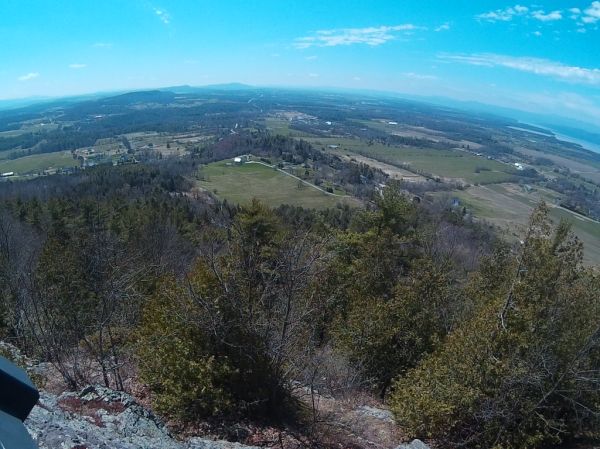
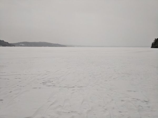









Inventory source: USGS PAD-US 4.1. Photos are public-domain or Creative Commons via Wikimedia Commons, credited per image. Official reservations and rules remain state-specific, so use the state booking links before committing to dates.
Frequently asked questions
What is the best national park in Vermont?
Vermont has no national park. The outdoor scene runs on state land instead: more than 50 state parks plus the roughly 400,000-acre Green Mountain National Forest, which carries much of the Long Trail and the Appalachian Trail. For first-timers, Camel's Hump and Mount Mansfield (reached via Underhill State Park) are the standout summit hikes, and Quechee State Park's gorge is the easiest big payoff.
When is the best time to visit Vermont parks?
Fall is the signature season. Peak foliage typically runs late September through mid-October, starting earlier in the higher-elevation Northeast Kingdom and lingering in the southern valleys into late October. Summer (highs often in the 70s to low 80s F) is excellent for hiking, swimming, and lean-to camping, though the best fall campsites can book up within minutes of the reservation window opening.
How hard is it to hike Camel's Hump or Mount Mansfield?
Both are full-day, strenuous climbs rather than casual walks. Camel's Hump tops out just over 4,000 feet and Mount Mansfield reaches 4,393 feet, Vermont's highest, with steep, rocky, often wet trails near the summits. Waterproof boots with good tread and trekking poles make a real difference, and you should carry a warm layer and wind shell because the summits are noticeably colder and windier than the trailhead.
Do I need a car to explore Vermont's outdoor areas?
Yes. Trailheads and state parks are spread across rural valleys and mountain roads, and public transit does not reach them. Fly into Burlington (BTV), rent a car, and use Interstate 89 and US-4 to connect areas; Stowe and Mount Mansfield are under an hour away, while Killington and the southern Green Mountains run closer to two hours.