Destinations
Massachusetts outdoors
Massachusetts packs Berkshire summits, deep state forests, and Cape Cod's dune-and-pond coast into a state you can cross in a half-day drive.
Top parks in Massachusetts
See all 154 parks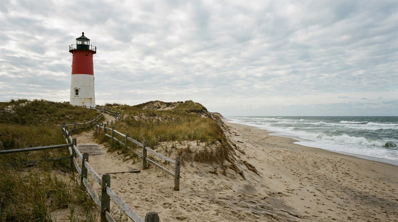
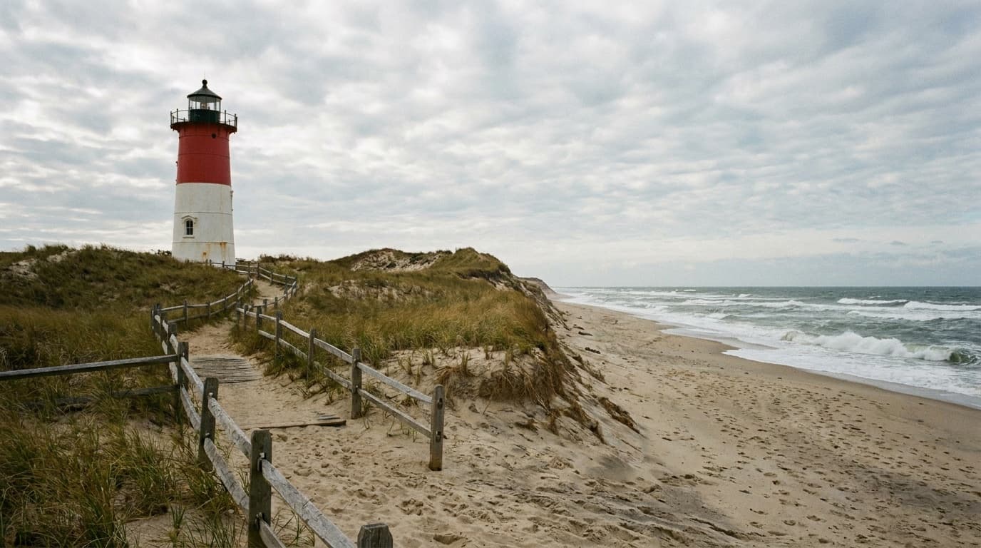
Cape Cod National Seashore
Forty miles of protected Atlantic beach, kettle ponds, bike trails, and historic lighthouses. There is no camping inside the seashore itself, so plan to camp or stay in the surrounding towns.
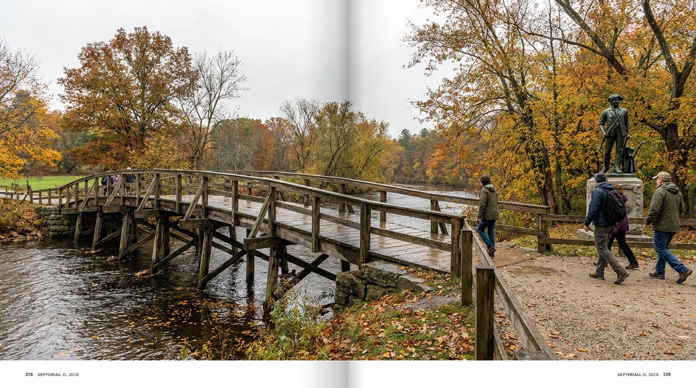
Minute Man National Historical Park
The opening battlefield of the American Revolution, where the Battle Road Trail traces the April 19, 1775 fighting from Lexington to Concord's Old North Bridge.
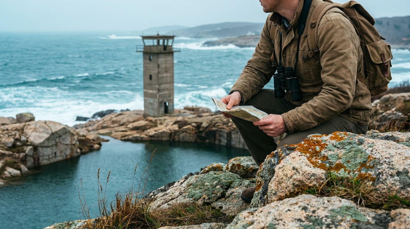
Halibut Point State Park
A 67-acre headland on Cape Ann's northern tip where 440-million-year-old Rockport granite meets the open Atlantic, with a flooded granite quarry, a WWII fire control tower, tide pools, and views stretching to Maine.
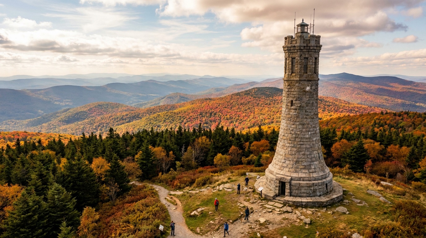
Mount Greylock State Reservation
Massachusetts' highest peak at 3,491 feet: a seasonal summit auto road, the War Memorial Tower, an Appalachian Trail crossing, Bascom Lodge, and primitive camping.
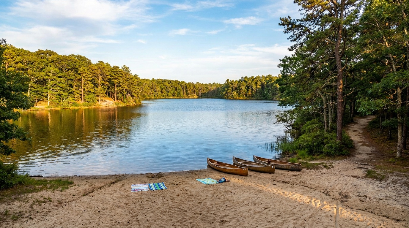
Nickerson State Park
Cape Cod's biggest campground park: 2,000 wooded acres of kettle ponds for swimming and paddling, plus a bike path link to the 26-mile Cape Cod Rail Trail.
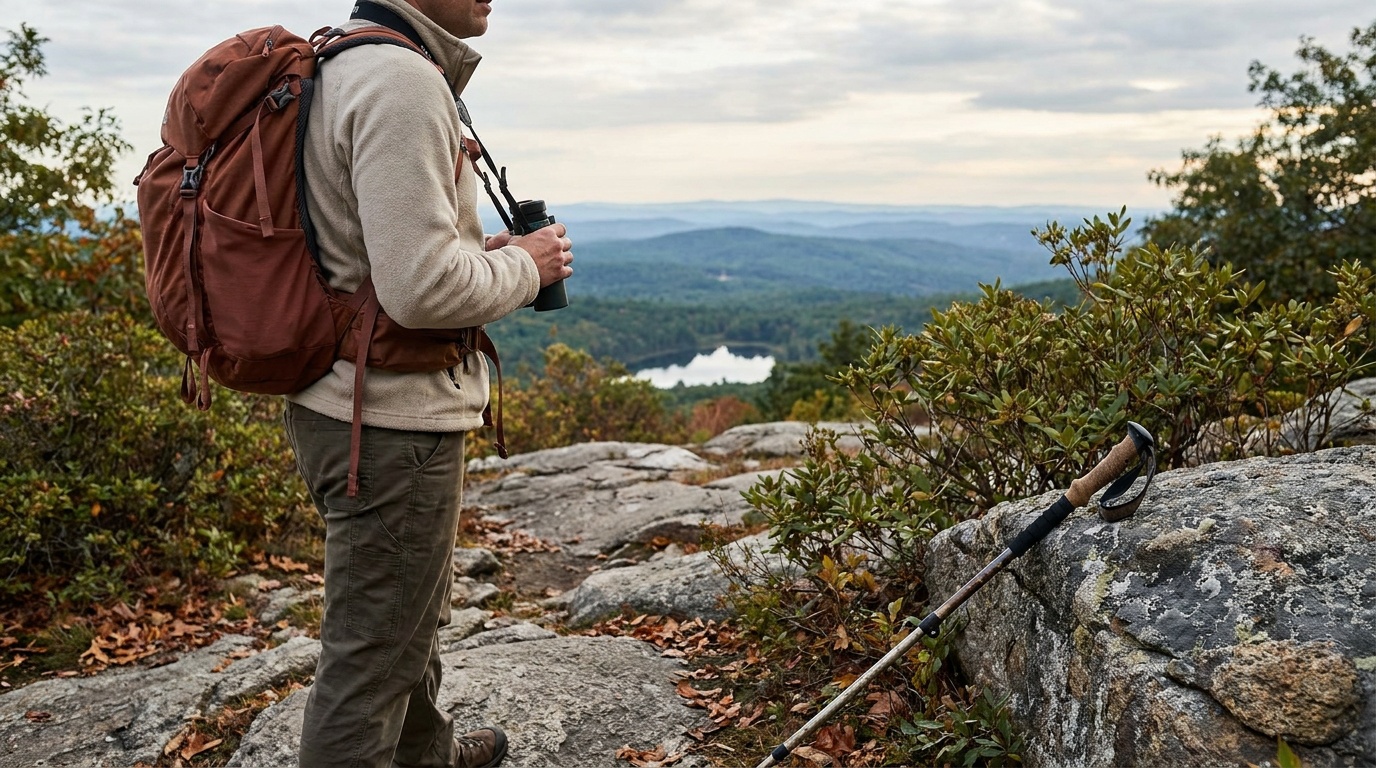
Wachusett Mountain State Reservation
The highest summit in Massachusetts east of the Connecticut River at 2,006 feet, with 17 miles of trail through 3,000 acres of hardwood forest, 360-degree summit views, a hawk watch, and an adjacent alpine ski area.
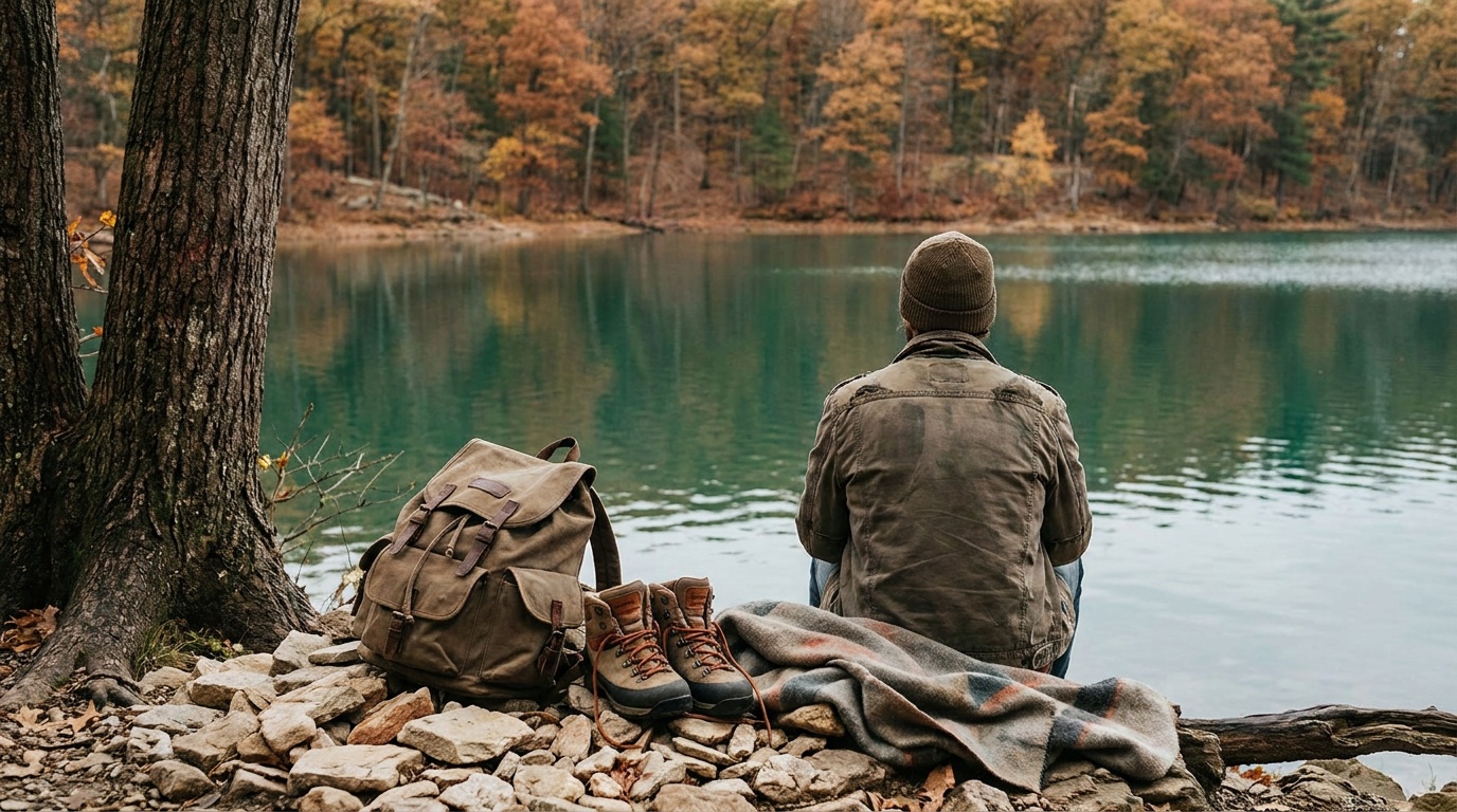
Walden Pond State Reservation
The 102-foot-deep glacial kettle pond where Henry David Thoreau lived for two years and wrote Walden, now a swimming and hiking reservation in Concord drawing half a million visitors a year.

Blue Hills Reservation
The Blue Hills Reservation stretches over 7,000 acres from Quincy to Dedham, with 125 miles of trails, varied terrain, and scenic views including 635-foot Great Blue Hill.

Horseneck Beach State Reservation
Swim and camp at one of the most popular beaches in Massachusetts, a 2-mile beach at the western end of Buzzards Bay that is also great for bird watching.
Planning a Massachusetts trip
Massachusetts is a small state with a surprisingly wide outdoor range. In the west, the Berkshires rise into the highest ground in the state, topped by Mount Greylock and its 50-plus miles of trail and five-state summit view. Big state forests like October Mountain, Mohawk Trail, and Savoy Mountain spread across thousands of acres of ridge, hollow, and waterfall (Savoy's Tannery Falls drops about 50 feet through a chasm). Head east and the terrain mellows into the kettle ponds and pine woods of Nickerson State Park on Cape Cod, while the federally managed seashore on the outer Cape trades forest for dunes, marsh, and open Atlantic.
If you want the postcard version, go in early to mid October. Peak foliage hits the Berkshires and central hills first, usually late September into early October, then rolls east, with the coast and Cape Cod holding color into late October. Summer is prime for swimming the Cape's freshwater ponds and paddling the western forests; spring brings full waterfalls and quieter trails. Winter turns the bigger forests into cross-country ski and snowshoe country.
The packing through-line is layers and adaptability. A Greylock summit in October can sit 15 to 20F colder than the trailhead, so a wind shell and an insulating layer earn their place even on a clear day. Trails range from smooth pond loops to rocky Berkshire grades, so a real trail shoe beats a sneaker. On the Cape, swap the warm layers for sun protection, bug spray for the marsh edges, and sandy-trail-friendly footwear. Carry water everywhere: the western forests have long stretches between reliable sources, and the Cape gets hot and exposed fast.
Getting around Massachusetts
Boston Logan (BOS) is the main air hub and the practical front door for almost any trip. From there it is a short hop east to the Cape, roughly 75 to 80 miles and about 1.5 to 2 hours to the Cape Cod beaches depending on bridge traffic, which gets heavy on summer weekends. Bradley International (BDL) just over the Connecticut line near Hartford is often the closer flight if the Berkshires are your goal.
Driving is by far the easiest way to link the outdoor areas, since trailheads and campgrounds sit well outside transit reach. The state is compact: Boston to the Berkshires and Mount Greylock runs about 2.5 to 3.5 hours west on the Mass Pike (I-90), and the scenic Mohawk Trail (Route 2) is the slower, prettier alternative through Mohawk Trail and Savoy Mountain state forests. Within the Berkshires, the big forests cluster close together, so October Mountain, Beartown, and Greylock are all within an hour of one another.
A rough mental map: the Berkshires anchor the far west, the central hills (think Mount Wachusett country) sit about an hour west of Boston, and the Cape stretches southeast off the mainland. Crossing the whole state, west to coast, is a half-day drive of around 4 hours, which makes a Berkshires-plus-Cape trip doable in a single visit if you do not mind a long transit day in the middle.
All 7 Massachusetts park guides
State park directory
Every Massachusetts state park
A source-backed inventory layer for planning breadth. Full Kit Authority guides are marked when a park has camping detail, rules, and packing notes; the rest link straight to the official page. Looking for rail trails and state trails? They have their own Trail Guide.
148 parks
5 full guides · 116 with photos
Halibut Point State Park
State Park
Halibut Point is a granite edge between the Atlantic Ocean and mainland, where visitors can explore trails and tide pools, picnic on rocky ledges, and learn quarry and World War II history.
- Hiking
- Fishing
- Wildlife Viewing
- Picnicking
Massachusetts DCR
Full guideMount Greylock State Reservation
State Reservation
At 3,491 feet, Mount Greylock is the highest point in Massachusetts, and from its peak on a clear day you can see as far as 90 miles away.
- Hiking
- Camping
- Winter Sports
- Hunting
Massachusetts DCR
Full guideNickerson State Park
State Park
The 1,900-acre Nickerson State Park in Brewster on Cape Cod offers wooded trails, ponds to explore, and more than 400 campsites.
- Camping
- Fishing
- Hiking
- Biking
Massachusetts DCR
Full guideWachusett Mountain State Reservation
State Reservation
The 3,000-acre reservation offers trails for hiking and biking, winter skiing, and scenic views from the 2,006-foot peak.
- Hiking
- Biking
- Hunting
- Winter Sports
Massachusetts DCR
Full guideWalden Pond State Reservation
State Reservation
Experience the nature that inspired Henry David Thoreau's Walden, with swimming, walking around the pond, boating, and a replica of Thoreau's cabin.
- Swimming
- Hiking
- Fishing
- Boating
Massachusetts DCR
Full guideAlewife Brook Reservation
State Reservation
This sprawling urban forest is filled with wetlands and a variety of birds, with limited trails offering a rare side of nature without leaving the city.
- Fishing
- Hiking
- Playground
Massachusetts DCR
Official pageAmes Nowell State Park
State Park
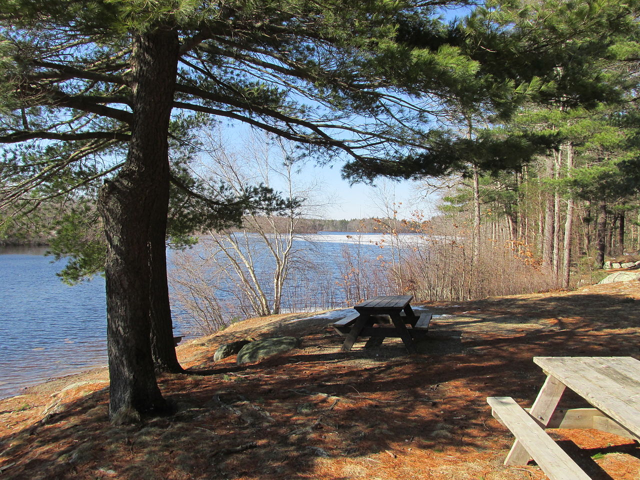
Ames Nowell is open year-round for daytime recreation, with Cleveland Pond popular for boaters and fishermen and several miles of trails through surrounding woods.
- Hiking
- Fishing
- Boating
- Paddling
Massachusetts DCR
Official pageAshland State Park
State Park
Ashland State Park spans 470 acres of forest with a popular 3.5-mile reservoir hiking trail, offering hiking, swimming, fishing, mountain biking, and boating.
- Hiking
- Biking
- Boating
- Paddling
Massachusetts DCR
Official pageBash Bish Falls State Park
State Park
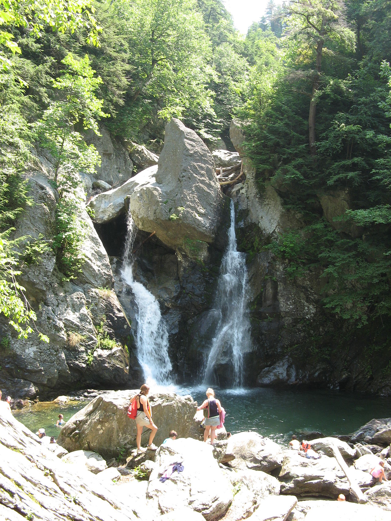
Bash Bish Falls State Park offers scenic viewing of the Commonwealth's largest waterfall, where Bash Bish Brook drops about 60 feet into an emerald plunge pool.
- Hiking
Massachusetts DCR
Official pageBeartown State Forest
State Forest
This 12,000-acre forest is a year-round destination where visitors can swim, boat, or fish in Benedict Pond and cross-country ski or snowmobile in winter.
- Hiking
- Horseback Riding
- Biking
- Paddling
Massachusetts DCR
Official pageBeaver Brook Reservation
State Reservation
Beaver Brook Reservation is 59 acres of open fields and woodlands, where ponds and a waterfall make the north section a place for a walk or picnic.
- Biking
- Fishing
- Hiking
- Playground
Massachusetts DCR
Official pageBelle Isle Marsh
State park system area
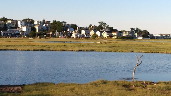
Belle Isle Marsh is Boston's largest remaining salt marsh, a natural oasis in the city offering unique views of plants, wildlife, and the Boston skyline.
- Hiking
- Picnicking
- Wildlife Viewing
Massachusetts DCR
Official pageBlackstone River and Canal Heritage State Park
State Park
The Blackstone River features 1,000 acres of natural park filled with trails and historical sites, including the historic River Bend Farm in Uxbridge.
- Hiking
- Biking
- Horseback Riding
- Paddling
Massachusetts DCR
Official pageBlue Hills Reservation
State Reservation
The Blue Hills Reservation stretches over 7,000 acres from Quincy to Dedham, with 125 miles of trails, varied terrain, and scenic views including 635-foot Great Blue Hill.
- Hiking
- Horseback Riding
- Camping
- Swimming
Massachusetts DCR
Official pageBorderland State Park
State Park
Borderland State Park features a historic mansion open for tours, plus trails for hiking, biking, and horseback riding, fishing and boating in the pond, and disc golf.
- Hiking
- Paddling
- Disc Golf
- Fishing
Massachusetts DCR
Official pageBoston Harbor Islands
State park system area
Explore 13 islands of Boston Harbor accessible by ferry in summer, where visitors can camp on Peddocks Island, swim at Spectacle Island, and hike wild landscapes near Boston.
- Hiking
- Boating
- Paddling
- Swimming
Massachusetts DCR
Official pageBradley Palmer State Park
State Park
This former estate features 721 acres of pine needled paths and sunny rolling meadows for hiking, biking, and horseback riding.
- Hiking
- Biking
- Paddling
- Horseback Riding
Massachusetts DCR
Official pageBreakheart Reservation
State Reservation
Breakheart Reservation includes two lakes and a large forest, with a trail system climbing to vistas and supervised summer swimming at Pearce Lake.
- Hiking
- Biking
- Horseback Riding
- Swimming
Massachusetts DCR
Official pageBrimfield State Forest
State Forest
This rolling forest has over 20 miles of roads and trails for hiking, walking, and horseback riding, plus fishing, hunting, and snowmobiling in winter.
- Hiking
- Horseback Riding
- Biking
- Fishing
Massachusetts DCR
Official pageC.M. Gardner State Park
State Park
Enjoy a relaxing day by the water in the rolling Berkshire foothills, walking or picnicking along the Westfield River East Branch, fishing, or paddling a canoe or kayak.
- Hiking
- Paddling
- Fishing
- Hunting
Massachusetts DCR
Official pageCallahan State Park
State Park
With over 800 acres of park land, Callahan offers open fields, ponds, and 7 miles of marked trails used primarily for hiking, horseback riding, and mountain biking.
- Hiking
- Horseback Riding
- Biking
- Fishing
Massachusetts DCR
Official pageCharles River Reservation
State Reservation
This 20-mile reservation stretches along the Charles River and offers picnics, playgrounds, sports fields, boating, and bike paths.
- Hiking
- Biking
- Boating
- Paddling
Massachusetts DCR
Official pageChestnut Hill Reservation
State Reservation
Enjoy a walk, jog, or bike ride on the 1.5-mile paved trail around the Chestnut Hill Reservoir, plus the Riley Rink and Pool for summer and winter recreation.
- Biking
- Fishing
- Swimming
Massachusetts DCR
Official pageChicopee Memorial State Park
State Park
Swim, fish, or picnic by the pond at Chicopee Memorial State Park in summer, or enjoy hiking and biking on the trails year-round.
- Hiking
- Biking
- Fishing
- Swimming
Massachusetts DCR
Official page






Inventory source: USGS PAD-US 4.1. Photos are public-domain or Creative Commons via Wikimedia Commons, credited per image. Official reservations and rules remain state-specific, so use the state booking links before committing to dates.
Frequently asked questions
What is the best time of year to visit Massachusetts parks?
Early to mid October is the standout window, when fall foliage peaks across the Berkshires and central hills and then rolls toward the coast through late October. Summer is best for swimming the Cape Cod kettle ponds and paddling the western forests, while spring delivers full waterfalls and emptier trails. Winter opens the larger state forests for cross-country skiing and snowshoeing.
Does Massachusetts have a national park, and what should I see instead?
Massachusetts has no traditional national park, but the outdoor highlights are easy to find. For mountains and big views, head to Mount Greylock State Reservation and the surrounding Berkshire state forests like October Mountain, Mohawk Trail, and Savoy Mountain. For coast, Nickerson State Park and the federally managed seashore on outer Cape Cod cover the dunes, ponds, and Atlantic shoreline.
Is the Berkshires or Cape Cod better for hiking?
The Berkshires offer the more classic hiking, with real elevation, summit views from Mount Greylock, and waterfalls like Bash Bish and Savoy's Tannery Falls. Cape Cod is gentler and flatter, built around pond loops, wooded trails at Nickerson, and dune walks near the shore. Choose the Berkshires for a workout and big scenery, the Cape for easy, family-friendly miles paired with swimming.