When to go
Weather, crowds, and what the season changes about the trip.
Spring
Cool and muddy, with the summit road usually closed until late May and lingering snow up high.
Pack Waterproof boots, layers, and a plan for a closed summit road early in the season.
Summer
Mild on top and noticeably cooler than the valley, with the road and lodge open.
Pack A warm layer for the breezy summit, water, and footwear for rocky trails.
Fall
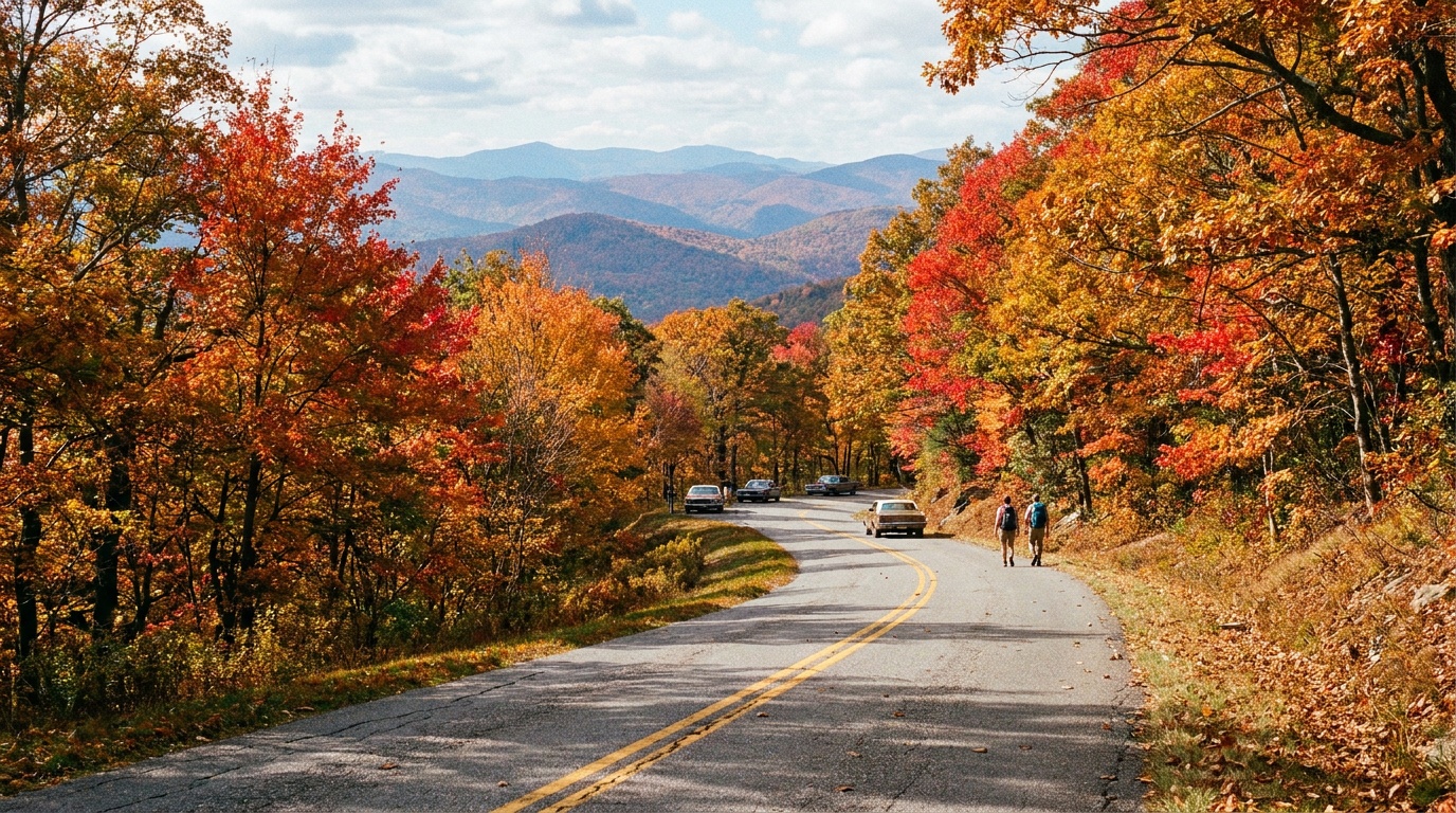
Crisp and brilliant, with peak Berkshire color in early October and the best long views.
Pack Warm layer, wind protection, and an early start before the summit lot fills.
Winter
Cold, snowy, and quiet, with the auto road closed and the summit reachable only on foot or ski.
Pack Full winter insulation, traction or snowshoes, and self-sufficient winter judgment.
Top things to do
Summit and the Veterans War Memorial Tower
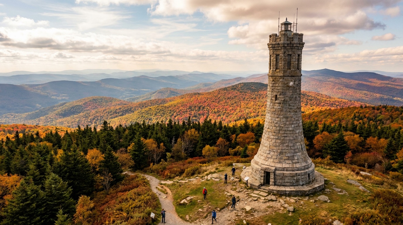
The 3,491-foot high point of Massachusetts, topped by a 92-foot granite tower with an observation level. On a clear day the view reaches across five states. Drive up the seasonal auto road or hike to it.
Appalachian Trail to the summit
The AT crosses the summit, and routes like the Hopper or the Cheshire Harbor Trail climb through northern hardwood and red spruce forest to the top. A real mountain hike with sustained climbing.
Bascom Lodge
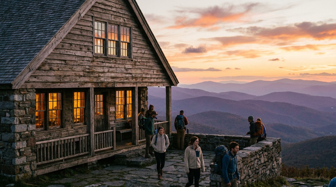
A rustic 1930s stone-and-wood lodge at the summit, with meals and overnight rooms or bunks in season. A welcome base for sunrise, sunset, or a tired hiker.
Anchor the day around Summit and the Veterans War Memorial Tower
Check road and trail status before committing to the high-country version of the plan. For one day in Mount Greylock State Reservation, make Summit and the Veterans War Memorial Tower the non-negotiable, add Appalachian Trail to the summit only if the first stop runs clean, and keep Bascom Lodge as the flexible finish.
- 1Start with Summit and the Veterans War Memorial Tower: The 3,491-foot high point of Massachusetts, topped by a 92-foot granite tower with an observation level. On a clear day the view reaches across five states. Drive up.
- 2Add Appalachian Trail to the summit: The AT crosses the summit, and routes like the Hopper or the Cheshire Harbor Trail climb through northern hardwood and red spruce forest to the top. A real mountain.
- 3Use Bascom Lodge as the optional finish, not as a reason to rush the whole day.
Plan your trip
Turn Mount Greylock State Reservation's conditions into water, pack, and sleep-system decisions.
Build around conditions
Let season, elevation, and weather set the plan.
Plan your trip
4 quick tools, already seeded for Mount Greylock State Reservation. Tune the numbers around temperature swings, footing, layers, and how much margin the route needs.
What to pack
Start with the gear decisions this park changes: footing, weather, camping, and water.
Kit Authority
Mount Greylock State Reservation packing list
0 of 20 packed. Check items as you pack, then take this list to the store, trailhead, or campsite.
Pack planning
Decide what Mount Greylock State Reservation asks of your kit before you start checking boxes.
Use this as a constraint check while you are still shaping the trip. The active checklist becomes useful once your route, dates, and sleep plan are set.
- First constraintHydration and exposureWater, hat, sunscreen, sunglasses, Navigationmap, downloaded GPS, or a GPS watch, 3 more
- Route realityFooting and tractionHiking boots, Hiking socks, Trekking poles
- Load choicePack and carry systemBackpacking pack
- If overnightSleep and shelterBackpacking tent, Sleeping bag, Sleeping pad, 1 more
Checklist mode
20 items, grouped for the trip you are actually taking.
- Dates and season are set.
- Primary route, campground, or lodge is chosen.
- Water, footwear, and overnight needs are sized.
One researched pick
The first gear decision for Mount Greylock State Reservation
A stable daypack is the one purchase that organizes water, layers, food, first aid, and the small safety margin.
We may earn a commission from links on this page, at no extra cost to you.
THE DAY-HIKE PICK
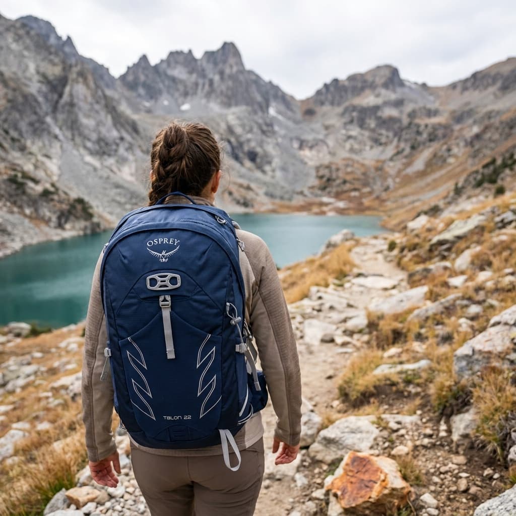
Osprey Talon 22
- Volume
- 22 L
- Weight
- 2 lb 1 oz (945 g)
- Back Panel
- AirScape foam with ventilation channels
- Hipbelt Pockets
- 2 zippered
- Hydration
- Compatible up to 3 L reservoir (sold separately)
- Warranty
- All Mighty Guarantee (lifetime repair or replace)
The Talon 22 is the daypack you see on the trail more than any other for good reason: it packs in a padded hipbelt, adjustable torso harness, and dual hipbelt pockets into a 22-liter package that handles loads up to 20 lb without complaint. Owners across hundreds of Amazon ratings consistently cite its adjustability and durability as standouts.
- Adjustable torso fit covers a wide range of body sizes
- Padded hipbelt and dual hipbelt pockets at this size are rare
- At 2 lb 1 oz it runs heavier than ultralight rivals for the same volume
Best for
Hikers who want a proven all-around daypack with solid load support, plenty of adjustment, and a warranty they can actually use.
Gear for Mount Greylock State Reservation
The buying guides that match what Mount Greylock State Reservation asks of your kit, with our current top picks across budget and use case.
Where to stay
For an overnight on the mountain, the historic Bascom Lodge at the summit offers rooms and bunks in season, or you can backpack to the primitive Sperry Road campground partway up. Down in the valley, North Adams, Williamstown, and Lanesborough have inns and restaurants, with the wider Berkshires nearby for a longer trip.
Camping reservations
Camping reservations
Camping here is primitive and hike-in; the lodge is the comfortable option.
Mount Greylock's camping is the rustic Sperry Road campground, a hike-in experience in spruce forest about two miles from the summit. For a roof, Bascom Lodge at the top has rooms and bunks in season.
Reviewed June 11, 2026
Booking window
Massachusetts DCR camping reserves through ReserveAmerica. Confirm the seasonal open window and the hike-in access for Sperry Road before planning.
- Sperry Road is a primitive, hike-in campground with no hookups, set under a mature red spruce forest. Camping fees differ for Massachusetts residents and non-residents.
- Bascom Lodge at the summit is a separate operation, open roughly mid-May through mid-October, booked directly for rooms, bunks, and meals.
- The summit auto road is closed in winter and often until late May, so check road status before counting on driving up.
Where to book or verify
Official Massachusetts DCR page with summit road status, hours, and facilities.
Massachusetts DCR ReserveAmerica camping portal.
Check for federal campground, backcountry, tour, and permit inventory tied to this park.
Campgrounds to know
Sperry Road Campground
Details- Booking
- Reserve through Massachusetts DCR on ReserveAmerica.
- Season
- Seasonal.
- Sites
- Primitive hike-in sites with no hookups, plus group camping, under red spruce forest.
- A quiet, rustic base about two miles from the summit; carry in your gear and water.
Bascom Lodge
Details- Booking
- Book directly with the lodge.
- Season
- Roughly mid-May to mid-October.
- Sites
- Private rooms and bunkrooms with on-site meals at the summit.
- The comfortable summit option for sunrise, sunset, or a tired hiker.
Getting there and practical info
Plan the last mile as carefully as the destination.
Airports, roads, entrances, and local movement belong in the same plan.
Getting there
Get to Mount Greylock State Reservation, then move through the park without wasting the day.
- Access rhythm
- Plan the last mile
- Region
- Massachusetts
Arrival note
Mount Greylock rises in the northern Berkshires near Lanesborough and North Adams, in far western Massachusetts.
Car strategy
The seasonal Scenic Byway auto road climbs to the summit from either Lanesborough or North Adams, but vehicles longer than about 22 feet are prohibited on the summit road.
Car strategy
Check whether the road is open, since it is closed in winter and often until late May.
Pair this with lodging: the simplest base is the one that removes a real morning problem, not just the one nearest the map pin.
Can you photograph here? Permit and drone rules
Massachusetts permits shoot by shoot through towns and agencies; DCR issues the state parks photography and film permits, with a $1 million insurance requirement.
- Permit
- Usually fine for personal shoots; commercial or large productions can need a permit
- Drones
- Commercial drone work requires FAA Part 107
- Land
- Yes: you can photograph what is visible from public space in the US
From our photography sister site, Aperture Authority. Verified 2026-07-01.
Frequently asked questions
Can you drive to the top of Mount Greylock?
Yes, in season. A paved Scenic Byway auto road climbs to the summit from Lanesborough or North Adams, but it is closed in winter and often until late May, and vehicles longer than about 22 feet are not allowed. Check the road status before relying on it.
How high is Mount Greylock?
Mount Greylock is 3,491 feet, the highest point in Massachusetts. From the summit on a clear day, the view can reach as far as 90 miles across five states, and a 92-foot war-memorial tower adds an observation level.
Can you camp on Mount Greylock?
Yes, but the camping is primitive. The Sperry Road campground is a hike-in experience with no hookups, about two miles from the summit. For a roof, Bascom Lodge at the top offers rooms and bunks in season.
Is there an entrance fee for Mount Greylock?
There is no general entrance fee for the reservation. Camping and lodge stays are charged separately, and the summit auto road and most facilities run on a seasonal schedule, roughly late May to October.