Rail trail · Massachusetts
Norwottuck Rail Trail
An 11-mile paved rail-trail through the Pioneer Valley, connecting Northampton and Amherst via Hadley farmland, with a landmark bridge over the Connecticut River.
Length
11 miles
Surface
Paved
Route
Point to point
Endpoints
Northampton to Amherst (Belchertown Road area)
Season
Year-round; the paved surface is maintained and passable in most weather. Spring and fall are especially scenic in the Pioneer Valley. Summer is busy with college-town users.
Plan your ride or walk
The Norwottuck Rail Trail is the centerpiece of the Pioneer Valley's trail network, an 11-mile paved corridor that crosses the Connecticut River on a converted railroad bridge and threads through prime agricultural land in Hadley before reaching Amherst. The trail follows the route of the New Haven and Northampton Railroad, whose name is still legible in some of the old infrastructure. It is one of the most-used rail-trails in New England, drawing a steady mix of students, commuters, and recreational users thanks to its position between Northampton and five college campuses in Amherst. The Connecticut River bridge crossing is the visual highlight, offering open views up and down the river valley. The trail connects to additional paths in both Northampton and Amherst, enabling longer rides into each downtown.
Getting there
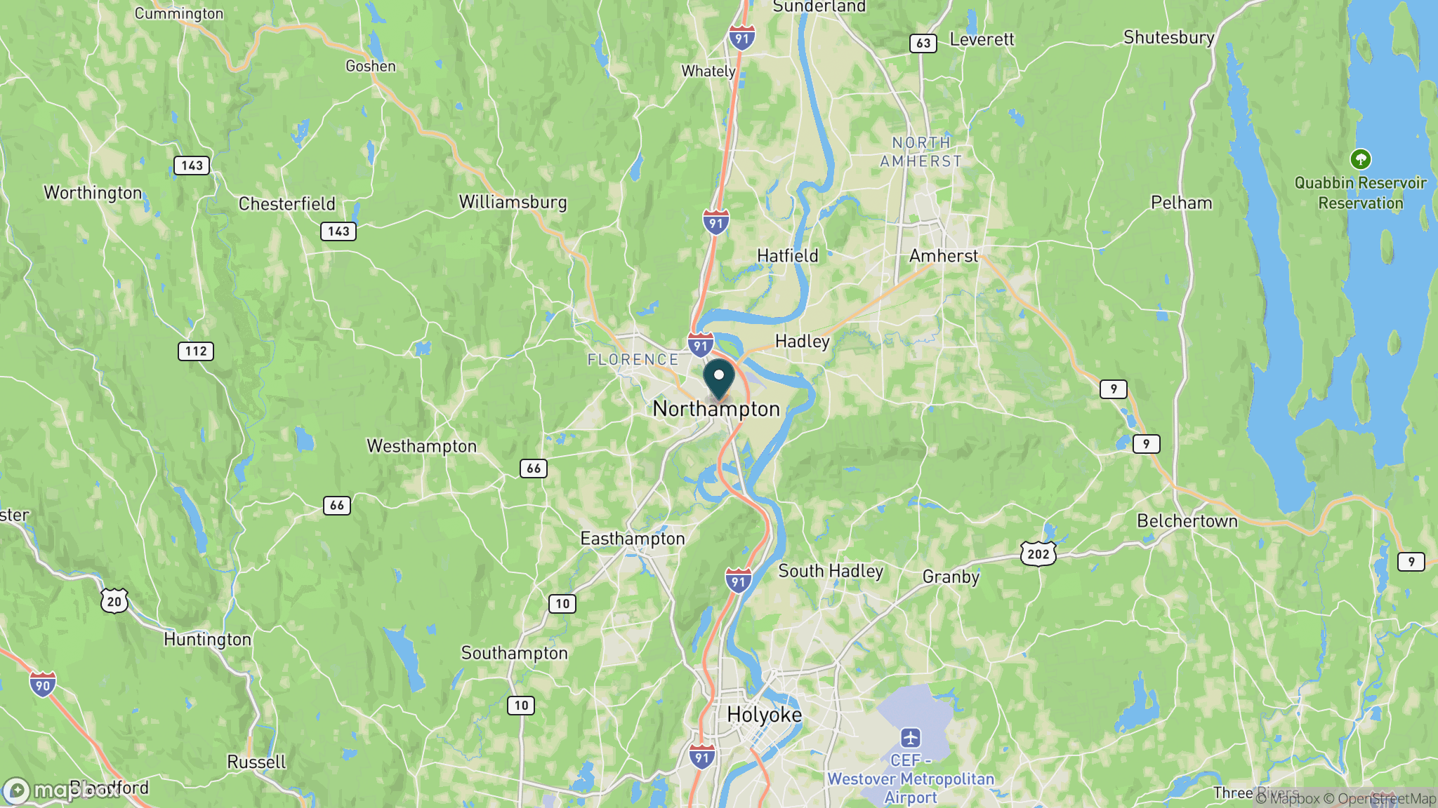
The western trailhead is near the junction of Routes 9 and 5 in Northampton, about 90 miles west of Boston and 30 miles north of Springfield. Trailhead parking is available in Northampton and in Hadley. The Amherst end has parking off Belchertown Road near the Stop and Shop plaza. The trail is part of the DCR trail system.
Official trail information
Confirm current conditions, closures, and any required trail pass on the managing agency’s page.
Massachusetts DCR: Norwottuck Rail TrailWhat to bring
Gear keyed to a long, flat trail day: footwear, hydration, sun protection, and a pack sized for the distance.
Frequently asked questions
How long is the Norwottuck Rail Trail?
The Norwottuck Rail Trail is about 11 miles long, running point to point from Northampton to Amherst on a paved, flat former-railroad corridor. The full out-and-back is 22 miles, a comfortable half-day trip for most cyclists.
Where does the Norwottuck Rail Trail cross the Connecticut River?
The trail crosses the Connecticut River on a converted railroad bridge in Hadley, roughly in the middle of the route. The bridge provides open views of the river valley and is one of the most photographed features of the trail.
Is the Norwottuck Rail Trail busy?
Yes, it is one of the most heavily used rail-trails in Massachusetts, particularly on weekends and in good weather, due to its location between Northampton and Amherst's five college campuses. Expect company on busy days, especially on the Hadley bridge.
Does the trail connect to downtown Northampton and Amherst?
Yes. The Northampton end connects via local paths and roads to the downtown area. The Amherst end is on the edge of town and is bikeable to the Amherst common and UMass Amherst campus in about 15 minutes.
More Massachusetts trails
Looking for parks instead? Browse state parks by state.