Rail trail · Massachusetts
Nashua River Rail Trail
An 11-mile paved rail-trail managed by the Massachusetts DCR, connecting Ayer, Groton, Pepperell, and Dunstable on a former railroad corridor with scenic river views and fall foliage.
Length
11 miles
Surface
Paved
Route
Point to point
Endpoints
Ayer to Dunstable (New Hampshire state line)
Season
Open year-round, sunrise to sunset; fall foliage from mid-October through early November is the trail's most popular season
Plan your ride or walk
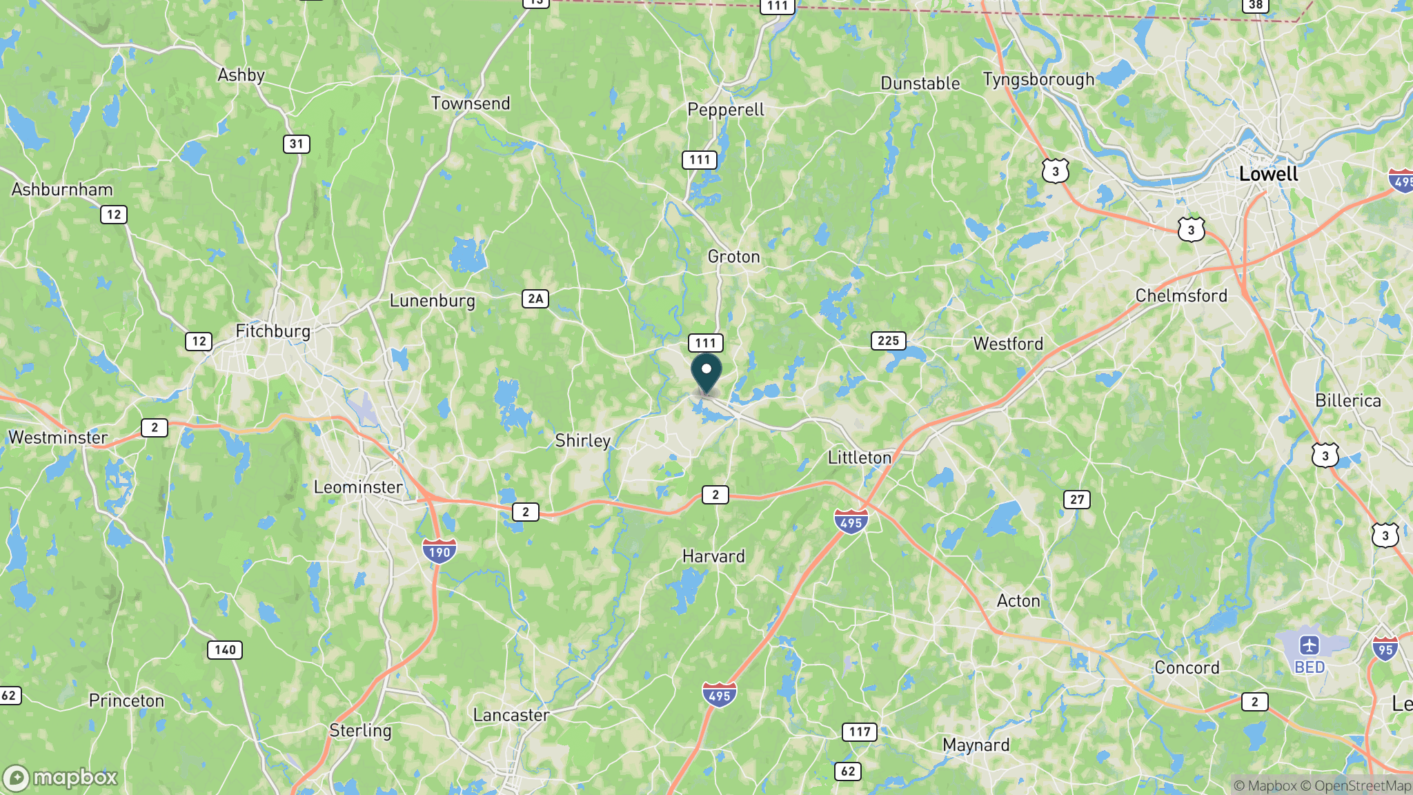
The Nashua River Rail Trail runs 11 paved miles from the town of Ayer north through Groton and Pepperell to the New Hampshire state line near Dunstable, managed by the Massachusetts Department of Conservation and Recreation. The trail is a classic New England rail-trail: flat, well-maintained, and accessible from the Ayer MBTA commuter rail station, making it one of the few rail-trails in the country reachable by train without a car. Bicycle repair stations are installed along the route. Parking areas are located in each of the four communities served. The trail is best known for its fall foliage display and easy river views. Cross-country skiing is listed as a permitted winter activity. Pets are welcome, and the path is open dawn to dusk.
Getting there
The southern trailhead is in Ayer Center, accessible by MBTA Fitchburg Line commuter rail from Boston's North Station (Ayer stop). By car, take I-495 to Ayer. Parking is available at Ayer (3 Groton St.), two Groton locations (Court St. and Sand Hill Rd.), Pepperell Square (142 Main St.), and Dunstable (690 Hollis St. near the state line).
Official trail information
Confirm current conditions, closures, and any required trail pass on the managing agency’s page.
Mass DCR: Nashua River Rail TrailWhat to bring
Gear keyed to a long, flat trail day: footwear, hydration, sun protection, and a pack sized for the distance.
What to pack
Plan with our tools
Frequently asked questions
Can you take the train to the Nashua River Rail Trail?
Yes. The southern trailhead is a short walk from Ayer Station on the MBTA Fitchburg commuter rail line from Boston's North Station. Bicycles are permitted on most trains, so car-free access is genuinely practical for day trips from the Boston area.
How long is the Nashua River Rail Trail?
The trail is 11 miles long, running point to point from Ayer to Dunstable near the New Hampshire border. Most users ride out and back from one of the four trailheads in Ayer, Groton, Pepperell, or Dunstable.
What is the surface of the Nashua River Rail Trail?
The trail is fully paved and flat on a former railroad grade, open to bicycles, walking, running, rollerblading, and horseback riding. Bicycle repair stations are installed along the route.
When is the best time to visit the Nashua River Rail Trail?
The trail is open year-round from sunrise to sunset. Fall is the most popular season, with peak foliage typically mid-October through early November. Spring brings wildflowers along the river corridor. Summer mornings are pleasant before midday heat.
More Massachusetts trails
Looking for parks instead? Browse state parks by state.