Length
5 miles
Surface
Paved
Route
Point to point
Endpoints
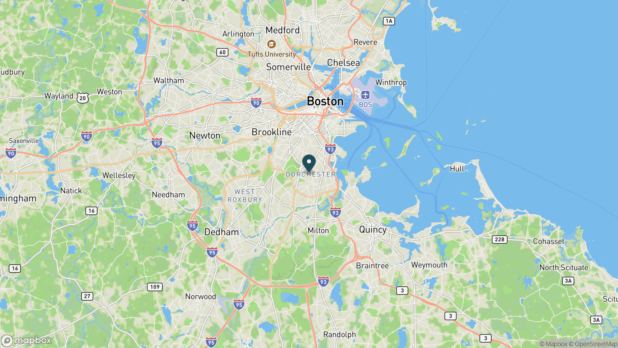
Hallet Street, Dorchester (Boston) to Milton
Season
Year-round; spring and fall offer the best wildlife viewing; summer is popular for family biking
Plan your ride or walk
The Lower Neponset River Trail is a 5-mile paved shared-use path managed by the Massachusetts Department of Conservation and Recreation, running from Hallet Street in Dorchester along the tidal Neponset River into Milton. The trail is transit-accessible and fully accessible, making it one of the more practical urban rail-trails in the Boston metro area. Views of salt marshes and the river's urban wild appear throughout the route, and nearby Pope John Paul II Park Reservation adds green space at the Dorchester end. The trail connects to a broader Neponset River Greenway network. Open dawn to dusk, dogs are welcome on leash. Parking is available at Pope John Paul II Park, and MBTA bus service reaches the Dorchester trailhead.
Getting there
The northern trailhead at Hallet Street in Dorchester is served by MBTA bus routes. By car, parking is available at Pope John Paul II Park Reservation off Gallivan Boulevard in Dorchester. The trail runs south along the river toward Milton, with the Milton end accessible from Route 138.
Official trail information
Confirm current conditions, closures, and any required trail pass on the managing agency’s page.
Mass.gov / DCR: Lower Neponset River TrailWhat to bring
Gear keyed to a long, flat trail day: footwear, hydration, sun protection, and a pack sized for the distance.
Frequently asked questions
How long is the Lower Neponset River Trail?
The trail is 5 miles long, running point to point from Dorchester in Boston into Milton. It connects to additional Neponset River Greenway segments that extend the total rideable network.
Is the Lower Neponset River Trail paved?
Yes. The trail is a fully paved shared-use path, suitable for road and hybrid bikes, walkers, runners, and strollers. It is wheelchair accessible throughout.
Where do you park for the Lower Neponset River Trail?
Parking is available at Pope John Paul II Park Reservation in Dorchester, near the northern trailhead on Hallet Street. The trail is also transit-accessible by MBTA bus, making it practical without a car from many Boston neighborhoods.
Are dogs allowed on the Lower Neponset River Trail?
Yes, leashed dogs are welcome on the trail. The trail is open dawn to dusk.
More Massachusetts trails
All Massachusetts trailsParks near the route
Keep the same state in view with park guides that match this trail’s activities.
Park guide
Cape Cod National Seashore
Forty miles of protected Atlantic beach, kettle ponds, bike trails, and historic lighthouses. There is no camping inside the seashore itself, so plan to camp or stay in the surrounding towns.
Park guide
Nickerson State Park
Cape Cod's biggest campground park: 2,000 wooded acres of kettle ponds for swimming and paddling, plus a bike path link to the 26-mile Cape Cod Rail Trail.
Park guide
Walden Pond State Reservation
The 102-foot-deep glacial kettle pond where Henry David Thoreau lived for two years and wrote Walden, now a swimming and hiking reservation in Concord drawing half a million visitors a year.