Destinations
Michigan outdoors
Two Great Lakes coastlines, towering dunes, Lake Superior cliffs, and a wild island park reachable only by boat or seaplane.
Top parks in Michigan
See all 103 parks
Isle Royale
A roadless Lake Superior island where wolves and moose roam, reached only by ferry or seaplane.
Pictured Rocks National Lakeshore
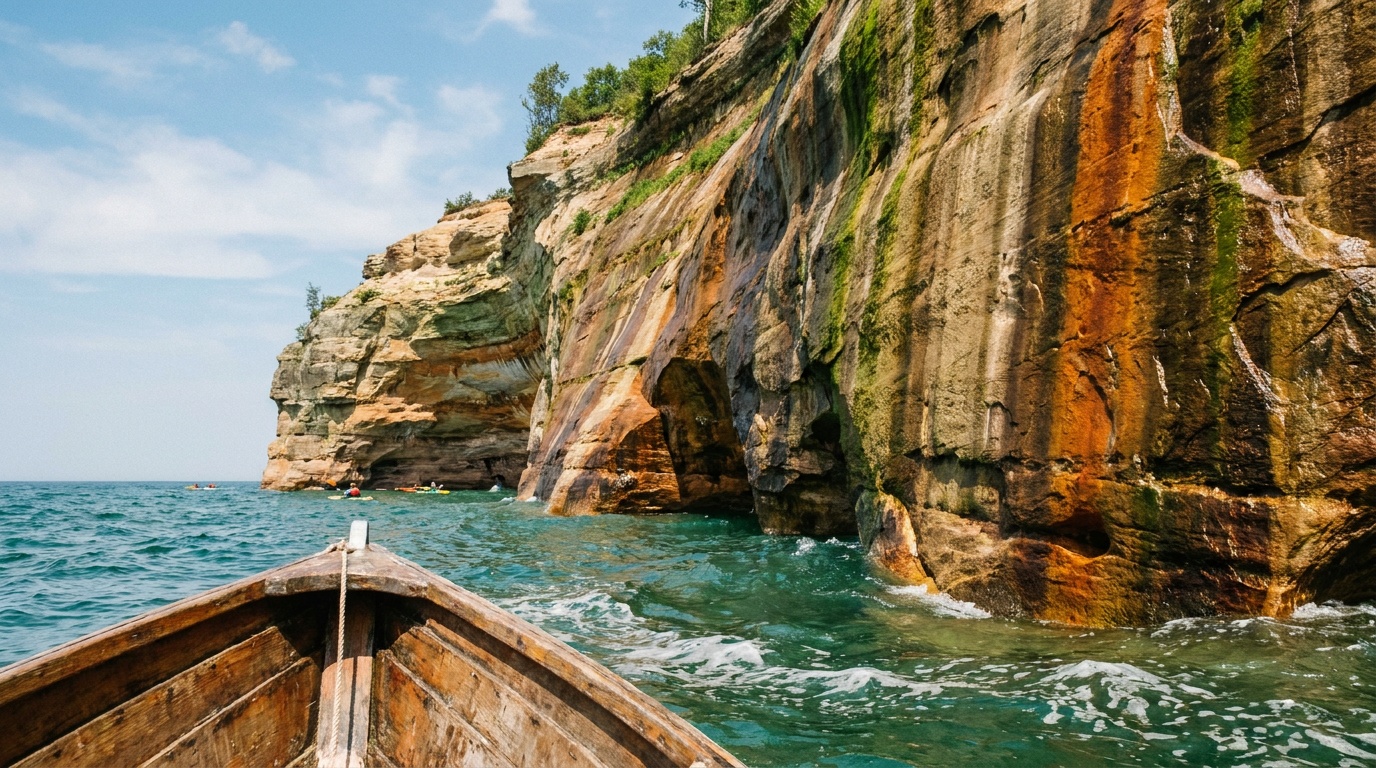
Forty miles of colorful sandstone cliffs, sea caves, and waterfalls along Lake Superior in Michigan's Upper Peninsula, best seen from a Munising boat cruise or the Chapel-to-Mosquito backcountry hike.
Sleeping Bear Dunes National Lakeshore
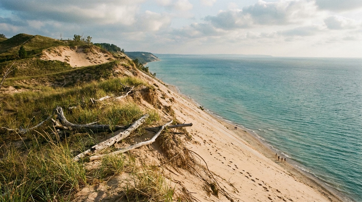
Michigan's Lake Michigan dunescape: towering perched dunes, the Pierce Stocking scenic drive, turquoise water, and two reservable lakeshore campgrounds.
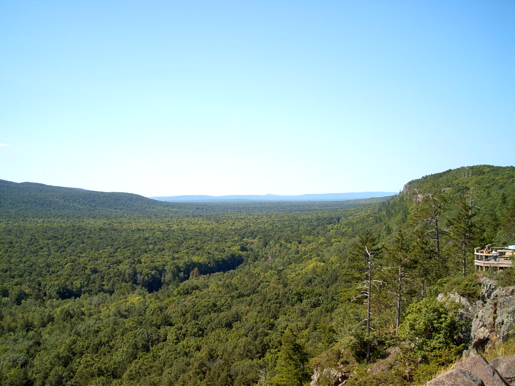
Porcupine Mountains Wilderness State Park
Michigan's largest state park: nearly 60,000 acres of old-growth forest above Lake Superior, the Lake of the Clouds overlook, and rustic cabins and yurts that book far ahead.
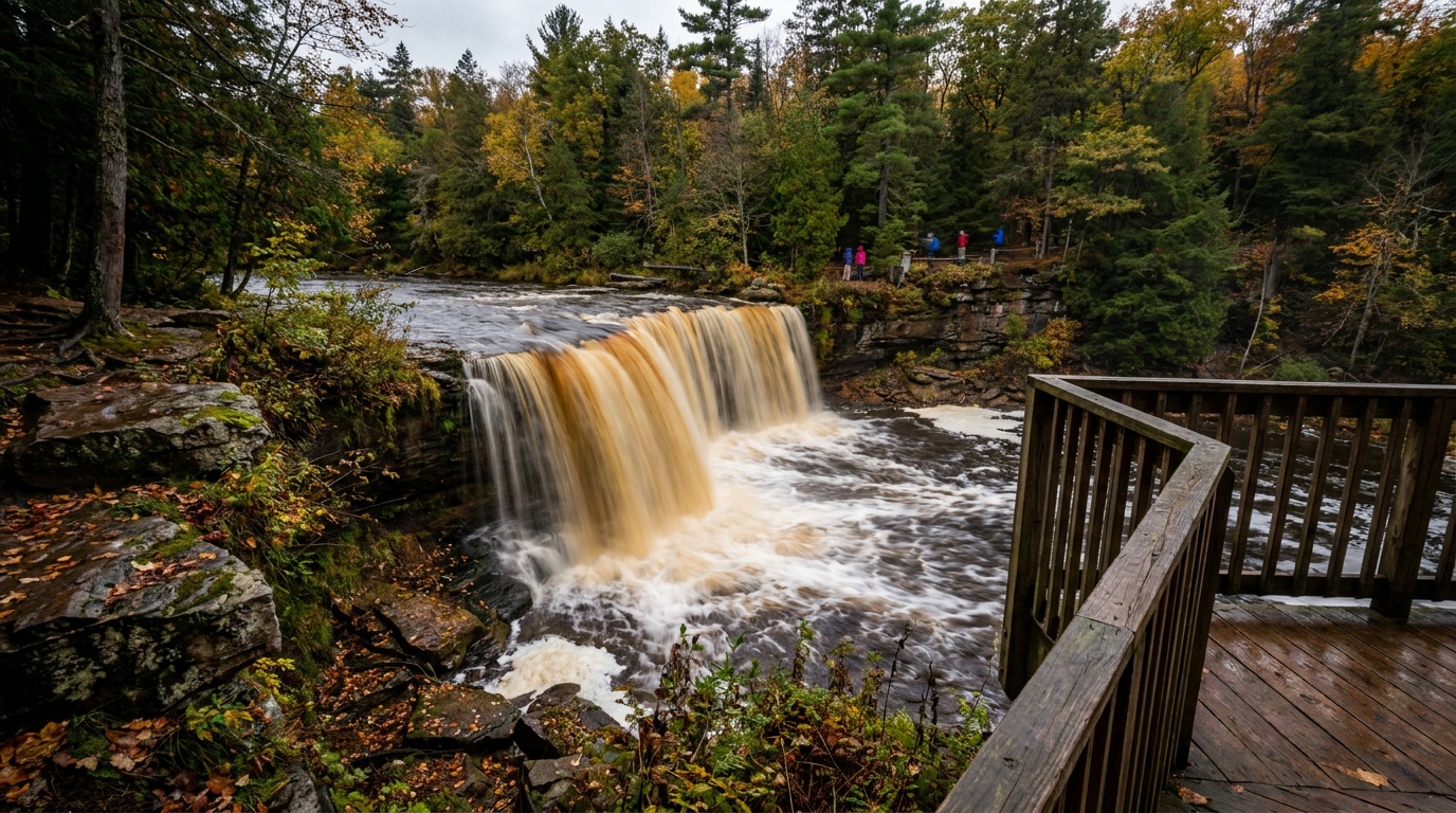
Tahquamenon Falls State Park
Michigan's Upper Peninsula waterfall icon: the amber-colored Upper Falls, a four-mile river hike to the Lower Falls, North Country Trail miles, and reservable campgrounds.

Agate Falls Scenic Site
Considered one of Michigan's most picturesque waterfalls, Agate Falls sits along the middle branch of the Ontonagon River, reached by a half-mile accessible trail to an observation platform.

Albert E. Sleeper State Park
Albert E. Sleeper State Park spans 723 acres of forest, wetlands, forested dunes and half a mile of sandy shoreline along Lake Huron's Saginaw Bay.

Algonac State Park
Algonac State Park is known for views of freighters along the St. Clair River, with a half-mile of riverfront, campgrounds, trails and a 1,200-acre dedicated natural area.

Aloha State Park
Aloha State Park sits along the northeast shore of Mullett Lake near the Straits of Mackinac, with a modern campground, boating access, a swim beach and a protected boat basin.
Planning a Michigan trip
Michigan is built around water. The state touches four of the five Great Lakes, and almost everything worth packing for happens along their shorelines. The Lower Peninsula gives you the classic Lake Michigan scene: rolling dunes that top out around 450 feet, shallow swimming beaches, and small harbor towns. Sleeping Bear Dunes National Lakeshore is the headliner here, with the famous Dune Climb, an easy scenic drive, and calm water around Glen Lake that makes it a friendly pick for families.
Cross the Mackinac Bridge into the Upper Peninsula and the landscape gets wilder. Pictured Rocks National Lakeshore runs along Lake Superior from Munising to Grand Marais, stacking sandstone cliffs, waterfalls, deep forest, and a 42-mile slice of the North Country Trail into one of the best stretches of coast in the Midwest. Day hikers can knock out short waterfall walks like Munising Falls and Miners Falls, while bigger trips tackle cliff-hugging routes like the Chapel Loop. For true solitude, the state's island national park (see the list above) sits far out in Lake Superior and is open only mid-April through mid-October.
The sweet spot is mid-June through early October. Summer is prime beach and kayak season with highs in the 70s to low 80s F, while September trades the crowds for cooler air and maple color along the cliffs. The through-line on packing is layers and water readiness: Lake Superior stays cold all year, weather flips fast, and even a beach day can turn breezy. Plan for sun protection, sturdy shoes for sandy and rocky trails, a warm layer for evenings, and rain gear that earns its spot in the bag.
Getting around Michigan
Your gateway depends on which half of the state you want. Detroit Metropolitan (DTW) is Michigan's largest airport and the easiest to fly into, sitting near I-275 and I-94 with good access to Detroit and Ann Arbor. It is a long haul to the outdoor highlights, though: the Upper Peninsula is roughly 450 road miles north, a full driving day.
For the Lower Peninsula dunes, fly into Cherry Capital Airport (TVC) in Traverse City. The airport is about 5 minutes from downtown, and Sleeping Bear Dunes is a short hop west along the Lake Michigan coast. Grand Rapids sits about 140 miles (roughly 2 hours) south of Traverse City if you want a larger hub with more flight options.
For the Upper Peninsula and its Lake Superior cliffs, fly into Sawyer International (MQT) near Marquette, about 15 miles from town. From Marquette it is roughly an hour east to the Munising side of Pictured Rocks. Out-of-state drivers sometimes route through Green Bay (about 3 hours from Marquette) or even Minneapolis (around 6.5 hours). Expect long drives between the two peninsulas: the Mackinac Bridge is the only land link, and crossing from Traverse City up to the central UP is a 3 to 4 hour trip. Treat the Lower and Upper Peninsulas as two separate trips rather than one loop.
All 5 Michigan park guides
State park directory
Every Michigan state park
A source-backed inventory layer for planning breadth. Full Kit Authority guides are marked when a park has camping detail, rules, and packing notes; the rest link straight to the official page. Looking for rail trails and state trails? They have their own Trail Guide.
103 parks
2 full guides · 77 with photos
Porcupine Mountains Wilderness State Park
State Park
Porcupine Mountains Wilderness State Park features 60,000 acres of old-growth forest, roaring waterfalls, Lake Superior shoreline, rivers, trails and ridges.
- Camping
- RV Camping
- Cabins
- Hiking
Michigan DNR
Full guideTahquamenon Falls State Park
State Park
Tahquamenon Falls State Park encompasses nearly 50,000 acres and stretches 13-plus miles in Michigan's Upper Peninsula.
- Camping
- RV Camping
- Cabins
- Hiking
Michigan DNR
Full guideAgate Falls Scenic Site
State park system area
Considered one of Michigan's most picturesque waterfalls, Agate Falls sits along the middle branch of the Ontonagon River, reached by a half-mile accessible trail to an observation platform.
- Hiking
- Picnicking
- Winter Sports
Michigan DNR
Official pageAlbert E. Sleeper State Park
State Park
Albert E. Sleeper State Park spans 723 acres of forest, wetlands, forested dunes and half a mile of sandy shoreline along Lake Huron's Saginaw Bay.
- Hiking
- Fishing
- Swimming
- Beach
Michigan DNR
Official pageAlgonac State Park
State Park
Algonac State Park is known for views of freighters along the St. Clair River, with a half-mile of riverfront, campgrounds, trails and a 1,200-acre dedicated natural area.
- Camping
- Boating
- Fishing
- Hiking
Michigan DNR
Official pageAloha State Park
State Park
Aloha State Park sits along the northeast shore of Mullett Lake near the Straits of Mackinac, with a modern campground, boating access, a swim beach and a protected boat basin.
- Camping
- Boating
- Fishing
- Hiking
Michigan DNR
Official pageBald Mountain Recreation Area
State Recreation Area
Bald Mountain Recreation Area covers 4,600 rolling acres of trails, inland lakes and trout streams across some of the steepest, most rugged terrain in southeastern Michigan.
- Cabins
- Hiking
- Biking
- Swimming
Michigan DNR
Official pageBaraga State Park
State Park
Baraga State Park sits along Lake Superior's Keweenaw Bay and is popular for hiking, kayaking, camping and ORV-friendly recreation in the western Upper Peninsula.
- Camping
- Hiking
- Paddling
- Picnicking
Michigan DNR
Official pageBay City State Park
State Park
Bay City State Park sits on Saginaw Bay and is home to the Tobico Marsh, more than 1,000 feet of sandy beach and over 2,000 acres of diverse habitats.
- Camping
- Fishing
- Hiking
- Biking
Michigan DNR
Official pageBelle Isle Park
State park system area
Belle Isle Park is a 985-acre island park in the Detroit River, home to a fountain, conservatory, aquarium, golf course, swim beach and many cultural and natural attractions.
- Swimming
- Beach
- Fishing
- Paddling
Michigan DNR
Official pageBewabic State Park
State Park
Bewabic State Park sits on Fortune Lake and offers modern and rustic campsites, a day-use area, a tennis court, hiking trails and a boat launch rich with CCC history.
- Camping
- Boating
- Fishing
- Hiking
Michigan DNR
Official pageBond Falls Scenic Site
State park system area
Bond Falls is a scenic waterfall in southern Ontonagon County where the Ontonagon River tumbles roughly 50 feet over fractured rock, viewed from an accessible boardwalk.
- Hiking
- Fishing
- Picnicking
Michigan DNR
Official pageBrighton Recreation Area
State Recreation Area
The 4,947-acre Brighton Recreation Area in southeast Michigan holds nine lakes, five campgrounds, a swim beach, a disc golf course and a 35-mile trail system.
- Camping
- Biking
- Fishing
- Paddling
Michigan DNR
Official pageBurt Lake State Park
State Park
Burt Lake State Park sits on the southeast corner of Burt Lake with 2,000 feet of sandy shoreline, a shallow swim area, modern camping and boating in the heart of the Inland Waterway.
- Camping
- Boating
- Beach
- Biking
Michigan DNR
Official pageCambridge Junction Historic State Park
Historic State Park
Cambridge Junction Historic State Park, nestled in the Irish Hills, is home to Walker Tavern, Hewitt House, a reconstructed 1840s barn and an open-air farmers market.
- Hiking
- Historic Site
- Picnicking
- Winter Sports
Michigan DNR
Official pageCharles Mears State Park
State Park
Charles Mears State Park is a 50-acre site on Lake Michigan with a buoyed swim beach, fishing pier, campground, lodge and interpretive trail just steps from Pentwater.
- Camping
- Fishing
- Hiking
- Swimming
Michigan DNR
Official pageCheboygan State Park
State Park
Cheboygan State Park offers the trout-filled waters of Elliot Creek, a family-friendly beach, miles of scenic Lake Huron coastline and the historic Cheboygan Point Light site.
- Beach
- Fishing
- Hiking
- Hunting
Michigan DNR
Official pageCraig Lake State Park
State Park
Craig Lake State Park is the most remote in Michigan's system, spanning more than 9,700 acres with hike-in campsites, yurts, rustic cabins, six lakes and miles of trail.
- Camping
- Backpacking
- Cabins
- Boating
Michigan DNR
Official pageDodge #4 State Park
State Park
Dodge #4 State Park, about 30 miles from Detroit, is known for its sandy beach and one mile of shoreline along Cass Lake, the largest inland lake in southeast Michigan.
- Boating
- Swimming
- Beach
- Biking
Michigan DNR
Official pageDuck Lake State Park
State Park
Duck Lake State Park is a day-use park on the shores of Lake Michigan and Duck Lake, with a boat launch, kayak rentals, towering dunes and 7 miles of natural-surface trails.
- Boating
- Fishing
- Hiking
- Hunting
Michigan DNR
Official pageFayette Historic State Park
Historic State Park
Fayette Historic State Park blends history and nature on the shores of Big Bay de Noc, with a historic townsite, campground, harbor, visitor center and 5 miles of trails.
- Camping
- Fishing
- Hiking
- Swimming
Michigan DNR
Official pageFort Custer Recreation Area
State Recreation Area
Fort Custer Recreation Area is a 3,033-acre park between Battle Creek and Kalamazoo with three lakes, the Kalamazoo River, campgrounds, a swim beach and more than 40 miles of trails.
- Camping
- Boating
- Swimming
- Beach
Michigan DNR
Official pageFort Wilkins Historic State Park
Historic State Park
Fort Wilkins Historic State Park, at the tip of the Keweenaw Peninsula, features a campground, a historical fort with a living history program and two 1860s lighthouses.
- Camping
- Historic Site
- Biking
- Boating
Michigan DNR
Official pageFred Meijer White Pine Trail State Park
State Park
Fred Meijer White Pine Trail State Park is a 92-mile paved rail-trail linking Comstock Park near Grand Rapids to Cadillac through 15 towns and rural farmland.
- Hiking
- Biking
- Winter Sports
- Wildlife Viewing
Michigan DNR
Official page



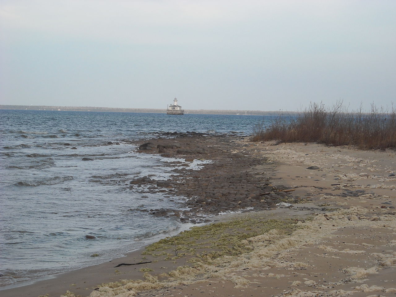
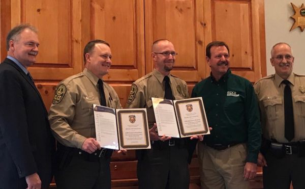
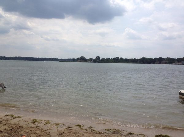

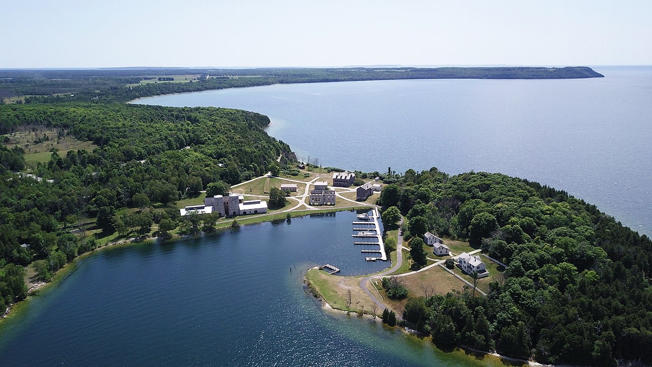


Inventory source: USGS PAD-US 4.1. Photos are public-domain or Creative Commons via Wikimedia Commons, credited per image. Official reservations and rules remain state-specific, so use the state booking links before committing to dates.
Native plants of Michigan
Michigan's parks are dunes, pine barrens, and northern hardwoods stitched together by two Great Lakes coastlines. Its natives handle sand and cold winters, which makes them naturals for Midwest gardens.
Wild lupine
Lupinus perennis
Blue flower spikes across oak savanna and dune backfields in late May, the host plant of the Karner blue butterfly.
A sandy-soil native that feeds rare butterflies. Grow itDwarf lake iris
Iris lacustris
The state wildflower, a tiny blue iris found on Great Lakes shoreline gravels and almost nowhere else on Earth.
Lowbush blueberry
Vaccinium angustifolium
Knee-high colonies under jack pine, loaded with fruit by August.
An edible groundcover for acid, sandy soil. Grow itCommon milkweed
Asclepias syriaca
Fragrant pink globes in old fields and trail edges, the monarch's primary host.
The single best plant for monarch caterpillars. Grow itKinnikinnick (bearberry)
Arctostaphylos uva-ursi
Evergreen mats stabilizing open dunes and pine plains.
An evergreen native groundcover for lean soil. Grow itCinnamon fern
Osmundastrum cinnamomeum
Waist-high ferns with cinnamon-colored fertile fronds in wet woods and swamp edges.
A dramatic fern for consistently damp shade. Grow itCanada goldenrod
Solidago canadensis
Golden September plumes that carry the late-season pollinator load in every meadow park.
Late nectar for migrating monarchs. Grow it
Grow-at-home guides for these come from our sister site, Sprout Authority.
Frequently asked questions
When is the best time to visit Michigan's parks?
Mid-June through early October is the broad sweet spot. Summer brings warm beach and kayak weather with highs in the 70s to low 80s F, while September offers fewer crowds, cooler air, and fall color along the Upper Peninsula cliffs. If you are headed to the Lake Superior island park, note it is only open from mid-April through mid-October.
What is the best national park in Michigan?
Michigan's marquee national lakeshores are Sleeping Bear Dunes on Lake Michigan and Pictured Rocks on Lake Superior. Sleeping Bear is the easier, more family-friendly choice with big dunes and swimming beaches, while Pictured Rocks rewards hikers with dramatic sandstone cliffs and waterfalls. For a remote, boat-only wilderness experience, the state's Lake Superior island national park is in a class of its own.
How do you get to Isle Royale National Park?
You cannot drive to it. Access is by ferry or seaplane only, with ferries departing from Houghton (about 6 hours each way) and Copper Harbor (about 3.5 hours each way). Seaplanes cut the trip to roughly 35 to 40 minutes. The park is open mid-April through mid-October, and many ferry lines only run from late spring into September, so book transportation well ahead.
Do you need a warm layer for a Michigan summer trip?
Yes. Even in July and August, Lake Superior stays cold and lakeside evenings turn breezy fast, especially in the Upper Peninsula. Pack a warm layer and reliable rain gear alongside your beach kit, since weather along the Great Lakes can shift quickly during the day.