Rail trail · Oregon
OC and E Woods Line State Trail
Oregon's longest state trail at roughly 100 miles, tracing the former Oregon, California and Eastern Railroad through the high desert and ponderosa pine forests of Klamath County from Klamath Falls east to the Sycan Marsh trailhead.
Length
100 miles
Surface
Ballast, Natural, Gravel
Route
Point to point
Endpoints
Klamath Falls to Sycan Marsh trailhead
Season
Late May through October; higher sections see snow into spring and can close; summers are dry and warm with cool nights
Plan your ride or walk
At roughly 100 miles, the OC and E Woods Line State Trail is Oregon's longest state trail, following the former Oregon, California and Eastern Railroad east from Klamath Falls through the wide-open high desert, ranch land, and ponderosa pine forests of Klamath County to the wild Sycan Marsh area. The surface is largely decomposed ballast and natural surface rather than paved or crushed stone, making it a hiking, equestrian, and mountain-biking trail with a genuinely remote character in the eastern sections. The trail passes through the small communities of Sprague River and Bly before climbing into higher pine country near Sycan Marsh, a vast wetland that is a critical stop on the Pacific Flyway. Because the eastern sections are remote and water is scarce, multi-day users need to plan carefully. Stargazing is exceptional in the dry, dark high desert away from Klamath Falls.
Getting there
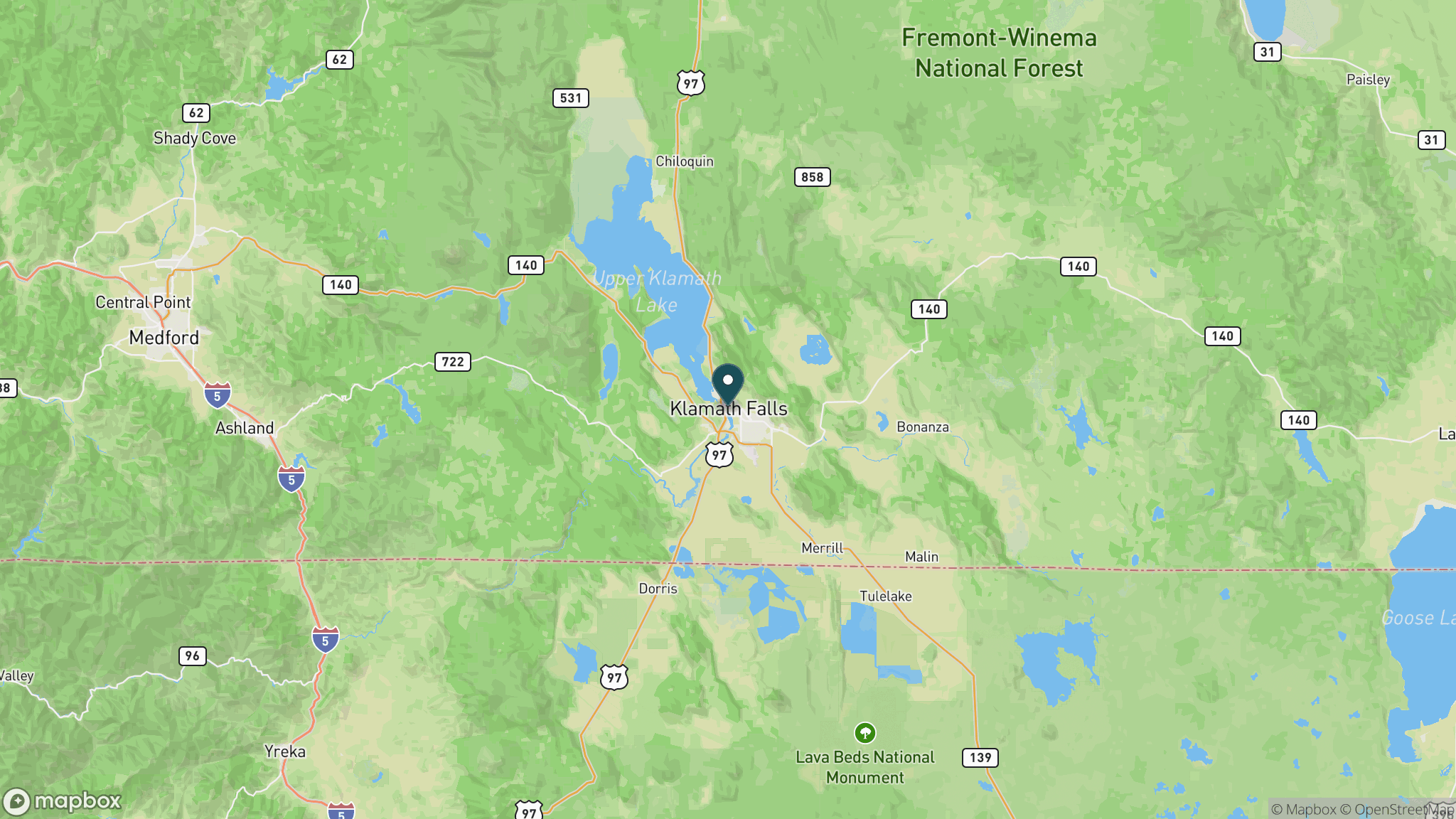
The western trailhead is at the OC and E trailhead at the south end of Klamath Falls, accessible via South 6th Street, about 65 miles north of the California border on US 97. Intermediate access is available in Sprague River and Bly off OR-140. The eastern Sycan Marsh trailhead is accessible by dirt road and adds significant distance to reach.
Official trail information
Confirm current conditions, closures, and any required trail pass on the managing agency’s page.
Oregon State Parks: OC and E Woods Line State TrailWhat to bring
Gear keyed to a long, flat trail day: footwear, hydration, sun protection, and a pack sized for the distance.
What to pack
Plan with our tools
Frequently asked questions
How long is the OC and E Woods Line State Trail?
The OC and E is approximately 100 miles point to point from Klamath Falls east to the Sycan Marsh trailhead, making it Oregon's longest state trail. Most visitors do day hikes or overnights from access points in Sprague River or Bly rather than the full length.
What is the surface like on the OC and E Trail?
The surface is decomposed railroad ballast and natural dirt for most of the route, suitable for hiking, equestrian use, and mountain bikes but not paved or road-bike-friendly. The western sections near Klamath Falls are more packed; the eastern sections are looser and more remote.
What is Sycan Marsh?
Sycan Marsh is a large, remote wetland near the eastern end of the trail and one of the most significant migratory bird habitats in the Pacific Northwest. It sits on the Pacific Flyway and hosts thousands of waterfowl and shorebirds during migration. The Sycan Marsh Preserve is managed by The Nature Conservancy.
Is water available on the OC and E Trail?
Water sources are scarce in the central and eastern sections, which cross dry high-desert and ponderosa forest terrain. Backpackers and long-distance users must carry sufficient water or know the locations of reliable sources in advance; do not count on finding water along the trail.
More Oregon trails
Looking for parks instead? Browse state parks by state.