Rail trail · Oregon
Banks-Vernonia State Trail
Oregon's first rails-to-trails state park: 21 paved miles between Banks and Vernonia through Coast Range foothills, crossing 13 bridges including the soaring 80-foot Buxton Trestle.
Length
21 miles
Surface
Paved, Gravel
Route
Point to point
Endpoints
Banks to Vernonia
Season
Open year-round; trailhead hours vary by season. Best for dry-weather riding from June through September; expect mud and rain November through March
Plan your ride or walk
The Banks-Vernonia State Trail holds the distinction of being Oregon's first rails-to-trails state park, converting the old Burlington Northern railway right-of-way after the rails were salvaged in 1973. The 21 paved miles between Banks and Vernonia cross 13 bridges, including the 733-foot-long, 80-foot-high Buxton Trestle, one of the most impressive rail-trail structures in the Pacific Northwest. Unlike most rail-trails, the Banks-Vernonia is noticeably hilly in one section as it climbs into the Coast Range foothills, making it a more physically challenging ride than typical flat corridors. A separate 4-foot-wide gravel equestrian path runs alongside the paved bike and hike trail for most of the route. The trail connects to L.L. Stub Stewart State Park, where camping is available for multi-day trips. A day-use parking permit is required at trailheads.
Getting there
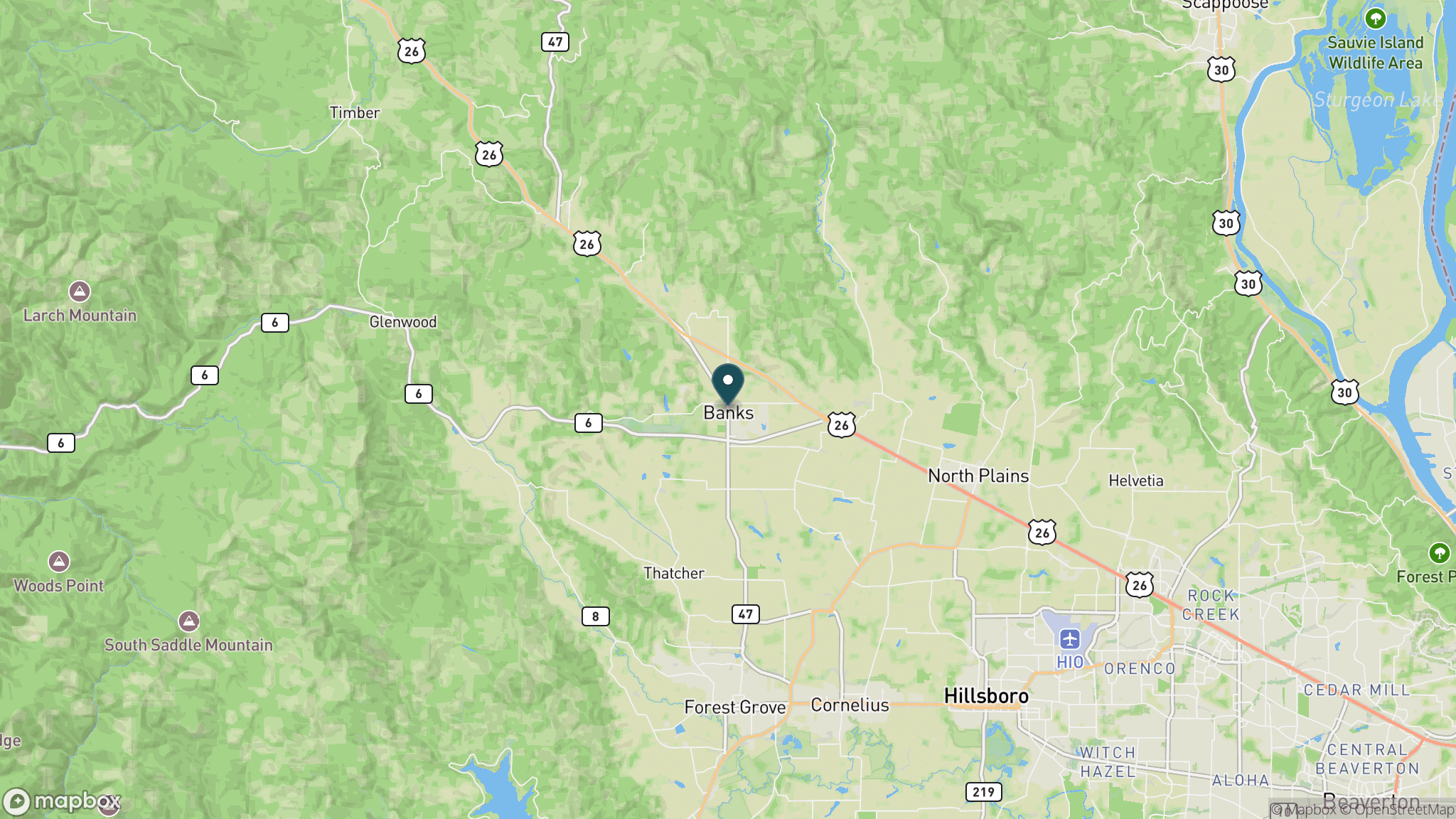
The Banks trailhead is at 13600 NW Main St. in Banks, about 30 miles northwest of Portland via US 26. The Vernonia trailhead is the northern terminus. Five trailheads with parking and restrooms are spaced along the route; the Buxton trailhead near the namesake trestle is the most popular mid-point stop. EV charging is available at the Banks trailhead.
Official trail information
Confirm current conditions, closures, and any required trail pass on the managing agency’s page.
Oregon State Parks: Banks-Vernonia State TrailWhat to bring
Gear keyed to a long, flat trail day: footwear, hydration, sun protection, and a pack sized for the distance.
Frequently asked questions
What makes Banks-Vernonia State Trail historically significant?
It is the first rails-to-trails state park in Oregon. The railway dates to the 1920s and was used for logs, lumber, freight, and passengers by the Spokane, Portland and Seattle Railway and Burlington Northern before abandonment in 1973. The state purchased the right of way in 1974 and transferred it to Oregon Parks and Recreation in 1990.
What is the Buxton Trestle?
The Buxton Trestle is a 733-foot-long, 80-foot-high former railroad bridge near the midpoint of the trail. Open to hikers and cyclists, it is one of the tallest and most spectacular trail bridges in the Pacific Northwest. An equestrian bypass at ground level crosses Mendenhall Creek separately.
Is Banks-Vernonia flat like most rail-trails?
Mostly, but not entirely. The trail has one notably hilly section as it climbs through the Coast Range foothills, making it more challenging than typical flat rail corridors. Plan for more effort than the mileage might suggest, particularly for less experienced riders.
Do you need a permit to park at Banks-Vernonia?
Yes. A day-use parking permit is required and can be purchased on-site at the trailhead. Annual Oregon State Parks passes also cover the day-use fee. The trail itself has no additional charge for hiking or biking.
More Oregon trails
Looking for parks instead? Browse state parks by state.