State trail · Oregon
Historic Columbia River Highway State Trail
A paved walking and cycling trail along the restored alignment of the original Historic Columbia River Highway, with waterfall views, basalt cliff vistas, and access to Crown Point and the Columbia River Gorge.
Length
8 miles
Surface
Paved
Route
Point to point
Endpoints
Bridal Veil to Ainsworth State Park (primary eastern segment), with separate western segments near Crown Point
Season
Year-round, but waterfalls are most dramatic in late winter and spring. Summers are busy; weekday mornings are far less crowded. Some road sections close seasonally.
Plan your ride or walk
The Historic Columbia River Highway State Trail preserves and reopens segments of the original 1916 Columbia River Highway, one of the first scenic highways in the United States, for non-motorized use. The trail runs along basalt cliffs high above the Columbia River, linking viewpoints, waterfalls, and trailheads that were bypassed when the modern highway was built. The eastern segment between Bridal Veil and Ainsworth State Park is the most developed, passing overlooks and connecting to trailheads for Latourell, Bridal Veil, Wahkeena, Multnomah, and Horsetail falls, all of which are short hikes off the main paved route. Crown Point, with its landmark Vista House, anchors the western end of the highway experience. The restored pavement is smooth and well graded, following the original engineer Sam Lancaster's philosophy of building a road that would not disturb the natural beauty of the gorge.
Getting there
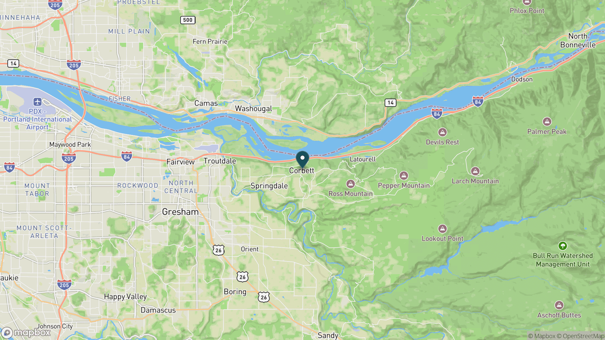
The trail is in the Columbia River Gorge about 30 miles east of Portland via I-84. Take exit 28 (Bridal Veil) for the eastern segment trailhead; take exit 22 for Crown Point and the western end. The Historic Columbia River Highway (US-30) between Troutdale and Ainsworth still carries cars; the State Trail fills in the segments that were closed to vehicles.
Official trail information
Confirm current conditions, closures, and any required trail pass on the managing agency’s page.
Oregon State Parks: Historic Columbia River Highway State TrailWhat to bring
Gear keyed to a long, flat trail day: footwear, hydration, sun protection, and a pack sized for the distance.
Frequently asked questions
What waterfalls are accessible from the Historic Columbia River Highway State Trail?
Short hikes off the trail reach some of Oregon's most famous falls. Latourell, Bridal Veil, Wahkeena, Multnomah (the tallest in Oregon at 620 feet), and Horsetail Falls are all within a short walk of the paved trail corridor. Multnomah Falls also has a visitor center and lodge.
How long is the Historic Columbia River Highway State Trail?
The trail is a series of restored segments totaling roughly 8 miles for non-motorized use, connecting points along the Columbia River Gorge. The primary paved segment runs between Bridal Veil and Ainsworth State Park. The full Historic Columbia River Highway corridor, including the sections that still carry cars, spans about 70 miles from Troutdale to The Dalles.
Is this trail good for road bikes?
Yes. The pavement is smooth and the grades are gentle by design, following the original 1916 highway engineering. Road bikes are well suited to the main trail corridor. Note that it can be crowded near waterfall trailheads on weekends.
What is Vista House at Crown Point?
Vista House is a 1918 rest stop and memorial to Oregon pioneers perched 733 feet above the Columbia River on Crown Point, near the western end of the historic highway. It offers some of the widest views of the Columbia River Gorge and is free to enter.
More Oregon trails
Looking for parks instead? Browse state parks by state.