Rail trail · Wisconsin
Saunders State Trail
A 26-mile crushed-limestone rail-trail in Burnett County in northwestern Wisconsin, running through lake country and Northwoods forest from Danbury toward Grantsburg.
Length
26 miles
Surface
Crushed stone
Route
Point to point
Endpoints
Danbury to Grantsburg (Burnett County)
Season
May through October for biking and walking; groomed for snowmobiling after adequate snowfall in winter.
Plan your ride or walk
The Saunders State Trail runs 26 miles through Burnett County in Wisconsin's northwest corner, a region of lakes, bogs, and second-growth Northwoods forest near the Minnesota border. The flat former-railroad grade passes through an area with a lower density of rail-trail visitors than the more-traveled corridors in the Driftless Area or the central sand counties, making it a good choice for riders seeking uncrowded Northwoods scenery. The corridor crosses several small streams and skirts wetland areas where wildlife sightings are common. The trail also sees heavy snowmobile use in winter given the reliable snow depths in northwestern Wisconsin. A Wisconsin State Trail Pass is required for cyclists 16 and older.
Getting there
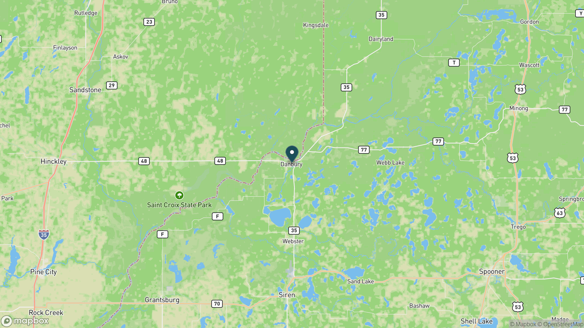
Danbury, the northern trailhead town, is in Burnett County near the Minnesota border, about 2.5 hours northwest of Minneapolis and roughly 3 hours from Madison. WI-35 and WI-77 provide access. Trailhead parking is available in Danbury and Grantsburg.
Official trail information
Confirm current conditions, closures, and any required trail pass on the managing agency’s page.
Wisconsin DNR: Saunders State TrailWhat to bring
Gear keyed to a long, flat trail day: footwear, hydration, sun protection, and a pack sized for the distance.
What to pack
Plan with our tools
Frequently asked questions
How long is the Saunders State Trail?
The Saunders State Trail is about 26 miles long, running from Danbury south to Grantsburg in Burnett County. It is a flat point-to-point rail-trail on a crushed-limestone surface.
What is the scenery like on the Saunders State Trail?
The trail passes through classic northwestern Wisconsin Northwoods terrain: second-growth forest, wetlands, bogs, and lake-country scenery near the Minnesota border. It is quieter and less visited than Wisconsin's more famous rail-trails, which is a draw for riders wanting an uncrowded experience.
Is the Saunders State Trail good for snowmobiling?
Yes. Northwestern Wisconsin's reliable winter snowfall makes the Saunders corridor one of the better Wisconsin state trails for snowmobile use. It is groomed after adequate snowfall and connects to the regional snowmobile network.
Do you need a pass for the Saunders State Trail?
Yes. A Wisconsin State Trail Pass is required for cyclists 16 and older. Walking and running are free. Snowmobilers need a Wisconsin snowmobile registration or a nonresident trail use sticker.
More Wisconsin trails
Looking for parks instead? Browse state parks by state.