Rail trail · Wisconsin
Military Ridge State Trail
A 40-mile rail-trail connecting Madison to Dodgeville through the rolling Driftless Area of southwest Wisconsin, running along an 1855 military route past Governor Dodge and Blue Mound state parks on a mix of asphalt and crushed stone.
Length
40 miles
Surface
Paved, Crushed stone
Route
Point to point
Endpoints
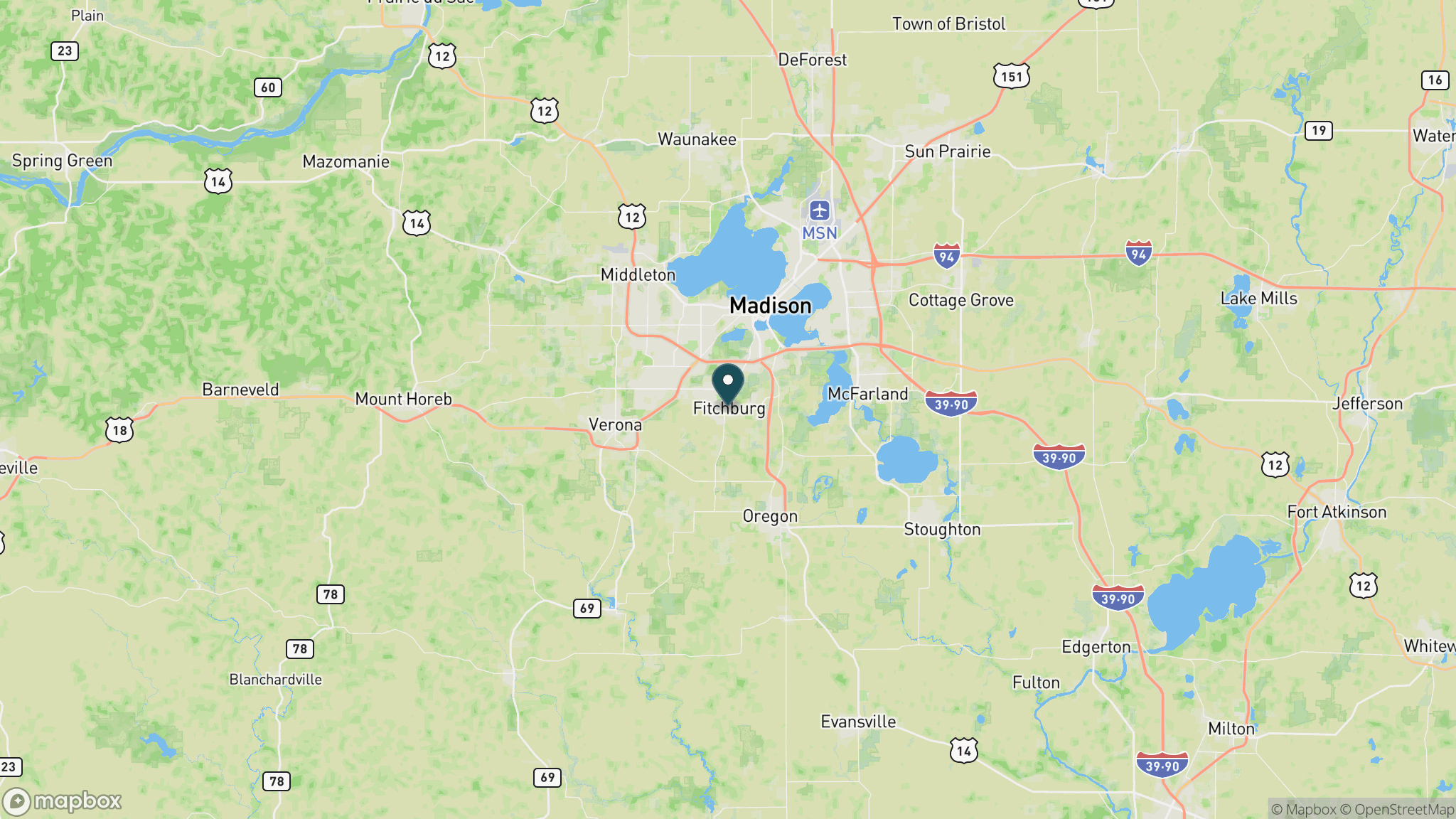
Fitchburg (eastern edge of Madison area) to Dodgeville
Season
Open year-round; best May through October; groomed in sections for cross-country skiing and snowshoeing in winter; state trail pass required for cyclists and skaters
Plan your ride or walk
The Military Ridge State Trail follows a former railroad corridor for 40 miles from the Madison suburbs west to Dodgeville, tracing the route of an 1855 military road through the scenic Driftless Area of Iowa and Dane counties. The first 2.5 miles from Fitchburg are paved; the remaining 37.5 miles are crushed stone. The trail passes along the southern borders of Governor Dodge and Blue Mound state parks, through agricultural lands, prairies, and oak woodlands with long views across the unglaciated terrain. Multiple well-developed trailheads with parking and restrooms are in Verona, Riley, Mount Horeb, Blue Mounds, Barneveld, Ridgeway, and Dodgeville. A Wisconsin State Trail Pass is required for cyclists and inline skaters age 16 and older. The trail is popular for winter cross-country skiing and snowshoeing.
Getting there
The Verona trailhead (2565 Old Co. Rd. PB, Verona, WI 53593) is the most popular eastern access point, about 10 miles southwest of Madison off Highway 18/151. The western terminus is at the DNR Dodgeville Service Center (322 N. Douglas St., Dodgeville, WI 53533). Contact the trail office at 608-437-5711 for conditions.
Official trail information
Confirm current conditions, closures, and any required trail pass on the managing agency’s page.
Wisconsin DNR: Military Ridge State TrailWhat to bring
Gear keyed to a long, flat trail day: footwear, hydration, sun protection, and a pack sized for the distance.
What to pack
Plan with our tools
Frequently asked questions
How long is the Military Ridge State Trail?
The trail is 40 miles point to point from the Madison suburb of Fitchburg to Dodgeville. Multiple trailheads allow you to ride any section.
Is a trail pass required?
Yes. A Wisconsin State Trail Pass is required for cyclists and inline skaters age 16 and older. The pass can be purchased at trailhead self-pay stations or online.
What is the surface?
The first 2.5 miles from the Fitchburg end are paved asphalt; the remaining 37.5 miles to Dodgeville are crushed stone.
Is the trail groomed for skiing?
Yes. Portions of the Military Ridge State Trail are groomed for cross-country skiing and snowshoeing in winter, making it one of the more active Wisconsin trails in the off-season.
More Wisconsin trails
Looking for parks instead? Browse state parks by state.