Rail trail · Wisconsin
Wolf River State Trail
A 37-mile rail-trail on a former railroad grade through the forests of northern Wisconsin, skirting the Wolf River and Nicolet National Forest between White Lake and Crandon with a wild, undeveloped character.
Length
37 miles
Surface
Crushed stone, Ballast
Route
Point to point
Endpoints
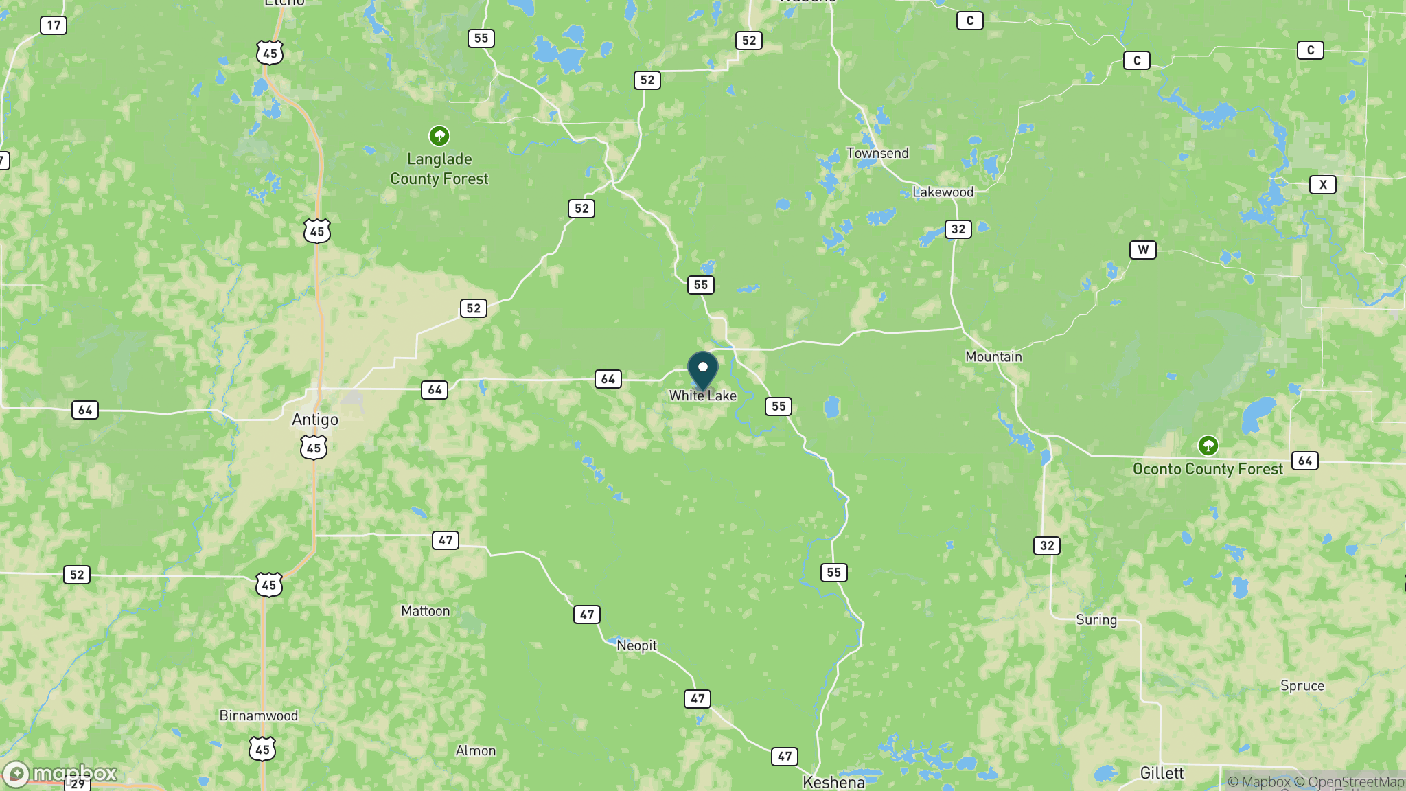
White Lake (Langlade County) to Crandon (Forest County)
Season
Open year-round; best May through October; the surrounding Nicolet National Forest offers hunting, fishing, cross-country skiing, and snowmobiling in season; no trail pass required
Plan your ride or walk
The Wolf River State Trail runs 37 miles on a former railroad corridor from White Lake south to Crandon through Langlade and Forest counties, skirting the banks of the Wolf River and bordering the Nicolet National Forest. The trail has a wilder, more rustic character than many Wisconsin rail-trails: the surface is crushed stone and ballast rock in sections, the communities along the way are small, and the surrounding forest provides excellent wildlife habitat and access to fishing, hunting, cross-country skiing, and snowmobiling beyond the trail corridor. No state trail pass is required. The trail passes through the communities of Crandon, Lily, Hollister, and White Lake.
Getting there
White Lake is about 1.5 hours northwest of Green Bay on Wisconsin Highway 55. Crandon is approximately 2 hours north of Green Bay via U.S. Highway 8. Trailheads and parking are available in the communities along the route. Contact Forest County Forestry and Recreation (715-478-3475) or Langlade County Forestry (715-627-6300) for current access information.
Official trail information
Confirm current conditions, closures, and any required trail pass on the managing agency’s page.
Wisconsin DNR: Wolf River State TrailWhat to bring
Gear keyed to a long, flat trail day: footwear, hydration, sun protection, and a pack sized for the distance.
What to pack
Plan with our tools
Frequently asked questions
How long is the Wolf River State Trail?
The trail is 37 miles point to point from White Lake to Crandon, with an additional 4-mile extension south of White Lake still under development.
Is a trail pass required?
No. The Wolf River State Trail does not require a Wisconsin State Trail Pass.
What is the surface like?
The surface is a combination of crushed stone and ballast rock, making it more suitable for mountain bikes or hybrids with wider tires than road bikes. Conditions can vary by section.
Is there fishing access along the trail?
Yes. The trail runs alongside the Wolf River, and the Nicolet National Forest surrounds much of the corridor. The Wolf River is a designated Wild and Scenic River and is well-known for trout fishing.
More Wisconsin trails
Looking for parks instead? Browse state parks by state.