Rail trail · Wisconsin
Red Cedar State Trail
A 14.5-mile rail-trail shadowing the steep walls of the Red Cedar Valley from Menomonie south to its junction with the Chippewa River State Trail, passing sandstone bluffs, prairies, and the Dunnville State Wildlife Area.
Length
14.5 miles
Surface
Crushed stone
Route
Point to point
Endpoints
Menomonie to the Chippewa River State Trail junction
Season
Open year-round; best for biking and walking May through October. A Wisconsin State Trail Pass is required for cycling and cross-country skiing.
Plan your ride or walk
The Red Cedar State Trail runs 14.5 miles through one of western Wisconsin's most visually striking river corridors, hugging the base of steep bluffs above the Red Cedar River from Menomonie south to its connection with the Chippewa River State Trail. Sandstone cliff faces, mixed hardwood forest, prairies, and marshy bottomlands alternate along the route, passing through the small community of Downsville and the Dunnville State Wildlife Area. At the south end the trail connects seamlessly to the Chippewa River State Trail, making longer rides possible by linking the two corridors. Cross-country skiing is a permitted winter use, requiring a Wisconsin State Trail Pass. The Red Cedar is one of western Wisconsin's most scenically rewarding short rail-trails, offering dramatic bluff scenery within easy reach of the Eau Claire area.
Getting there
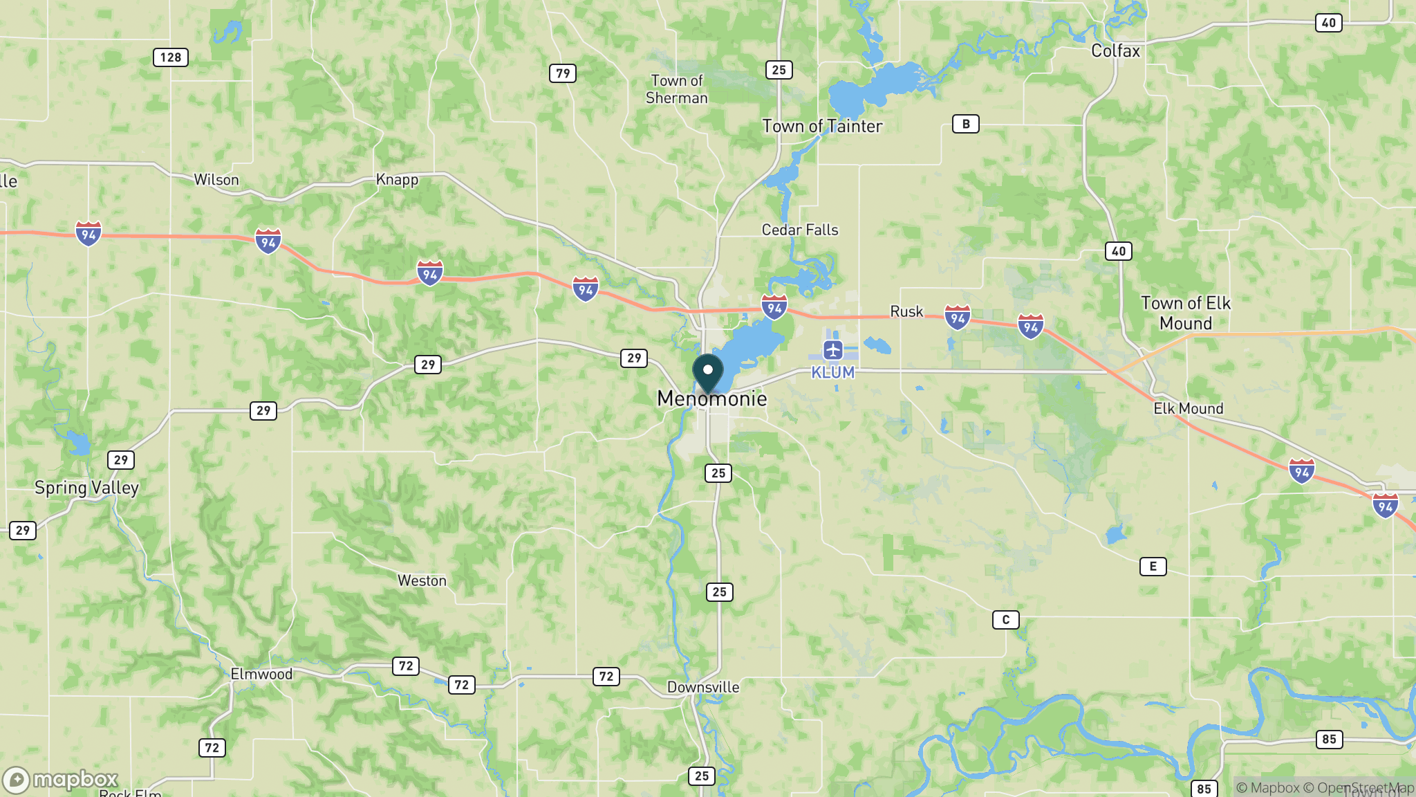
The northern trailhead is in Menomonie, about 20 miles east of Eau Claire off I-94. The southern terminus connects to the Chippewa River State Trail. Parking is available in Menomonie and at the Downsville trailhead. Contact the Red Cedar and Chippewa River State Trails office at 715-232-1242.
Official trail information
Confirm current conditions, closures, and any required trail pass on the managing agency’s page.
Wisconsin DNR: Red Cedar State TrailWhat to bring
Gear keyed to a long, flat trail day: footwear, hydration, sun protection, and a pack sized for the distance.
What to pack
Plan with our tools
Frequently asked questions
How long is the Red Cedar State Trail?
The Red Cedar runs 14.5 miles from Menomonie south to its junction with the Chippewa River State Trail. Combining the two trails makes much longer rides possible on connected crushed-stone corridors in western Wisconsin.
What makes the Red Cedar State Trail scenically distinctive?
The trail sits at the base of a steep-walled river valley with sandstone bluffs rising above. The combination of cliff faces, mixed forest, open prairies, and wetland bottoms along the Red Cedar River makes it one of the most visually varied short rail-trails in Wisconsin.
Do you need a pass for the Red Cedar State Trail?
Yes. A Wisconsin State Trail Pass is required for cyclists and cross-country skiers 16 and older. Walking, running, and snowmobile use have separate requirements. The trail is open year-round.
Can you connect the Red Cedar to other trails?
Yes. The south end of the Red Cedar connects directly to the Chippewa River State Trail, allowing riders to extend their trip considerably on the same crushed-stone surface. Together the two trails cover a substantial section of western Wisconsin's rail-trail network.
More Wisconsin trails
Looking for parks instead? Browse state parks by state.