Rail trail · Utah
Historic Union Pacific Rail Trail
Utah's first non-motorized rail-trail: 28 miles of paved and natural surface between Park City and Echo Reservoir, traversing mountain meadows, Silver Creek Canyon, and the Weber River corridor at elevations from 6,900 to 5,280 feet.
Length
28 miles
Surface
Paved, Crushed stone
Route
Point to point
Endpoints
Park City to Echo Reservoir
Season
Late spring through fall for most users; portions open for cross-country skiing and snowshoeing in winter; check for seasonal closures and the active Coalville construction detour
Plan your ride or walk
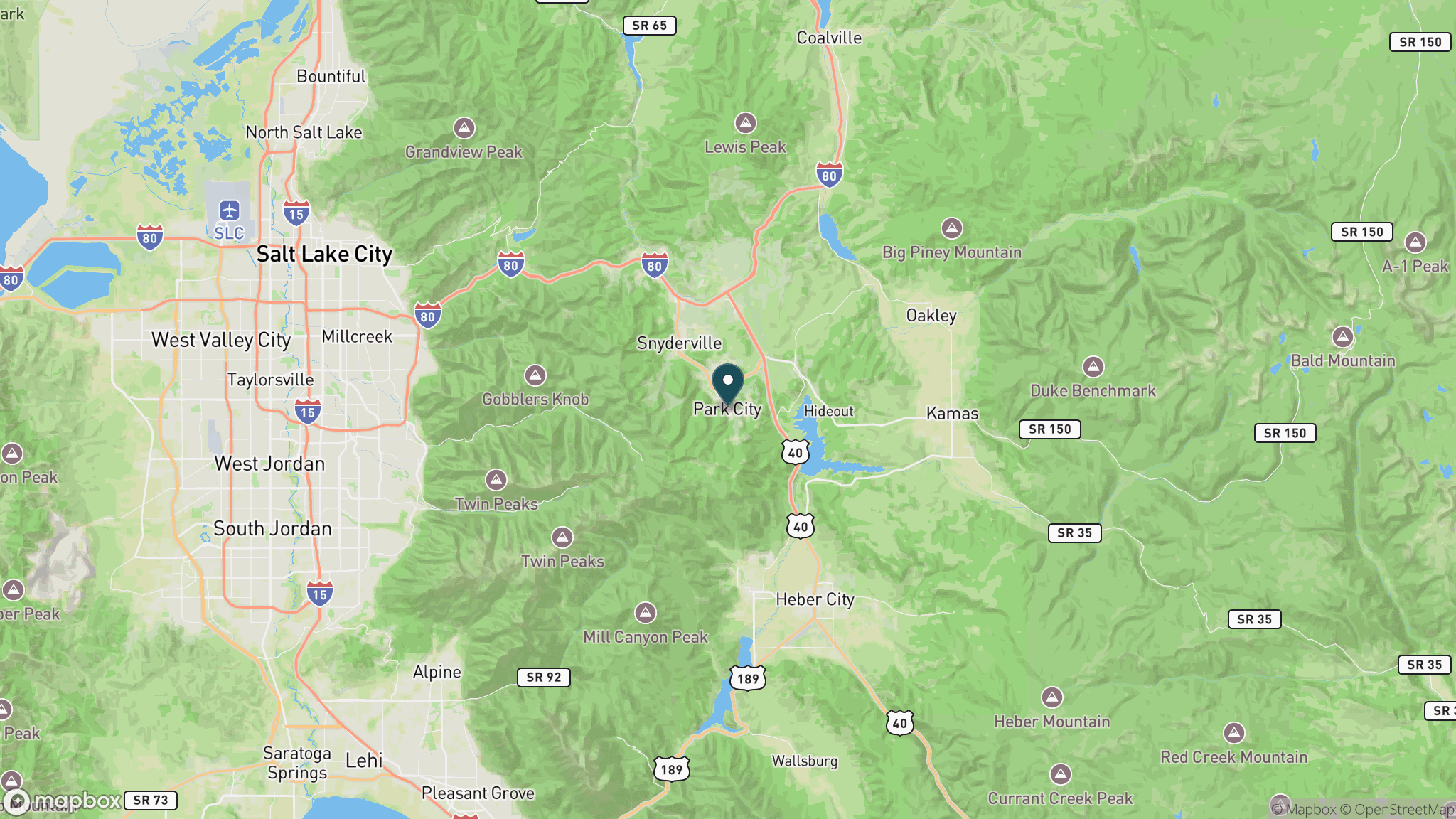
The Historic Union Pacific Rail Trail is both Utah's first non-motorized rail-trail and one of the most historically layered in the country, dedicated in 1992 on a corridor where coal and silver moved between Park City's mines and the Union Pacific mainline at Echo beginning in the 1870s. The 28-mile route drops roughly 1,600 feet from Park City through wetland meadows in Silver Creek Canyon, past the towns of Wanship and Coalville, and along the Weber River to Echo Reservoir, with the Wasatch Mountains visible for much of the journey. The surface transitions between paved and natural sections depending on the segment. Whether biking, hiking, horseback riding, cross-country skiing, or just walking, visitors get a close-up view of the canyon wildlife and river habitat that the railroad corridor preserved for over a century. A small day-use fee applies. Park City is a resort town with full services, while Coalville, Wanship, and Echo are small communities with limited amenities.
Getting there
The northern trailhead is in Park City, about 30 miles east of Salt Lake City via I-80 and SR 224. The southern terminus is at Echo Reservoir, accessible from I-80 at the Echo Exit. The trail is point to point with no public shuttle, so most visitors do out-and-back rides or arrange a car shuttle between Park City and Echo.
Official trail information
Confirm current conditions, closures, and any required trail pass on the managing agency’s page.
Utah State Parks: Historic Union Pacific Rail TrailWhat to bring
Gear keyed to a long, flat trail day: footwear, hydration, sun protection, and a pack sized for the distance.
What to pack
Plan with our tools
Frequently asked questions
How long is the Historic Union Pacific Rail Trail?
The trail is approximately 28 miles one way, running from Park City down to Echo Reservoir. The route descends about 1,600 feet over its length, so the Park City to Echo direction is predominantly downhill.
Is there a fee for the Historic Union Pacific Rail Trail?
Yes, a small day-use fee is required to access the state park. Check the Utah State Parks website for current fee information and payment options.
What is the trail surface?
The surface varies by segment, with paved sections near Park City and natural or crushed-stone surfaces further south. Conditions change seasonally, and portions may be closed for construction; check current conditions on the Utah State Parks website before visiting.
When is the best time to visit?
Late spring through fall is best for most users. Snow can linger into May at the Park City end given the 6,900-foot elevation. Portions of the trail see cross-country skiing and snowshoeing in winter, but check for closures and confirm surface conditions.
Looking for parks instead? Browse state parks by state.