Rail trail · Wisconsin
Pecatonica State Trail
A 10-mile rail-trail following the old Milwaukee Road corridor through the Bonner Branch valley in Lafayette County, linking Belmont to the Cheese Country Trail at Calamine in Wisconsin's historic lead-mining country.
Length
10 miles
Surface
Crushed stone
Route
Point to point
Endpoints
Belmont to Calamine (connecting to the Cheese Country Trail)
Season
Year-round; crushed-stone surface best in dry conditions; equestrian use permitted so expect hoof wear in wet periods
Plan your ride or walk
The Pecatonica State Trail follows 10 miles of the former Milwaukee Road railroad corridor through the picturesque Bonner Branch valley in Lafayette County, southwest Wisconsin. The railroad once hauled lead ore through this valley during the 19th-century mining era that defined the region, and the corridor passes through remnant evidence of that industrial past alongside pastoral Driftless Area scenery. The trail's western terminus in Belmont connects directly to the Mound View State Trail, linking Pecatonica into a larger southwest Wisconsin network that extends to Platteville. The eastern terminus at Calamine joins the 47-mile Cheese Country Trail, giving riders and walkers access to a combined route of well over 50 miles. The trail is county-operated and allows both cycling and horseback riding, which contributes character but also some surface wear during wet seasons. A Wisconsin State Trail Pass is required for cyclists and riders 16 and older.
Getting there
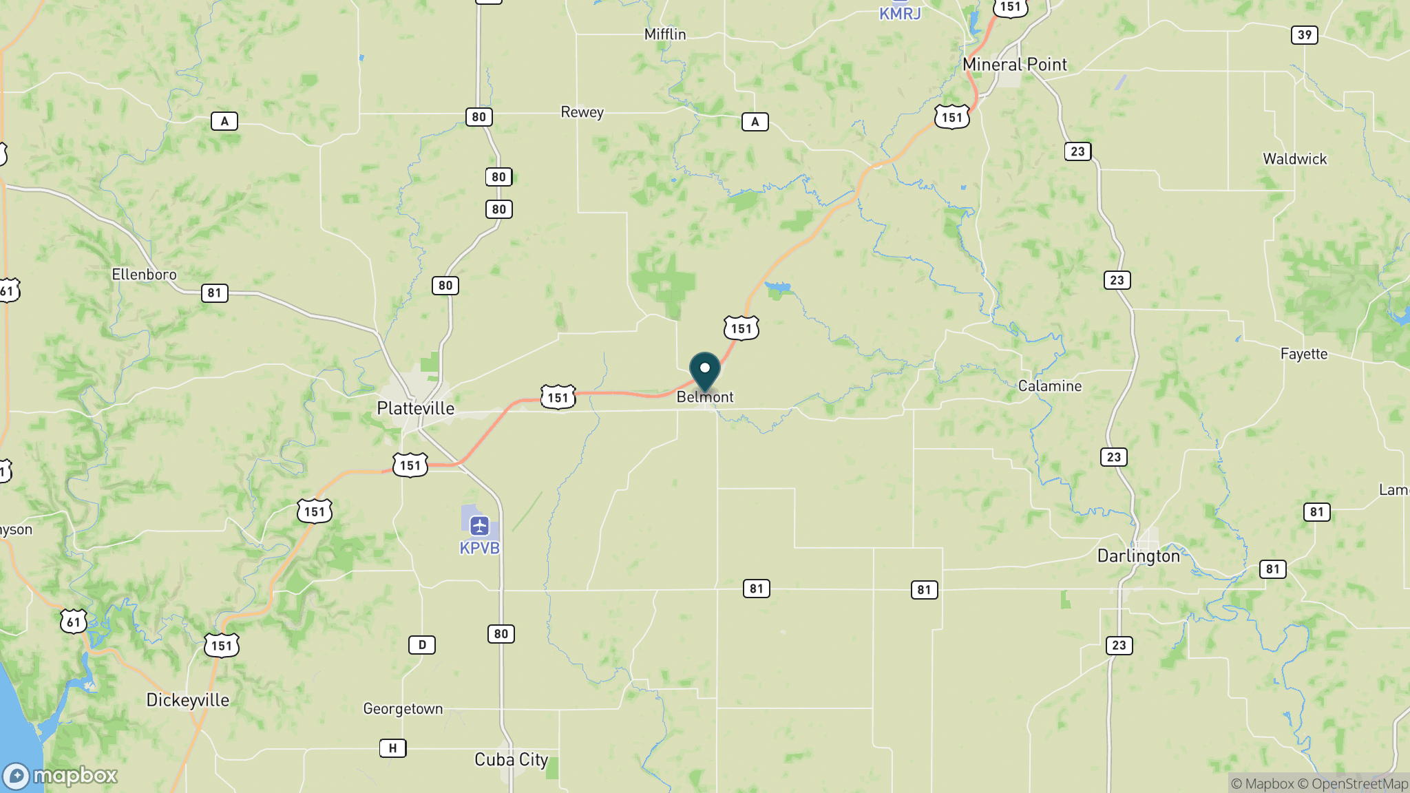
Belmont is in Lafayette County on US 151, about 80 miles southwest of Madison and 15 miles east of Platteville. Park at Bond Park in Belmont adjacent to the paved Pecatonica section. The Calamine end is a small community southeast of Shullsburg off County Road E, with parking near the Cheese Country Trail junction.
Official trail information
Confirm current conditions, closures, and any required trail pass on the managing agency’s page.
Wisconsin DNR: Pecatonica State TrailWhat to bring
Gear keyed to a long, flat trail day: footwear, hydration, sun protection, and a pack sized for the distance.
Frequently asked questions
How long is the Pecatonica State Trail?
The trail is 10 miles point to point from Belmont to Calamine. Combined with the Mound View State Trail to the west and the Cheese Country Trail to the east, the connected corridor spans more than 60 miles.
What is the trail surface?
The Pecatonica is surfaced in crushed stone, suitable for hybrid and gravel bikes. Horseback riding is permitted, which can affect the surface quality after wet weather.
What is the historical significance of the Pecatonica trail corridor?
The trail follows the former Milwaukee Road railroad used to transport lead ore from Lafayette County mines during Wisconsin's 19th-century lead-mining era. The valley it runs through is known as Bonner Branch, and the landscape still reflects that mining heritage.
Is a trail pass required?
Yes. A Wisconsin State Trail Pass is required for cyclists and horseback riders age 16 and older. The pass is available as a daily or annual purchase.
More Wisconsin trails
Looking for parks instead? Browse state parks by state.