Rail trail · Wisconsin
Oconto River State Trail
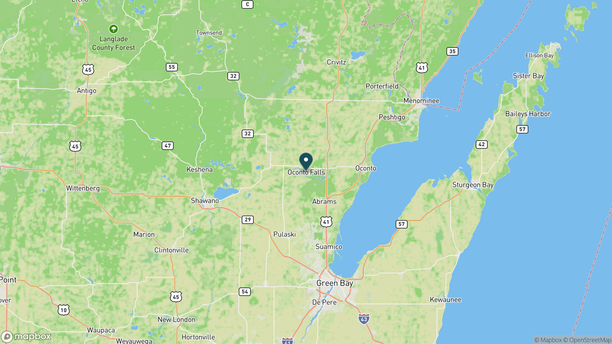
A 75-mile rail-trail through the Oconto River watershed of northeastern Wisconsin, from Stiles near Oconto Falls north to the edge of Chequamegon-Nicolet National Forest, passing through timber country and river corridors.
Length
75 miles
Surface
Crushed stone, Gravel
Route
Point to point
Endpoints
Stiles (near Oconto Falls) to Lakewood (southern edge of Nicolet National Forest)
Season
May through October for trail use; the corridor is heavily used for snowmobiling in winter; a Wisconsin State Trail Pass is required for cyclists 16 and older
Plan your ride or walk
The Oconto River State Trail is one of Wisconsin's longer rail-trail corridors, running approximately 75 miles through the Oconto River watershed from Stiles near Oconto Falls north toward Lakewood at the southern edge of the Chequamegon-Nicolet National Forest. The route passes through northeastern Wisconsin's timber and dairy landscape, crossing the Oconto River and its tributaries multiple times through a mix of forest, wetland, and open farmland. Fishing access to the Oconto River is a significant draw; the river holds brook trout in its upper reaches and walleye and smallmouth bass downstream. The trail is surfaced in a combination of crushed stone and compacted gravel, and its remote northern sections see less traffic than the more developed southern portions near Oconto Falls.
Getting there
The southern trailhead is near Stiles, just west of Oconto Falls off Highway 32, about 35 miles northwest of Green Bay. The northern end is near Lakewood, which can also be reached from Oconto Falls via Highway 32. Services are most available in Oconto Falls and Lakewood.
Official trail information
Confirm current conditions, closures, and any required trail pass on the managing agency’s page.
Wisconsin DNR: Oconto River State TrailWhat to bring
Gear keyed to a long, flat trail day: footwear, hydration, sun protection, and a pack sized for the distance.
Frequently asked questions
How long is the Oconto River State Trail?
The Oconto River State Trail is approximately 75 miles, making it one of the longer rail-trail corridors in Wisconsin. It runs point to point from Stiles near Oconto Falls north to Lakewood near the Chequamegon-Nicolet National Forest.
Can you fish along the Oconto River State Trail?
Yes. The trail crosses the Oconto River and several tributaries multiple times, providing access to brook trout in the forested upper watershed and walleye and smallmouth bass in the lower sections. A valid Wisconsin fishing license is required.
Do you need a pass for the Oconto River State Trail?
Yes. Cyclists 16 and older need a Wisconsin State Trail Pass. The trail is also a designated snowmobile corridor in winter, so expect snowmobile traffic after snowfall.
What is the surface of the Oconto River State Trail?
The southern sections near Oconto Falls are surfaced in crushed stone; the more remote northern sections transition to compacted gravel. The trail is most comfortable for hybrid bikes, mountain bikes, and walking.
More Wisconsin trails
Looking for parks instead? Browse state parks by state.