State trail · Illinois
Illinois and Michigan Canal State Trail
A 61-mile mostly natural-surface trail following the 1848 Illinois and Michigan Canal towpath from Joliet to LaSalle-Peru, threading the Illinois River Valley and passing historic lock houses, aqueducts, and canal towns.
Length
61 miles
Surface
Natural, Gravel, Crushed stone
Route
Point to point
Endpoints
Joliet to LaSalle-Peru
Season
April through November; spring and fall offer best conditions on the natural surface; sections can be muddy after rain
Plan your ride or walk
The Illinois and Michigan Canal State Trail traces the 1848 I&M Canal towpath for 61 miles through the Illinois River Valley, following a waterway that connected the Great Lakes to the Mississippi River and helped build Chicago into a commercial hub. The surface is mostly packed dirt and gravel, making it a hiker and equestrian trail rather than a dedicated bike path, though mountain and gravel bikes handle the hardpacked sections. Along the way, trail users pass stone lock houses, aqueduct remnants, canal locks, and small historic towns that grew up to serve the canal. The corridor is part of the I&M Canal National Heritage Corridor, and camping is available at several spots, making multi-day towpath trips possible. Spring and fall are the best seasons for wildflowers, fall color, and manageable trail conditions; summer humidity is significant and sections turn muddy after rain.
Getting there
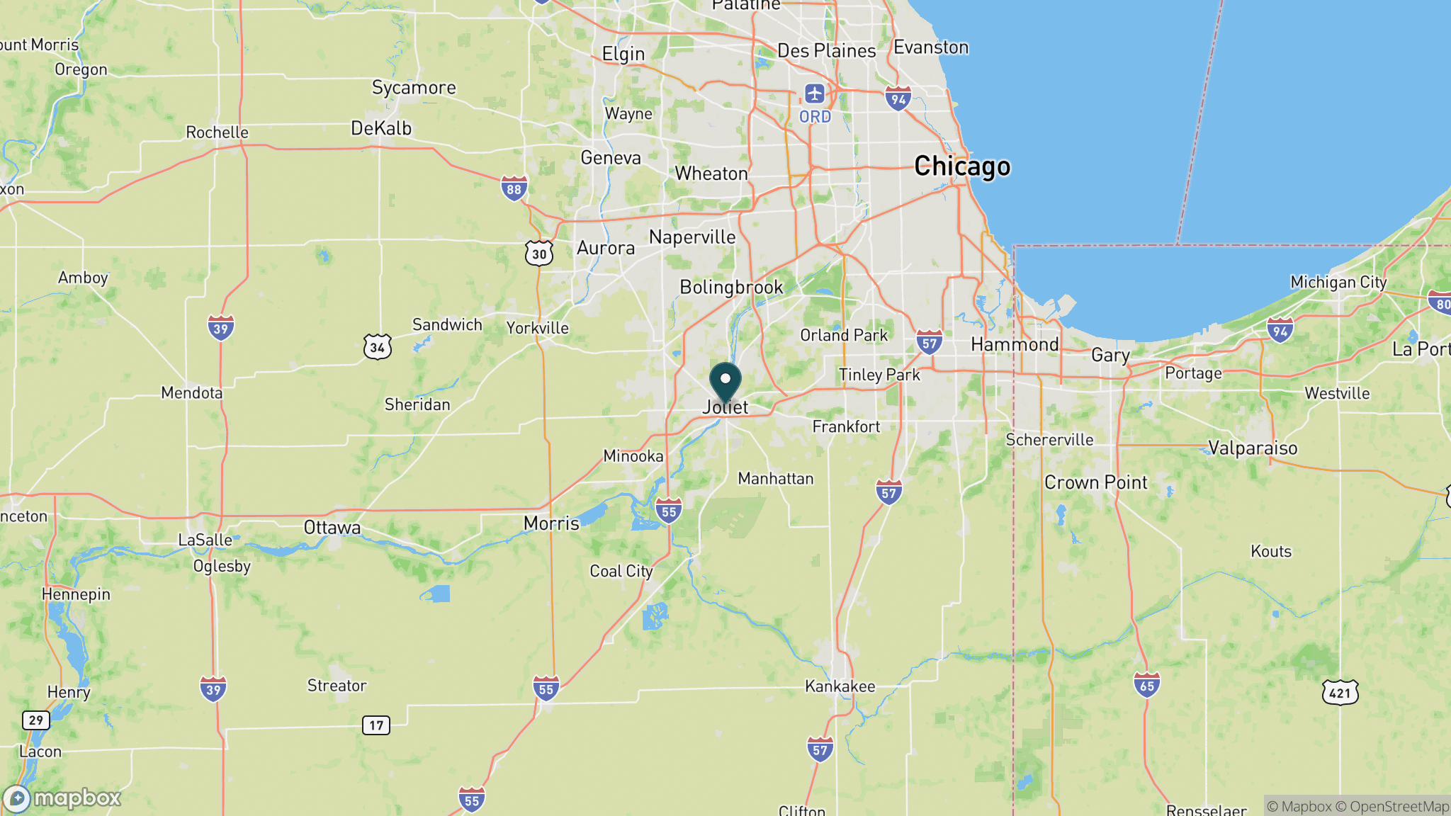
The eastern trailhead is in Joliet, about 40 miles southwest of downtown Chicago via I-55. Access points with parking exist in Lockport, Morris, Ottawa, and Marseilles, and the western end reaches LaSalle-Peru near Starved Rock State Park, a natural extension for a longer trip.
Official trail information
Confirm current conditions, closures, and any required trail pass on the managing agency’s page.
Illinois DNR: Illinois and Michigan Canal State TrailWhat to bring
Gear keyed to a long, flat trail day: footwear, hydration, sun protection, and a pack sized for the distance.
What to pack
Plan with our tools
Frequently asked questions
How long is the Illinois and Michigan Canal State Trail?
The trail runs approximately 61 miles point to point from Joliet west to LaSalle-Peru, following the historic 1848 canal towpath through the Illinois River Valley. Most people hike day segments from the many access points spaced along the route.
Is the I&M Canal Trail good for biking?
The surface is primarily packed dirt and gravel towpath, best suited to hiking, trail running, and equestrian use. Mountain bikes and gravel bikes handle the hardpacked sections, but the trail is not a paved rail-trail and conditions vary with rainfall.
Can you camp on the Illinois and Michigan Canal Trail?
Yes. Several campgrounds and primitive camping areas are located along or near the trail corridor, making multi-day towpath backpacking trips feasible. Illinois DNR operates a number of sites; check the corridor website for current permit requirements.
What historic features can you see along the trail?
The towpath passes more than a dozen stone lock structures, original lock tender houses, an aqueduct, and canal-era towns like Lockport and Morris. The canal predates the railroad era and operated from 1848 to the early 1900s. The entire corridor is a National Heritage Area.
More Illinois trails
Looking for parks instead? Browse state parks by state.