State trail · Illinois
Hennepin Canal State Trail
A 104-mile trail following the historic early-1900s Hennepin Canal through northern Illinois farm country, combining towpath walking with canal locks, aqueducts, and wetland scenery.
Length
104 miles
Surface
Crushed stone, Gravel, Natural
Route
Point to point
Endpoints
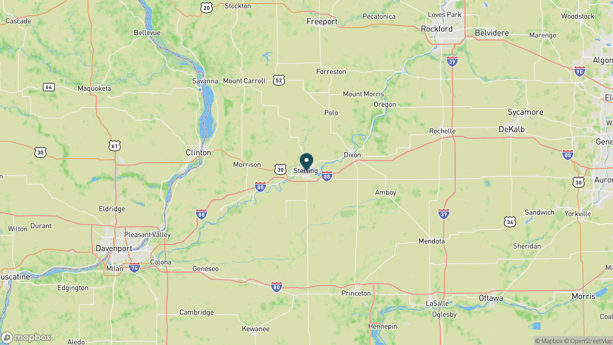
Rock River (Rock Falls area) to the Illinois River (Bureau area), with a feeder canal spur to the Rock River near Colona
Season
Year-round for hiking; the natural and gravel sections can be muddy after rain, so the drier summer and fall months offer the best surface conditions.
Plan your ride or walk
The Hennepin Canal was completed in 1907 to connect the Illinois River to the Rock River and the Midwest's canal network, but it was quickly made obsolete by railroads and fell out of commercial use by the 1950s. Today its towpath forms one of Illinois's longest trails, spanning 104 miles through the broad agricultural landscape of the northern part of the state. The trail is managed by the Illinois DNR and passes 33 lift locks, three aqueducts, and miles of canal that still hold water, making it a living piece of early 20th-century engineering history. Fishing is popular from the towpath, and great blue herons, eagles, and waterfowl concentrate along the canal corridor. Surface quality varies: packed gravel and crushed stone in better-maintained segments, natural packed earth in others, which can be soft after rain.
Getting there
The main canal runs roughly from Rock Falls east to Bureau, paralleling I-88. A feeder canal spur adds additional miles from the canal's midpoint north to the Rock River near Colona. Multiple access points exist along the route; the Illinois DNR website has a map with trailhead locations and parking areas.
Official trail information
Confirm current conditions, closures, and any required trail pass on the managing agency’s page.
Illinois DNR: Hennepin Canal Parkway State ParkWhat to bring
Gear keyed to a long, flat trail day: footwear, hydration, sun protection, and a pack sized for the distance.
Frequently asked questions
How long is the Hennepin Canal State Trail?
The main canal trail runs about 96 miles from the Rock River at Rock Falls east to the Illinois River near Bureau. A feeder canal spur adds roughly 29 more miles north to the Rock River near Colona, for a combined system of about 104 miles of trail.
What is the surface like on the Hennepin Canal trail?
Surfaces vary along the route. Some segments are packed gravel or crushed stone suitable for hybrid bikes and walking shoes; others are natural packed earth that gets soft and muddy after heavy rain. The trail is generally better suited to foot travel and fat-tire or hybrid bikes than to narrow road tires.
Can you fish from the Hennepin Canal trail?
Yes. The canal still holds water along much of its length and is stocked with fish including bass, catfish, and bluegill. Fishing from the towpath is popular and requires a standard Illinois fishing license.
Are the locks and aqueducts accessible to visitors?
Yes. The Hennepin Canal's 33 lift locks and three aqueducts are preserved in place alongside the trail and are free to visit. Interpretive signs at several locations explain how the canal system worked.
More Illinois trails
Looking for parks instead? Browse state parks by state.