Rail trail · Wisconsin
Glacial Drumlin State Trail
A 52-mile former-railroad rail-trail crossing the glaciated drumlin fields and farm country of southern Wisconsin between Waukesha and Cottage Grove, one of the state's marquee long-distance biking and walking corridors.
Length
52 miles
Surface
Crushed stone, Paved
Route
Point to point
Endpoints
Waukesha to Cottage Grove
Season
Best May through October; groomed for cross-country skiing on the crushed-stone western section in winter
Plan your ride or walk
The Glacial Drumlin State Trail stretches 52 miles across the rolling drumlin hills of southern Wisconsin from Waukesha, west of Milwaukee, to Cottage Grove, east of Madison, making it the spine of southern Wisconsin's rail-trail network. The eastern section (Cottage Grove to Deerfield) is paved; the longer western section is crushed stone. The trail takes its name from the glacially formed drumlin ridges that give the landscape its characteristic hummocky shape, and it passes through rich agricultural country, small crossroads towns, and wetlands. Several communities along the route, including Lake Mills and Jefferson, have restaurants, shops, and restrooms right at the trail, making the full one-way trip practical over two days with an overnight. A Wisconsin State Trail Pass is required for cyclists 16 and older. In winter, the western section is groomed for cross-country skiing, one of the few Wisconsin rail-trails to offer that.
Getting there
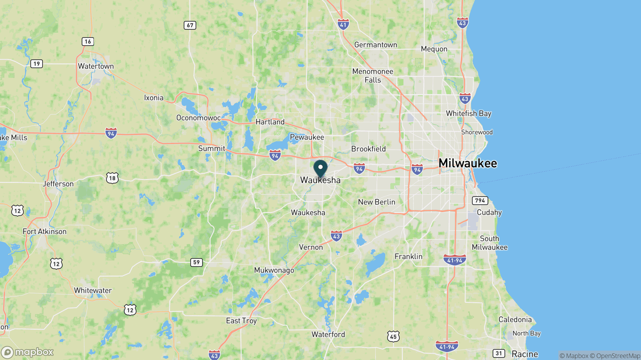
The eastern trailhead is in Cottage Grove, just east of Madison off US 12/18. The western trailhead is in Waukesha, accessible from I-94 about 18 miles west of downtown Milwaukee. Trailheads with parking are located in Dousman, Sullivan, Jefferson, Lake Mills, and Deerfield, so you can start from multiple points along the route.
Official trail information
Confirm current conditions, closures, and any required trail pass on the managing agency’s page.
Wisconsin DNR: Glacial Drumlin State TrailWhat to bring
Gear keyed to a long, flat trail day: footwear, hydration, sun protection, and a pack sized for the distance.
Frequently asked questions
How long is the Glacial Drumlin State Trail?
The Glacial Drumlin State Trail runs 52 miles point to point from Waukesha to Cottage Grove. It is one of the longest rail-trails in Wisconsin and connects the Milwaukee and Madison metro areas.
Is the Glacial Drumlin Trail paved?
The eastern section from Cottage Grove to Deerfield is paved, suitable for road bikes. The longer western section from Deerfield to Waukesha is crushed limestone, better suited to hybrid and gravel bikes. Most people start at whichever end matches their bike.
Can you ski the Glacial Drumlin State Trail?
Yes. The western crushed-stone section is groomed for cross-country skiing after snowfall, making it one of the few Wisconsin state rail-trails with a dedicated winter ski use. Check the Wisconsin DNR website for grooming reports.
Do you need a pass to ride the Glacial Drumlin Trail?
Cyclists 16 and older need a Wisconsin State Trail Pass for the Glacial Drumlin, available as a daily or annual pass. Walkers and runners use the trail at no charge. Cross-country skiers also need a pass in winter.
More Wisconsin trails
Looking for parks instead? Browse state parks by state.