Rail trail · Wisconsin
Fox River State Trail
A 25-mile trail from downtown Green Bay south along the Fox River on a mix of asphalt and crushed stone, following one of Wisconsin's most historically significant river corridors through Brown and Calumet counties.
Length
25 miles
Surface
Paved, Crushed stone
Route
Point to point
Endpoints
Green Bay (downtown) to Hilbert area
Season
Open year-round, 5 a.m. to 9 p.m. daily; most pleasant from May through October
Plan your ride or walk
The Fox River State Trail traces 25 miles from near downtown Green Bay south along the Fox River, initially on an asphalt path and then transitioning to crushed stone for the remaining 14 miles through Calumet County. The Fox River corridor is among the most historically layered waterways in Wisconsin: Native American footpaths ran along the river centuries before the first French explorers, missionaries, and traders established posts here, and that layered history shapes the character of the communities the trail passes through. From Green Bay the route moves through Allouez and De Pere, crossing into more rural terrain toward Rockland, Wrightstown, and Greenleaf before ending near Hilbert. The northern 11 miles are asphalt; the southern 14 miles are crushed stone. A Wisconsin State Trail Pass is required for cyclists, inline skaters, and horseback riders 16 and older.
Getting there
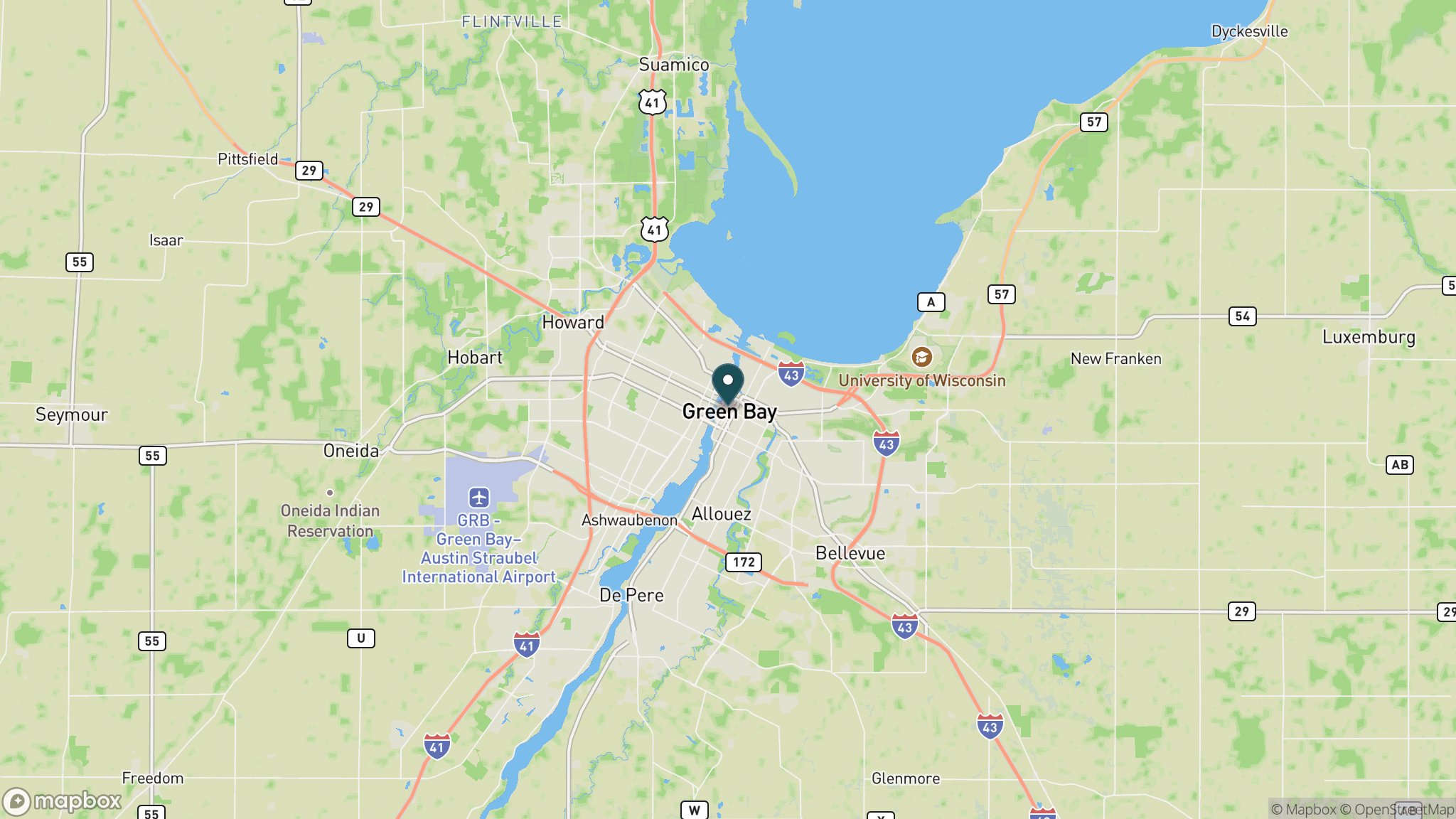
The north trailhead is near downtown Green Bay at the junction of Porlier Street and Adams Street, just south of the Mason Street Bridge. Parking is available on Adams Street and on weekends in a lot under the Mason Street Bridge. Additional parking sits at Fox Point Boat Launch, Voyageur Park, and Greenleaf. Manage through Brown County Parks (920-448-4466) or Calumet County Parks (920-439-1008).
Official trail information
Confirm current conditions, closures, and any required trail pass on the managing agency’s page.
Wisconsin DNR: Fox River State TrailWhat to bring
Gear keyed to a long, flat trail day: footwear, hydration, sun protection, and a pack sized for the distance.
Frequently asked questions
How long is the Fox River State Trail?
The trail runs 25 miles from near downtown Green Bay south through Brown and Calumet counties. The first 11 miles are asphalt; the remaining 14 miles are crushed stone. It runs point to point, so most users ride out and back from whichever trailhead fits their day.
Do you need a pass for the Fox River State Trail?
Yes. Cyclists, inline skaters, and horseback riders 16 and older need a Wisconsin State Trail Pass, available daily or annually. Walkers and runners are free. The trail is open 5 a.m. to 9 p.m. year-round.
What is the historical significance of the Fox River corridor?
Native American nations used the Fox River for travel and trade long before European contact. French explorers and Jesuit missionaries arrived in the 1600s and established missions along the river. That history is visible in Green Bay, De Pere, and the communities along the southern section of the trail.
Where do you park for the Fox River State Trail in Green Bay?
The north trailhead is at Porlier and Adams streets near downtown, with on-street parking and a weekend lot under the Mason Street Bridge. Additional lots sit at Fox Point Boat Launch and Voyageur Park further south on the route.
More Wisconsin trails
Looking for parks instead? Browse state parks by state.