Rail trail · Wisconsin
Chippewa River State Trail
A 23-mile crushed-limestone rail-trail through the Chippewa River valley between Eau Claire and Durand, following a former Chicago and North Western corridor through bluff country and river bottomlands.
Length
23 miles
Surface
Crushed stone
Route
Point to point
Endpoints
Eau Claire to Durand
Season
May through October; fall colors along the Chippewa River bluffs are excellent; a Wisconsin State Trail Pass is required for cyclists 16 and older
Plan your ride or walk
The Chippewa River State Trail runs 23 miles along a former Chicago and North Western railroad corridor from Eau Claire southeast to Durand, tracing the Chippewa River through one of western Wisconsin's most scenic river valleys. The trail alternates between wooded bluff-side sections with river views and bottomland stretches where the Chippewa widens into backwater marshes and oxbows rich with waterfowl and shorebirds. Fishing access to the Chippewa at several points along the trail is a secondary draw. The crushed-limestone surface suits hybrid bikes and comfortable walking. Eau Claire, the largest city on the trail, provides the full range of services, while Durand is a small river town at the western end. Fall foliage along the Chippewa bluffs peaks in early to mid October.
Getting there
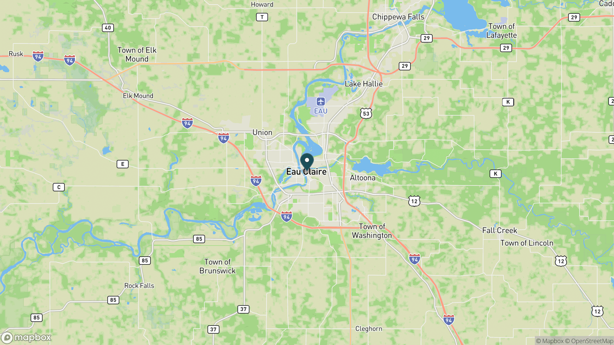
The northeastern trailhead is in Eau Claire off Altoona Avenue, about 90 miles east of St. Paul via I-94. Parking is available in Eau Claire and Durand. The trail roughly parallels Wisconsin Highway 85 through the Chippewa River valley, and a car shuttle between Eau Claire and Durand takes about 25 minutes.
Official trail information
Confirm current conditions, closures, and any required trail pass on the managing agency’s page.
Wisconsin DNR: Chippewa River State TrailWhat to bring
Gear keyed to a long, flat trail day: footwear, hydration, sun protection, and a pack sized for the distance.
Frequently asked questions
How long is the Chippewa River State Trail?
The Chippewa River State Trail is 23 miles, running point to point from Eau Claire southeast to Durand along the Chippewa River. The flat-to-gently-rolling grade makes the full distance manageable for intermediate riders.
Do you need a pass for the Chippewa River State Trail?
Yes. Cyclists 16 and older need a Wisconsin State Trail Pass, available daily or annually. Hikers and runners use the trail free of charge.
Can you fish along the Chippewa River State Trail?
Yes. The trail provides access to the Chippewa River at several points. The river holds walleye, smallmouth bass, and northern pike. A valid Wisconsin fishing license is required.
What is the scenery like on the Chippewa River State Trail?
The trail moves between wooded bluff-side sections with river panoramas and bottomland flats where the Chippewa spreads into backwater marshes. Great blue herons, bald eagles, and migratory waterfowl frequent the river corridor, especially in fall.
More Wisconsin trails
Looking for parks instead? Browse state parks by state.