Rail trail · New York
Catharine Valley Trail
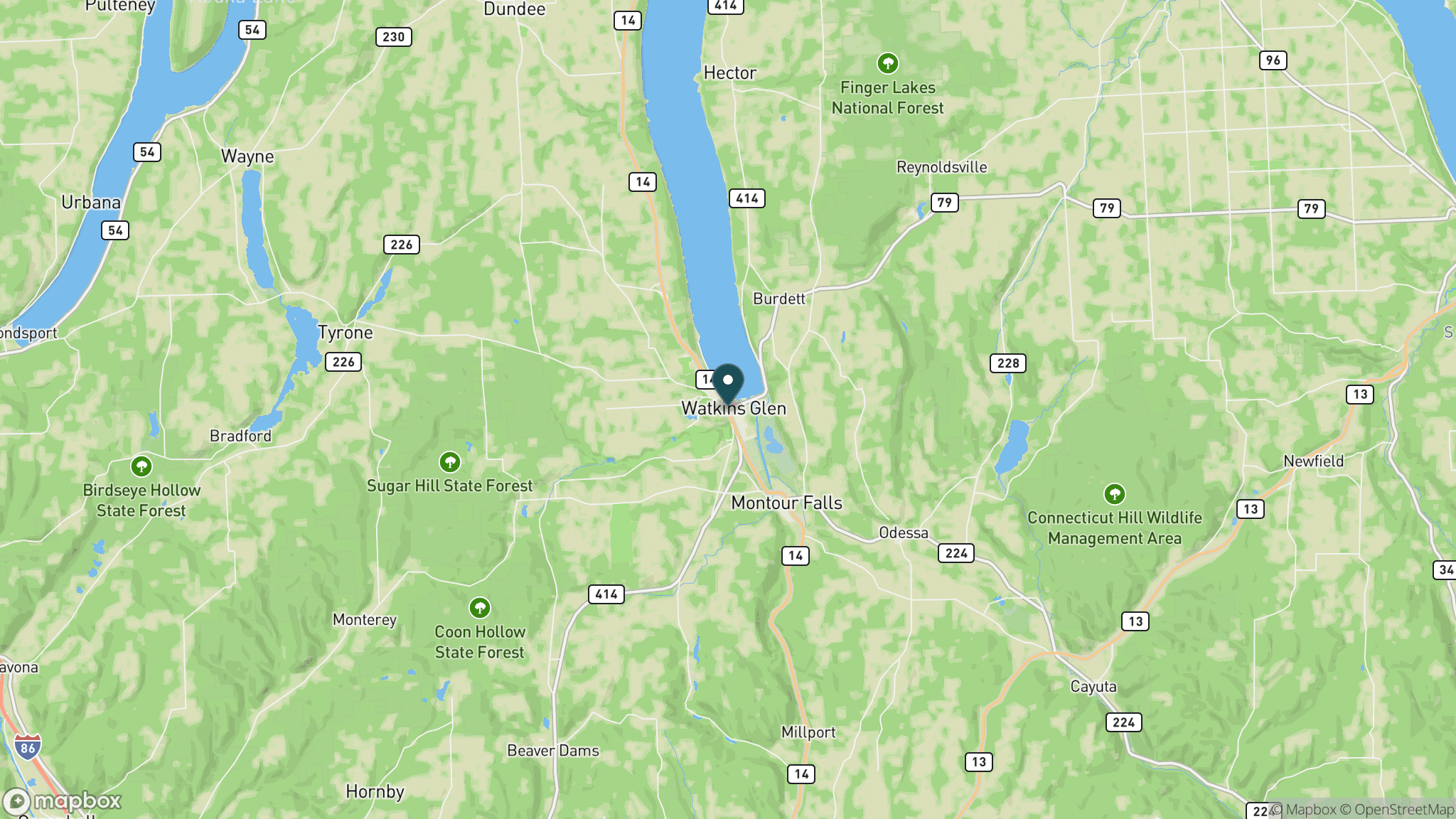
A 13-mile stone-dust rail-trail and canal towpath corridor through the glacially carved valley south of Seneca Lake in New York's Finger Lakes region, connecting Watkins Glen and Mark Twain State Park.
Length
13 miles
Surface
Crushed stone
Route
Point to point
Endpoints
Mark Twain State Park (southern) to Watkins Glen State Park (northern)
Season
Open year-round, dawn to dusk; best May through October for biking and walking; groomed for cross-country skiing and snowshoeing after snowfall
Plan your ride or walk
The Catharine Valley Trail follows abandoned railroad and canal towpath corridors through the scenic glacially-carved valley south of Seneca Lake, passing diverse wildlife habitats including wetlands, woodlands, and open meadows. Currently 13 miles of compact stone-dust trail are open, connecting Mark Twain State Park at the southern end to Watkins Glen State Park at the north. The stone-dust surface handles walking, cycling, cross-country skiing, and snowshoeing well. The trail is managed by New York State Parks (c/o Watkins Glen State Park). A one-mile section near Montour Falls closes for approximately four weeks during regular firearms deer season each fall.
Getting there
Three access points are available: the southern entrance at Mark Twain State Park; the north entrance at Watkins Glen State Park (P.O. Box 304, Watkins Glen, NY 14891; call 607-535-4511); and a trailhead parking area on South Genesee Street about 1.5 miles south of Montour Falls. A downloadable park map is available from NY State Parks.
Official trail information
Confirm current conditions, closures, and any required trail pass on the managing agency’s page.
NY State Parks: Catharine Valley TrailWhat to bring
Gear keyed to a long, flat trail day: footwear, hydration, sun protection, and a pack sized for the distance.
What to pack
Plan with our tools
Frequently asked questions
How long is the Catharine Valley Trail?
Currently 13 miles of trail are open between Mark Twain State Park and Watkins Glen State Park.
What is the trail surface?
Compact stone dust, which is suitable for walking, cycling, cross-country skiing, and snowshoeing. It is not paved.
Is the trail open in winter?
Yes, the trail is open year-round. After snowfall it is used for cross-country skiing and snowshoeing. Note that a one-mile section near Montour Falls closes during regular firearms deer season for about four weeks each fall.
Is there a fee?
No fee is charged to use the Catharine Valley Trail.
More New York trails
Looking for parks instead? Browse state parks by state.