State trail · Wisconsin
Capital City State Trail
A 17-mile paved trail connecting Madison's Capitol Square to the Military Ridge and Glacial Drumlin trails, forming the city's main off-road corridor through neighborhoods, parks, and the isthmus.
Length
17 miles
Surface
Paved
Route
Point to point
Endpoints
Madison Capitol Square area to Verona (Military Ridge State Trail junction)
Season
Year-round for walking and biking; the paved surface is plowed in winter for some segments. Best spring through fall for full access and warmth.
Plan your ride or walk
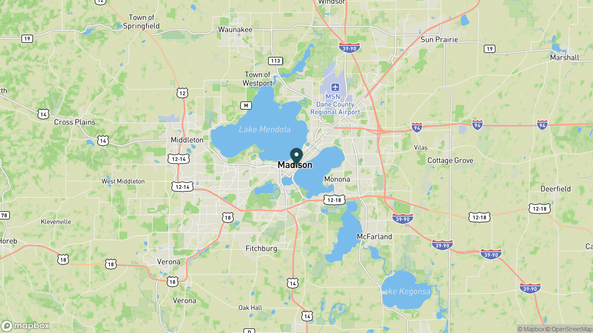
The Capital City State Trail is Madison's primary off-road cycling and walking connector, threading 17 miles from the Capitol Square through the urban core and then west through the developing suburban fringe to Verona, where it joins the Military Ridge State Trail for riders heading into the Driftless Area. In the opposite direction, a spur connects east toward the Glacial Drumlin State Trail toward Milwaukee. The trail passes through neighborhoods, along the lakeshore at Wingra Park, through open park corridors, and past commercial areas. As a commuter and recreational trail in Wisconsin's capital city, it is among the most-used trails in the state system, with heavy weekday commuter traffic and weekend recreational use. A Wisconsin State Trail Pass is required for cyclists 16 and older outside of Madison city limits.
Getting there
Multiple access points exist throughout Madison; the Capitol Square end is in downtown. The western end in Verona is at the Military Ridge State Trail trailhead off County Road PB. Parking is available at Veterans Memorial Park in Madison and at the Verona trailhead.
Official trail information
Confirm current conditions, closures, and any required trail pass on the managing agency’s page.
Wisconsin DNR: Capital City State TrailWhat to bring
Gear keyed to a long, flat trail day: footwear, hydration, sun protection, and a pack sized for the distance.
Frequently asked questions
How long is the Capital City State Trail?
The Capital City State Trail is about 17 miles from the Madison Capitol Square area west to Verona, where it connects to the Military Ridge State Trail. Spurs and connecting paths add more miles within Madison for riders heading east.
What trails does the Capital City State Trail connect to?
At its western end in Verona, it connects directly to the Military Ridge State Trail, a 40-mile rail-trail into the Driftless Area. Riders can also connect east to the Glacial Drumlin State Trail toward Milwaukee, creating a cross-state corridor.
Do you need a pass for the Capital City State Trail?
Within Madison city limits the trail is free. Outside city limits, Wisconsin requires a State Trail Pass for cyclists 16 and older. Daily and annual passes are available at self-pay stations and online.
Is the Capital City State Trail good for commuting?
Yes. It is one of the most heavily used commuter cycling corridors in Wisconsin, running through Madison's neighborhoods and connecting to the Capitol Square and University of Wisconsin campus area via local paths.
More Wisconsin trails
Looking for parks instead? Browse state parks by state.