State trail · Kentucky
Pine Mountain State Scenic Trail
A rugged 38-mile ridge-top hiking trail running the length of Pine Mountain in southeastern Kentucky, passing through old-growth forest, dramatic overlooks, and culturally rich Appalachian landscapes.
Length
38 miles
Surface
Natural
Route
Point to point
Endpoints
Breaks Interstate Park (Virginia border) to Cumberland Gap National Historical Park
Season
Best April to June and September to November; summer brings heat and humidity; winter is passable but some sections can be icy and remote
Plan your ride or walk
The Pine Mountain State Scenic Trail is Kentucky's premier long-distance footpath, tracing the spine of Pine Mountain for approximately 38 miles from Breaks Interstate Park on the Virginia border southwest to Cumberland Gap National Historical Park. This is a true wilderness hiking trail, not a rail-trail: the terrain is rugged, the footway is natural dirt and rock, and many sections are remote. The trail passes through old-growth hemlock and mixed hardwood forest, crosses creeks, and opens onto dramatic sandstone bluff overlooks of the Appalachian coalfields. Backpacking the full length is a multi-day commitment; day hikers can access shorter sections from numerous trailheads along U.S. 119 and KY 932. Managed by Kentucky State Parks in coordination with local partners.
Getting there
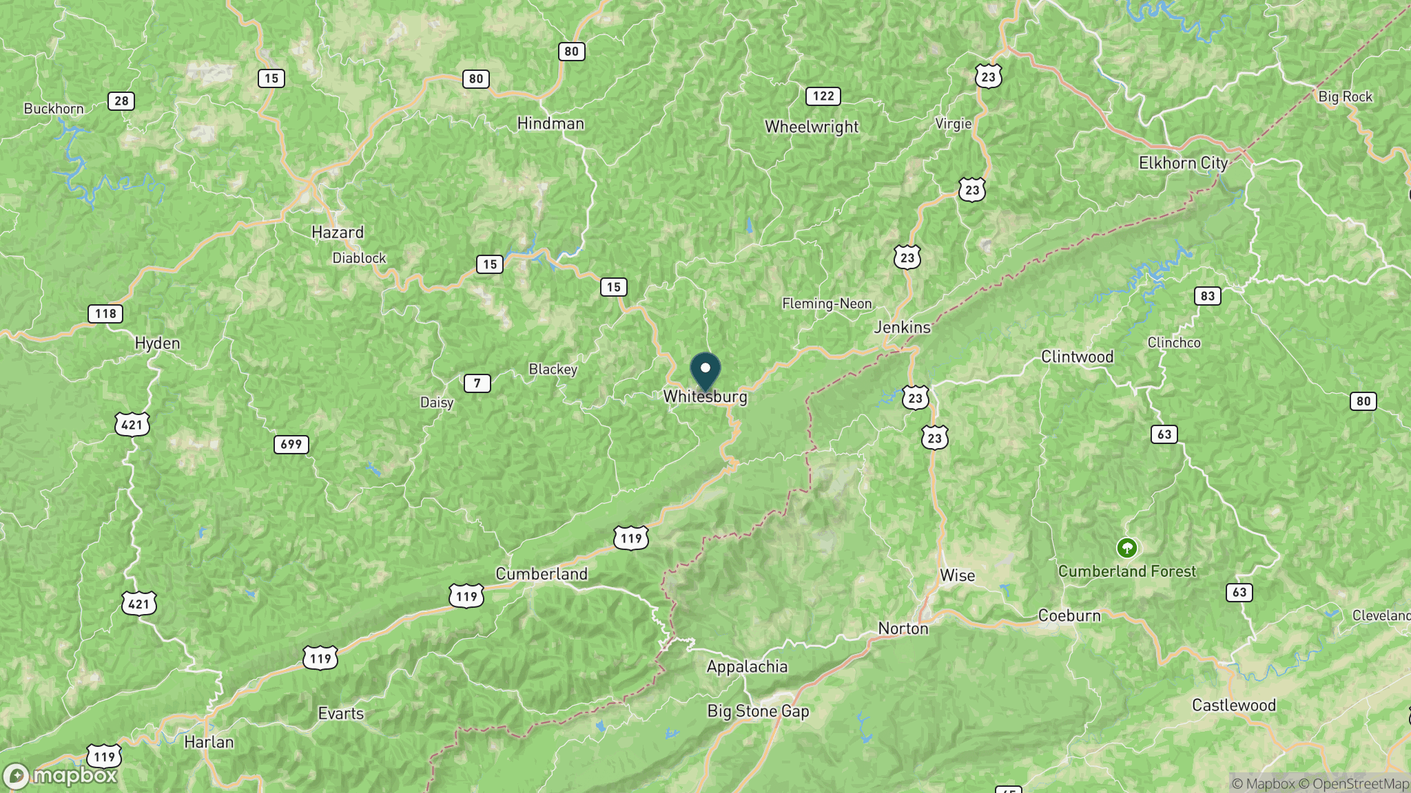
The northeastern trailhead is at Breaks Interstate Park near Elkhorn City, KY, off U.S. 460. The southwestern terminus connects to Cumberland Gap National Historical Park near Middlesboro. Several mid-trail access points exist along U.S. 119 through Letcher and Harlan counties. Cell coverage is sparse along much of the ridge; download offline maps before visiting. Contact Kentucky State Parks for current conditions.
Official trail information
Confirm current conditions, closures, and any required trail pass on the managing agency’s page.
Kentucky State Parks: Pine Mountain State Scenic TrailWhat to bring
Gear keyed to a long, flat trail day: footwear, hydration, sun protection, and a pack sized for the distance.
What to pack
Plan with our tools
Frequently asked questions
How long is the Pine Mountain State Scenic Trail?
The trail runs approximately 38 miles point to point from Breaks Interstate Park to Cumberland Gap National Historical Park.
Is this a rail-trail?
No. Unlike most trails on this site, Pine Mountain is a rugged ridge-top footpath built on natural terrain, not a former railroad corridor. Expect significant elevation changes and rocky footing.
Can I backpack the full trail?
Yes, backpacking the full length is possible and is the way most people experience the complete trail. Plan for multiple days, carry all water as reliable sources are limited on the ridge, and check with Kentucky State Parks for current permit and camping policies.
Are there shorter day-hike options?
Yes. Several trailheads along U.S. 119 and KY 932 let you access the ridge for out-and-back day hikes of varying length without committing to the full 38 miles.
Looking for parks instead? Browse state parks by state.