Rail trail · West Virginia
Greenbrier River Trail
A 78-mile rail-trail through one of the most remote and scenic river valleys in the eastern United States, following the Greenbrier River on a cinder and ballast surface through tunnels, historic depots, and Appalachian backcountry.
Length
78 miles
Surface
Crushed stone, Ballast
Route
Point to point
Endpoints
North Caldwell (near Lewisburg) to Cass
Season
April through October for most uses. Spring brings high water and wildflowers; fall foliage is exceptional. Summer is warm but shaded in the valley. Winters are cold with occasional snow.
Plan your ride or walk
The Greenbrier River Trail is the marquee long-distance rail-trail of the Appalachians: 78 miles of largely uninterrupted backcountry on the former Chesapeake and Ohio Railway line through Pocahontas County, West Virginia, one of the least densely populated counties east of the Mississippi. The trail shadows the Greenbrier River the entire way, crossing it on trestles and passing through two hand-dug railroad tunnels, with small trail towns like Marlinton providing the only services. The surface is compacted cinder and crushed limestone, suitable for hybrid and gravel bikes and comfortable for loaded touring cyclists making the multi-day trip. Camping is permitted at several designated sites along the corridor and at private campgrounds in Marlinton and Hillsboro. The Greenbrier River is a renowned trout fishery and is within sight of the trail for nearly the full distance. At the northern end near Cass, the Cass Scenic Railroad State Park adds a historic steam-train destination to a multi-day trip.
Getting there
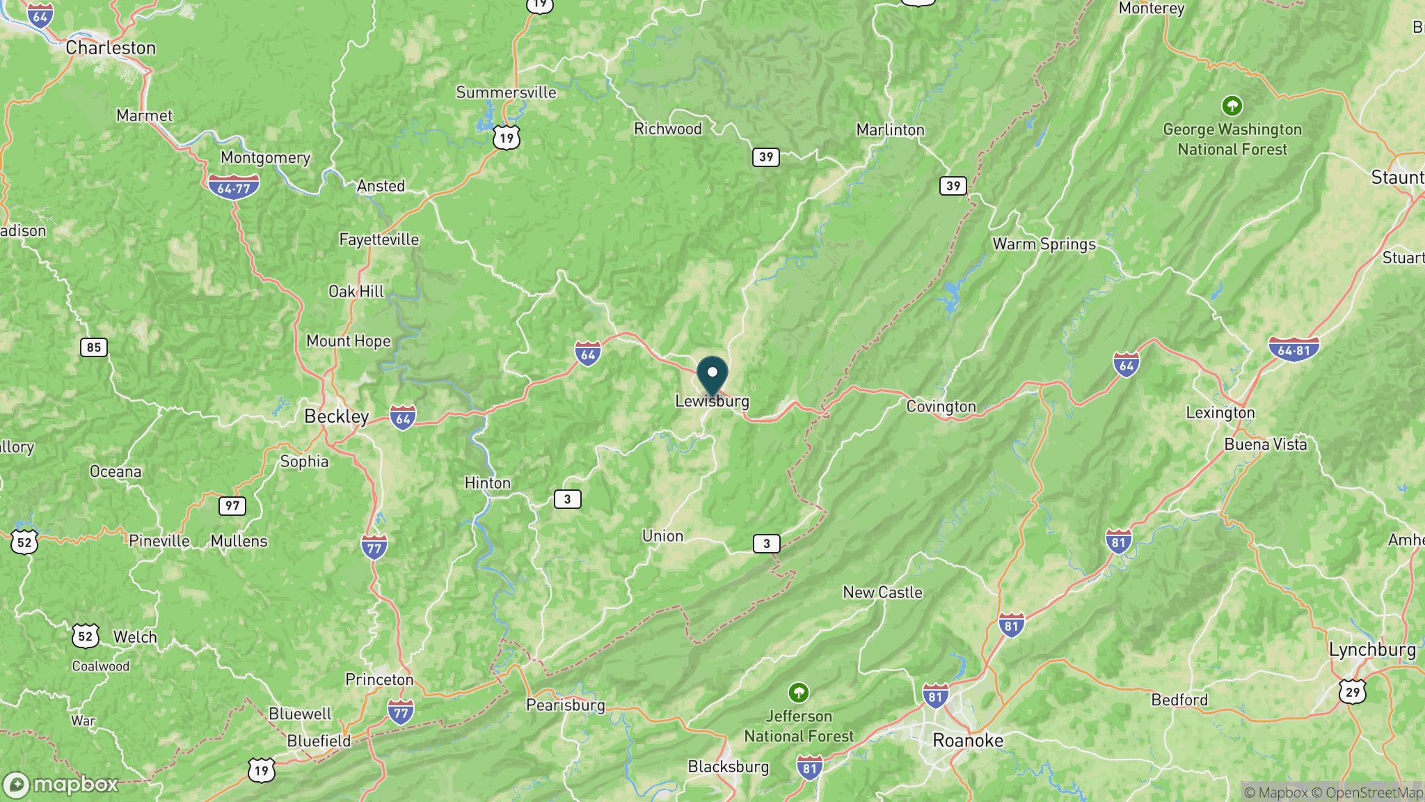
The southern trailhead at North Caldwell is off US-60 near Lewisburg, about 45 minutes from Interstate 64. The northern end is in Cass, near the Cass Scenic Railroad, accessible via WV-28 through Pocahontas County. The trail has no interior parking for most of its length; plan on starting at one end and arranging a shuttle, or doing an out-and-back from Marlinton, which sits near the midpoint and has the most services.
Official trail information
Confirm current conditions, closures, and any required trail pass on the managing agency’s page.
West Virginia State Parks: Greenbrier River TrailWhat to bring
Gear keyed to a long, flat trail day: footwear, hydration, sun protection, and a pack sized for the distance.
What to pack
Plan with our tools
Frequently asked questions
How long is the Greenbrier River Trail?
The Greenbrier River Trail is 78 miles long, making it one of the longest continuous rail-trails in the eastern United States. Most visitors do a multi-day point-to-point trip between North Caldwell (near Lewisburg) and Cass, or ride a segment out and back from Marlinton near the midpoint.
Can you camp along the Greenbrier River Trail?
Yes. Primitive camping is permitted at several designated sites along the corridor. Marlinton and Hillsboro have private campgrounds with more services, and some bed-and-breakfasts along the route cater to cyclists. The trail is popular for multi-day bikepacking trips.
What is the trail surface like on the Greenbrier River Trail?
The surface is compacted cinder, crushed limestone, and occasional ballast stone from the original railroad bed. It is well suited to hybrid, gravel, and fat-tire bikes, and to hikers in sturdy shoes. It is not recommended for narrow road tires. Some segments can be rough after heavy rain.
Are there tunnels on the Greenbrier River Trail?
Yes, there are two former-railroad tunnels on the trail. Both are unlit, so bring a headlamp or flashlight. They are short enough to walk through easily, and passing through them is one of the highlights of the corridor.
More West Virginia trails
Looking for parks instead? Browse state parks by state.