Skip to content
KITAUTHORITY
Savage Gulf State Park

State Park · Tennessee

Savage Gulf State Park

One of Tennessee's great wilderness areas on the western Cumberland Plateau: nearly 19,000 acres of sandstone cliffs, rugged canyons, and waterfalls with four separate trailheads, backcountry camping, and the Stone Door overlook.

Savage Gulf State Park

Field briefing

Savage Gulf State Park changes fast with season and elevation.

Before you go

Savage Gulf is for hikers and backpackers who want real backcountry Tennessee.

The park is nearly 19,000 acres of sheer sandstone cliffs, deep canyons, and waterfalls on the western Cumberland Plateau, connected by more than 55 miles of trail across four trailheads. Day hikers can get a taste at Stone Door or Greeter Falls without the full commitment; backpackers can plan multi-day loops through all three gulf systems. Arrive early at the North trailhead on fall weekends because the lots fill fast.

Best window
September to November for cooler hiking weather, fall color, and manageable crowds on the plateau
Signature routes
Stone Door and Laurel Gulf Overlook, Greeter Falls
Pack focus
Water, weather checks, layers
Location
Tennessee
Best time
September to November for cooler hiking weather, fall color, and manageable crowds on the plateau
Entrance
No entrance fee (Tennessee state parks are free to enter); backcountry camping permit required

When to go

Weather, crowds, and what the season changes about the trip.

Spring

High crowds

Mild to warm with wildflowers and waterfalls running strong; trails can be muddy after rain.

Pack Waterproof boots, rain shell, and layers for variable plateau weather.

Summer

Moderate crowds

Hot and humid in the gorges; the plateau rim is slightly cooler, but heat is significant by July.

Pack Water (carry plenty; no reliable sources in many areas), bug spray, sun protection, and a headlamp.

Fall

Peak crowds

The signature season: crisp air, strong color in the gorges and along the rim, and ideal hiking weather.

Pack Warm layer for early mornings, headlamp, and trekking poles for steep descent trails.

Winter

Low crowds

Cold and quiet; views are open through leafless trees, and ice formations appear near the waterfalls.

Pack Insulation, traction for icy cliff edges and wet sandstone, and a reliable navigation plan.

Top things to do

  • Stone Door and Laurel Gulf Overlook

    The most accessible dramatic view in the park: the Stone Door is a 10-foot-wide crack in the sandstone rim that served as a path for early settlers and Cherokee. The Laurel Gulf Overlook at the end of the 0.2-mile paved section is wheelchair-accessible.

  • Greeter Falls

    A two-tiered waterfall at the Savage Gulf West trailhead with a Blue Hole swimming area at the base, reached by a short but steep descent from the Greeter Falls Road trailhead.

  • Savage Gulf backcountry trail network

    More than 55 miles of trails connecting four trailheads across three major gulf systems, with backcountry campsites at Stone Door, Savage Station, Collins West, and other areas deep in the wilderness.

How long to spend

Anchor the day around Stone Door and Laurel Gulf Overlook

Put permit timing ahead of ambition, then build the route around what is actually approved. For one day in Savage Gulf State Park, make Stone Door and Laurel Gulf Overlook the non-negotiable, add Greeter Falls only if the first stop runs clean, and keep Savage Gulf backcountry trail network as the flexible finish.

  1. 1Start with Stone Door and Laurel Gulf Overlook: The most accessible dramatic view in the park: the Stone Door is a 10-foot-wide crack in the sandstone rim that served as a path for early settlers and Cherokee. The.
  2. 2Add Greeter Falls: A two-tiered waterfall at the Savage Gulf West trailhead with a Blue Hole swimming area at the base, reached by a short but steep descent from the Greeter Falls Road.
  3. 3Use Savage Gulf backcountry trail network as the optional finish, not as a reason to rush the whole day.

Plan your trip

Turn Savage Gulf's conditions into water, pack, and sleep-system decisions.

Savage Gulf State Park

Build around conditions

Let season, elevation, and weather set the plan.

Plan your trip

4 quick tools, already seeded for Savage Gulf State Park. Tune the numbers around temperature swings, footing, layers, and how much margin the route needs.

  1. 01Size your water for a mild day on the trail
  2. 02Dial in your pack base weight before you load up
  3. 03Find the pack size a multi-day trip here needs
  4. 04Check you will sleep warm down to about 30F

What to pack

Start with the gear decisions this park changes: footing, weather, camping, and water.

Pack planning

Decide what Savage Gulf State Park asks of your kit before you start checking boxes.

Use this as a constraint check while you are still shaping the trip. The active checklist becomes useful once your route, dates, and sleep plan are set.

  • First constraintHydration and exposureWater, Electrolyte mix, hat, sunscreen, sunglasses, 4 more
  • Route realityFooting and tractionHiking boots, Hiking socks, Trekking poles
  • Load choicePack and carry systemBackpacking pack
  • If overnightSleep and shelterBackpacking tent, Sleeping bag, Sleeping pad, 1 more

Checklist mode

23 items, grouped for the trip you are actually taking.

  1. Dates and season are set.
  2. Primary route, campground, or lodge is chosen.
  3. Water, footwear, and overnight needs are sized.

Gear for Savage Gulf

The buying guides that match what Savage Gulf asks of your kit, with our current top picks across budget and use case.

Where to stay

The park has backcountry campsites at Stone Door, Savage Station, Collins West, and other locations deep in the trail system; a permit is required. There is no front-country campground. Beersheba Springs is the closest community to the North trailhead; Altamont, Monteagle, and McMinnville are the practical base towns for lodging and supplies.

Camping reservations

Camping reservations

Reserve a Savage Gulf backcountry camping permit through Tennessee State Parks.

All overnight camping at Savage Gulf is backcountry only, with a permit required. Reserve through reserve.tnstateparks.com and plan your trailhead and campsite based on which gulf section you want to explore.

Reviewed June 11, 2026

Booking window

Backcountry camping permits are reservable through reserve.tnstateparks.com or by calling 1-888-867-2757.

  • All camping at Savage Gulf is backcountry only; there is no front-country campground.
  • Backcountry campsites are located throughout the trail network at Stone Door, Savage Station, Collins West, and other areas.
  • Mapping apps are sometimes unreliable for navigating to Savage Gulf trailheads; use physical addresses and confirm routes in advance.

Where to book or verify

Savage Gulf State Park reservations

Reserve backcountry camping permits and the Stone Door Shelter through Tennessee State Parks.

Savage Gulf State Park information

Official Tennessee State Parks page with trailhead addresses, safety information, and trail maps.

Search Recreation.gov

Check for federal campground, backcountry, tour, and permit inventory tied to this park.

Campgrounds to know

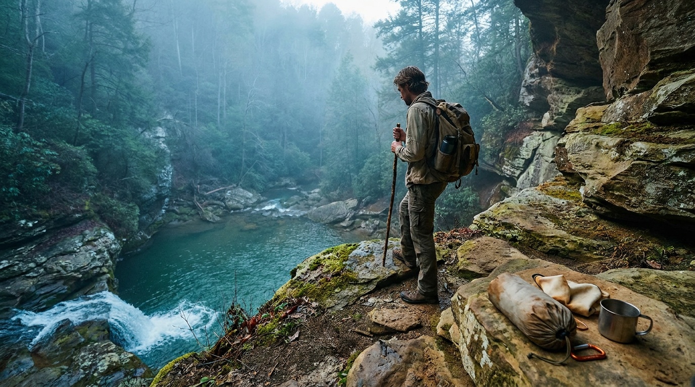
Savage Gulf backcountry campsites (multiple locations)

Details
Booking
Reserve through reserve.tnstateparks.com.
Season
Open year-round; some areas may be affected by seasonal conditions.
Sites
Backcountry tent sites throughout the 55-plus-mile trail network; no hookups or amenities at camp.
Stone Door Campground is accessible from the North trailhead; Savage Station is the primary East trailhead camp.

Getting there and practical info

Savage Gulf State Park

Build the arrival around the reservation.

Entry windows, permit pickups, and drive time should be checked before the itinerary gets crowded.

Getting there

Get to Savage Gulf State Park with the required window already protected.

Access rhythm
Plan the last mile
Region
Tennessee
  1. Car strategy

    Savage Gulf has four trailheads: the North trailhead and Stone Door Ranger Station at 1183 Stone Door Road in Beersheba Springs; the East trailhead and Savage Gulf Ranger Station at 3157 SR 399 in Palmer; the West trailhead for Greeter Falls at 550 Greeter Falls Road in Altamont; and the South trailhead at 2689 55th Avenue in Gruetli-Laager.

  2. Access note

    Mapping apps are sometimes unreliable; use these physical addresses.

  3. Local movement

    The North trailhead at Beersheba Springs is the most commonly visited and is about 30 minutes northwest of McMinnville.

Pair this with lodging: choose the base that keeps the reservation or permit pickup from becoming the hardest part of the day.

Frequently asked questions

What is the Stone Door at Savage Gulf State Park?

The Stone Door is a narrow 10-foot-wide crack in the sandstone rim of the Cumberland Plateau, used by early settlers and the Cherokee as a passageway down into the gulf below. It is about a mile from the North trailhead at the Stone Door Ranger Station.

Does Savage Gulf have a campground?

There is no front-country campground. All camping at Savage Gulf is backcountry, with permits required and sites distributed throughout the 55-plus-mile trail network. Reserve through reserve.tnstateparks.com.

What is Greeter Falls at Savage Gulf?

Greeter Falls is a two-tiered waterfall at the park's West trailhead accessed from Greeter Falls Road in Altamont. A short, steep trail leads to the falls and the Blue Hole swimming area at the base. It is one of the most accessible features in the park for day hikers.

How many miles of trails does Savage Gulf State Park have?

The park has more than 55 miles of trails connecting four separate trailheads across three gulf systems (Savage Gulf, Collins Gulf, and Big Creek Gulf). The trail network allows multi-day backpacking loops and one-way point-to-point routes between trailheads.

Keep planning