Skip to content
KITAUTHORITY
Rock Island State Park

State Park · Tennessee

Rock Island State Park

Where the Caney Fork, Collins, and Rocky Rivers converge at the headwaters of Center Hill Lake: Great Falls, Twin Falls, a natural sand beach on limestone cliffs, a historic cotton mill ruin, and cabins plus camping on a 2,000-plus-acre park.

Rock Island State Park

Field briefing

Rock Island State Park starts with access, not mileage.

Before you go

Rock Island packs a remarkable amount of water scenery into 2,000 acres: two major waterfalls, a gorge, a sand beach on a big reservoir, and the confluence of three rivers with a historic cotton mill ruin on the bluffs above.

The key planning detail is the TVA dam: water release schedules from the Great Falls Dam control gorge access and can change hourly, so always check tva.gov before planning any gorge activity. Cabins and a campground are available for overnight stays.

Best window
May to early September for the sand beach and gorge access when TVA water releases permit
Signature routes
Great Falls and Twin Falls, Caney Fork River Gorge
Pack focus
Water, route logistics, weather checks
Location
Tennessee
Best time
May to early September for the sand beach and gorge access when TVA water releases permit
Entrance
No entrance fee (Tennessee state parks are free to enter); camping and cabin fees apply

When to go

Weather, crowds, and what the season changes about the trip.

Spring

Moderate crowds

Cool with high water from winter rains; waterfalls are powerful but gorge access may be limited by TVA releases.

Pack Waterproof footwear, layers, and a check of TVA water release schedules before any gorge visit.

Summer

Peak crowds

Warm and popular; the sand beach, Blue Hole fishing, and cold-hole swimming are the draws.

Pack Swim gear, life jacket, sun protection, and TVA release check before entering the gorge.

Fall

High crowds

Cooler and less crowded after Labor Day; fall color over the limestone gorge is outstanding.

Pack Warm layer, headlamp for shorter days, and waterproof footwear for wet limestone.

Winter

Low crowds

Cool and quiet; the cabins are open year-round and the cotton mill and overlooks remain accessible.

Pack Insulation and traction for slick limestone paths in wet or icy conditions.

Top things to do

  • Great Falls and Twin Falls

    Great Falls is a horseshoe-shaped waterfall whose flow changes with TVA dam releases; Twin Falls drops from the Collins River out of limestone bluffs into the Caney Fork, forming the headwaters of Center Hill Lake.

  • Caney Fork River Gorge

    A rugged gorge of slick limestone carved by swift currents, with the cold hole swimming spot and gorge trail when TVA releases permit. Swimming downstream of the powerhouse is never permitted regardless of water level.

  • Center Hill Lake sand beach and Blue Hole

    A natural sand beach set against limestone cliffs on Center Hill Lake, with the Blue Hole just upstream serving as one of the finest walleye spawning grounds in the state, accessible by boat.

How long to spend

Anchor the day around Great Falls and Twin Falls

Keep one flexible slot in the day, because weather, parking, and energy usually decide more than the map does. For one day in Rock Island State Park, make Great Falls and Twin Falls the non-negotiable, add Caney Fork River Gorge only if the first stop runs clean, and keep Center Hill Lake sand beach and Blue Hole as the flexible finish.

  1. 1Start with Great Falls and Twin Falls: Great Falls is a horseshoe-shaped waterfall whose flow changes with TVA dam releases; Twin Falls drops from the Collins River out of limestone bluffs into the Caney.
  2. 2Add Caney Fork River Gorge: A rugged gorge of slick limestone carved by swift currents, with the cold hole swimming spot and gorge trail when TVA releases permit. Swimming downstream of the.
  3. 3Use Center Hill Lake sand beach and Blue Hole as the optional finish, not as a reason to rush the whole day.

Plan your trip

Turn Rock Island's conditions into water, pack, and sleep-system decisions.

Rock Island State Park

Build around access

Plan the transfer before the trail list.

Plan your trip

4 quick tools, already seeded for Rock Island State Park. Tune the route, pack weight, weather margin, and overnight setup after the access plan is real.

  1. 01Size your water for a mild day on the trail
  2. 02Find the right daypack size for a day out
  3. 03Check you will sleep warm down to about 30F
  4. 04Estimate the stove fuel to pack for the trip

What to pack

Start with the gear decisions this park changes: footing, weather, camping, and water.

Pack planning

Decide what Rock Island State Park asks of your kit before you start checking boxes.

Use this as a constraint check while you are still shaping the trip. The active checklist becomes useful once your route, dates, and sleep plan are set.

  • First constraintHydration and exposureWater, hat, sunscreen, sunglasses, Navigationmap, downloaded GPS, or a GPS watch, 3 more
  • Route realityFooting and tractionHiking boots, Hiking socks, Trekking poles
  • Load choicePack and carry systemDaypack
  • If overnightSleep and shelterTent, Sleeping bag, Sleeping pad

Checklist mode

22 items, grouped for the trip you are actually taking.

  1. Dates and season are set.
  2. Primary route, campground, or lodge is chosen.
  3. Water, footwear, and overnight needs are sized.

Gear for Rock Island

The buying guides that match what Rock Island asks of your kit, with our current top picks across budget and use case.

Where to stay

The park has cabins and a campground with reservable sites. The sand beach area has pavilions for day-use groups. Smithville and Cookeville are the nearest towns with full lodging options, each about 20 to 30 minutes from the park.

Camping reservations

Camping reservations

Reserve Rock Island cabins and campsites through the Tennessee State Parks system.

The cabins book fast for summer weekends on Center Hill Lake. Reserve through reserve.tnstateparks.com and verify TVA water release schedules before planning any gorge activities.

Reviewed June 11, 2026

Booking window

Tennessee state park campsites and cabins are reservable through reserve.tnstateparks.com or by calling 1-888-867-2757.

  • Always check TVA Great Falls Dam release schedules at tva.gov before visiting the gorge or gorge-adjacent areas.
  • Swimming or wading downstream of the powerhouse is never permitted at any water level.
  • Pavilions for 50 to 75 people can be reserved in advance with a $42 to $84 rental fee.

Where to book or verify

Rock Island State Park reservations

Reserve cabins, campsites, and pavilions through the Tennessee State Parks booking system.

Rock Island State Park information

Official Tennessee State Parks page with trail, safety, and facility details.

TVA Great Falls Dam water release schedule

Check before any gorge visit; releases change hourly and trigger gorge closures.

Search Recreation.gov

Check for federal campground, backcountry, tour, and permit inventory tied to this park.

Campgrounds to know

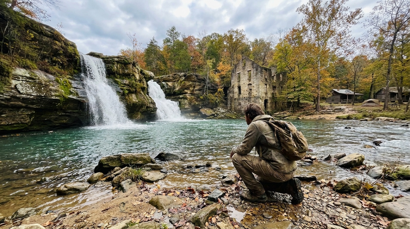
Rock Island campground

Details
Booking
Reserve through reserve.tnstateparks.com.
Season
Open year-round; verify current site availability.
Sites
Tent and RV sites with a campground pavilion; boat ramp access subject to Center Hill Lake levels.
Note that renovation work at Center Hill Dam may affect lake levels and boat ramp availability; call the park to confirm.

Rock Island cabins

Details
Booking
Reserve through reserve.tnstateparks.com.
Season
Open year-round.
Sites
Cabins near the park, with lake and river access.
The cabins are the most in-demand overnight option at this park.

Getting there and practical info

Rock Island State Park

Plan the last mile as carefully as the destination.

Airports, roads, entrances, and local movement belong in the same plan.

Getting there

Get to Rock Island State Park, then move through the park without wasting the day.

Access rhythm
Plan the last mile
Region
Tennessee
  1. Car strategy

    Rock Island State Park is at 82 Beach Road, Rock Island, Tennessee, about 20 minutes south of Smithville and 30 minutes south of Cookeville off Highway 136.

  2. Car strategy

    A car is the practical way to reach the park and move between the beach area, waterfall overlooks, gorge trailhead, and campground.

  3. Car strategy

    The park sits at the convergence of three rivers on the upper Cumberland Plateau, and the approach roads wind through rural Warren and White County terrain.

Pair this with lodging: the simplest base is the one that removes a real morning problem, not just the one nearest the map pin.

Frequently asked questions

Why does the gorge at Rock Island sometimes close?

The TVA Great Falls Dam controls water flow into the Caney Fork River Gorge. Water releases can change hourly based on lake levels and power generation, and the gorge closes when releases are active or predicted. Check tva.gov for the Great Falls Dam schedule before any gorge visit.

Can you swim at Rock Island State Park?

Yes, in the right locations. The natural sand beach on Center Hill Lake is the main swimming area. In the gorge, the cold hole is a swimming spot when the gorge is open. Swimming downstream of the powerhouse is never permitted at any water level.

What are Great Falls and Twin Falls at Rock Island?

Great Falls is a horseshoe-shaped waterfall just below the TVA dam whose flow and appearance change dramatically with water releases. Twin Falls drops from the Collins River out of limestone bluffs into the Caney Fork, creating the headwaters of Center Hill Lake.

What is the historic cotton mill at Rock Island?

The Falls City Cotton Mill operated from 1892 to 1902 on the limestone bluffs above the Caney Fork River, using the waterfall's power. The ruins still stand and can be seen from overlooks and trails in the park.

Keep planning