Skip to content
KITAUTHORITY
The towering 800-foot Scotts Bluff rising abruptly from the flat Nebraska prairie above the North Platte River, layered tan badland cliffs, big plains sky, warm evening light

National Park Service · Nebraska

Scotts Bluff National Monument

An 800-foot bluff above the North Platte River that was a landmark for hundreds of thousands of Oregon Trail emigrants, with a historic summit road and trails to the top.

The historic concrete Summit Road switchbacking up Scotts Bluff and entering a stone tunnel, prairie and bluff face, dramatic morning shadows

Field briefing

Scotts Bluff National Monument changes fast with season and elevation.

Before you go

Scotts Bluff is a free, easy half-day stop centered on an 800-foot bluff that guided Oregon Trail emigrants across the plains.

There is no entrance fee and no reservation or permit to arrange. You reach the summit either by driving the historic 1.6-mile Summit Road, the oldest concrete road in Nebraska, through three tunnels, or by hiking the moderate 3.2-mile Saddle Rock Trail. The trails and road are exposed to wind and sun, and the Summit Road can close in winter snow, so summer through fall is the easiest window.

Best window
May to October for warm, dry hiking and the summit road, with summer busiest
Signature routes
Summit Road and overlooks, Saddle Rock Trail
Pack focus
Water, weather checks, layers

The landmarks worth the trip. Tap any photo to enlarge.

Location
Nebraska
Established
1919
Size
3,003 acres
Best time
May to October for warm, dry hiking and the summit road, with summer busiest
Entrance
No entrance fee
Nearest airport
Scottsbluff (BFF) about 15 minutes; Denver (DEN) about 3 hours

When to go

Weather, crowds, and what the season changes about the trip.

Spring

Moderate crowds

Variable and windy, with green prairie, mild days, and possible late storms.

Pack Wind layer, sun protection, and water for the exposed summit trail.

Summer

High crowds

Warm to hot days, big skies, and afternoon thunderstorms on the high plains.

Pack Sun shirt, plenty of water, and an early start to beat heat and storms.

Fall

Moderate crowds

Crisp, clear days with golden cottonwoods along the river and strong light on the bluff.

Pack Warm layer, water, and a camera for low-angle prairie light.

Winter

Low crowds

Cold and windy, with snow and ice that can close the summit road.

Pack Insulation, traction, and a check on road conditions before driving up.

Top things to do

  • Summit Road and overlooks

    A 1.6-mile road built by the Civilian Conservation Corps, the oldest concrete road in Nebraska, climbing through three tunnels to summit overlooks above the plains.

  • Saddle Rock Trail

    The monument's main hike, a paved but steep climb of about 435 feet from the visitor center to the summit, through a tunnel and along the cliff face.

  • Oregon Trail ruts and the Oregon Trail Pathway

    Preserved wagon ruts and a flat interpretive path near the visitor center, marking where hundreds of thousands of emigrants passed this landmark.

How long to spend

Make Summit Road and overlooks the timed anchor

Put the timed or highest-demand stop first, then keep the rest of the day close and low-friction. For one day in Scotts Bluff National Monument, time Summit Road and overlooks first, then keep Saddle Rock Trail and Oregon Trail ruts and the Oregon Trail Pathway close enough that the visit still feels relaxed.

  1. 1Start with Summit Road and overlooks: A 1.6-mile road built by the Civilian Conservation Corps, the oldest concrete road in Nebraska, climbing through three tunnels to summit overlooks above the plains.
  2. 2Add Saddle Rock Trail: The monument's main hike, a paved but steep climb of about 435 feet from the visitor center to the summit, through a tunnel and along the cliff face.
  3. 3Use Oregon Trail ruts and the Oregon Trail Pathway as the slower finish before leaving the area.

Plan your trip

Turn Scotts Bluff's conditions into water, pack, and sleep-system decisions.

Panoramic summit view from atop Scotts Bluff over the green North Platte valley and distant Wildcat Hills, vast plains stretching to the horizon

Build around conditions

Let season, elevation, and weather set the plan.

Plan your trip

2 quick tools, already seeded for Scotts Bluff National Monument. Tune the numbers around temperature swings, footing, layers, and how much margin the route needs.

  1. 01Size your water for a mild day on the trail
  2. 02Find the right daypack size for a day out

What to pack

Start with the gear decisions this park changes: footing, weather, camping, and water.

Pack planning

Decide what Scotts Bluff National Monument asks of your kit before you start checking boxes.

Use this as a constraint check while you are still shaping the trip. The active checklist becomes useful once your route, dates, and sleep plan are set.

  • First constraintHydration and exposureWater, Electrolyte mix, hat, sunscreen, sunglasses, 4 more
  • Route realityFooting and tractionHiking boots, Hiking socks, Trekking poles
  • Load choicePack and carry systemDaypack
  • Season checkLayers for conditionsMoisture-wicking base layers, Rain jacket, Insulated jacket, 1 more

Checklist mode

16 items, grouped for the trip you are actually taking.

  1. Dates and season are set.
  2. Primary route, campground, or lodge is chosen.
  3. Water, footwear, and overnight needs are sized.

Gear for Scotts Bluff

The buying guides that match what Scotts Bluff asks of your kit, with our current top picks across budget and use case.

Where to stay

There is no camping or lodging inside the monument. The neighboring towns of Gering and Scottsbluff, just minutes away, have the closest hotels, food, and fuel. For camping, Robidoux RV Park in Gering and the surrounding Wildcat Hills and North Platte River areas offer sites. Many travelers fold Scotts Bluff into an Oregon Trail route with nearby Chimney Rock.

Camping reservations

Camping reservations

No camping or fees at the monument. Stay in Gering or Scottsbluff, minutes away.

Scotts Bluff is a free, day-use monument with no campground and nothing to reserve. For overnights, the adjacent towns of Gering and Scottsbluff have lodging and nearby campgrounds.

Reviewed June 11, 2026

Booking window

No entrance fee, reservations, or permits are required to visit. Nearby town and regional campgrounds book independently.

  • There is no entrance fee, reservation, or permit needed to visit the monument.
  • The monument is day-use only with no campground; camping is in the surrounding area.
  • The Summit Road can close for snow and ice in winter, so check conditions before driving up.

Where to book or verify

Scotts Bluff plan your visit

Official NPS page with hours, the Summit Road, trails, and visitor center details.

Search Recreation.gov

Check for federal campground, backcountry, tour, and permit inventory tied to this park.

Campgrounds to know

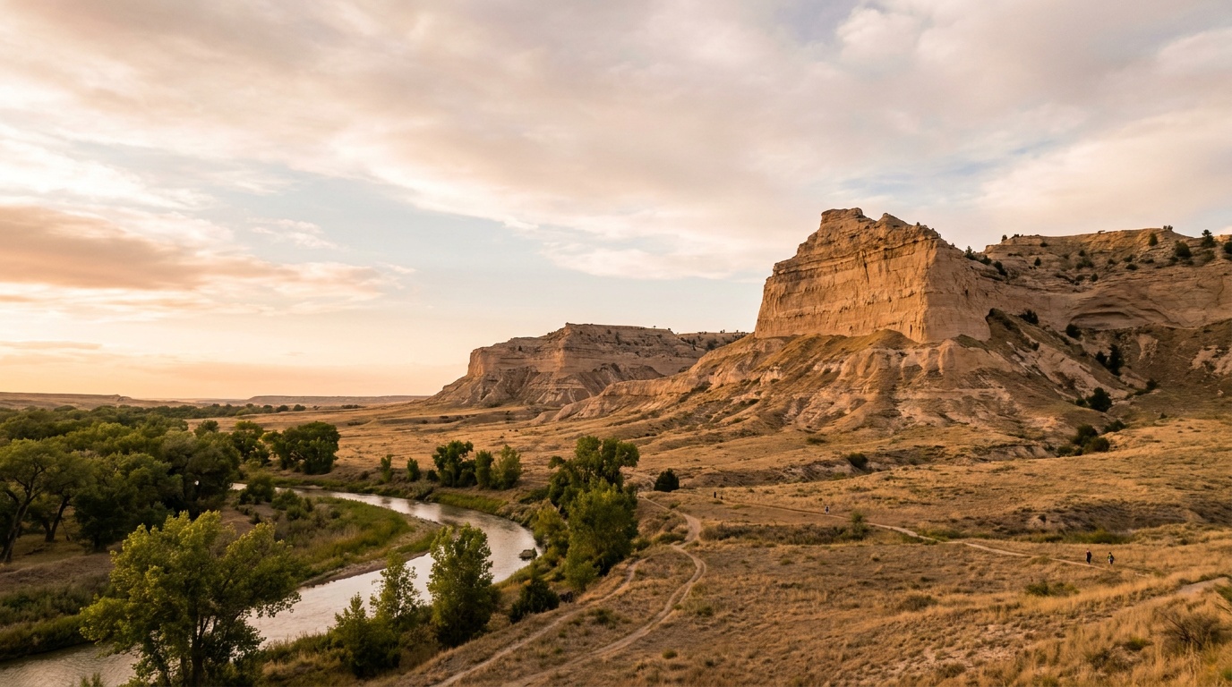
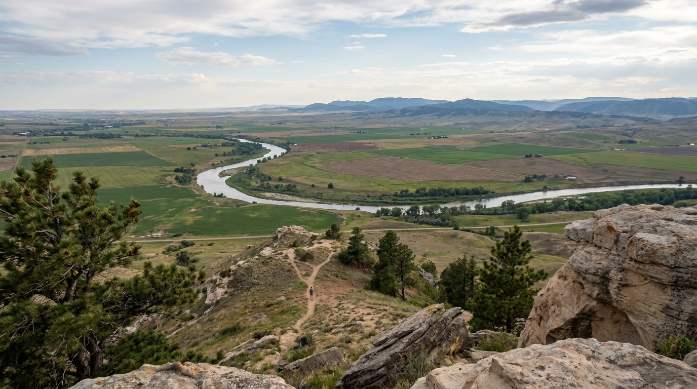
Gering and Scottsbluff area campgrounds (nearby)

Details
Season
Varies by campground; peak season summer through fall.
Sites
RV parks and regional campgrounds in the neighboring towns and Wildcat Hills.
The monument has no camping; the adjacent towns are the practical base.

Getting there and practical info

The towering 800-foot Scotts Bluff rising abruptly from the flat Nebraska prairie above the North Platte River, layered tan badland cliffs, big plains sky, warm evening light

Build the arrival around the reservation.

Entry windows, permit pickups, and drive time should be checked before the itinerary gets crowded.

Getting there

Get to Scotts Bluff National Monument with the required window already protected.

Nearest airport
Scottsbluff (BFF) about 15 minutes; Denver (DEN) about 3 hours
Access rhythm
Plan the last mile
Region
Nebraska
  1. Arrival note

    The monument sits just west of Gering and Scottsbluff in the Nebraska Panhandle, off NE 92 along the North Platte River.

  2. Fly in

    A car is the practical way to visit, and the nearest airport is in Scottsbluff, about 15 minutes away, with Denver around three hours south.

  3. Local movement

    Many visitors come as part of an Oregon Trail route that also takes in Chimney Rock to the east.

Pair this with lodging: choose the base that keeps the reservation or permit pickup from becoming the hardest part of the day.

LocationNebraska

Frequently asked questions

Is there an entrance fee for Scotts Bluff National Monument?

No. There is no entrance fee, and no reservation or permit is needed to visit. You can drive the Summit Road, hike the trails, and tour the Oregon Trail Museum for free.

How do you get to the top of Scotts Bluff?

Two ways: drive the historic 1.6-mile Summit Road through its three tunnels to the overlooks, or hike the moderate 3.2-mile Saddle Rock Trail, a paved but steep climb of about 435 feet from the visitor center to the summit.

Can you camp at Scotts Bluff National Monument?

No. The monument is day-use only with no campground. The neighboring towns of Gering and Scottsbluff, just minutes away, have hotels and nearby RV and regional campgrounds.

Why was Scotts Bluff important on the Oregon Trail?

The 800-foot bluff was a major landmark for emigrants on the Oregon, California, and Mormon trails. By the time wagon trains reached it, they were about a third of the way to Oregon. Preserved wagon ruts near the visitor center mark the historic route.

Keep planning